Loch na Mial

Lake, Pool, Pond, Freshwater Marsh in Ross-shire

Scotland

Loch na Mial

Up above the old road This is not country in which to venture without navigations skills. It's boggy, and many of the ups and downs are not pronounced enough to generate contours. We were able to park on the old road - visible on the 1:25000 OS map - and it was a slightly boggy walk up onto rock. One of little lochans in the square can be seen, as can a typical "knock" of Lewisian gneiss. The (somewhat dilapidated) fence to my west could not be seen from where I took the photo.
Up above the old road Credit: Neville Goodman

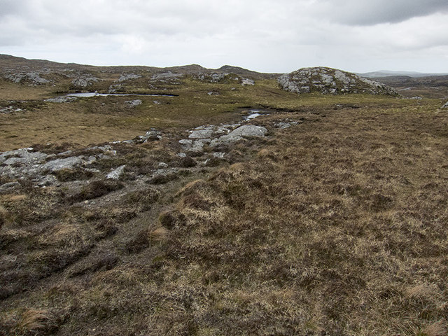
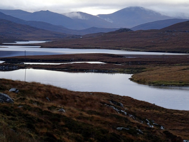
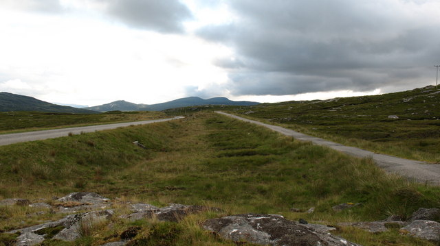
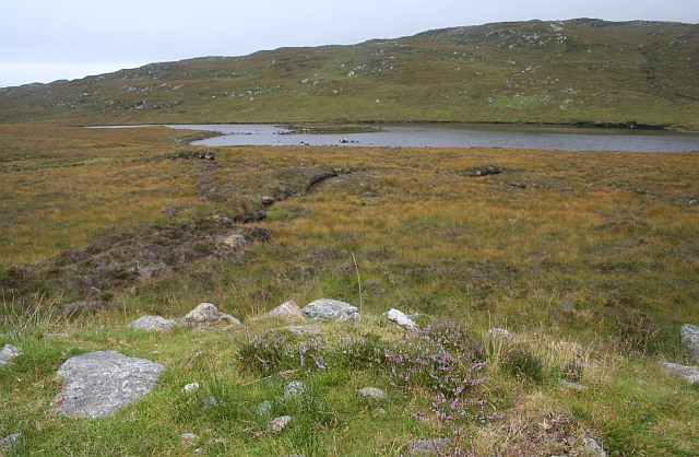
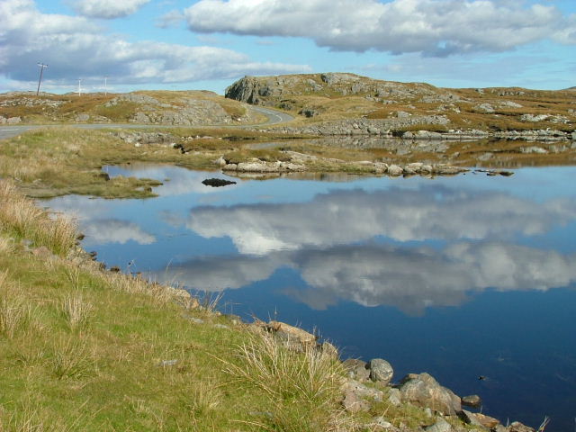
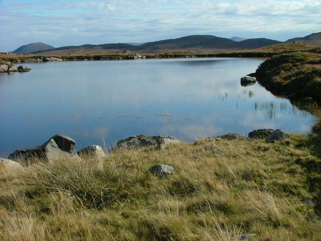
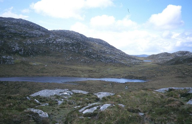
Loch na Mial is a freshwater loch located in Ross-shire, Scotland. Nestled amidst the scenic landscape, it is a picturesque body of water that exhibits an array of natural features. Spanning an area of approximately 10 acres, the loch is known for its tranquil and serene surroundings.

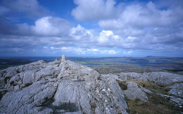
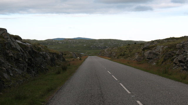
Surrounded by rolling hills and lush greenery, Loch na Mial offers breathtaking views, making it a popular destination for nature enthusiasts and photographers. The loch is situated at an elevation of around 300 meters, adding to its allure and providing visitors with panoramic vistas of the surrounding countryside.

The water in Loch na Mial is freshwater, and it is home to various species of fish, including brown trout, which attracts anglers from far and wide. The loch is known for its rich biodiversity and serves as a habitat for a variety of aquatic plants and animals.

Additionally, Loch na Mial is also a haven for birdlife, with several species of waterfowl, such as ducks and geese, making it their home during different seasons. This makes it an ideal location for birdwatching, allowing visitors to observe and appreciate the diverse avian population.

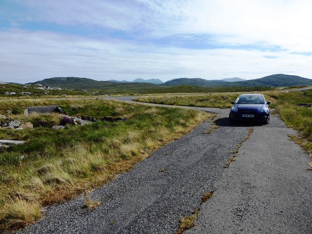
The loch is surrounded by a mix of marshland and woodland, creating a diverse ecosystem that supports a range of flora and fauna. The surrounding area is also home to walking trails, making it a great spot for outdoor enthusiasts to explore and enjoy the natural beauty of the Scottish Highlands.

In summary, Loch na Mial is a stunning freshwater loch that offers a peaceful and scenic retreat in the heart of Ross-shire. Its rich biodiversity, diverse birdlife, and captivating landscapes make it a must-visit destination for nature lovers and those seeking a tranquil escape.

If you have any feedback on the listing, please let us know in the comments section below.

Loch na Mial Images

Images are sourced within 2km of 58.157397/-6.799413 or Grid Reference NB1728. Thanks to Geograph Open Source API. All images are credited.
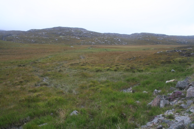
Up above the old road This is not country in which to venture without navigations skills. It's boggy, and many of the ups and downs are not pronounced enough to generate contours. We were able to park on the old road - visible on the 1:25000 OS map - and it was a slightly boggy walk up onto rock. One of little lochans in the square can be seen, as can a typical "knock" of Lewisian gneiss. The (somewhat dilapidated) fence to my west could not be seen from where I took the photo.
Up above the old road
This is not country in which to venture without navigations skills. It's boggy, and many of the ups and downs are not pronounced enough to generate contours. We were able to park on the old road - visible on the 1:25000 OS map - and it was a slightly boggy walk up onto rock. One of little lochans in the square can be seen, as can a typical "knock" of Lewisian gneiss. The (somewhat dilapidated) fence to my west could not be seen from where I took the photo.
B8059 and the lochs leading in to the Lewis-Harris borderlands This string of linked lochs have 'Faoghail' in their names; this is the Gaelic word for ford.
B8059 and the lochs leading in to the Lewis-Harris borderlands
This string of linked lochs have 'Faoghail' in their names; this is the Gaelic word for ford.
Loch Speireag Viewed from the B8059 road. The hills of North Harris in view.
Loch Speireag
Viewed from the B8059 road. The hills of North Harris in view.
Section of abandoned road next to the B8011
Conostom The summit of Teathabhal (256m) looking northward.
Conostom
The summit of Teathabhal (256m) looking northward.
Old and new roads. looking west along the B8011 in West Lewis with the new twin-track road on the left and the original single track road on the right.  At the moment the old road still has a reasonable tarred surface and is used by cyclists and walkers.
Old and new roads.
looking west along the B8011 in West Lewis with the new twin-track road on the left and the original single track road on the right. At the moment the old road still has a reasonable tarred surface and is used by cyclists and walkers.
Peat cutting, West Lewis. Peat cutting near the roadside - miles from any settlement.
Peat cutting, West Lewis.
Peat cutting near the roadside - miles from any settlement.
A very odd lochan. There's nothing particularly unusual about this tiny, unnamed lochan close to the B8011, but maybe the cartographer made a mistake? The map shows a black outline around the loch, indicating [usually] tidal water, but it would seem unusual for the tide to reach 75 metres above its normal level.
A very odd lochan.
There's nothing particularly unusual about this tiny, unnamed lochan close to the B8011, but maybe the cartographer made a mistake? The map shows a black outline around the loch, indicating [usually] tidal water, but it would seem unusual for the tide to reach 75 metres above its normal level.
Rocky cutting on the B8011 The reconstructed B8011 in West Lewis has been built through the landscape with cuttings and embankments, unlike the old road which was laid over the landscape. The new road encourages rapid progress, but drivers should beware of sheep and red deer.
Rocky cutting on the B8011
The reconstructed B8011 in West Lewis has been built through the landscape with cuttings and embankments, unlike the old road which was laid over the landscape. The new road encourages rapid progress, but drivers should beware of sheep and red deer.
Loch Speireig The loch has a very interesting small circular island that could well be a man-made, iron age, dun or crannog.
Loch Speireig
The loch has a very interesting small circular island that could well be a man-made, iron age, dun or crannog.
Reflections on Loch Sgaire A short causeway separates this loch from Loch Faoghail an Tuim.
Reflections on Loch Sgaire
A short causeway separates this loch from Loch Faoghail an Tuim.
Unnamed Lochan South of the B8011 Road. There are countless unnamed Lochs and Lochans on West Lewis.
Unnamed Lochan South of the B8011 Road.
There are countless unnamed Lochs and Lochans on West Lewis.
Ruins of a sheiling, Cnoc Gorm Lonely ruin on a hillside a few hundred metres from the B8011 across cleg infested bog and rock.
Ruins of a sheiling, Cnoc Gorm
Lonely ruin on a hillside a few hundred metres from the B8011 across cleg infested bog and rock.
Druim Mor Long stretches of the B8011 have been realigned, as here. The old single-track road is off to the left of this photo. Older maps, showing the previous alignment, may confuse.
Druim Mor
Long stretches of the B8011 have been realigned, as here. The old single-track road is off to the left of this photo. Older maps, showing the previous alignment, may confuse.
Druim Mor These twin cairns are conspicuous from the B8011, indeed there is a parking space nearby, but they do not mark a summit or other feature and I have not established the reason for their presence.
Recently the B8011 has been realigned and upgraded to a two-lane road.  The original, single-track route is clearly seen above the right-hand cairn.  The modern road can just be seen to the right of the base of that cairn.
Druim Mor
These twin cairns are conspicuous from the B8011, indeed there is a parking space nearby, but they do not mark a summit or other feature and I have not established the reason for their presence. Recently the B8011 has been realigned and upgraded to a two-lane road. The original, single-track route is clearly seen above the right-hand cairn. The modern road can just be seen to the right of the base of that cairn.
Loch Ruadh Under the small but very rocky peak of Teathabhal.
Loch Ruadh
Under the small but very rocky peak of Teathabhal.
Peat Bogs at the Source of the Lundale River The various streams form the river Lundale which flows north to Tob Lundale and into Loch Rog. Beyond the valley is the hill of Cnoc Mhi Neil.
Peat Bogs at the Source of the Lundale River
The various streams form the river Lundale which flows north to Tob Lundale and into Loch Rog. Beyond the valley is the hill of Cnoc Mhi Neil.
Show me another place!

Loch na Mial is located at Grid Ref: NB1728 (Lat: 58.157397, Lng: -6.799413)

Unitary Authority: Na h-Eileanan an Iar

Police Authority: Highlands and Islands

What 3 Words

///stitch.stirs.tastings. Near Carloway, Na h-Eileanan Siar

Related Wikis

Eilean Chearstaidh

Eilean Kearstay (Scottish Gaelic: Eilean Chearstaigh) is an uninhabited island in Loch Roag in the Outer Hebrides of Scotland. It lies south east of Great...

Callanish IV

The Callanish IV stone circle (Scottish Gaelic: Ceann Hulavig) is one of many megalithic structures around the better-known (and larger) Calanais I on...

Callanish Stones

The Callanish Stones (or "Callanish I": Scottish Gaelic: Clachan Chalanais or Tursachan Chalanais) are an arrangement of standing stones placed in a cruciform...

Gisla Hydro-Electric Scheme

Gisla Hydro-Electric Scheme was a small scheme promoted by the North of Scotland Hydro-Electric Board on the Isle of Lewis, Outer Hebrides, Scotland. It...

Nearby Amenities

Located within 500m of 58.157397,-6.799413
Gearraidh Druim na h-Uamha
Place: locality
Lat/Long: 58.1609977/-6.8023452
Cleit Iain
Place: locality
Lat/Long: 58.159768/-6.7983339
Geàrraidh Druim a' Charran Bheag
Place: locality
Lat/Long: 58.1568021/-6.79329
The data included in this document is from www.openstreetmap.org. The data is made available under ODbL.

Have you been to Loch na Mial?

Leave your review of Loch na Mial below (or comments, questions and feedback).