Gembling

Settlement in Yorkshire

England

Gembling

Lissett Wind Farm
Lissett Wind Farm Credit: Michael W Beales BEM

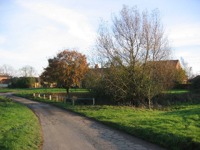
Gembling is a small village located in the picturesque region of Yorkshire, England. Situated in the East Riding of Yorkshire, it is nestled between the rolling hills and lush green fields that epitomize the beauty of this area. Gembling is situated approximately 10 miles southwest of the bustling market town of Beverley.

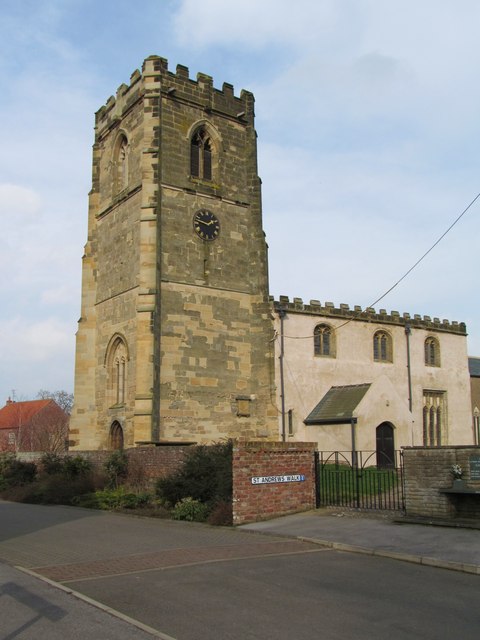
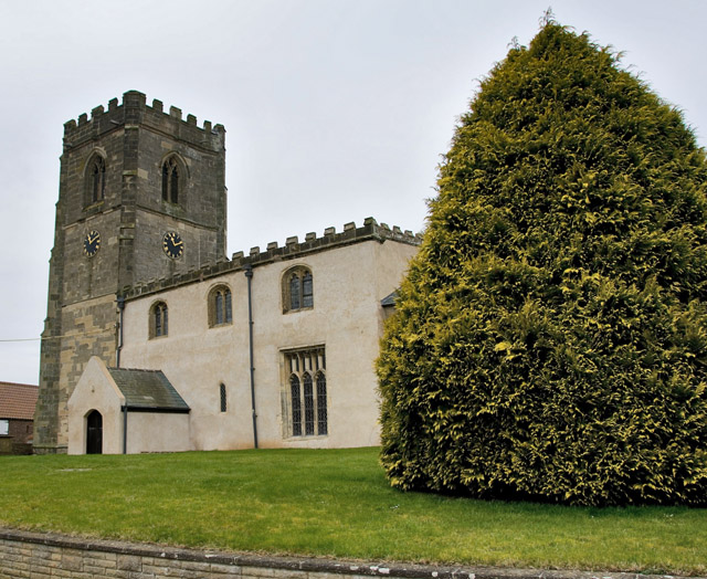
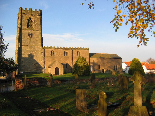
The village itself is characterized by its charming and traditional architecture, with many of the buildings dating back several centuries. The local church, St. Mary's, stands proudly in the heart of the village, serving as a reminder of Gembling's rich history and heritage.

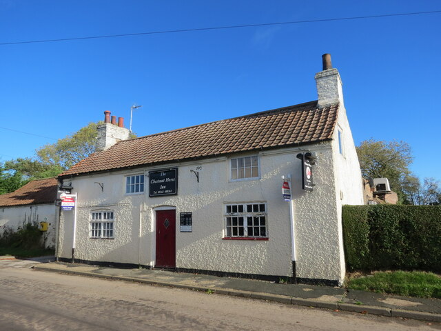
Despite its small size, Gembling has a strong sense of community, with residents actively involved in various local events and activities. The village hosts an annual summer fair, which attracts visitors from neighboring towns and villages. Additionally, there is a small but vibrant local pub, The Crown Inn, where locals can gather for a pint and a chat.

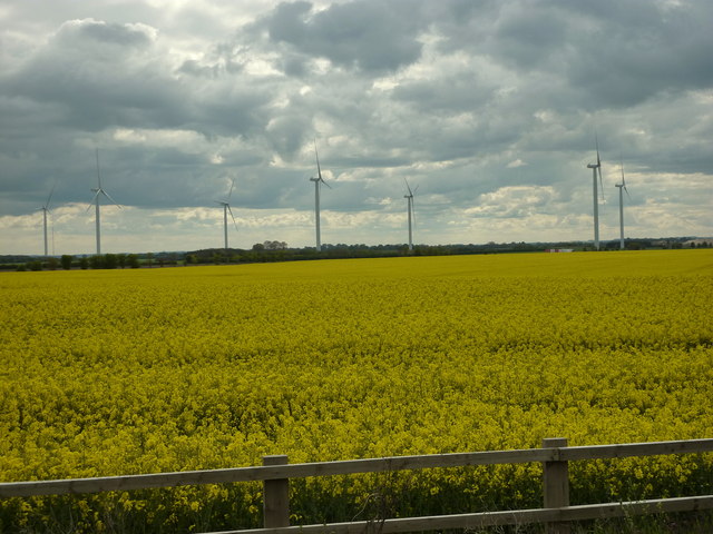
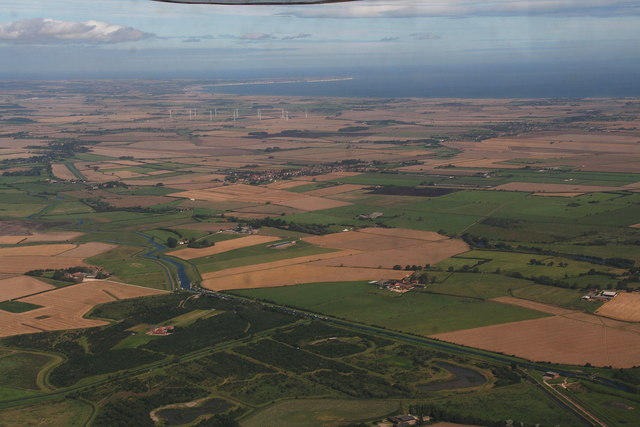
The surrounding countryside is a haven for nature enthusiasts, offering numerous walking and cycling routes. Gembling is also in close proximity to the Yorkshire Wolds, a designated Area of Outstanding Natural Beauty, providing ample opportunities for outdoor exploration and leisure activities.

With its idyllic setting, strong community spirit, and easy access to the stunning Yorkshire countryside, Gembling is a quintessential village that captures the essence of rural life in Yorkshire.

If you have any feedback on the listing, please let us know in the comments section below.
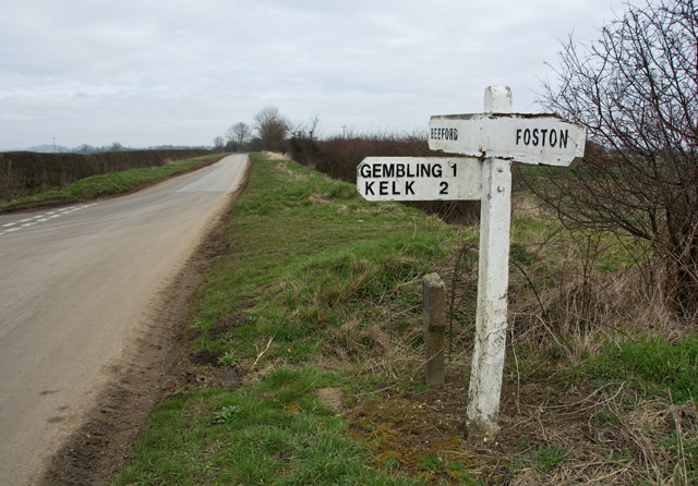
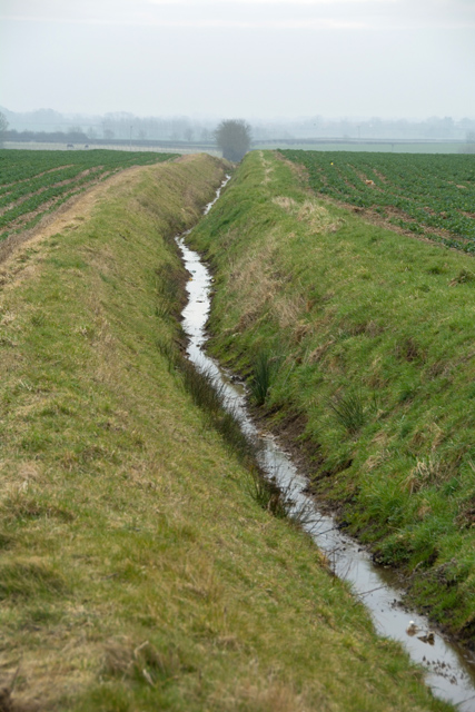
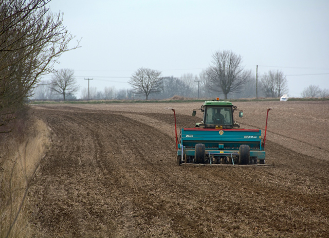
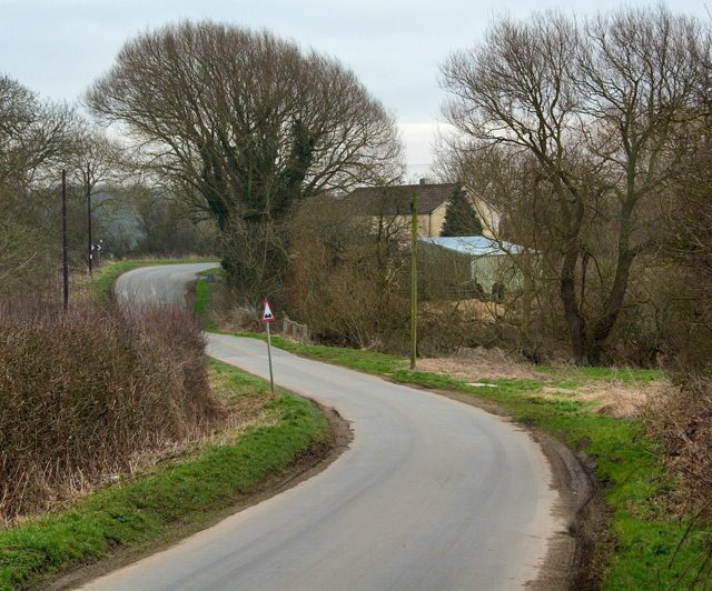
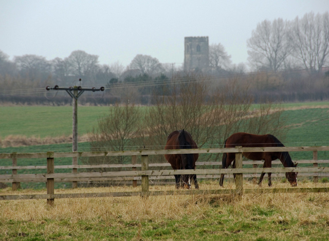
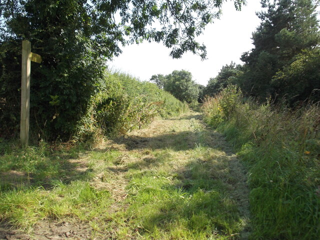
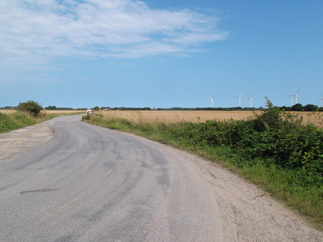
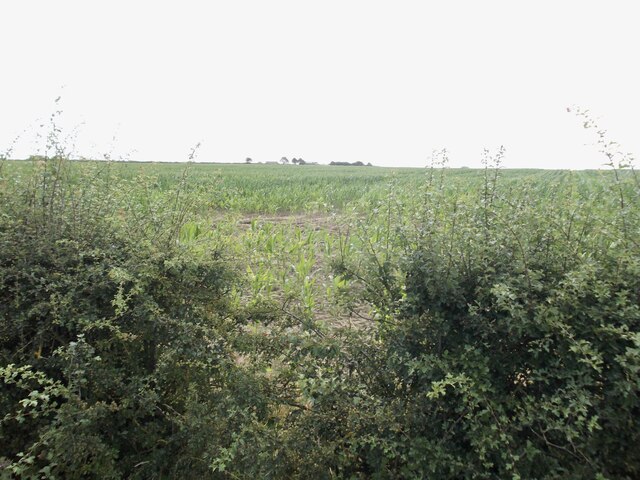
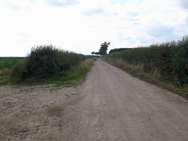
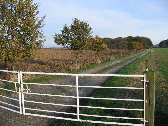
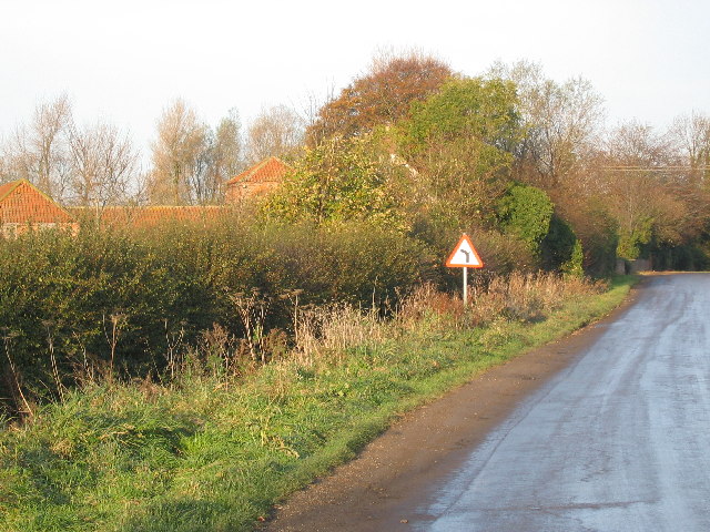
Gembling Images

Images are sourced within 2km of 53.997282/-0.307251 or Grid Reference TA1157. Thanks to Geograph Open Source API. All images are credited.

Lissett Wind Farm
Lissett Wind Farm
Lissett wind farm: aerial Taken from south of Hutton Cranswick
Lissett wind farm: aerial
Taken from south of Hutton Cranswick
St Andrew's Church, Foston on the Wolds The village name is hardly accurate as it straddles a low ridge on the Holderness plain. The church has a 15th century tower and a nave which has several Norman features.
St Andrew's Church, Foston on the Wolds
The village name is hardly accurate as it straddles a low ridge on the Holderness plain. The church has a 15th century tower and a nave which has several Norman features.
St Andrew's Church, Foston on the Wolds With one of the pair of huge trees in the churchyard, seen here from across the main street through the village
St Andrew's Church, Foston on the Wolds
With one of the pair of huge trees in the churchyard, seen here from across the main street through the village
Junction near Foston on the Wolds The sign points left to Long Lane at its junction with Old Howe Lane.
Junction near Foston on the Wolds
The sign points left to Long Lane at its junction with Old Howe Lane.
Land drain near Gembling, E Yorks Close to the junction of Old Howe Lane and Long lane
Land drain near Gembling, E Yorks
Close to the junction of Old Howe Lane and Long lane
Seed drilling near Gembling Tractor operating a seed drill, seen from Old Howe Lane
Seed drilling near Gembling
Tractor operating a seed drill, seen from Old Howe Lane
Old Howe Lane, near Beeford The lane descends here towards the bridge in the distance across the eponymous land drain
Old Howe Lane, near Beeford
The lane descends here towards the bridge in the distance across the eponymous land drain
East of Foston on the Wolds Looking west from Foston Lane, with the tower of St Andrew's Church at Foston in the distance.
East of Foston on the Wolds
Looking west from Foston Lane, with the tower of St Andrew's Church at Foston in the distance.
A well kept bridleway, Great Kelk
The end of the tarmac road at Southlands I wondered why this dead end farm road was so well finished until I realised it is an access to the wind farm
The end of the tarmac road at Southlands
I wondered why this dead end farm road was so well finished until I realised it is an access to the wind farm
The  Chestnut  Horse  Inn.  Main  Street  Great  Kelk Built in 1793. Grade 2 listed, looks empty and in need of a lot of TLC, referred to on one pub site as Long Term Closed, it is up for sale
The Chestnut Horse Inn. Main Street Great Kelk
Built in 1793. Grade 2 listed, looks empty and in need of a lot of TLC, referred to on one pub site as Long Term Closed, it is up for sale
A view through the hedge from Folly Balk Markham Dale far buildings on the sky line
A view through the hedge from Folly Balk
Markham Dale far buildings on the sky line
Lynesykes Road A wide access to the fields only
Lynesykes Road
A wide access to the fields only
Woodhouse Farm This grid square is all farmland. This view looking NE from the entrance to Woodhouse Farm which sits on the east edge of the square
Woodhouse Farm
This grid square is all farmland. This view looking NE from the entrance to Woodhouse Farm which sits on the east edge of the square
Gembling Lane End Looking north to Gembling. This grid square is all farmland.
Gembling Lane End
Looking north to Gembling. This grid square is all farmland.
Gembling Looking east to the village pond. Gembling is in the SE corner of the grid square with Great Kelk on the north edge of this farming area.
Gembling
Looking east to the village pond. Gembling is in the SE corner of the grid square with Great Kelk on the north edge of this farming area.
Gembling - Park House Farm This is a typical view of the land in this immediate are. The lane seen here heads north to Park House Farm in the adjacent square north. This view taken from the corner of Gembling at TA11185716, bottom SW corner of the square.
Gembling - Park House Farm
This is a typical view of the land in this immediate are. The lane seen here heads north to Park House Farm in the adjacent square north. This view taken from the corner of Gembling at TA11185716, bottom SW corner of the square.
Show me another place!

Gembling is located at Grid Ref: TA1157 (Lat: 53.997282, Lng: -0.307251)

Division: East Riding

Unitary Authority: East Riding of Yorkshire

Police Authority: Humberside

What 3 Words

///unlucky.duties.grabs. Near Beeford, East Yorkshire

Nearby Locations

Gembling Green Gembling

Related Wikis

Gembling

Gembling is a hamlet and former civil parish, now in the parish of Foston, in the East Riding of Yorkshire, England. It is situated approximately 8 miles...

Great Kelk

Great Kelk is a village and former civil parish, now in the parish of Kelk, in the East Riding of Yorkshire, England. It is situated approximately 7.5...

Foston on the Wolds

Foston on the Wolds is a village and civil parish in the East Riding of Yorkshire, England. It is situated approximately 8 miles (13 km) south-west of...

Kelk, East Riding of Yorkshire

Kelk is a civil parish in the East Riding of Yorkshire, England. It is situated 7 miles (11 km) to the south-west of Bridlington town centre and covering...

Nearby Amenities

Located within 500m of 53.997282,-0.307251
Gembling
Place: hamlet
Wikidata: Q5530584
Lat/Long: 53.9972323/-0.3084056
Post Box
Collection Times: Mo-Fr 17:30; Sa 10:30
Post Box Type: wall
Ref: YO25 304
Royal Cypher: EIIR
Royal Cypher Wikidata: Q33102113
Lat/Long: 53.9980137/-0.3085372
Defibrillator
Booth: K6
Covered: booth
Defibrillator Location: in red phone box in Gembling
Disused Amenity: telephone
Emergency: defibrillator
Man Made: telephone_box
Old Phone: +44 1262 488387
Lat/Long: 53.9979879/-0.3085587
The data included in this document is from www.openstreetmap.org. The data is made available under ODbL.

Have you been to Gembling?

Leave your review of Gembling below (or comments, questions and feedback).