Gelston
Settlement in Lincolnshire South Kesteven
England
Gelston

Gelston is a small village located in the county of Lincolnshire, England. Situated approximately 5 miles northeast of Grantham, Gelston is nestled in the heart of the picturesque Vale of Belvoir. With a population of around 300 residents, Gelston exudes a charming and tranquil atmosphere.
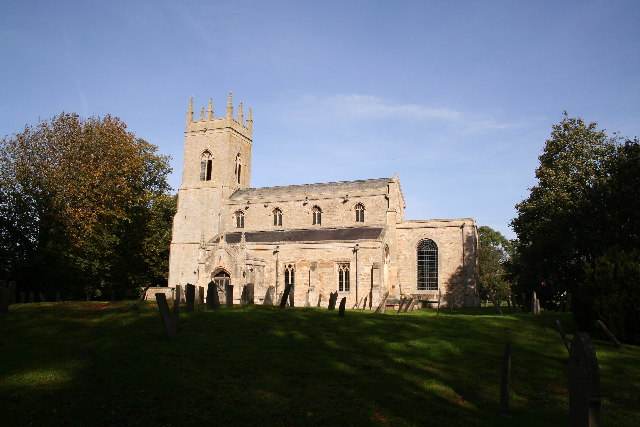
The village is known for its rustic and traditional architecture, with many buildings dating back to the 18th and 19th centuries. The village center features a beautiful parish church dedicated to St. Andrew, which is a prominent landmark in the area. Surrounded by rolling hills and lush green fields, Gelston offers breathtaking views of the countryside.
Despite its small size, Gelston has a strong sense of community. The village boasts several amenities including a village hall, a primary school, and a local pub. The pub, known as the "Gelston Lion," is a popular gathering spot for locals and visitors alike, offering a range of traditional pub fare and a cozy atmosphere.
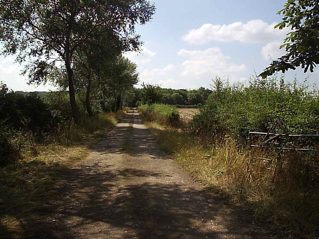
The surrounding area offers opportunities for outdoor enthusiasts, with various walking and cycling routes that showcase the natural beauty of the region. Additionally, Gelston is conveniently located near several larger towns and cities, including Grantham and Newark-on-Trent, providing residents with access to a wider range of amenities and services.
Overall, Gelston is a charming and idyllic village that offers a peaceful retreat from the hustle and bustle of city life. Its rural beauty, close-knit community, and convenient location make it an attractive place to live or visit for those seeking a slower-paced, countryside experience.
If you have any feedback on the listing, please let us know in the comments section below.
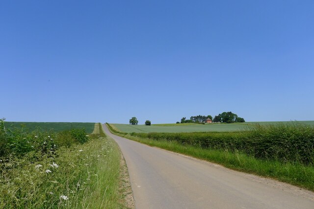
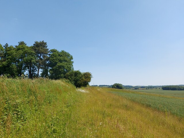
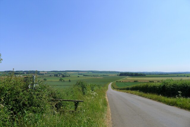
Gelston Images
Images are sourced within 2km of 52.997664/-0.639572 or Grid Reference SK9145. Thanks to Geograph Open Source API. All images are credited.


Gelston is located at Grid Ref: SK9145 (Lat: 52.997664, Lng: -0.639572)
Division: Parts of Kesteven
Administrative County: Lincolnshire
District: South Kesteven
Police Authority: Lincolnshire
What 3 Words
///topmost.bride.bluff. Near Caythorpe, Lincolnshire
Nearby Locations
Related Wikis

Gelston, Lincolnshire
Gelston is a village in the South Kesteven district of Lincolnshire, England. It is 2 miles (3 km) west from the A607 road, 5 miles (8 km) north from Grantham...
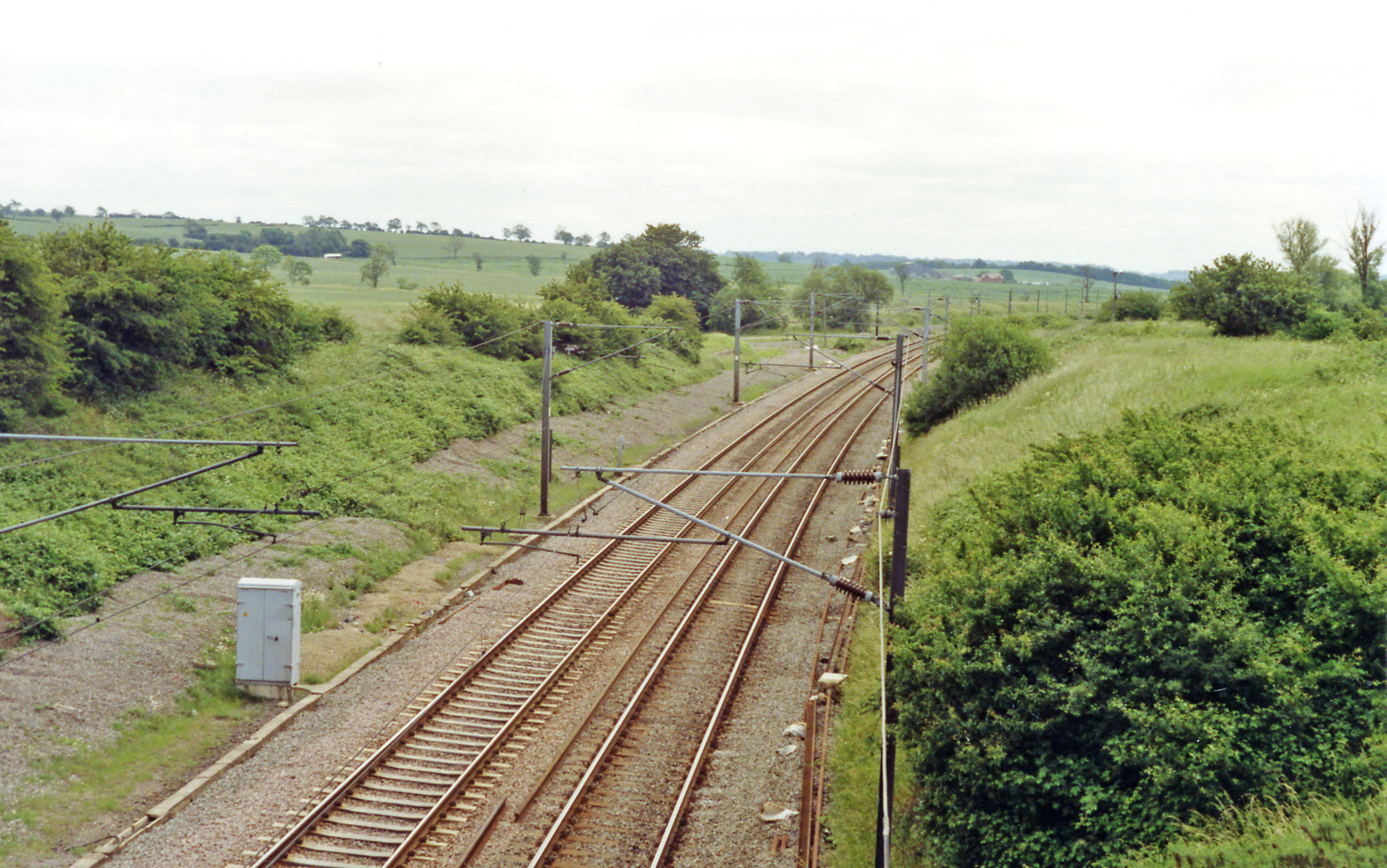
Hougham railway station
Hougham railway station is a former railway station in Hougham, Lincolnshire. The station was about a mile east of the village of Hougham itself and was...

Hough-on-the-Hill
Hough-on-the-Hill is a village and civil parish in the South Kesteven district of Lincolnshire, England. The population of the civil parish including Brandon...

Brandon, Lincolnshire
Brandon is a small village in South Kesteven, south Lincolnshire, England, part of the civil parish of Hough-on-the-Hill (where the population is listed...

Marston, Lincolnshire
Marston is a village and civil parish in the South Kesteven district of Lincolnshire, England. The population of the civil parish at the 2011 census was...
Hougham, Lincolnshire
Hougham () is a village and civil parish in the South Kesteven district of Lincolnshire, England, 6 miles (10 km) north from Grantham. The village of Marston...

Honington railway station
Honington railway station was a station in the village of Honington, Lincolnshire. It was located on junction with the line Grantham and Lincoln railway...

Frieston
Frieston is a village in the South Kesteven district of Lincolnshire, England. It is situated just west of the A607 road, and 7 miles (11 km) north from...
Nearby Amenities
Located within 500m of 52.997664,-0.639572Have you been to Gelston?
Leave your review of Gelston below (or comments, questions and feedback).