Loch Sùrstabhat
Lake, Pool, Pond, Freshwater Marsh in Ross-shire
Scotland
Loch Sùrstabhat

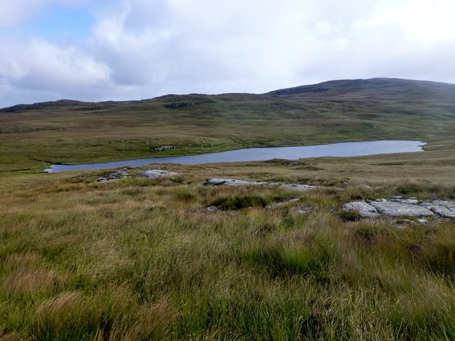
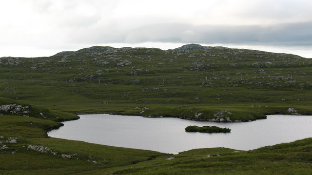
Loch Sùrstabhat, located in Ross-shire, Scotland, is a picturesque freshwater loch nestled amidst the breathtaking Scottish Highlands. With its tranquil surroundings and stunning natural beauty, it attracts locals and tourists alike who seek solace and connection with nature.
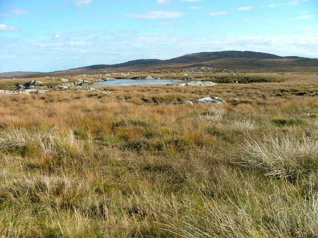
Covering an area of approximately 1.5 square kilometers, Loch Sùrstabhat is surrounded by rolling hills and verdant landscapes, providing a serene and idyllic setting. The loch itself is relatively shallow, with an average depth of around 4 meters, making it an ideal habitat for various aquatic species.
The waters of Loch Sùrstabhat are known for their clarity and purity, owing to the absence of major industrial activity in the vicinity. This pristine environment supports a diverse range of aquatic life, including several fish species such as brown trout, salmon, and pike. Anglers frequent the loch to enjoy fishing in its abundant waters.
Around the shoreline of Loch Sùrstabhat, you can find an array of plant life, including reeds, rushes, and various types of water lilies. These aquatic plants provide crucial habitats for numerous birds and insects, further enhancing the ecological significance of this freshwater marsh.
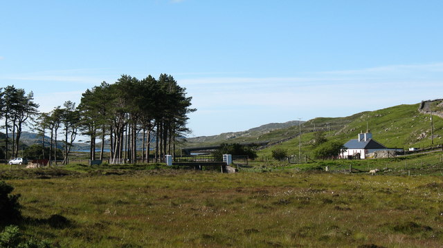
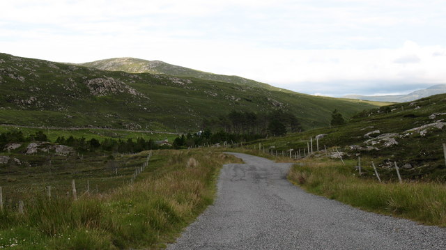
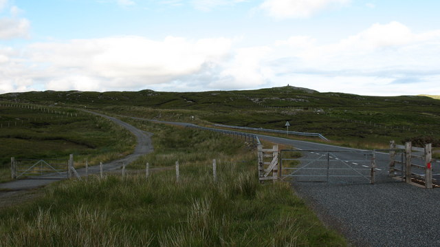
The tranquil atmosphere and breathtaking natural surroundings make Loch Sùrstabhat a popular destination for outdoor enthusiasts. Visitors can indulge in activities such as boating, kayaking, and birdwatching. The loch is also surrounded by scenic walking trails, offering stunning panoramic views of the surrounding landscape.
In summary, Loch Sùrstabhat is a serene and picturesque freshwater loch, offering a haven of natural beauty and tranquility. Its diverse wildlife, crystal-clear waters, and stunning surroundings make it a must-visit destination for those seeking an authentic Scottish Highland experience.
If you have any feedback on the listing, please let us know in the comments section below.
Loch Sùrstabhat Images
Images are sourced within 2km of 58.124843/-6.8444868 or Grid Reference NB1425. Thanks to Geograph Open Source API. All images are credited.
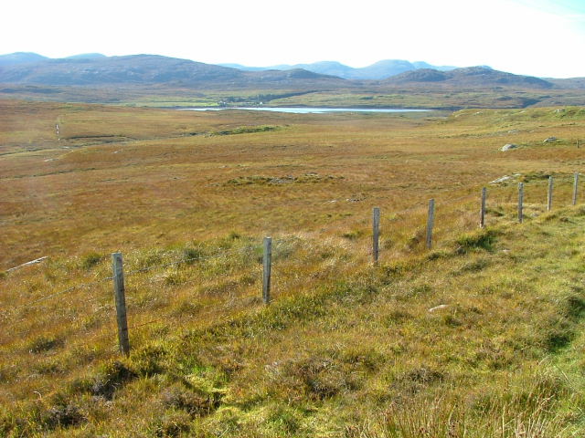
![Caultrashal Beag [Coltraiseal Beag] First HuMP of four today with Michael Earnshaw, Jim Bloomer and Martin Richardson in mixed weather.
Name: Caultrashal Beag [Coltraiseal Beag]
Hill number: 4941
Height: 226m / 741ft
Area: 24A: Lewis and Nearby Islands
Class: Hu,2
Grid ref: NB149241 (est)
Drop: 108m
Col: 118m NB161233](https://s1.geograph.org.uk/geophotos/03/69/32/3693277_9b2650d0.jpg)

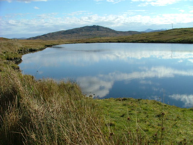
![Heading For Loch Ruah Descending from Coltraiseal Beag heading for Loch Ruadh and then Ben Mohal [Beinn Mothal].](https://s1.geograph.org.uk/geophotos/03/69/47/3694781_172fbdd9.jpg)


Loch Sùrstabhat is located at Grid Ref: NB1425 (Lat: 58.124843, Lng: -6.8444868)
Unitary Authority: Na h-Eileanan an Iar
Police Authority: Highlands and Islands
What 3 Words
///hydrant.branching.cubic. Near Carloway, Na h-Eileanan Siar
Nearby Locations
Related Wikis

Gisla Hydro-Electric Scheme
Gisla Hydro-Electric Scheme was a small scheme promoted by the North of Scotland Hydro-Electric Board on the Isle of Lewis, Outer Hebrides, Scotland. It...

Eilean Mòr, Loch Langavat
Eilean Mòr is an island in Loch Langavat on the Isle of Lewis in the Outer Hebrides of Scotland. == Footnotes ==

Fuaigh Beag
Fuaigh Beag or Vuia Be(a)g is an island in the Outer Hebrides. It is off the west coast of Lewis near Great Bernera in Loch Roag. Its name means "little...
Loch Ròg
Loch Ròg or Loch Roag is a large sea loch on the west coast of Lewis, Outer Hebrides. It is broadly divided into East Loch Roag and West Loch Roag with...
Nearby Amenities
Located within 500m of 58.124843,-6.8444868Have you been to Loch Sùrstabhat?
Leave your review of Loch Sùrstabhat below (or comments, questions and feedback).