Loch Druim nan Caorach
Lake, Pool, Pond, Freshwater Marsh in Ross-shire
Scotland
Loch Druim nan Caorach
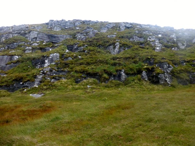
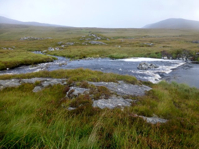
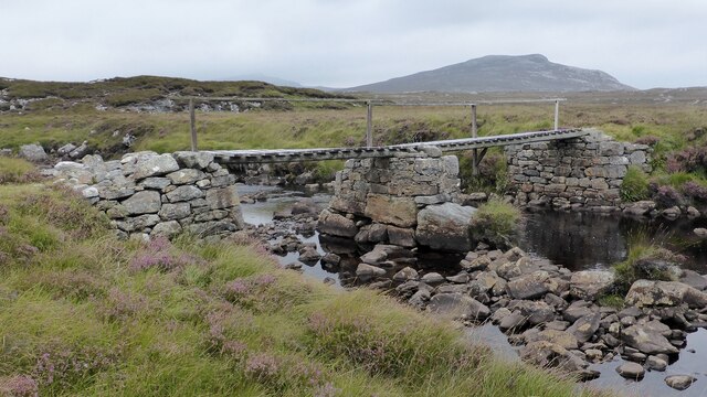
![Caultrashal Mor [Coltraiseal Mòr] Caultrashal Mor [Coltraiseal Mòr] summit cairn looking towards Caultrashal Beag [Coltraiseal Beag]. Third of four HuMPs today with Michael Earnshaw, Jim Bloomer and Martin Richardson in mixed weather.
Name: Caultrashal Mor [Coltraiseal Mòr]
Hill number: 1581
Height: 228m / 748ft
Area: 24A: Lewis and Nearby Islands
Class: Ma,2
Grid ref: NB 15875 22787
Summit feature: cairn
Drop: 162m
Col: 66m NB162258](https://s1.geograph.org.uk/geophotos/03/69/37/3693777_beb9a4d3.jpg)
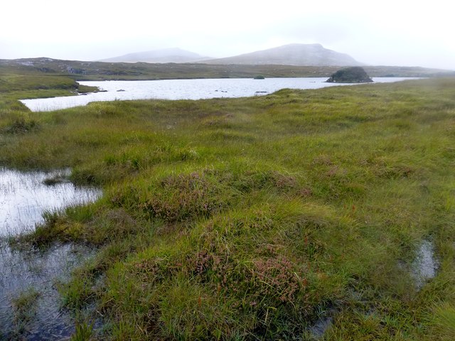
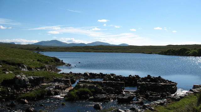
Loch Druim nan Caorach is a freshwater loch located in Ross-shire, Scotland. Situated amidst the picturesque Highland landscape, it is renowned for its tranquility and natural beauty. The loch is relatively small, covering an area of approximately 1 square kilometer.
Surrounded by rolling hills and dense vegetation, Loch Druim nan Caorach offers a diverse range of habitats, including marshland and wet meadows. These wetland areas are home to a variety of plant species, such as reeds and water lilies, providing a haven for numerous bird and animal species.
The loch itself is relatively shallow, with an average depth of around 3 meters. Its crystal-clear waters support a healthy population of fish, including trout and pike, making it a popular destination for anglers. Fishing permits are available for visitors who wish to try their luck in catching these elusive creatures.
For nature enthusiasts, Loch Druim nan Caorach offers excellent opportunities for birdwatching. The surrounding marshes attract a wide range of bird species, including ducks, swans, and herons. Bird hides are strategically positioned along the loch, allowing visitors to observe these feathered inhabitants without disturbing their natural habitat.
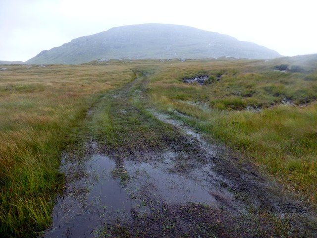
Access to Loch Druim nan Caorach is relatively easy, with a car park and footpath located nearby. The loch is a popular spot for hikers and nature lovers who wish to explore the surrounding countryside. Its tranquil setting and stunning views make it an ideal location for picnics and relaxation.
In conclusion, Loch Druim nan Caorach is a small yet charming freshwater loch in Ross-shire, Scotland. With its diverse habitats, abundant wildlife, and scenic surroundings, it is a must-visit destination for those seeking a peaceful retreat in the heart of the Scottish Highlands.
If you have any feedback on the listing, please let us know in the comments section below.
Loch Druim nan Caorach Images
Images are sourced within 2km of 58.09278/-6.8504411 or Grid Reference NB1421. Thanks to Geograph Open Source API. All images are credited.
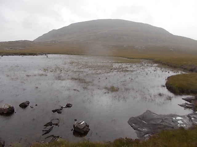
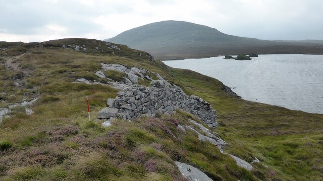
![View Towards Loch Ruadh Meadhanach A view towards Loch Ruadh Meadhanach from the lower slopes of Caultrashal Mor [Coltraiseal Mòr].](https://s3.geograph.org.uk/geophotos/03/69/37/3693795_acc940a3.jpg)

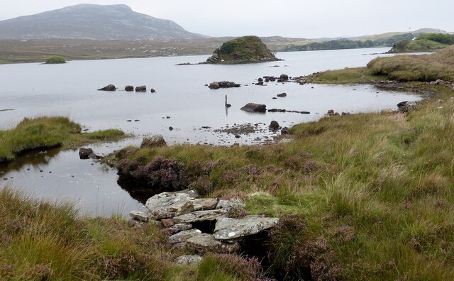
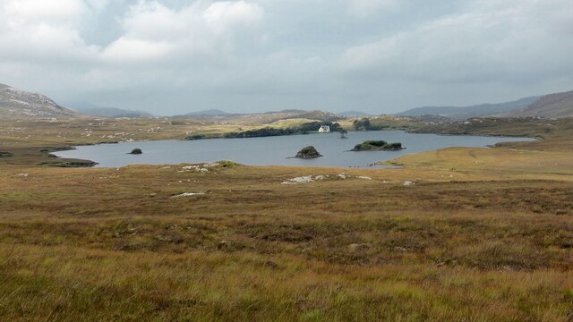
![Scalaval [Scalabhal] [Sgalabhal] Fourth HuMP of four today with Michael Earnshaw, Jim Bloomer and Martin Richardson in mixed weather.
Name: Scalaval [Scalabhal] [Sgalabhal]
Hill number: 4938
Height: 260m / 853ft
Area: 24A: Lewis and Nearby Islands
Class: Hu,2
Grid ref: NB 14257 19826
Summit feature: trig point: OS measurement
Drop: 122m
Col: 138m NB132175](https://s1.geograph.org.uk/geophotos/03/69/38/3693801_2cb73434.jpg)

Loch Druim nan Caorach is located at Grid Ref: NB1421 (Lat: 58.09278, Lng: -6.8504411)
Unitary Authority: Na h-Eileanan an Iar
Police Authority: Highlands and Islands
What 3 Words
///complain.approvals.grab. Near Carloway, Na h-Eileanan Siar
Nearby Locations
Related Wikis

Gisla Hydro-Electric Scheme
Gisla Hydro-Electric Scheme was a small scheme promoted by the North of Scotland Hydro-Electric Board on the Isle of Lewis, Outer Hebrides, Scotland. It...

Eilean Mòr, Loch Langavat
Eilean Mòr is an island in Loch Langavat on the Isle of Lewis in the Outer Hebrides of Scotland. == Footnotes ==
Nearby Amenities
Located within 500m of 58.09278,-6.8504411Have you been to Loch Druim nan Caorach?
Leave your review of Loch Druim nan Caorach below (or comments, questions and feedback).