Loch na Cairt

Lake, Pool, Pond, Freshwater Marsh in Ross-shire

Scotland

Loch na Cairt

Sheepfold at Riof
Sheepfold at Riof Credit: Sandy Gerrard

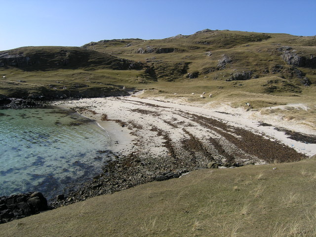
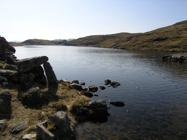
Loch na Cairt is a small freshwater loch located in Ross-shire, Scotland. Situated amidst the picturesque Scottish Highlands, it is a popular destination for nature enthusiasts and those seeking tranquility in a serene environment. The loch covers an area of approximately 5 acres and is surrounded by lush greenery, adding to its natural beauty.

The water in Loch na Cairt is crystal clear and is fed by several small streams that flow into it from the surrounding hills. The loch is relatively shallow, with an average depth of around 3 meters, making it an ideal habitat for a variety of aquatic plants and animals.

The tranquil waters of Loch na Cairt are home to a diverse range of freshwater fish species, including brown trout and perch. Anglers often visit the loch to try their luck at catching these fish. In addition to fishing, the loch also provides opportunities for boating and kayaking.

Surrounding the loch is a freshwater marsh, which serves as a haven for numerous bird species. Visitors can often spot ducks, swans, and other waterfowl swimming or nesting in the marsh. The surrounding vegetation is rich and varied, with reeds and rushes providing a habitat for small mammals and amphibians.

Loch na Cairt is a place of natural beauty and tranquility, offering visitors a chance to immerse themselves in the peacefulness of the Scottish countryside. Whether it's fishing, boating, birdwatching, or simply enjoying the scenic surroundings, Loch na Cairt is a hidden gem waiting to be explored.

If you have any feedback on the listing, please let us know in the comments section below.

Loch na Cairt Images

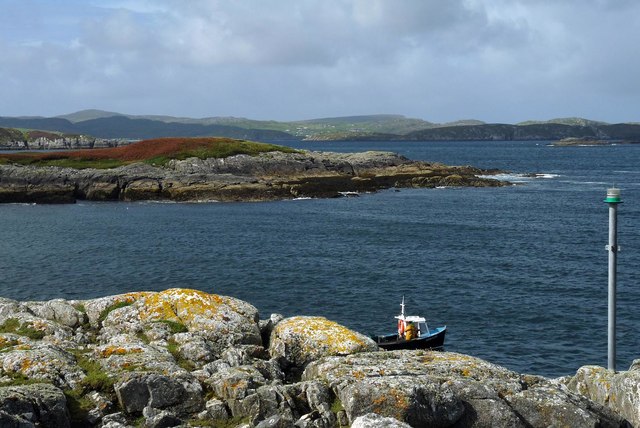
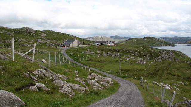
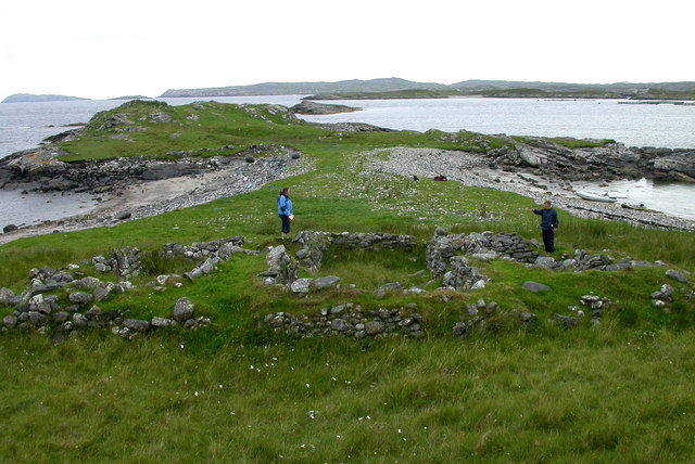
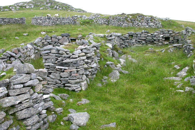
Images are sourced within 2km of 58.212769/-6.8929627 or Grid Reference NB1235. Thanks to Geograph Open Source API. All images are credited.

Sheepfold at Riof
Sheepfold at Riof
Norse Mill on burn leading from Loch Lionais The mill is very ruinous and survives as a spread of rubble overlying the lower courses of the building.  The leat serving the mill is represented by the bright green stripe.
Norse Mill on burn leading from Loch Lionais
The mill is very ruinous and survives as a spread of rubble overlying the lower courses of the building. The leat serving the mill is represented by the bright green stripe.
Norse Mill on burn leading from Loch Lionais The lower mill is rather better preserved with the tail race opening still intact.
Norse Mill on burn leading from Loch Lionais
The lower mill is rather better preserved with the tail race opening still intact.
A rocky buttress contains Tràigh na Beirigh
Morning RIB Commute Seatrek worker on morning commute to work at Miabhaig on a RIB. Photo taken from the MV Lochlann.
Morning RIB Commute
Seatrek worker on morning commute to work at Miabhaig on a RIB. Photo taken from the MV Lochlann.
Coastline, Rubha Domhain, Great Bernera Looking towards the island of Eunaigh Mòr.  The part of the island shown in the photo also lies within the grid square.
Coastline, Rubha Domhain, Great Bernera
Looking towards the island of Eunaigh Mòr. The part of the island shown in the photo also lies within the grid square.
Tràigh na Beirigh from the east
Tràigh Teinish
Tràigh Teinish
Cove by Rubha Sheotharaid It is a surprise that this feature is unnamed on the 1:25,000 map.
Cove by Rubha Sheotharaid
It is a surprise that this feature is unnamed on the 1:25,000 map.
End of the road at Riof. The road finishes at the two houses, although there is a pleasant walk onwards around the coast to Traigh na Beirigh.
End of the road at Riof.
The road finishes at the two houses, although there is a pleasant walk onwards around the coast to Traigh na Beirigh.
Vuia Mhor in Loch Roag On the island of Vuia Mhor, looking at ruined croft houses between the two beaches.  On the point beyond is a ruined kiln.  The island was cleared of its inhabitants in 1841 and is now only used for grazing sheep.
Vuia Mhor in Loch Roag
On the island of Vuia Mhor, looking at ruined croft houses between the two beaches. On the point beyond is a ruined kiln. The island was cleared of its inhabitants in 1841 and is now only used for grazing sheep.
Ruined croft houses on Vuia Mhor The remains of houses and sheep fanks on the deserted island of Vuia Mhor in Loch Roag
Ruined croft houses on Vuia Mhor
The remains of houses and sheep fanks on the deserted island of Vuia Mhor in Loch Roag
Traigh Theinis Known locally as the Shell Beach.
Traigh Theinis
Known locally as the Shell Beach.
Loch Lionais
Loch Lionais
Mill at Lionais Remains of a horizontal mill on the burn draining Loch Lionais in Reef.
Mill at Lionais
Remains of a horizontal mill on the burn draining Loch Lionais in Reef.
Dunes at Traigh na Berie
Show me another place!

Loch na Cairt is located at Grid Ref: NB1235 (Lat: 58.212769, Lng: -6.8929627)

Unitary Authority: Na h-Eileanan an Iar

Police Authority: Highlands and Islands

What 3 Words

///fingernails.normal.flippers. Near Carloway, Na h-Eileanan Siar

Related Wikis

Fuaigh Mòr

Fuaigh Mòr (sometimes anglicised as Vuia Mor) is an island in the Outer Hebrides of Scotland. It is off the west coast of Lewis near Great Bernera in...

Loch Ròg

Loch Ròg or Loch Roag is a large sea loch on the west coast of Lewis, Outer Hebrides. It is broadly divided into East Loch Roag and West Loch Roag with...

Fuaigh Beag

Fuaigh Beag or Vuia Be(a)g is an island in the Outer Hebrides. It is off the west coast of Lewis near Great Bernera in Loch Roag. Its name means "little...

Vacsay

Vacsay (Scottish Gaelic: Bhacsaigh from Old Norse "bakkiey" meaning "peat bank island") is one of the Outer Hebrides. It is off the west coast of Lewis...

Have you been to Loch na Cairt?

Leave your review of Loch na Cairt below (or comments, questions and feedback).