Loch Glumradh Beag

Lake, Pool, Pond, Freshwater Marsh in Inverness-shire

Scotland

Loch Glumradh Beag

Rocky landscape Much of the Harris landscape consists of exposed bedrock. This view is over a minor road from Aird Mhighe towards the main road, the A859.
Rocky landscape Credit: Richard Dorrell

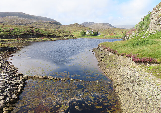
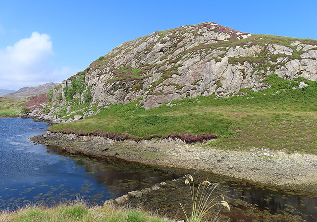
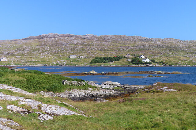
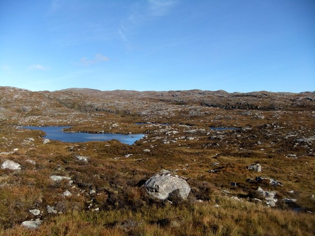
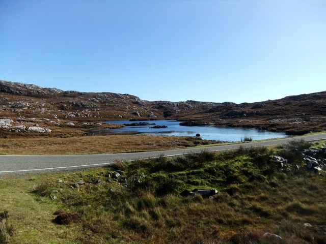
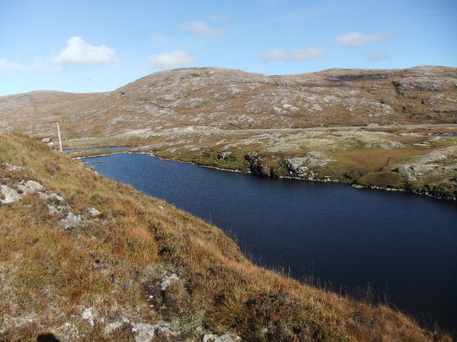
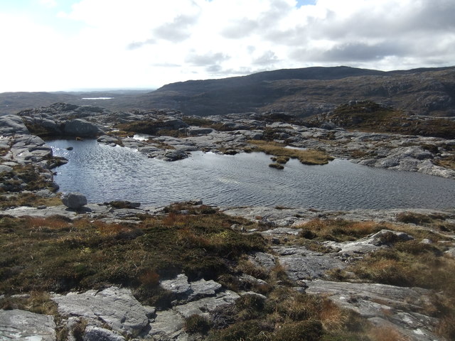
Loch Glumradh Beag is a picturesque freshwater loch located in Inverness-shire, Scotland. Nestled amidst the stunning Highland landscape, it offers a serene and tranquil setting for nature enthusiasts and visitors seeking a peaceful escape. The loch covers an area of approximately 20 acres, making it a relatively small body of water compared to some of the larger lochs in the region.

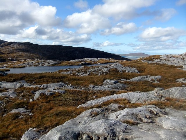
Surrounded by rolling hills and dense woodlands, Loch Glumradh Beag is known for its crystal-clear waters, which reflect the breathtaking scenery that surrounds it. The loch is home to a diverse range of flora and fauna, making it an ideal habitat for various wildlife species. Visitors can often spot an array of water birds, including ducks, swans, and herons, as well as occasional sightings of otters and deer along the shoreline.

The loch also features a small freshwater marsh, which provides an important ecosystem for wetland plants and animals. The marsh area is characterized by its waterlogged soil and abundant vegetation, including reeds, sedges, and water lilies. This area is particularly popular among birdwatchers, who can observe a variety of bird species that make their homes in the marsh.

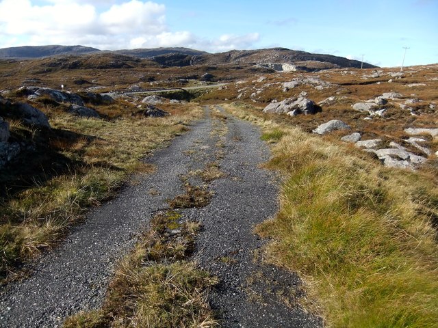
For those looking to explore the loch, there are several walking trails that meander along its shoreline, offering panoramic views of the surrounding landscape. Fishing is also a popular activity, with the loch known for its healthy population of brown trout.

Overall, Loch Glumradh Beag offers a peaceful and scenic retreat for nature lovers, providing a haven for wildlife and a place of tranquility for visitors to enjoy.

If you have any feedback on the listing, please let us know in the comments section below.

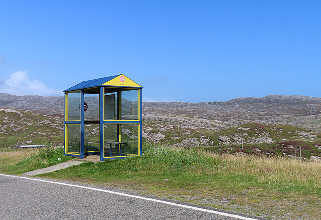
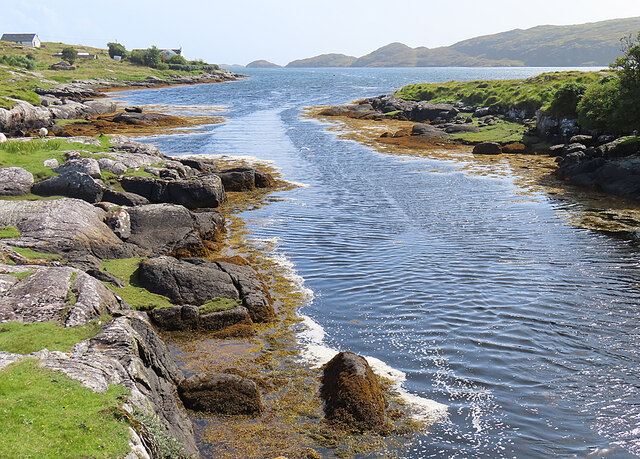
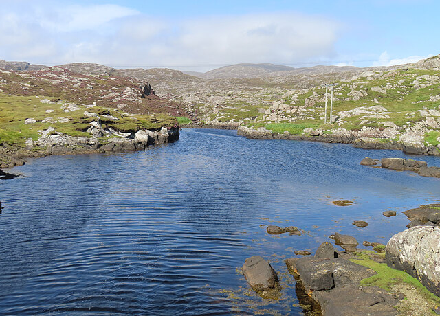
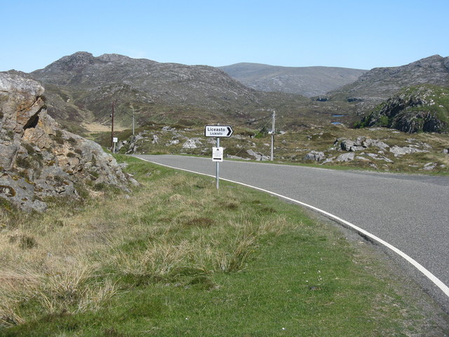
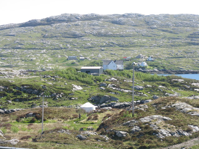
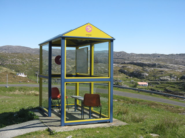
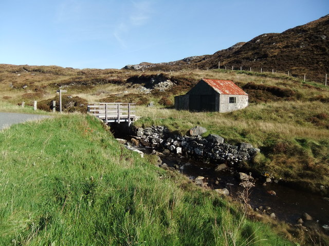
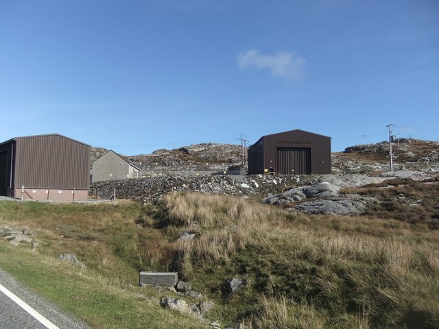
Loch Glumradh Beag Images

Images are sourced within 2km of 57.838108/-6.8468207 or Grid Reference NG1293. Thanks to Geograph Open Source API. All images are credited.

Rocky landscape Much of the Harris landscape consists of exposed bedrock. This view is over a minor road from Aird Mhighe towards the main road, the A859.
Rocky landscape
Much of the Harris landscape consists of exposed bedrock. This view is over a minor road from Aird Mhighe towards the main road, the A859.
Bus Shelter The bus shelter is above the turning to Liceasto. I was pleasantly surprised to find a timetable suggesting that there are six buses a day from Roghadal via here to Tarbert.
Bus Shelter
The bus shelter is above the turning to Liceasto. I was pleasantly surprised to find a timetable suggesting that there are six buses a day from Roghadal via here to Tarbert.
Ceann a' Bhàigh Mhòr The name means 'head of the big bay'; the 'big bay' seems to be Loch Stockinish.
Ceann a' Bhàigh Mhòr
The name means 'head of the big bay'; the 'big bay' seems to be Loch Stockinish.
Ceann a' Bhàigh Mhòr The sea-loch in the foreground is the 'head of the big bay' but the rock face appears not to have a name of its own.
Ceann a' Bhàigh Mhòr
The sea-loch in the foreground is the 'head of the big bay' but the rock face appears not to have a name of its own.
Leac a' Li across Ob Liath Leac a' Li or Lackalee is on the shore of Loch Stockinish, and the head of the loch is Ob Liath, the 'grey bay'.
Leac a' Li across Ob Liath
Leac a' Li or Lackalee is on the shore of Loch Stockinish, and the head of the loch is Ob Liath, the 'grey bay'.
Unnamed Inlet The map suggests that this inlet dries at low tide. It opens into Ob Liath, and then into Loch Stocanais.
Unnamed Inlet
The map suggests that this inlet dries at low tide. It opens into Ob Liath, and then into Loch Stocanais.
Landlocked Inlet This inlet of the sea near Àird Mhìghe is almost completely landlocked.
Landlocked Inlet
This inlet of the sea near Àird Mhìghe is almost completely landlocked.
The road to Liceasto/Lickisto One of several turnings off into the rocky landscape of the Golden Road area of Harris.
The road to Liceasto/Lickisto
One of several turnings off into the rocky landscape of the Golden Road area of Harris.
Lickisto and Ãird Mhìghe With a tent of Lickisto Blackhouse Camping in the dip in the foreground.
Lickisto and Ãird Mhìghe
With a tent of Lickisto Blackhouse Camping in the dip in the foreground.
Bus stop at Liceasto/Lickisto With facilities.
Bus stop at Liceasto/Lickisto
With facilities.
At Ceann a' Bhaigh
At Ceann a' Bhaigh
Loch Glumradh Mor
Loch Glumradh Mor
Loch Airigh Iain Oig
Electricity sub-station
The old road
The old road
Loch na Creige Glaise
Lochan on Stoicleit an Ear
Lochan by the summit of Stoicleit an Ear
Show me another place!

Loch Glumradh Beag is located at Grid Ref: NG1293 (Lat: 57.838108, Lng: -6.8468207)

Unitary Authority: Na h-Eileanan an Iar

Police Authority: Highlands and Islands

What 3 Words

///comment.skippers.typically. Near Tarbert, Na h-Eileanan Siar

Related Wikis

Stockinish Island

Stockinish Island (Scottish Gaelic: Eilean Stocainis) is an uninhabited island off Harris, in the Outer Hebrides. == Geography and geology == Stockinish...

East Loch Tarbert

East Loch Tarbert (Scottish Gaelic: Loch an Tairbeairt) is a sea loch that lies to the east of Harris in the Outer Hebrides of Scotland. The loch contains...

Harris distillery

Harris distillery is a Scotch whisky and Gin distillery in Tarbert on the Isle of Harris, Scotland. The distillery was the first legal distillery ever...

Tarbert, Harris

Tarbert (Scottish Gaelic: An Tairbeart [ən̪ˠ ˈt̪ɛrʲɛbərˠʃt̪]) is the main community on Harris in the Western Isles of Scotland. The name means "isthmus...

Nearby Amenities

Located within 500m of 57.838108,-6.8468207
Source: visual survey;estimate
Tourism: picnic_site
Lat/Long: 57.8346392/-6.8433855
Power: pole
Lat/Long: 57.834736/-6.8419189
Power: pole
Lat/Long: 57.8341857/-6.8434457
Power: pole
Lat/Long: 57.8354233/-6.8403107
Material: wood
Power: pole
Lat/Long: 57.8350356/-6.8411997
Material: wood
Power: pole
Lat/Long: 57.8344318/-6.8425921
Power: pole
Lat/Long: 57.8339754/-6.8441148
The data included in this document is from www.openstreetmap.org. The data is made available under ODbL.

Have you been to Loch Glumradh Beag?

Leave your review of Loch Glumradh Beag below (or comments, questions and feedback).