Loch Rossamul
Lake, Pool, Pond, Freshwater Marsh in Ross-shire
Scotland
Loch Rossamul

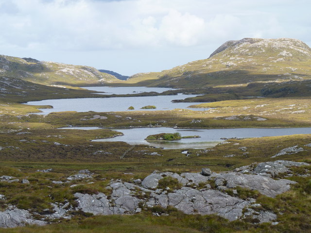
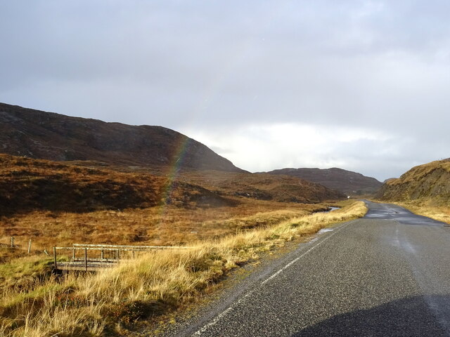
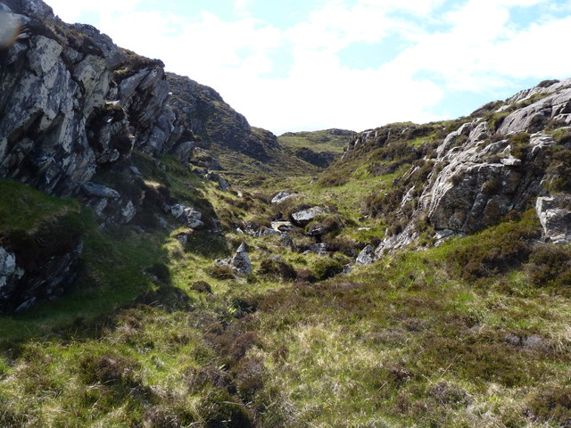
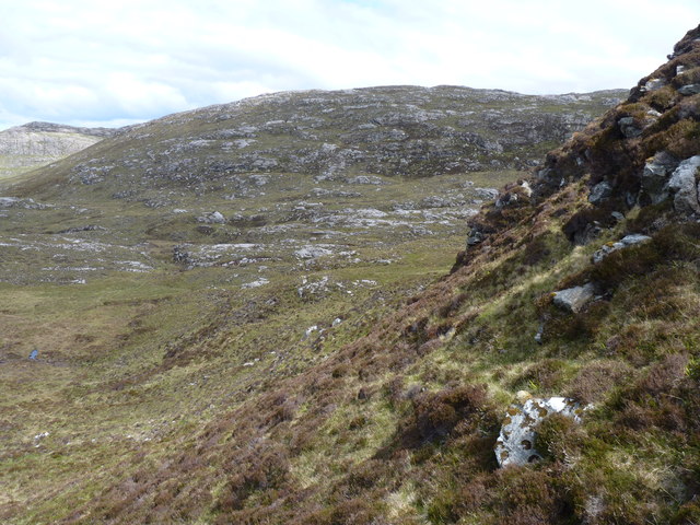
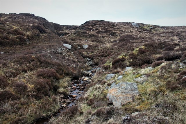
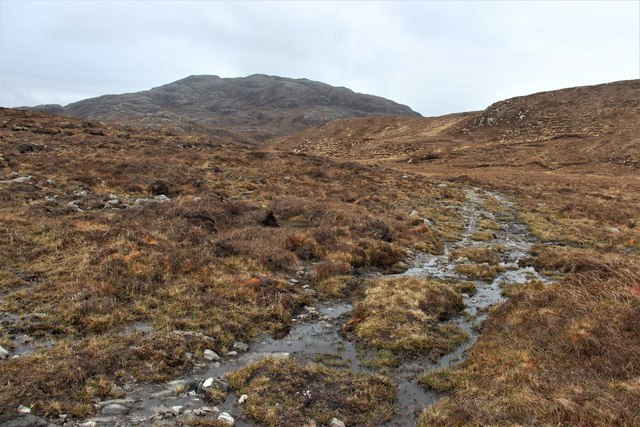
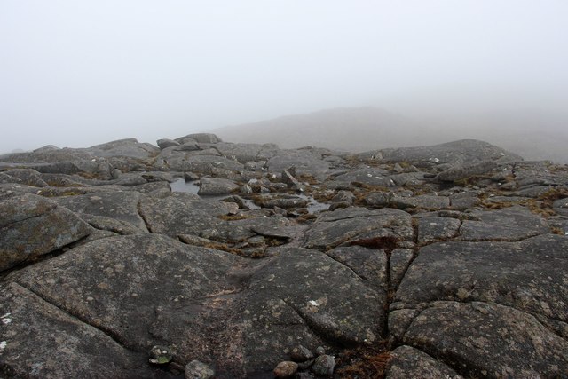
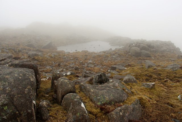
Loch Rossamul is a picturesque freshwater loch located in Ross-shire, Scotland. Situated amidst the stunning Highland landscape, the loch is surrounded by rolling hills and dense forestry, making it a popular destination for nature enthusiasts and outdoor adventurers.
The loch covers an area of approximately 50 acres and has a maximum depth of 20 meters. Its waters are known for their clarity and are home to a variety of freshwater fish, including brown trout and perch. The surrounding marshes provide habitat for a diverse range of bird species, making Loch Rossamul a prime spot for birdwatching.
Visitors to Loch Rossamul can enjoy activities such as fishing, boating, and hiking along the scenic trails that wind around the shoreline. The tranquil setting of the loch also makes it a perfect spot for picnicking and relaxing in nature.
Overall, Loch Rossamul is a hidden gem in the Scottish Highlands, offering a peaceful retreat for those looking to immerse themselves in the beauty of the natural world.
If you have any feedback on the listing, please let us know in the comments section below.
Loch Rossamul Images
Images are sourced within 2km of 58.174362/-6.9475099 or Grid Reference NB0931. Thanks to Geograph Open Source API. All images are credited.


![Suaineabhal Summit Climbed with Dagnis Dancitis, Glen and Otis Laws on a sunny Saturday afternoon. Walked over the rocks by the weir then followed a bit of a path towards the summit passing Anne, Eric, Campbell and Mat on the way.
Name: Suaineabhal [Suainaval]
Hill number: 1567
Height: 428m / 1404ft
Section: 24A: Lewis and Nearby Islands
County/UA: Na h-Eileanan Siar [Western Isles] (UA)
Island: Lewis and Harris
Class: Marilyn, HuMP, Tump (400-499m)
Grid ref: NB 07797 30878
Summit feature: rock 20m SE of cairn
Drop: 313m
Col: 115m NB085260](https://s3.geograph.org.uk/geophotos/04/18/39/4183999_7cdbdfc4.jpg)
Loch Rossamul is located at Grid Ref: NB0931 (Lat: 58.174362, Lng: -6.9475099)
Unitary Authority: Na h-Eileanan an Iar
Police Authority: Highlands and Islands
What 3 Words
///depended.crumple.plausible. Near Carloway, Na h-Eileanan Siar
Nearby Locations
Related Wikis

Flodaigh, Lewis
Flodaigh is a small island in Loch Roag on the west coast of Lewis in the Outer Hebrides of Scotland. It is about 33 hectares (82 acres) in extent and...
Fuaigh Beag
Fuaigh Beag or Vuia Be(a)g is an island in the Outer Hebrides. It is off the west coast of Lewis near Great Bernera in Loch Roag. Its name means "little...

Loch na Berie
Loch Na Berie is a broch in the Outer Hebrides of Scotland, located approximately 400 yards from the shore, and is thought to have been located on an island...
Loch Ròg
Loch Ròg or Loch Roag is a large sea loch on the west coast of Lewis, Outer Hebrides. It is broadly divided into East Loch Roag and West Loch Roag with...
Nearby Amenities
Located within 500m of 58.174362,-6.9475099Have you been to Loch Rossamul?
Leave your review of Loch Rossamul below (or comments, questions and feedback).