Loch Cnuimheag

Lake, Pool, Pond, Freshwater Marsh in Ross-shire

Scotland

Loch Cnuimheag

B8011 at Leathad Mòr
B8011 at Leathad Mòr Credit: Sandy Gerrard

Loch Cnuimheag is a small freshwater loch located in Ross-shire, Scotland. It is situated in a remote and picturesque area surrounded by rolling hills and lush greenery. The name "Cnuimheag" is of Gaelic origin and translates to "little hill," which is fitting given the landscape of the area.

The loch itself is relatively shallow and covers an area of approximately 10 acres. It is home to a variety of freshwater fish species, including trout and perch, making it a popular spot for anglers. The surrounding marshland provides a habitat for a diverse range of bird species, making it a haven for birdwatchers and nature enthusiasts.

Despite its small size, Loch Cnuimheag is a tranquil and peaceful spot, perfect for those looking to escape the hustle and bustle of everyday life. Visitors can enjoy leisurely walks around the loch, take in the stunning views, and perhaps even catch a glimpse of some of the local wildlife.

Overall, Loch Cnuimheag is a hidden gem in the Scottish Highlands, offering a serene and natural setting for visitors to enjoy.

If you have any feedback on the listing, please let us know in the comments section below.

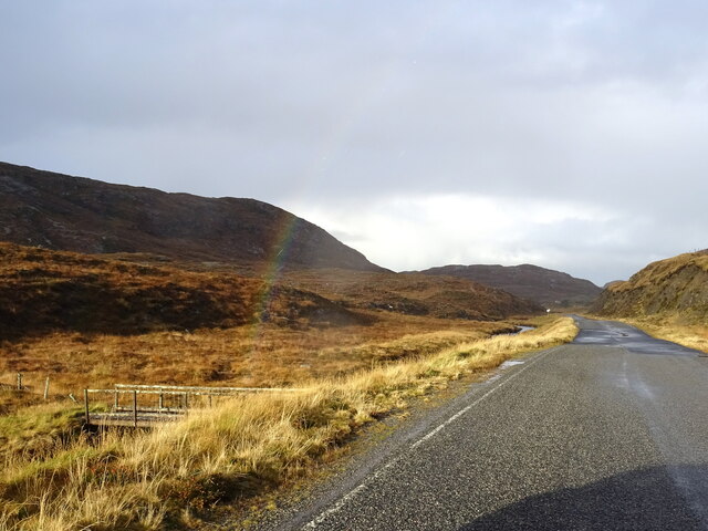
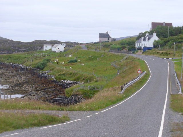
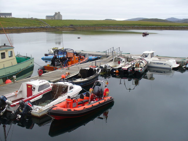
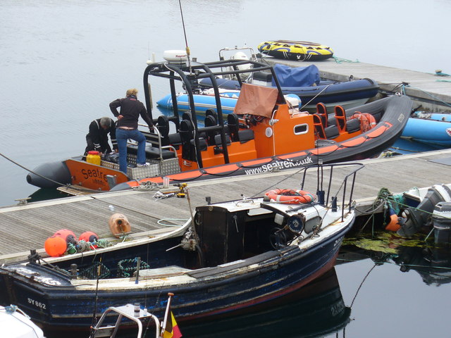
Loch Cnuimheag Images

Images are sourced within 2km of 58.184235/-6.9494811 or Grid Reference NB0932. Thanks to Geograph Open Source API. All images are credited.

B8011 at Leathad Mòr
Derelict house on slope of Beinn a' Ghlinne Ruaidh
Cerishader: postbox № HS2 158 A small postbox on the B8011, with its back to Loch Ròg. It is emptied at 9 o'clock each morning, except Sunday.
Cerishader: postbox № HS2 158
A small postbox on the B8011, with its back to Loch Ròg. It is emptied at 9 o'clock each morning, except Sunday.
Carishader postbox The sea inlet is part of Loch Ròg.
Carishader postbox
The sea inlet is part of Loch Ròg.
Old black house walls, Cairisiadar Looking up An Gleann Ruadh.
Old black house walls, Cairisiadar
Looking up An Gleann Ruadh.
Abhainn Mhòr a' Ghlinne Ruaidh
Bridge over the Abhainn Mhor a' Ghlinne Ruaidh
A hint of a rainbow by Abhainn Mhòr a Ghlinne Ruaidh Just cross the footbridge and you are at the end of the rainbow (now where's my shovel!).
A hint of a rainbow by Abhainn Mhòr a Ghlinne Ruaidh
Just cross the footbridge and you are at the end of the rainbow (now where's my shovel!).
Name That Tune This cheerful accordionist stands just inside a field by the cattle grid on the B8011 north of Cairisiadar. The label at his feet reads 'Name That Tune'.
Name That Tune
This cheerful accordionist stands just inside a field by the cattle grid on the B8011 north of Cairisiadar. The label at his feet reads 'Name That Tune'.
Cairisiadar (Carishader) Though the B8011 has been much improved, there are still some single-track stretches, notably where it crosses narrow bridges which have not been rebuilt, as here at Cairisiadar.
Cairisiadar (Carishader)
Though the B8011 has been much improved, there are still some single-track stretches, notably where it crosses narrow bridges which have not been rebuilt, as here at Cairisiadar.
Miabhaig harbour pontoon View from RIB afloat to pontoon at Miabhaig, Ceann A Tuath Na Hearadh (North Harris).  Compare to <a href="https://www.geograph.org.uk/photo/575251">NB0934 : Miabhaig Jetty</a> taken by Dave Fergusson on 1 Oct 2007.
Miabhaig harbour pontoon
View from RIB afloat to pontoon at Miabhaig, Ceann A Tuath Na Hearadh (North Harris). Compare to NB0934 : Miabhaig Jetty taken by Dave Fergusson on 1 Oct 2007.
If you are ever up this way... RIB moored alongside Miabhaig pontoon <a href="https://www.geograph.org.uk/photo/2429707">NB0934 : Miabhaig harbour pontoon</a> on Ceann A Tuath Na Hearadah (North Harris) from which we enjoyed a great trip.  (No financial benefit in anyway to me from posting this; simply a community service.)
If you are ever up this way...
RIB moored alongside Miabhaig pontoon NB0934 : Miabhaig harbour pontoon on Ceann A Tuath Na Hearadah (North Harris) from which we enjoyed a great trip. (No financial benefit in anyway to me from posting this; simply a community service.)
Join the Band Name That Tune and take a seat to have your photograph taken with the band at Carishader / Cairisiadar. Maybe it's Heather and Pete playing the field.
Join the Band
Name That Tune and take a seat to have your photograph taken with the band at Carishader / Cairisiadar. Maybe it's Heather and Pete playing the field.
Sheep Pens at Carishader One of many roadside pens on Lewis where sheep farming is a major agricultural industry.
Sheep Pens at Carishader
One of many roadside pens on Lewis where sheep farming is a major agricultural industry.
Carishader / Cairisiadar Elongated roadside crofting community on the shore of Loch Rog.
Carishader / Cairisiadar
Elongated roadside crofting community on the shore of Loch Rog.
Pontoon at Miabhaig Where Seatrek offer a variety of adventurous seaborne trips around Lewis and Harris as well as to distant St Kilda.
 <span class="nowrap"><a title="http://www.seatrek.co.uk/" rel="nofollow ugc noopener" href="http://www.seatrek.co.uk/">Link</a><img style="margin-left:2px;" alt="External link" title="External link - shift click to open in new window" src="https://s1.geograph.org.uk/img/external.png" width="10" height="10"/></span>
Pontoon at Miabhaig
Where Seatrek offer a variety of adventurous seaborne trips around Lewis and Harris as well as to distant St Kilda. LinkExternal link
Boats at Miabhaig Fishing boat and a more adventurous RIB at Seatrek's jetty on Loch Miabhaig, a sea loch.
<span class="nowrap"><a title="http://www.seatrek.co.uk/" rel="nofollow ugc noopener" href="http://www.seatrek.co.uk/">Link</a><img style="margin-left:2px;" alt="External link" title="External link - shift click to open in new window" src="https://s1.geograph.org.uk/img/external.png" width="10" height="10"/></span>
Boats at Miabhaig
Fishing boat and a more adventurous RIB at Seatrek's jetty on Loch Miabhaig, a sea loch. LinkExternal link
Boats moored to pontoon at Miabhaig
Show me another place!

Loch Cnuimheag is located at Grid Ref: NB0932 (Lat: 58.184235, Lng: -6.9494811)

Unitary Authority: Na h-Eileanan an Iar

Police Authority: Highlands and Islands

What 3 Words

///campus.siesta.pose. Near Carloway, Na h-Eileanan Siar

Nearby Locations

Loch Cnuimheag Loch Dubh

Related Wikis

Flodaigh, Lewis

Flodaigh is a small island in Loch Roag on the west coast of Lewis in the Outer Hebrides of Scotland. It is about 33 hectares (82 acres) in extent and...

Loch na Berie

Loch Na Berie is a broch in the Outer Hebrides of Scotland, located approximately 400 yards from the shore, and is thought to have been located on an island...

Fuaigh Beag

Fuaigh Beag or Vuia Be(a)g is an island in the Outer Hebrides. It is off the west coast of Lewis near Great Bernera in Loch Roag. Its name means "little...

Cliff, Lewis

Cliff (Scottish Gaelic: Cliobh) is a small settlement on the Isle of Lewis, in the Outer Hebrides, Scotland. Cliff is within the parish of Uig. The settlement...

Have you been to Loch Cnuimheag?

Leave your review of Loch Cnuimheag below (or comments, questions and feedback).