Loch na Mòinteich

Lake, Pool, Pond, Freshwater Marsh in Argyllshire

Scotland

Loch na Mòinteich

Post Box at Gott Bay Another bike propped up by the modern post box
Post Box at Gott Bay Credit: Tim Ball

Loch na Mòinteich is a picturesque freshwater loch located in Argyllshire, Scotland. Situated amidst the breathtaking Scottish Highlands, this natural wonder offers a serene and tranquil environment for visitors to enjoy.

Covering an area of approximately 20 acres, the loch is surrounded by lush greenery, providing a beautiful backdrop for nature enthusiasts and photographers. Its crystal-clear waters are home to a diverse range of aquatic life, including various species of fish and waterfowl.

The loch is also known for its abundance of freshwater marshes, which are rich in biodiversity. These marshes provide a habitat for a wide array of plant and animal species, including reeds, rushes, and water lilies. The marshes serve as a vital nesting and breeding ground for numerous bird species, such as ducks, swans, and herons.

The tranquil atmosphere of Loch na Mòinteich makes it an ideal spot for fishing and boating activities. Anglers can try their luck at catching brown trout, which are plentiful in the loch. Fishing permits are available for purchase, allowing visitors to enjoy a peaceful day by the water, surrounded by the stunning Scottish scenery.

For those who prefer a more leisurely experience, the loch offers opportunities for peaceful walks and picnics along its shores. The surrounding area is also home to several walking trails, which allow visitors to explore the nearby woodlands and hills, providing breathtaking views of the loch and its surroundings.

Loch na Mòinteich is truly a hidden gem in Argyllshire, offering visitors a chance to immerse themselves in the natural beauty of the Scottish Highlands. Whether one is seeking a peaceful fishing experience, a leisurely stroll, or simply a moment of tranquility amidst nature, this loch has something to offer for everyone.

If you have any feedback on the listing, please let us know in the comments section below.

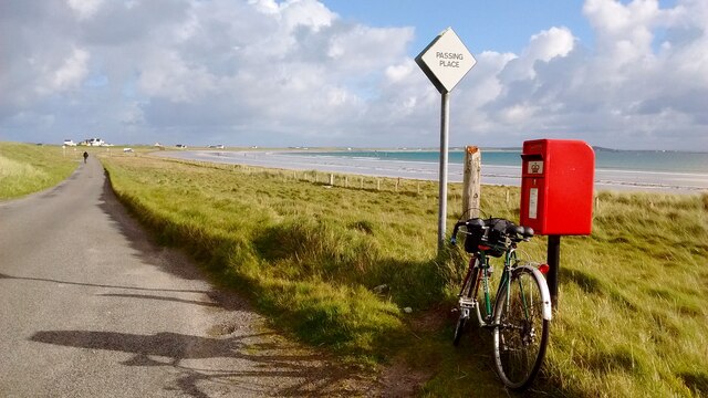
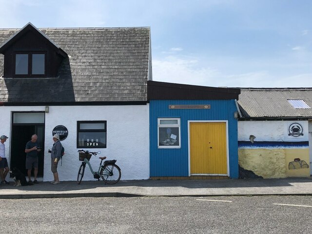
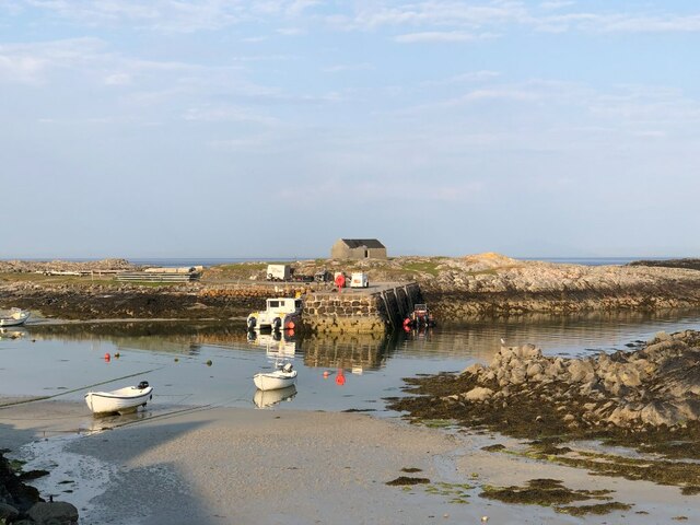
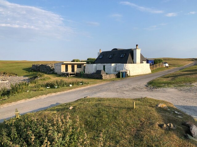
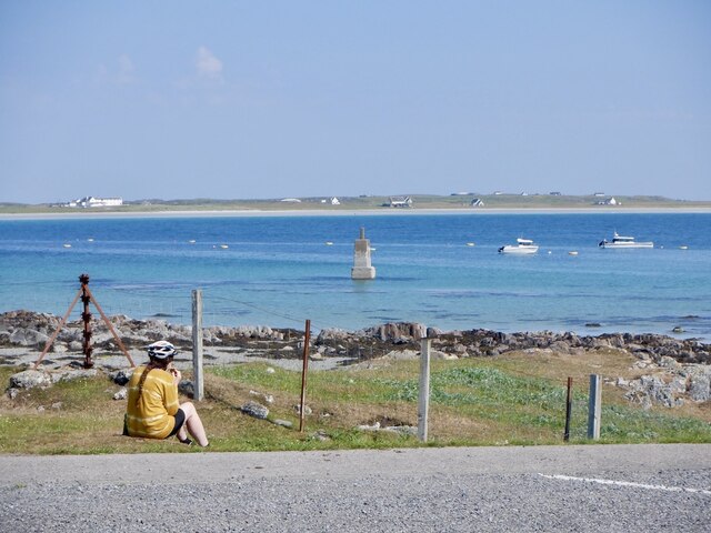
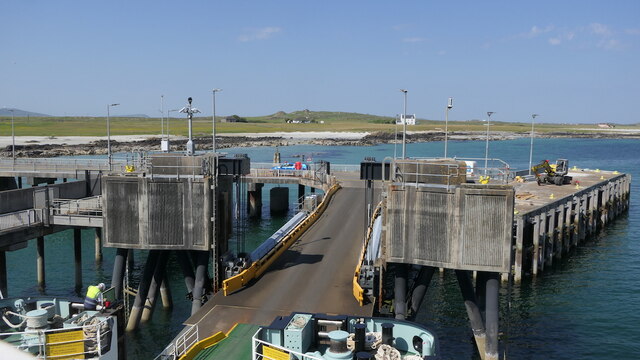
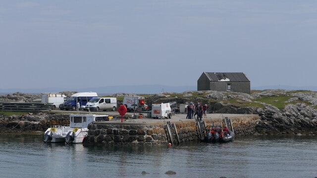
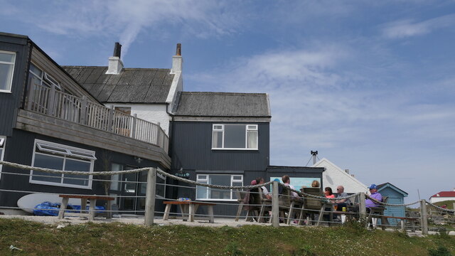
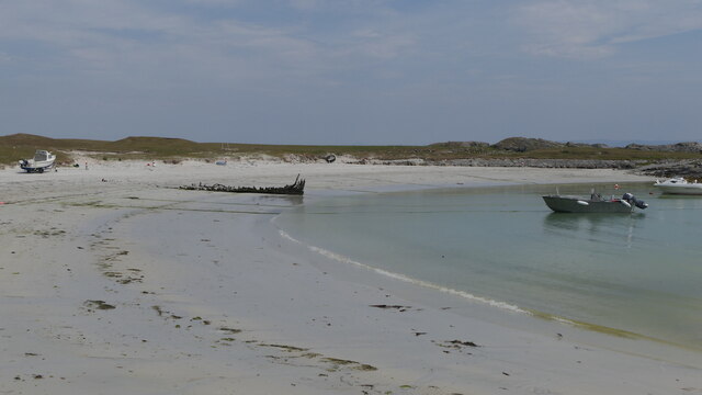
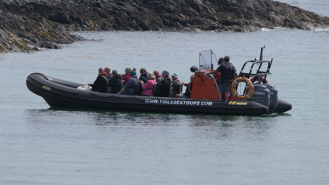
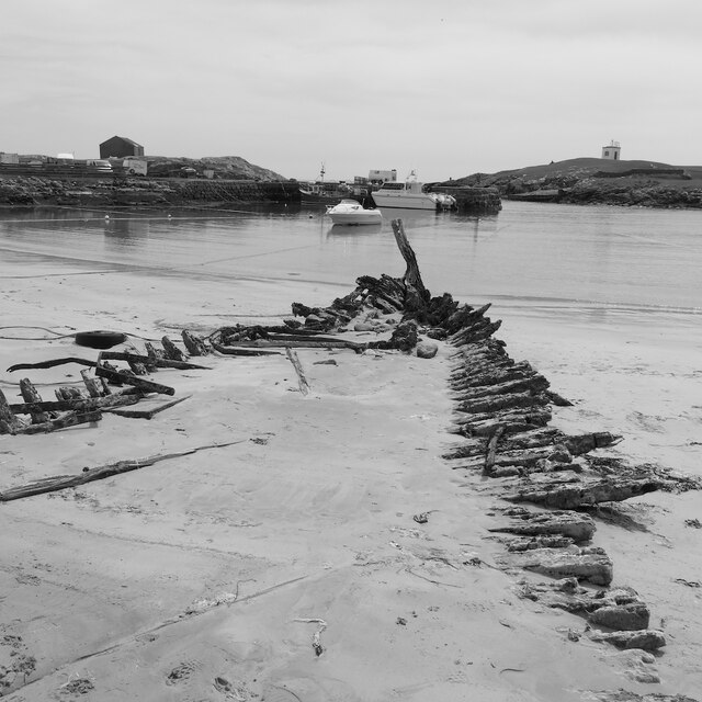
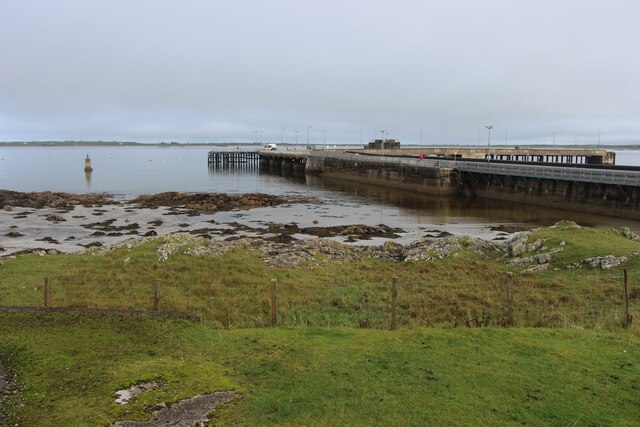
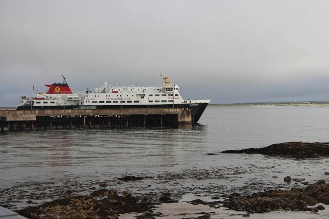
Loch na Mòinteich Images

Images are sourced within 2km of 56.507526/-6.8134816 or Grid Reference NM0345. Thanks to Geograph Open Source API. All images are credited.

Post Box at Gott Bay Another bike propped up by the modern post box
Post Box at Gott Bay
Another bike propped up by the modern post box
Coffee shop, Scarinish
Harbour, Scarinish Near low water (neap).
Harbour, Scarinish
Near low water (neap).
Cottage, Scarinish
Cottage, Scarinish
Car deck, The Clansman A Caledonian MacBrayne ferry during a time of upheaval and service problems for the service. The deck is empty as on a Wednesday the service to Coll and Tiree continues to Barra and many got off at Scarinish and few got on.  I did not have to reverse on, just drove a loop around the deck.
Car deck, The Clansman
A Caledonian MacBrayne ferry during a time of upheaval and service problems for the service. The deck is empty as on a Wednesday the service to Coll and Tiree continues to Barra and many got off at Scarinish and few got on. I did not have to reverse on, just drove a loop around the deck.
Waiting for the ferry, Scarinish
Scarinish pier Better weather than they got for the Music Festival which was cancelled due to wind. At the time this picture was taken Tiree was suffering drought conditions with poor grass growth. Soon afterwards the rains returned .

Taken from the Clansman on the weekly sailing for Barra.
Scarinish pier
Better weather than they got for the Music Festival which was cancelled due to wind. At the time this picture was taken Tiree was suffering drought conditions with poor grass growth. Soon afterwards the rains returned . Taken from the Clansman on the weekly sailing for Barra.
Sgeirean an Ròin Skerries in Gott Bay, Tiree.
Sgeirean an Ròin
Skerries in Gott Bay, Tiree.
Scarinish harbour A tour group is about to depart for the Treshnish islands.
Scarinish harbour
A tour group is about to depart for the Treshnish islands.
Scarinish Hotel
Scarinish Hotel
Beach, Scarinish harbour
Boat tour departing from Scarinish About to head for Lunga.
Boat tour departing from Scarinish
About to head for Lunga.
Mary Stuart wreck, Scarinish A wreck in Scarinish harbour.
Mary Stuart wreck, Scarinish
A wreck in Scarinish harbour.
Arriving ferry, Scarinish
Gott Bay The skerries that I was visiting were submerged; Sgeirean an Ròin (shown) however are much more obvious rocks, some visible at high water.
Gott Bay
The skerries that I was visiting were submerged; Sgeirean an Ròin (shown) however are much more obvious rocks, some visible at high water.
An Turas Installation by Scarinish Pier
An Turas
Installation by Scarinish Pier
Scarinish Pier, Tiree
Calmac ferry 'Clansman' at Scarinish Pier
Show me another place!

Loch na Mòinteich is located at Grid Ref: NM0345 (Lat: 56.507526, Lng: -6.8134816)

Unitary Authority: Argyll and Bute

Police Authority: Argyll and West Dunbartonshire

What 3 Words

///issuer.legroom.loose. Near Scarinish, Argyll & Bute

Related Wikis

Scarinish

Scarinish (Scottish Gaelic: Sgairinis [ˈs̪kaɾʲɪnɪʃ]) is the main village on the island of Tiree, in the Inner Hebrides of Scotland. It is located on the...

Tiree

Tiree (; Scottish Gaelic: Tiriodh, pronounced [ˈtʲʰiɾʲəɣ]) is the most westerly island in the Inner Hebrides of Scotland. The low-lying island, southwest...

Tiree Airport

Tiree Airport (Scottish Gaelic: Port-adhair Thiriodh) (IATA: TRE, ICAO: EGPU) is located 2.5 nautical miles (4.6 km; 2.9 mi) north northeast of Balemartine...

Dun Mor Vaul

Dun Mor Vaul (or simply Dun Mor; Scottish Gaelic: Dùn Mòr) is an iron-age broch located on the north coast of the island of Tiree, in Scotland. ��2�...

Nearby Amenities

Located within 500m of 56.507526,-6.8134816
Dùn an t-Sìthein
Archaeological Site: tumulus
Historic: archaeological_site
Source: OS7
Lat/Long: 56.5069471/-6.8208835
Power: pole
Lat/Long: 56.5099116/-6.8071146
Power: pole
Lat/Long: 56.5097533/-6.8085121
Power: pole
Lat/Long: 56.5095964/-6.8098129
Power: pole
Lat/Long: 56.5094765/-6.8109368
Power: pole
Lat/Long: 56.5093492/-6.8120418
Power: pole
Lat/Long: 56.5082969/-6.811669
Power: pole
Lat/Long: 56.5087409/-6.8119855
Power: pole
Lat/Long: 56.5093048/-6.8124039
Power: pole
Lat/Long: 56.5098391/-6.812809
Power: pole
Lat/Long: 56.5104844/-6.8132542
Power: pole
Lat/Long: 56.5083635/-6.8213129
Power: pole
Lat/Long: 56.5088445/-6.8208569
Power: pole
Lat/Long: 56.5092885/-6.8204251
Power: pole
Lat/Long: 56.5103475/-6.8194152
Power: pole
Lat/Long: 56.5108285/-6.8139569
Power: pole
Lat/Long: 56.511274/-6.8148206
Power: pole
Lat/Long: 56.5116824/-6.8156521
Power: pole
Lat/Long: 56.5072383/-6.8062945
Power: pole
Lat/Long: 56.5070769/-6.8074371
Power: pole
Lat/Long: 56.5068705/-6.8088654
Power: pole
Lat/Long: 56.5067846/-6.8094421
Power: pole
Lat/Long: 56.5066359/-6.8104465
Power: pole
Lat/Long: 56.5060364/-6.8100067
Power: pole
Lat/Long: 56.5054251/-6.810122
Power: pole
Lat/Long: 56.5048197/-6.8102507
Power: pole
Lat/Long: 56.5042261/-6.8103527
Power: pole
Lat/Long: 56.5036162/-6.8104841
The data included in this document is from www.openstreetmap.org. The data is made available under ODbL.

Have you been to Loch na Mòinteich?

Leave your review of Loch na Mòinteich below (or comments, questions and feedback).