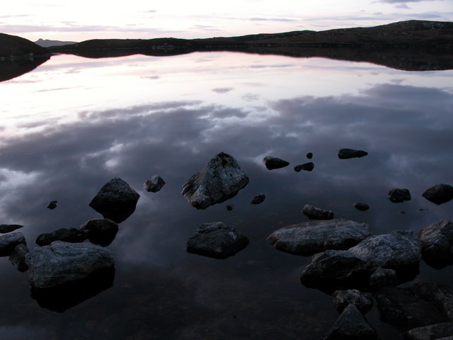
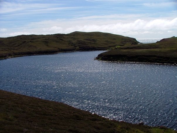
Loch na h-Àirde

Lake, Pool, Pond, Freshwater Marsh in Inverness-shire

Scotland

Loch na h-Àirde

Loch an t-Sagairt at Sunset in February
Loch an t-Sagairt at Sunset in February Credit: glamgirl

The requested URL returned error: 429 Too Many Requests

If you have any feedback on the listing, please let us know in the comments section below.

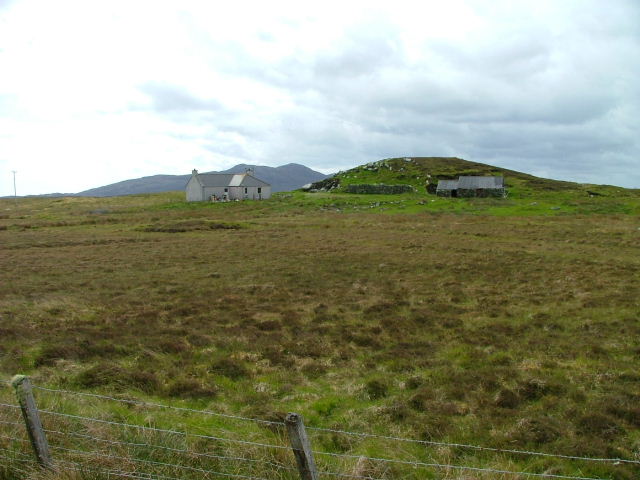
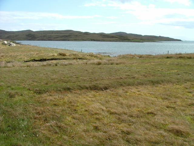
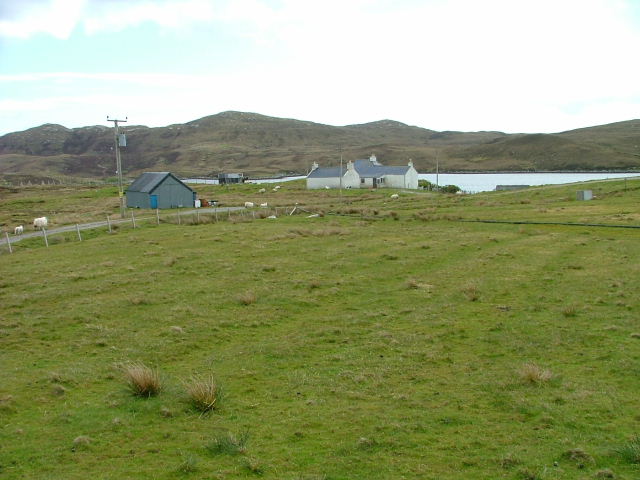
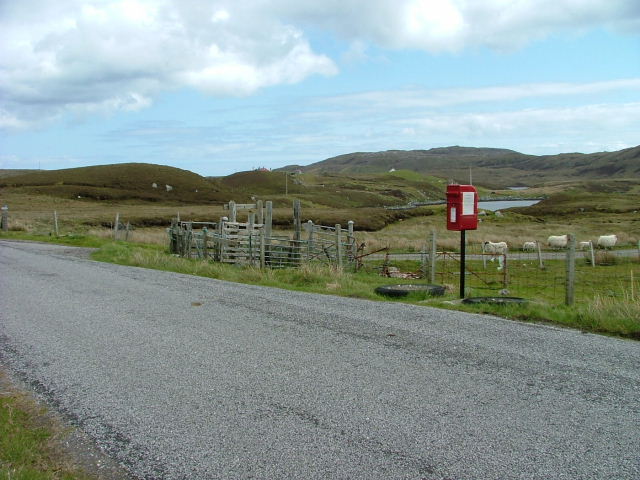
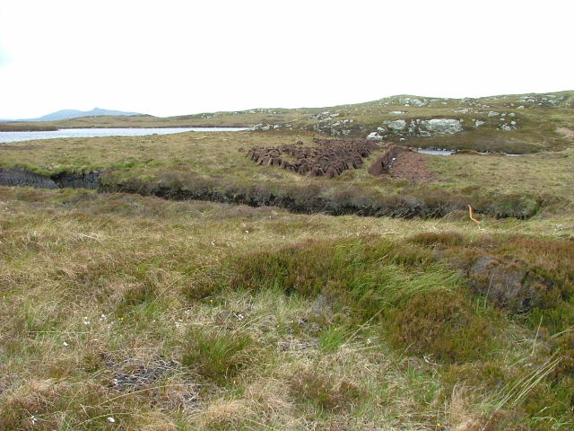
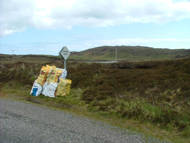
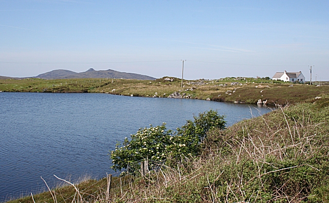
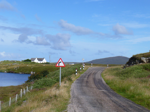
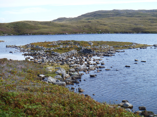
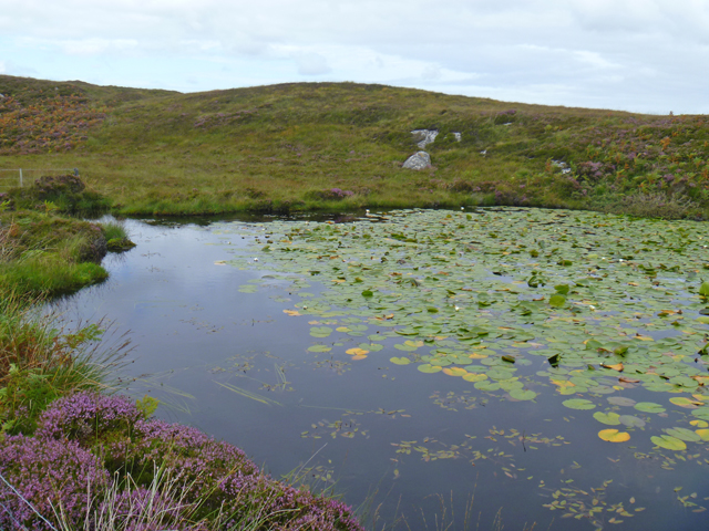
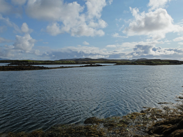
Loch na h-Àirde Images

Images are sourced within 2km of 57.62434/-7.1230341 or Grid Reference NF9470. Thanks to Geograph Open Source API. All images are credited.

Loch an t-Sagairt at Sunset in February
Croft at Greanacleit By the Lochportain road.
Croft at Greanacleit
By the Lochportain road.
Loch Portain Looking towards Rubha nan Gall.
Loch Portain
Looking towards Rubha nan Gall.
Croft in Lochportain Overlooking the loch of the same name.
Croft in Lochportain
Overlooking the loch of the same name.
Postbox and Sheep In Lochportain.
Postbox and Sheep
In Lochportain.
Cut Peat Laid out to dry before bagging.
Cut Peat
Laid out to dry before bagging.
Bagged Peat Awaiting uplift.
Bagged Peat
Awaiting uplift.
"Lighthouse Loch" North Uist
Peat Cuttings by Loch an t-Sagairt The peats cut from this bank have been neatly stacked to dry in the traditional five-peat pyramids.
Peat Cuttings by Loch an t-Sagairt
The peats cut from this bank have been neatly stacked to dry in the traditional five-peat pyramids.
Greanacleit Elder flowers are a fairly unusual sight here; these are on the shore of an unnamed lochan at Greanacleit. The distinctive shape of Crògearraidh Mòr is in the distance.
Greanacleit
Elder flowers are a fairly unusual sight here; these are on the shore of an unnamed lochan at Greanacleit. The distinctive shape of Crògearraidh Mòr is in the distance.
Greanacleit
Greanacleit
MacQuarrie House A traditional domestic building on the north shore of Loch Portain.
MacQuarrie House
A traditional domestic building on the north shore of Loch Portain.
Boat and hut By the side of the road in Lochportain.
Boat and hut
By the side of the road in Lochportain.
Loch an t-Sagairt
Loch an t-Sagairt
Telecom ast on Cnoc Mòr an t-Sagairt
The dun in Loch na Caiginn The remains of the dun on a tiny island in Loch na Caiginn are accessible over a stone causeway. The island is ringed by the remains of a wall. The ruin of dun itself is visible as a low, circular wall some 40ft in diameter.
The dun in Loch na Caiginn
The remains of the dun on a tiny island in Loch na Caiginn are accessible over a stone causeway. The island is ringed by the remains of a wall. The ruin of dun itself is visible as a low, circular wall some 40ft in diameter.
Lochan north of Lochportain The western end of an unnamed lochan in the moorland north of the settlement.
Lochan north of Lochportain
The western end of an unnamed lochan in the moorland north of the settlement.
Islands at the mouth of Loch Midhinis Viewed from the coastline north of Sponais.
Islands at the mouth of Loch Midhinis
Viewed from the coastline north of Sponais.
Show me another place!

Loch na h-Àirde is located at Grid Ref: NF9470 (Lat: 57.62434, Lng: -7.1230341)

Unitary Authority: Na h-Eileanan an Iar

Police Authority: Highlands and Islands

What 3 Words

///fade.wove.groomed. Near Lochmaddy, Na h-Eileanan Siar

Related Wikis

Weavers Point

Weavers Point (Scottish Gaelic: Rubha an Fhigheadair) is a headland to the north of the entrance to Loch Maddy, on the north eastern coastline of North...

Ceallasaigh Beag

Ceallasaigh Beag (or Keallasay Beg) is a low-lying island in Loch Maddy off North Uist in the Outer Hebrides of Scotland. This an area of shallow lagoons...

Lochmaddy

Lochmaddy (Scottish Gaelic: Loch nam Madadh [l̪ˠɔx nə ˈmat̪əɣ], "Loch of the Hounds") is the administrative centre of North Uist in the Outer Hebrides...

Taigh Chearsabhagh

Taigh Chearsabhagh is an arts centre and museum in Lochmaddy on the island of North Uist, Scotland.Taigh Chearsabhagh was built in 1741 and originally...

Nearby Amenities

Located within 500m of 57.62434,-7.1230341
Camas Crubaig
Natural: bay
Lat/Long: 57.6225878/-7.1245694
Rubha Raibeart
Natural: cape
Lat/Long: 57.6206459/-7.1237326
The data included in this document is from www.openstreetmap.org. The data is made available under ODbL.

Have you been to Loch na h-Àirde?

Leave your review of Loch na h-Àirde below (or comments, questions and feedback).