Rubha Raibeart

Coastal Feature, Headland, Point in Inverness-shire

Scotland

Rubha Raibeart

Lighthouse on Rubha an Fhigheadair With Madadh Beag in the near distance.
Lighthouse on Rubha an Fhigheadair Credit: M J Richardson

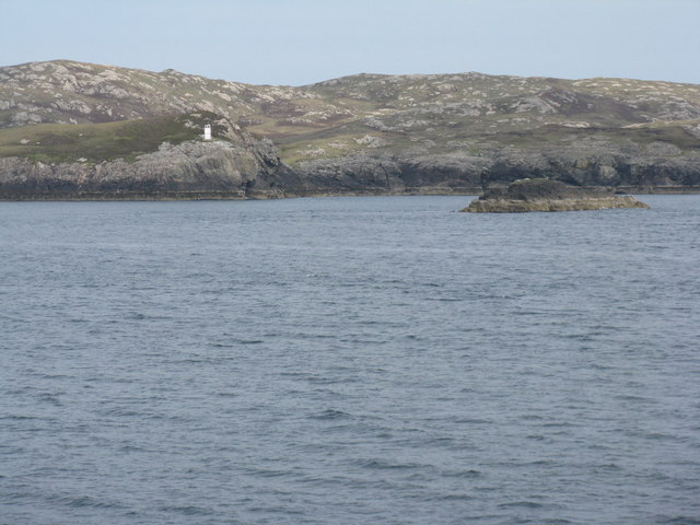
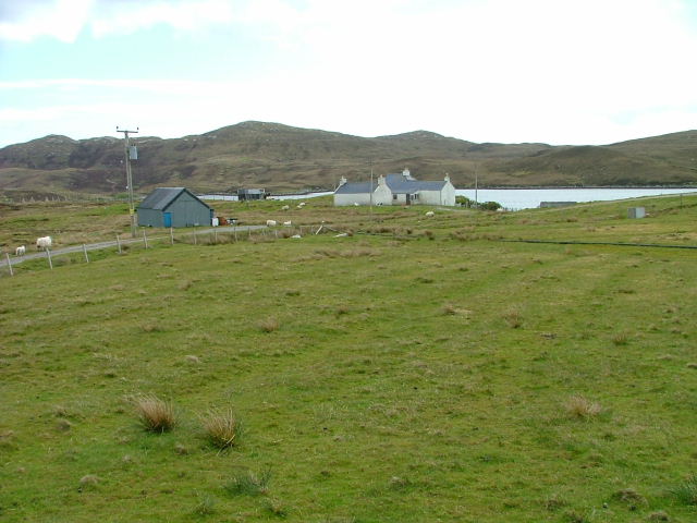
Rubha Raibeart is a prominent coastal feature located in Inverness-shire, Scotland. Situated on the western coast, it is known for its picturesque headland and distinctive point that extends into the North Atlantic Ocean. The name Rubha Raibeart translates to "Robert's Point" in English.

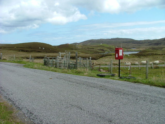
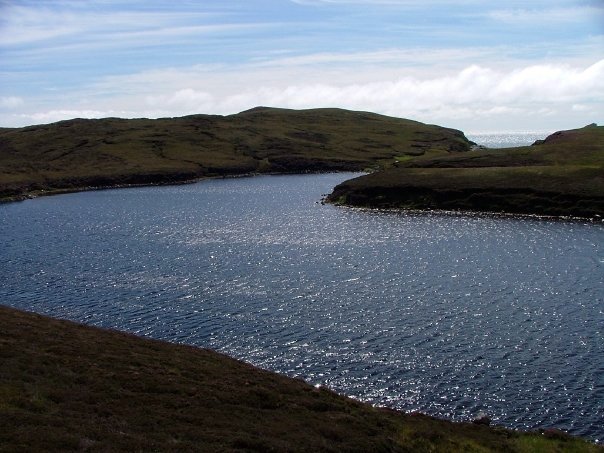
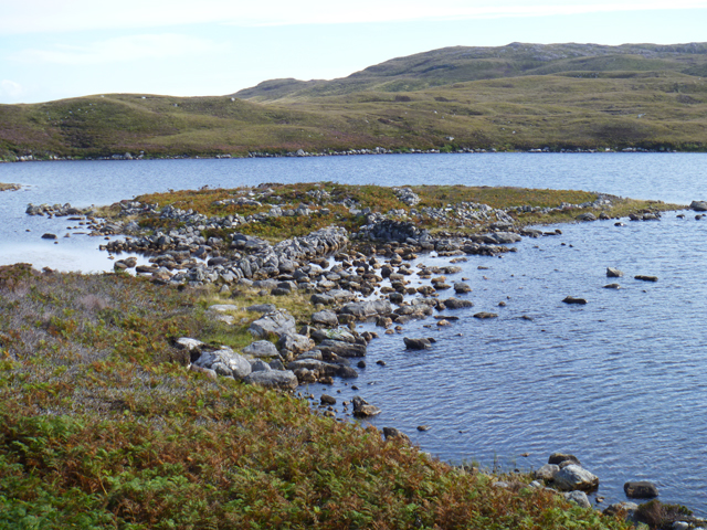
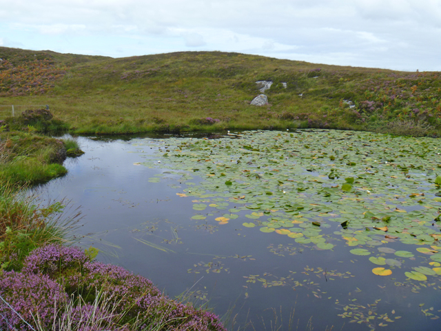
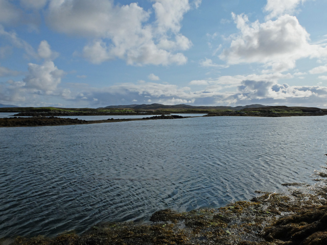
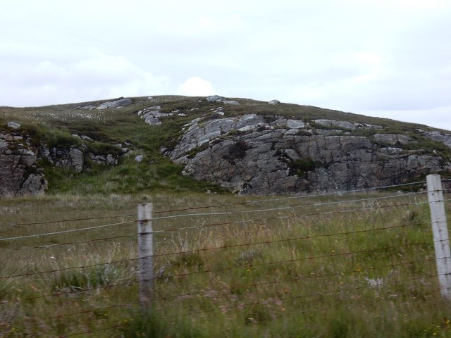
This headland is characterized by its rugged cliffs that rise dramatically from the sea, offering stunning panoramic views of the surrounding landscape. The cliffs, composed mainly of ancient rock formations, are dotted with grassy patches and wildflowers, creating a diverse and colorful habitat for various species of plants and animals.

Rubha Raibeart is also known for its rich historical significance. The headland bears traces of human occupation dating back thousands of years, with ancient ruins and archaeological sites scattered across its terrain. These remnants provide insights into the lives and activities of early inhabitants, and serve as a testament to the area's cultural heritage.

The point itself juts out into the ocean, creating a natural boundary between land and water. It acts as a navigational landmark for sailors and fishermen, and offers a sheltered bay where boats can anchor. The surrounding waters are home to a diverse range of marine life, including dolphins, seals, and various species of fish, making it a popular spot for wildlife enthusiasts and nature lovers.

Overall, Rubha Raibeart is a captivating coastal feature that combines natural beauty, historical significance, and ecological diversity. It offers visitors a unique opportunity to appreciate Scotland's rugged coastline and explore its rich cultural heritage.

If you have any feedback on the listing, please let us know in the comments section below.

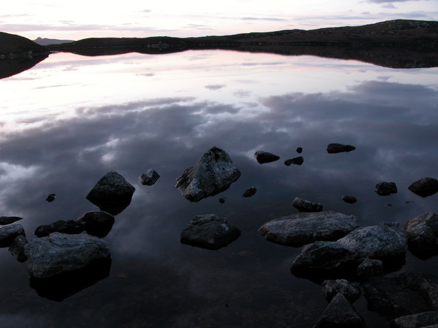
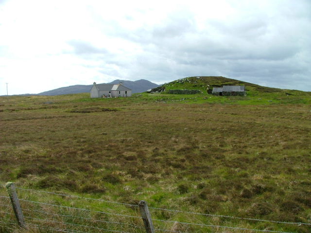
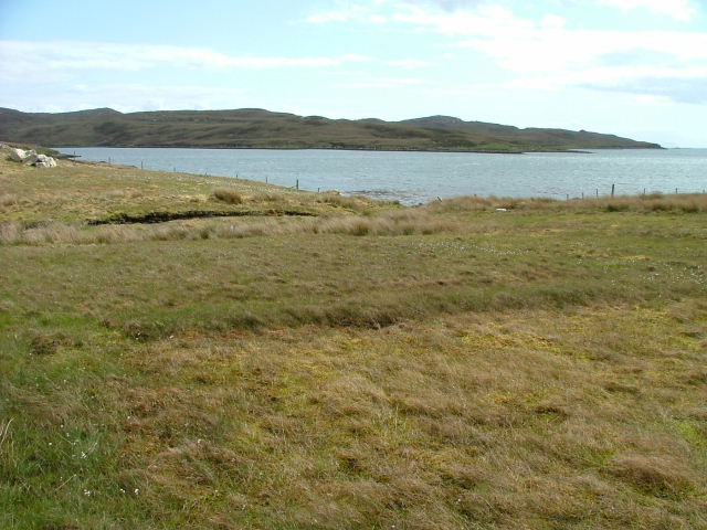
Rubha Raibeart Images

Images are sourced within 2km of 57.620827/-7.1233433 or Grid Reference NF9470. Thanks to Geograph Open Source API. All images are credited.

Lighthouse on Rubha an Fhigheadair With Madadh Beag in the near distance.
Lighthouse on Rubha an Fhigheadair
With Madadh Beag in the near distance.
Loch an t-Sagairt at Sunset in February
Croft at Greanacleit By the Lochportain road.
Croft at Greanacleit
By the Lochportain road.
Loch Portain Looking towards Rubha nan Gall.
Loch Portain
Looking towards Rubha nan Gall.
Croft in Lochportain Overlooking the loch of the same name.
Croft in Lochportain
Overlooking the loch of the same name.
Postbox and Sheep In Lochportain.
Postbox and Sheep
In Lochportain.
"Lighthouse Loch" North Uist
An Glais-eilean Meadhonach Skerries in the mouth of Loch nam Madadh. The small island of Rodaigh lies beyond; with the north shore of the loch and part of North Uist beyond that.
An Glais-eilean Meadhonach
Skerries in the mouth of Loch nam Madadh. The small island of Rodaigh lies beyond; with the north shore of the loch and part of North Uist beyond that.
MacQuarrie House A traditional domestic building on the north shore of Loch Portain.
MacQuarrie House
A traditional domestic building on the north shore of Loch Portain.
Boat and hut By the side of the road in Lochportain.
Boat and hut
By the side of the road in Lochportain.
Loch an t-Sagairt
Loch an t-Sagairt
The dun in Loch na Caiginn The remains of the dun on a tiny island in Loch na Caiginn are accessible over a stone causeway. The island is ringed by the remains of a wall. The ruin of dun itself is visible as a low, circular wall some 40ft in diameter.
The dun in Loch na Caiginn
The remains of the dun on a tiny island in Loch na Caiginn are accessible over a stone causeway. The island is ringed by the remains of a wall. The ruin of dun itself is visible as a low, circular wall some 40ft in diameter.
Lochan north of Lochportain The western end of an unnamed lochan in the moorland north of the settlement.
Lochan north of Lochportain
The western end of an unnamed lochan in the moorland north of the settlement.
Islands at the mouth of Loch Midhinis Viewed from the coastline north of Sponais.
Islands at the mouth of Loch Midhinis
Viewed from the coastline north of Sponais.
Morning on Caolas Loch Portain Looking up the north end of the kyle towards the houses in Lochportain.
Morning on Caolas Loch Portain
Looking up the north end of the kyle towards the houses in Lochportain.
Two bungalows There were a number of dwellings along this part of the road. Assume this is due to people working in area.
Two bungalows
There were a number of dwellings along this part of the road. Assume this is due to people working in area.
Road back to main road Loch Portain - the body of water - is off to the left.
Road back to main road
Loch Portain - the body of water - is off to the left.
Outcrop near Loch Portain Taken from road running along the loch.
Outcrop near Loch Portain
Taken from road running along the loch.
Show me another place!

Rubha Raibeart is located at Grid Ref: NF9470 (Lat: 57.620827, Lng: -7.1233433)

Unitary Authority: Na h-Eileanan an Iar

Police Authority: Highlands and Islands

What 3 Words

///stored.twinge.shippers. Near Lochmaddy, Na h-Eileanan Siar

Related Wikis

Weavers Point

Weavers Point (Scottish Gaelic: Rubha an Fhigheadair) is a headland to the north of the entrance to Loch Maddy, on the north eastern coastline of North...

Ceallasaigh Beag

Ceallasaigh Beag (or Keallasay Beg) is a low-lying island in Loch Maddy off North Uist in the Outer Hebrides of Scotland. This an area of shallow lagoons...

Taigh Chearsabhagh

Taigh Chearsabhagh is an arts centre and museum in Lochmaddy on the island of North Uist, Scotland.Taigh Chearsabhagh was built in 1741 and originally...

Lochmaddy

Lochmaddy (Scottish Gaelic: Loch nam Madadh [l̪ˠɔx nə ˈmat̪əɣ], "Loch of the Hounds") is the administrative centre of North Uist in the Outer Hebrides...

Nearby Amenities

Located within 500m of 57.620827,-7.1233433
Camas Crubaig
Natural: bay
Lat/Long: 57.6225878/-7.1245694
Rubha Raibeart
Natural: cape
Lat/Long: 57.6206459/-7.1237326
The data included in this document is from www.openstreetmap.org. The data is made available under ODbL.

Have you been to Rubha Raibeart?

Leave your review of Rubha Raibeart below (or comments, questions and feedback).