Loch na Leum
Lake, Pool, Pond, Freshwater Marsh in Inverness-shire
Scotland
Loch na Leum

Loch na Leum is a picturesque freshwater loch located in Inverness-shire, Scotland. It is nestled amidst the stunning natural beauty of the Scottish Highlands and is a popular destination for nature enthusiasts and outdoor enthusiasts alike.
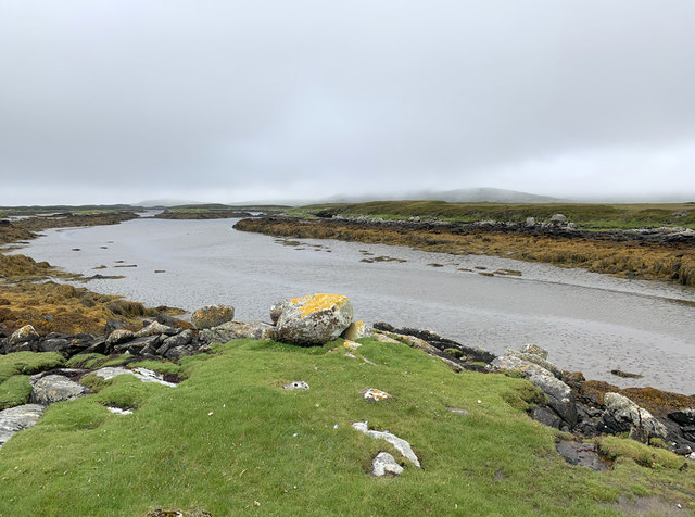
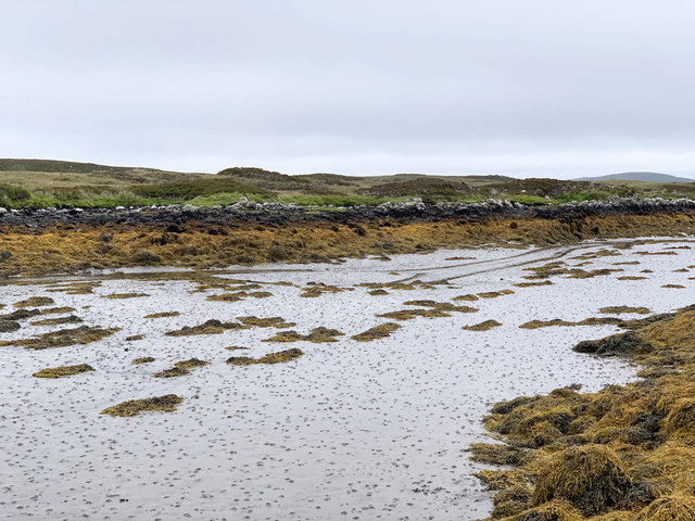
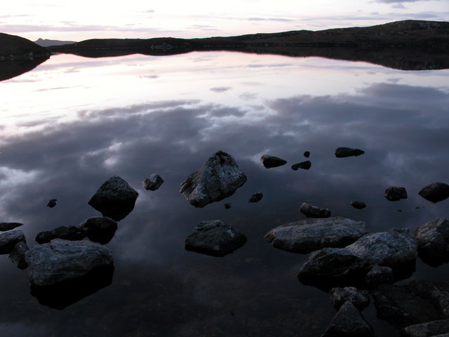
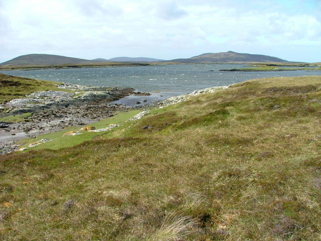
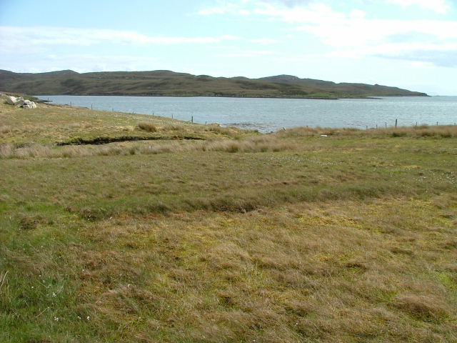
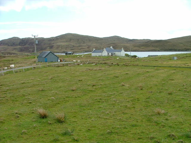
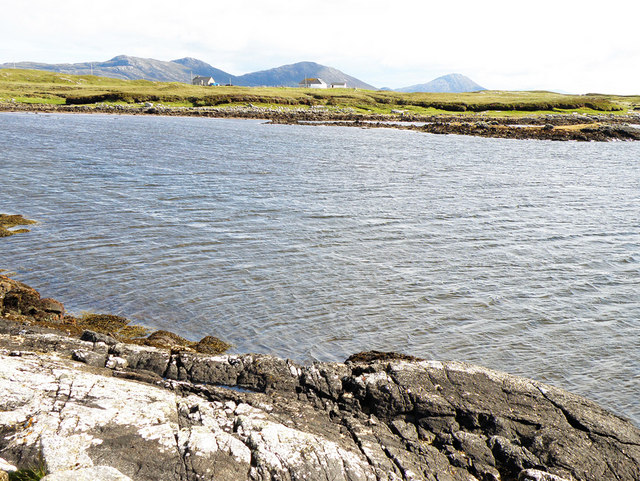
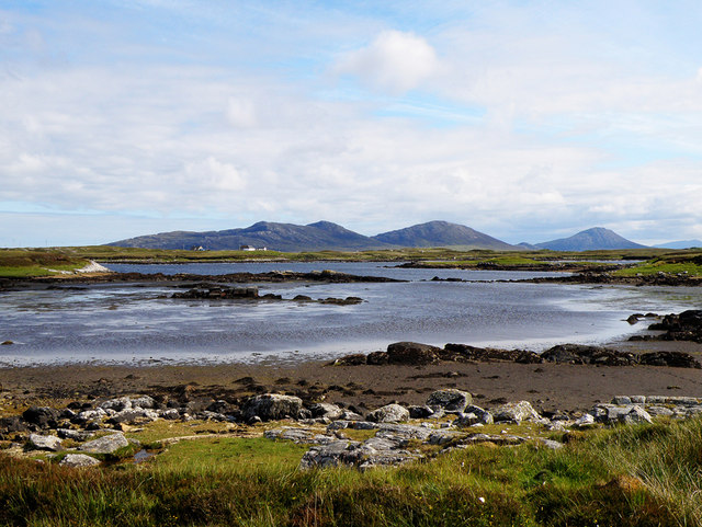
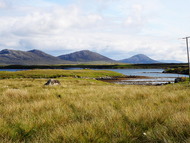
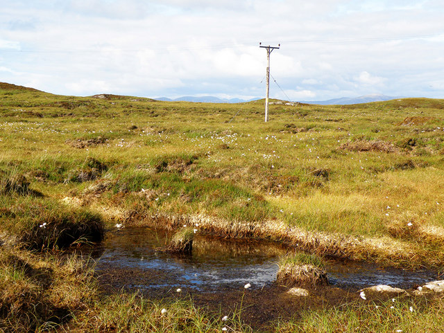
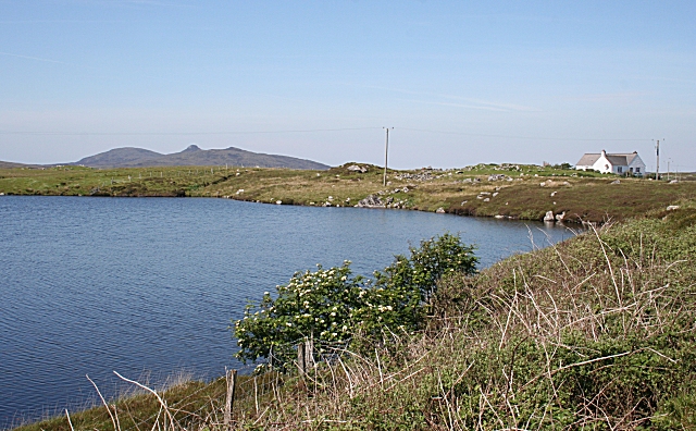
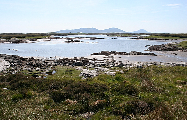
Covering an area of approximately 100 acres, Loch na Leum is characterized by its tranquil surroundings and pristine waters. The loch is surrounded by rolling hills and dense forests, providing a serene and idyllic setting for visitors. Its crystal-clear waters are fed by numerous streams and springs, ensuring a constant flow of clean freshwater.
The loch is home to a diverse range of flora and fauna, making it a haven for wildlife. Visitors can spot a variety of bird species, including herons, ducks, and swans, as well as smaller mammals like otters and voles. The surrounding marshland provides a suitable habitat for various aquatic plants and insects.
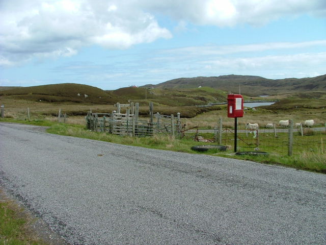
Loch na Leum offers several recreational activities for visitors. Fishing enthusiasts can enjoy angling for trout, which thrive in the loch's nutrient-rich waters. The calm and peaceful atmosphere makes it an ideal spot for boating and kayaking as well. Additionally, the surrounding area offers ample opportunities for hiking and picnicking, allowing visitors to immerse themselves in the natural beauty of the Scottish Highlands.
In conclusion, Loch na Leum is a stunning freshwater loch located in Inverness-shire, Scotland. With its serene surroundings, diverse wildlife, and recreational activities, it is a must-visit destination for those seeking a peaceful and picturesque retreat in the heart of nature.
If you have any feedback on the listing, please let us know in the comments section below.
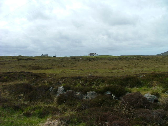
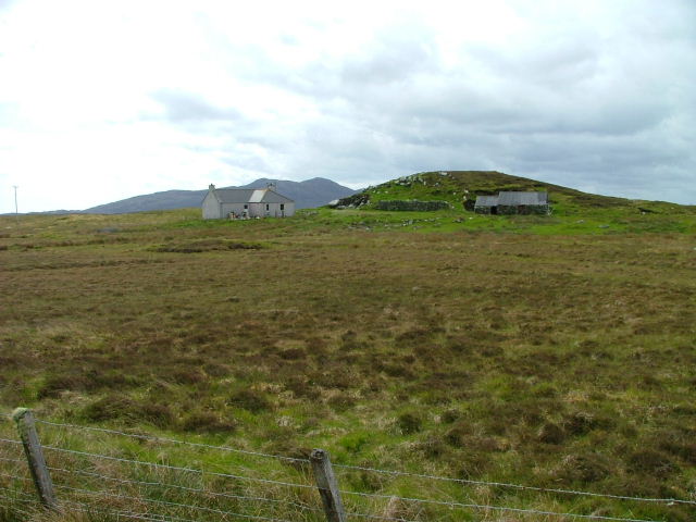
Loch na Leum Images
Images are sourced within 2km of 57.638699/-7.1506815 or Grid Reference NF9272. Thanks to Geograph Open Source API. All images are credited.

Loch na Leum is located at Grid Ref: NF9272 (Lat: 57.638699, Lng: -7.1506815)
Unitary Authority: Na h-Eileanan an Iar
Police Authority: Highlands and Islands
What 3 Words
///confetti.intrigues.blurs. Near Lochmaddy, Na h-Eileanan Siar
Related Wikis

Ceallasaigh Beag
Ceallasaigh Beag (or Keallasay Beg) is a low-lying island in Loch Maddy off North Uist in the Outer Hebrides of Scotland. This an area of shallow lagoons...

Loch an Duin
Loch an Duin is a complex system of freshwater, brackish and sea lochs, tidal channels and islands, on and close to North Uist off the west coast of Scotland...
Ceallasaigh Mòr
Ceallasaigh Mòr (or Keallasay More) is a low-lying island in Loch Maddy off North Uist in the Outer Hebrides of Scotland. This an area of shallow lagoons...
Stromay
Stromay (Scottish Gaelic: Sròmaigh) is a tidal island off North Uist in the Sound of Harris, Scotland. The low island of Stromay lies between two wide...

Na Fir Bhrèige
Na Fir Bhrèige (pronounced [nə fiɾʲ ˈvɾʲeːkʲə]; can be translated from Gaelic into English as "The False Men") is a set of three standing stones on the...

Lochmaddy
Lochmaddy (Scottish Gaelic: Loch nam Madadh [l̪ˠɔx nə ˈmat̪əɣ], "Loch of the Hounds") is the administrative centre of North Uist in the Outer Hebrides...

Taigh Chearsabhagh
Taigh Chearsabhagh is an arts centre and museum in Lochmaddy on the island of North Uist, Scotland.Taigh Chearsabhagh was built in 1741 and originally...
Weavers Point
Weavers Point (Scottish Gaelic: Rubha an Fhigheadair) is a headland to the north of the entrance to Loch Maddy, on the north eastern coastline of North...
Have you been to Loch na Leum?
Leave your review of Loch na Leum below (or comments, questions and feedback).