Loch Camas-duibhe
Lake, Pool, Pond, Freshwater Marsh in Inverness-shire
Scotland
Loch Camas-duibhe
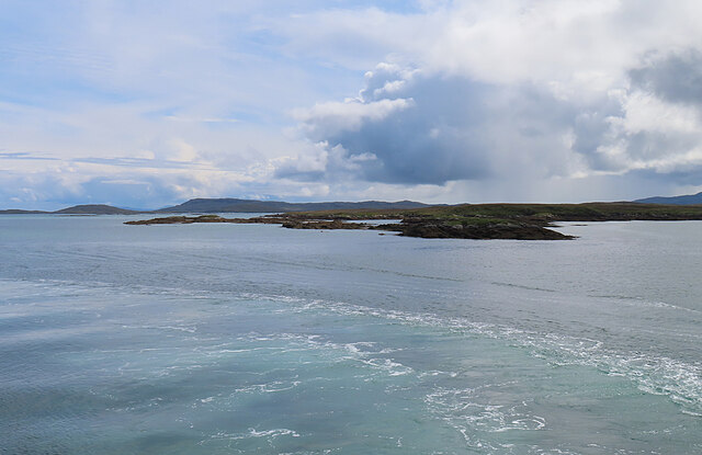
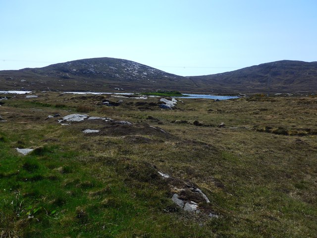
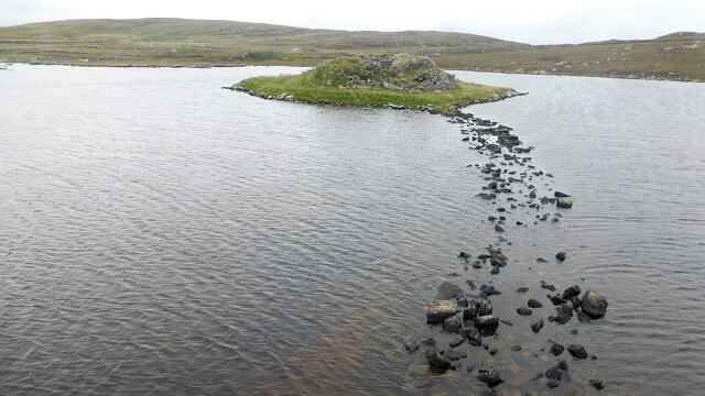
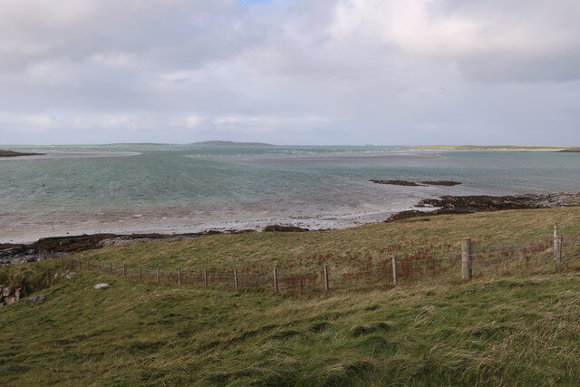
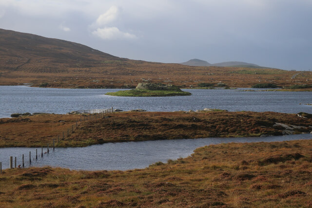
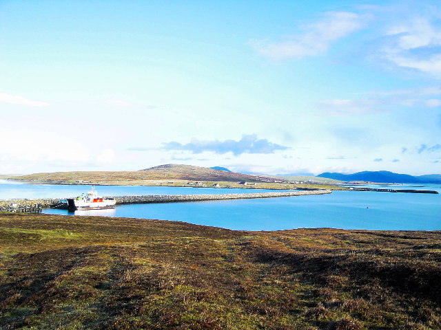
Loch Camas-duibhe is a picturesque freshwater loch located in Inverness-shire, Scotland. Nestled amidst the beautiful Scottish Highlands, it offers a serene and tranquil setting for visitors to immerse themselves in the natural beauty of the region. The name "Camas-duibhe" translates to "black bay" in Gaelic, which is a fitting description of the loch's dark and mysterious appearance.
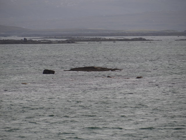
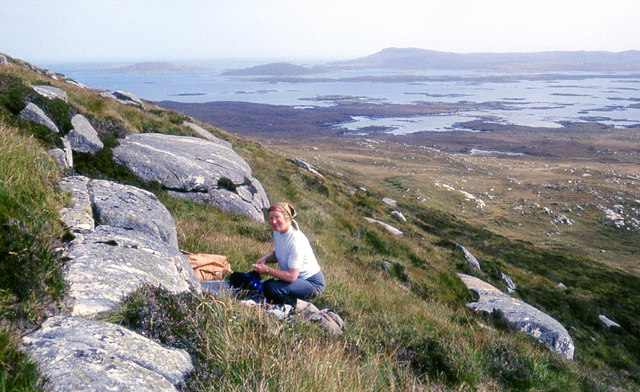
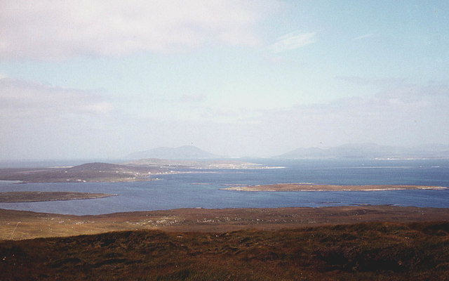
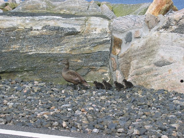
Spanning an area of approximately 50 acres, Loch Camas-duibhe is characterized by its calm and reflective waters. Surrounded by lush greenery and rolling hills, it provides a stunning backdrop for outdoor enthusiasts and nature lovers alike. The loch is often frequented by various bird species, including ducks, swans, and herons, making it an ideal spot for birdwatching.
The loch is also home to an array of fish species, such as trout and perch, making it a popular destination for anglers. Fishing enthusiasts can cast their lines and enjoy the peaceful atmosphere while hoping for a catch.
Furthermore, Loch Camas-duibhe is a haven for flora and fauna. The surrounding freshwater marshes boast a diverse range of plant life, including reeds, water lilies, and rushes. These marshes provide a habitat for various insects, amphibians, and small mammals, further enhancing the ecological value of the area.
Visitors to Loch Camas-duibhe can indulge in a range of activities, from peaceful walks along the shore to boating and fishing. The natural beauty and tranquility of this loch make it a must-visit destination for those seeking solace and a connection with nature in Inverness-shire.
If you have any feedback on the listing, please let us know in the comments section below.
Loch Camas-duibhe Images
Images are sourced within 2km of 57.682505/-7.178278 or Grid Reference NF9177. Thanks to Geograph Open Source API. All images are credited.


Loch Camas-duibhe is located at Grid Ref: NF9177 (Lat: 57.682505, Lng: -7.178278)
Unitary Authority: Na h-Eileanan an Iar
Police Authority: Highlands and Islands
What 3 Words
///remarried.stardom.dunes. Near Lochmaddy, Na h-Eileanan Siar
Nearby Locations
Related Wikis

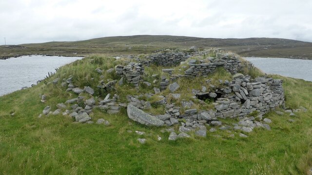
Dun an Sticir
Dun an Sticir (Scottish Gaelic: Dùn an Sticir [ˈt̪un əɲ ˈʃtʲiçkʲɪɾʲ]) is an Iron Age broch situated approximately 9.5 kilometers north of Lochmaddy in...

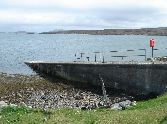
Otternish
Otternish is the former North Uist terminal for the ferry to Berneray, in the Outer Hebrides, Scotland. The slipway lies 6 miles (10 km) north of Lochmaddy...

Newtonferry
Newtonferry (Scottish Gaelic: Port nan Long, "the harbour of the ships") is a small crofting community on the island of North Uist in the Western Isles...

North Uist Machair and Islands
The North Uist Machair and Islands is a protected wetland area in the Outer Hebrides of Scotland. A total of 4,705 hectares comprises seven separate areas...
Have you been to Loch Camas-duibhe?
Leave your review of Loch Camas-duibhe below (or comments, questions and feedback).