Loch Dubh Cnoc na File

Lake, Pool, Pond, Freshwater Marsh in Inverness-shire

Scotland

Loch Dubh Cnoc na File

Airigh an Obain Sheilings with a view
Airigh an Obain Credit: Alan Reid

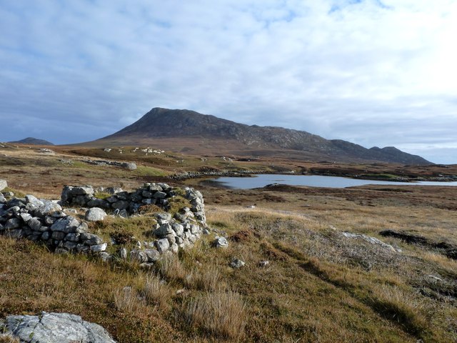
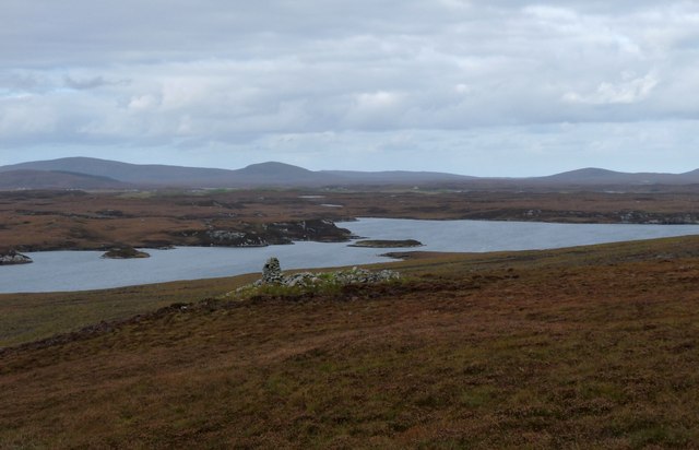
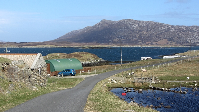
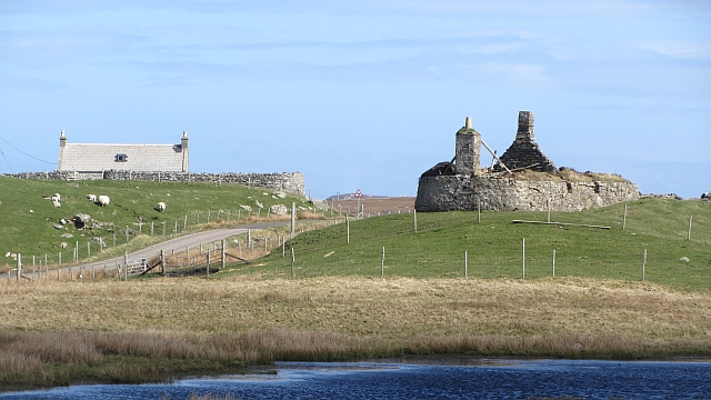
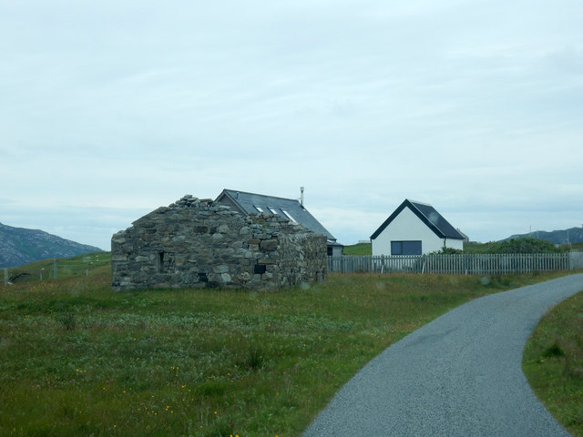
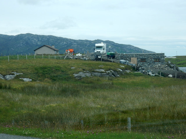
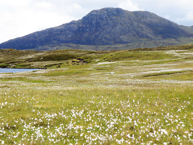
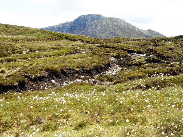
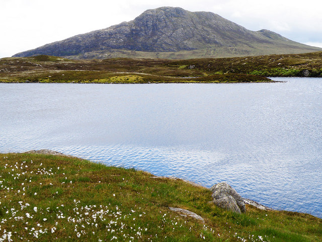
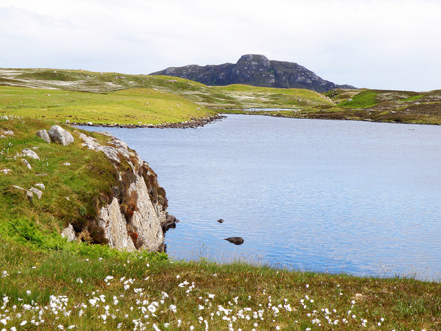
Loch Dubh Cnoc na File, located in Inverness-shire, Scotland, is a stunning freshwater loch nestled amidst the picturesque Scottish Highlands. Surrounded by rolling hills and lush greenery, this tranquil water body is a haven for nature enthusiasts and avid anglers alike.

With its pristine waters and diverse ecosystem, Loch Dubh Cnoc na File supports a wide variety of flora and fauna. The surrounding area is covered with heather moorland, providing a perfect habitat for numerous species of birds, including the iconic red grouse and golden eagle. The loch itself is home to several species of fish, such as brown trout and perch, making it a popular spot for fishing enthusiasts seeking a rewarding catch.

The loch's size is relatively modest, with a surface area of approximately 50 acres. Its crystal-clear waters are fed by small streams originating from nearby mountains, ensuring a constant flow of fresh water throughout the year. The shallower parts of the loch are interspersed with patches of freshwater marsh, which provide a crucial habitat for a variety of waterfowl, amphibians, and other aquatic species.

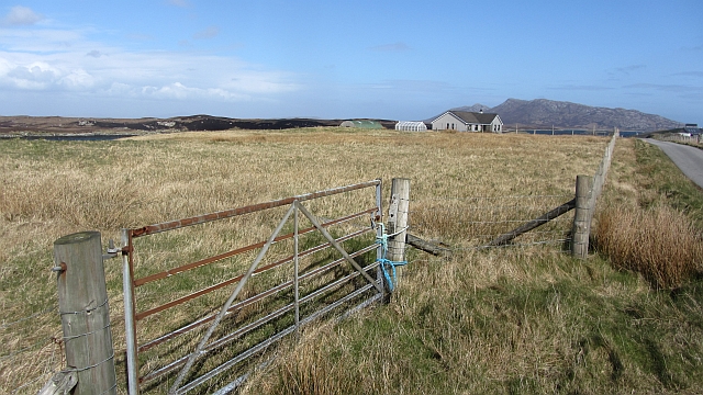
Loch Dubh Cnoc na File is easily accessible by a well-maintained path that winds through the surrounding countryside. The peaceful surroundings and scenic beauty make it an ideal location for picnicking, leisurely walks, or simply enjoying the tranquility of nature.

Overall, Loch Dubh Cnoc na File offers visitors a chance to immerse themselves in the natural beauty of the Scottish Highlands, providing a serene environment that showcases the rich biodiversity and stunning landscapes of Inverness-shire.

If you have any feedback on the listing, please let us know in the comments section below.

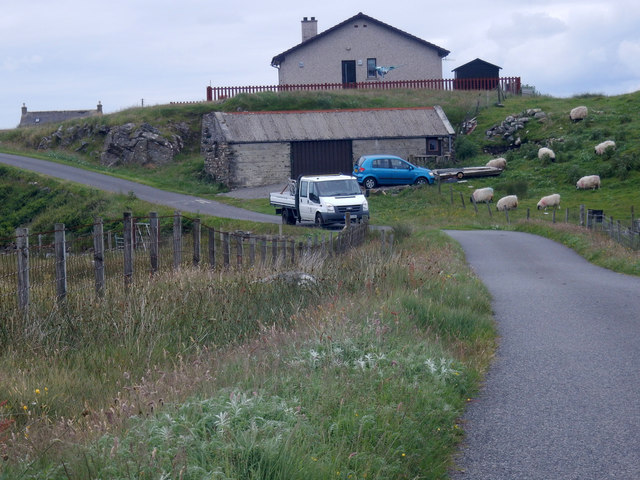
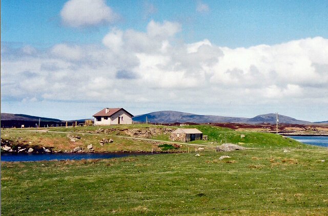
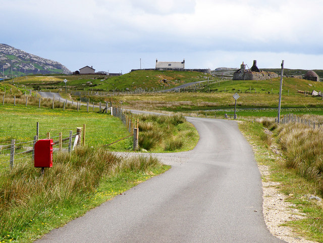
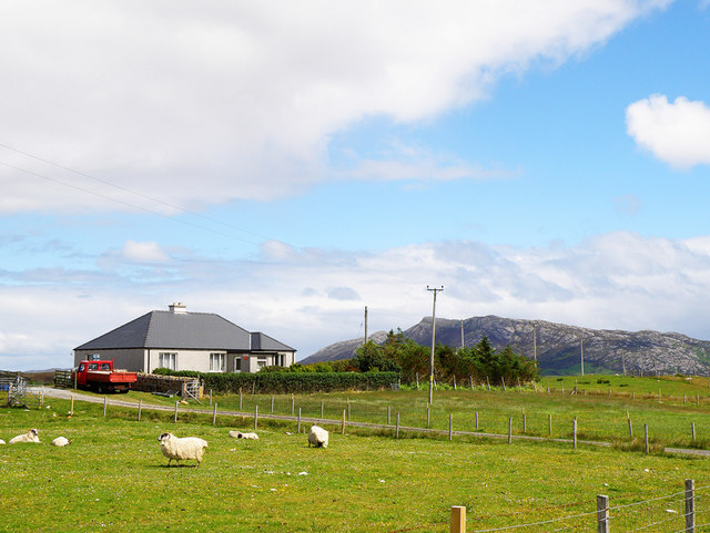
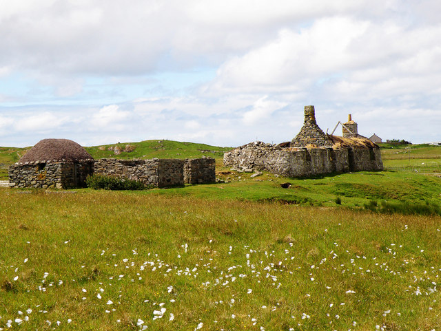
Loch Dubh Cnoc na File Images

Images are sourced within 2km of 57.536041/-7.2286441 or Grid Reference NF8761. Thanks to Geograph Open Source API. All images are credited.

Airigh an Obain Sheilings with a view
Airigh an Obain
Sheilings with a view
Field, Loch Euphort It looks rough, but these fields show up as a green area against the moors when seen from the hills.
Field, Loch Euphort
It looks rough, but these fields show up as a green area against the moors when seen from the hills.
Sidinish: postbox № HS6 20 and the old post office This postbox stands outside the old post office, which was in the building to the right. See <a href="https://www.geograph.org.uk/photo/854445">NF8763 : Sidinish Post Office</a> for a picture of the post office when it was operational.

The post office had opened in the early part of 1930 but fell victim to the Network Change programme - in which 2,500 branches nationwide were axed - and its last day of business was 21 July 2008.
Sidinish: postbox № HS6 20 and the old post office
This postbox stands outside the old post office, which was in the building to the right. See NF8763 : Sidinish Post Office for a picture of the post office when it was operational. The post office had opened in the early part of 1930 but fell victim to the Network Change programme - in which 2,500 branches nationwide were axed - and its last day of business was 21 July 2008.
Loch Obasaraigh An old cairn stands out in the moorland overlooking the loch
Loch Obasaraigh
An old cairn stands out in the moorland overlooking the loch
Saighdinis A settlement strung out along the southern shore of Loch Euphort.
Saighdinis
A settlement strung out along the southern shore of Loch Euphort.
Saighdinis A ruin beside the road along Loch Euphort.
Saighdinis
A ruin beside the road along Loch Euphort.
Minor road, Saighdinis The road along the southern shore of Loch Euphort.
Minor road, Saighdinis
The road along the southern shore of Loch Euphort.
Ruin by the road Most ruins along this road look very robust.
Ruin by the road
Most ruins along this road look very robust.
Building site Looks like that are building a house at the right of the picture
Building site
Looks like that are building a house at the right of the picture
Bungalow on the edge A group of us actually stayed in this bungalow, the first time we visited North Uist. We did not notice the drop until we began looking round. It looks as if the workshop is in a small quarry,
Bungalow on the edge
A group of us actually stayed in this bungalow, the first time we visited North Uist. We did not notice the drop until we began looking round. It looks as if the workshop is in a small quarry,
Tigh Alasdair - cottage near Saighdinis On a rise with Loch Euphort (a sea loch) behind and Loch a'Ghoill (fresh water) towards the camera.
Tigh Alasdair - cottage near Saighdinis
On a rise with Loch Euphort (a sea loch) behind and Loch a'Ghoill (fresh water) towards the camera.
Post Box, Sidinish This minor road follows Loch Euphort which is just to the north
Post Box, Sidinish
This minor road follows Loch Euphort which is just to the north
Sidinish Post Office This Post Office overlooks Loch Euphort
Sidinish Post Office
This Post Office overlooks Loch Euphort
Ruined House Although the house has fallen into ruins, the shed looks to be well looked after
Ruined House
Although the house has fallen into ruins, the shed looks to be well looked after
Towards Eaval Cotton grass can be seen in abundance in the foreground whilst Eaval rises to 347m in the distance
Towards Eaval
Cotton grass can be seen in abundance in the foreground whilst Eaval rises to 347m in the distance
Towards Eaval With cotton grass in the foreground, Eaval rises in the distance
Towards Eaval
With cotton grass in the foreground, Eaval rises in the distance
Loch a Ghoill Loch a Ghoill with Eaval in the distance
Loch a Ghoill
Loch a Ghoill with Eaval in the distance
Loch a Ghoill Loch a Ghoill with Burabhal in the distance
Loch a Ghoill
Loch a Ghoill with Burabhal in the distance
Show me another place!

Loch Dubh Cnoc na File is located at Grid Ref: NF8761 (Lat: 57.536041, Lng: -7.2286441)

Unitary Authority: Na h-Eileanan an Iar

Police Authority: Highlands and Islands

What 3 Words

///visits.townhouse.onwards. Near Lochmaddy, Na h-Eileanan Siar

Related Wikis

Fraoch-Eilean

Fraoch-eilean is a small island with an uncertain population north of Benbecula in the Outer Hebrides of Scotland. It is about 55 hectares (140 acres...

Baile Glas

Baile Glas or Ballaglasa (Scottish Gaelic: Am Baile Glas) is a settlement on Grimsay in the Outer Hebrides, Scotland. Ballaglasa is within the parish of...

Grimsay

Grimsay (Scottish Gaelic: Griomasaigh) is a tidal island in the Outer Hebrides of Scotland. == Geography == Grimsay is the largest of the low-lying stepping...

Carinish

Carinish (Scottish Gaelic: Càirinis), is a hamlet on North Uist, in the Outer Hebrides, Scotland. It is in the south of the island, about two miles (three...

Have you been to Loch Dubh Cnoc na File?

Leave your review of Loch Dubh Cnoc na File below (or comments, questions and feedback).