Cnoc Mòr

Hill, Mountain in Inverness-shire

Scotland

Cnoc Mòr

The Roadends Community Sculpture Project This plaque at Locheport explains the sculpture project.
The Roadends Community Sculpture Project Credit: David Purchase

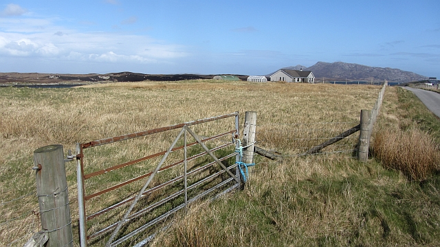
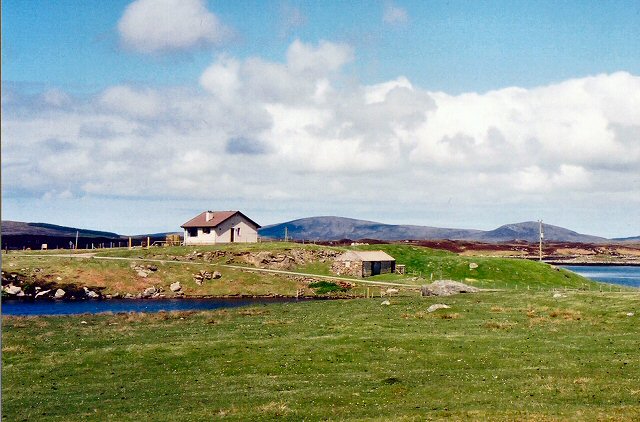
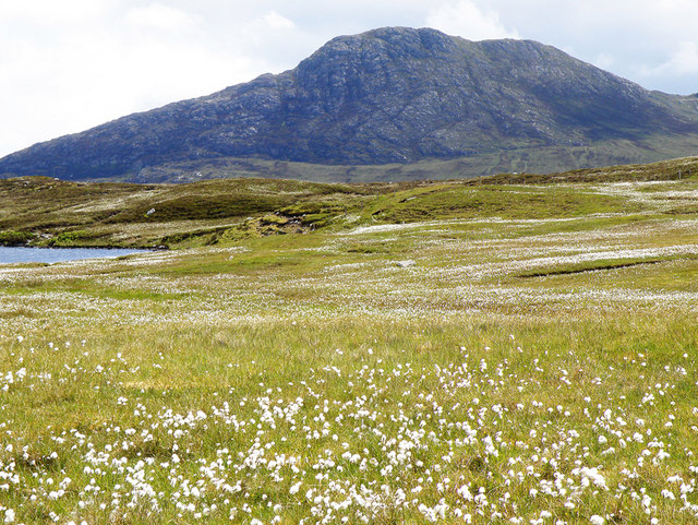
Cnoc Mòr is a prominent hill located in Inverness-shire, a historic county in the Scottish Highlands. It is situated near the village of Drumnadrochit, approximately 15 miles southwest of Inverness. With an elevation of 313 meters (1,027 feet), Cnoc Mòr offers breathtaking views of the surrounding countryside.

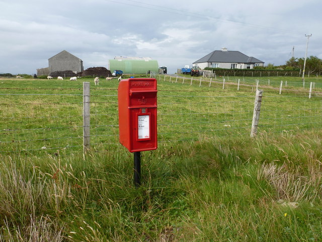
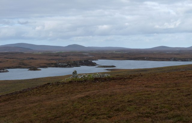
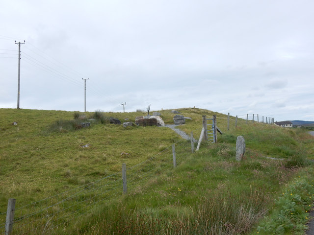
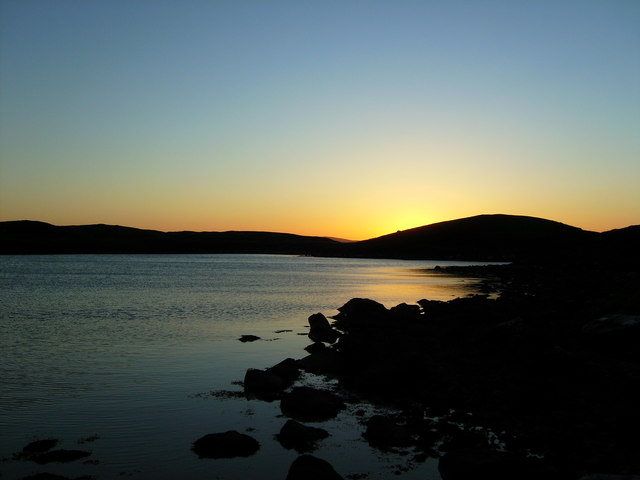
The hill is covered in a mixture of heather, grasses, and scattered trees, creating a picturesque landscape. It is a popular destination for outdoor enthusiasts, hikers, and nature lovers, who come to explore its trails and enjoy the tranquility of the area. The hill provides an excellent vantage point to admire the scenic beauty of Loch Ness, the largest freshwater lake in Scotland, which lies to the southeast.

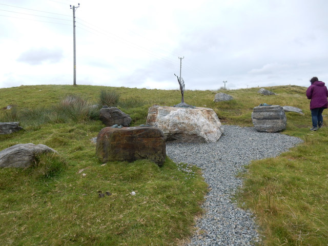
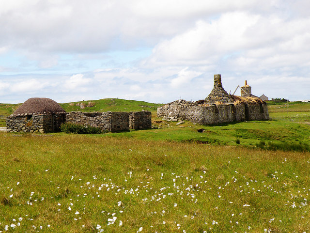
Cnoc Mòr is also known to have a rich archaeological history. The hill features an ancient fort or hillfort, believed to have been constructed during the Iron Age. The remains of the fort's defensive walls and ditches can still be seen today, giving visitors a glimpse into the region's ancient past.

The hill offers various walking routes to cater to different abilities, including a circular path that takes visitors around the fort and provides interpretive signs explaining its historical significance. There are also options for more challenging hikes, allowing adventurous individuals to explore the hill's diverse terrain and enjoy the panoramic vistas.

Overall, Cnoc Mòr in Inverness-shire is a captivating destination that combines natural beauty, historical significance, and outdoor recreational opportunities, making it a must-visit location for those exploring the Scottish Highlands.

If you have any feedback on the listing, please let us know in the comments section below.
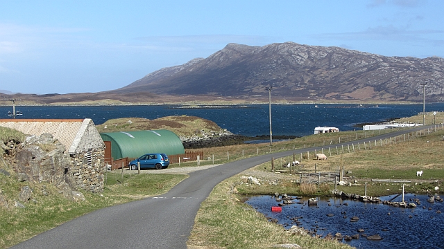
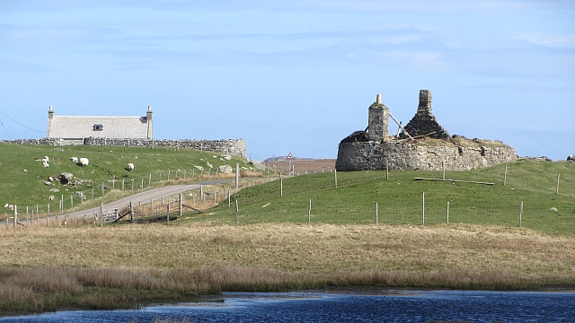
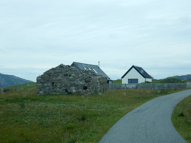
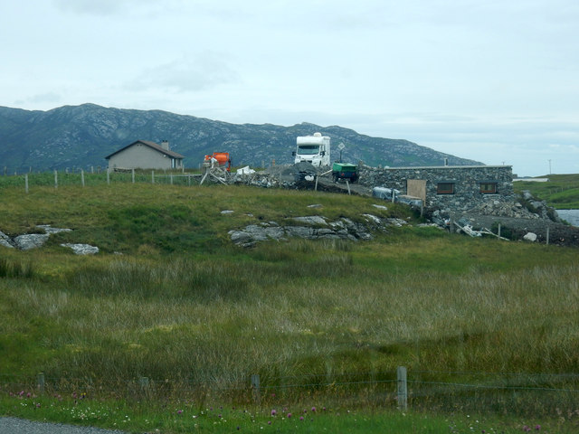
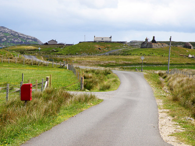
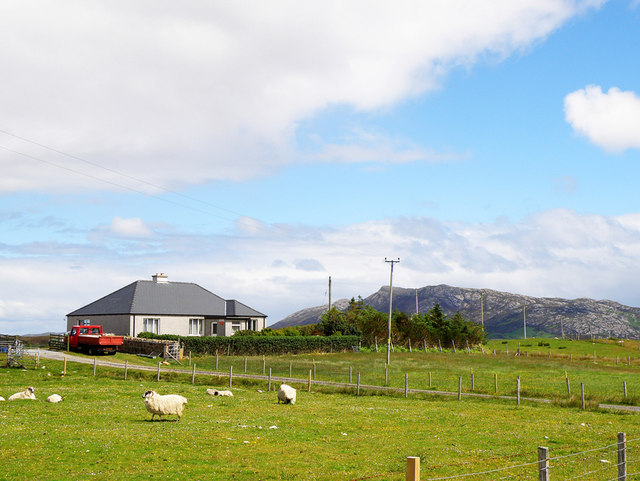
Cnoc Mòr Images

Images are sourced within 2km of 57.53827/-7.2245969 or Grid Reference NF8761. Thanks to Geograph Open Source API. All images are credited.

The Roadends Community Sculpture Project This plaque at Locheport explains the sculpture project.
The Roadends Community Sculpture Project
This plaque at Locheport explains the sculpture project.
Field, Loch Euphort It looks rough, but these fields show up as a green area against the moors when seen from the hills.
Field, Loch Euphort
It looks rough, but these fields show up as a green area against the moors when seen from the hills.
Sidinish: postbox № HS6 20 and the old post office This postbox stands outside the old post office, which was in the building to the right. See <a href="https://www.geograph.org.uk/photo/854445">NF8763 : Sidinish Post Office</a> for a picture of the post office when it was operational.

The post office had opened in the early part of 1930 but fell victim to the Network Change programme - in which 2,500 branches nationwide were axed - and its last day of business was 21 July 2008.
Sidinish: postbox № HS6 20 and the old post office
This postbox stands outside the old post office, which was in the building to the right. See NF8763 : Sidinish Post Office for a picture of the post office when it was operational. The post office had opened in the early part of 1930 but fell victim to the Network Change programme - in which 2,500 branches nationwide were axed - and its last day of business was 21 July 2008.
Loch Obasaraigh An old cairn stands out in the moorland overlooking the loch
Loch Obasaraigh
An old cairn stands out in the moorland overlooking the loch
Saighdinis A settlement strung out along the southern shore of Loch Euphort.
Saighdinis
A settlement strung out along the southern shore of Loch Euphort.
Saighdinis A ruin beside the road along Loch Euphort.
Saighdinis
A ruin beside the road along Loch Euphort.
Minor road, Saighdinis The road along the southern shore of Loch Euphort.
Minor road, Saighdinis
The road along the southern shore of Loch Euphort.
Ruin by the road Most ruins along this road look very robust.
Ruin by the road
Most ruins along this road look very robust.
Building site Looks like that are building a house at the right of the picture
Building site
Looks like that are building a house at the right of the picture
The statue has moved We stayed at a bungalow just back along the road about 8 years ago. We visited the statue then. When we came, we could not find it. It has been moved. Took a minute to find it back along the road.
The statue has moved
We stayed at a bungalow just back along the road about 8 years ago. We visited the statue then. When we came, we could not find it. It has been moved. Took a minute to find it back along the road.
Area round statue Picture to show where the statue is now (August 2015).
Area round statue
Picture to show where the statue is now (August 2015).
Bungalow on the edge A group of us actually stayed in this bungalow, the first time we visited North Uist. We did not notice the drop until we began looking round. It looks as if the workshop is in a small quarry,
Bungalow on the edge
A group of us actually stayed in this bungalow, the first time we visited North Uist. We did not notice the drop until we began looking round. It looks as if the workshop is in a small quarry,
Tigh Alasdair - cottage near Saighdinis On a rise with Loch Euphort (a sea loch) behind and Loch a'Ghoill (fresh water) towards the camera.
Tigh Alasdair - cottage near Saighdinis
On a rise with Loch Euphort (a sea loch) behind and Loch a'Ghoill (fresh water) towards the camera.
Loch Obasaraigh shoreline The sun setting below hills to the West of Loch Obasaraigh.
Loch Obasaraigh shoreline
The sun setting below hills to the West of Loch Obasaraigh.
Post Box, Sidinish This minor road follows Loch Euphort which is just to the north
Post Box, Sidinish
This minor road follows Loch Euphort which is just to the north
Sidinish Post Office This Post Office overlooks Loch Euphort
Sidinish Post Office
This Post Office overlooks Loch Euphort
Ruined House Although the house has fallen into ruins, the shed looks to be well looked after
Ruined House
Although the house has fallen into ruins, the shed looks to be well looked after
Towards Eaval Cotton grass can be seen in abundance in the foreground whilst Eaval rises to 347m in the distance
Towards Eaval
Cotton grass can be seen in abundance in the foreground whilst Eaval rises to 347m in the distance
Show me another place!

Cnoc Mòr is located at Grid Ref: NF8761 (Lat: 57.53827, Lng: -7.2245969)

Unitary Authority: Na h-Eileanan an Iar

Police Authority: Highlands and Islands

What 3 Words

///embellish.potions.carver. Near Lochmaddy, Na h-Eileanan Siar

Related Wikis

Fraoch-Eilean

Fraoch-eilean is a small island with an uncertain population north of Benbecula in the Outer Hebrides of Scotland. It is about 55 hectares (140 acres...

Baile Glas

Baile Glas or Ballaglasa (Scottish Gaelic: Am Baile Glas) is a settlement on Grimsay in the Outer Hebrides, Scotland. Ballaglasa is within the parish of...

Grimsay

Grimsay (Scottish Gaelic: Griomasaigh) is a tidal island in the Outer Hebrides of Scotland. == Geography == Grimsay is the largest of the low-lying stepping...

Carinish

Carinish (Scottish Gaelic: Càirinis), is a hamlet on North Uist, in the Outer Hebrides, Scotland. It is in the south of the island, about two miles (three...

Have you been to Cnoc Mòr?

Leave your review of Cnoc Mòr below (or comments, questions and feedback).