Gayhurst

Settlement in Buckinghamshire

England

Gayhurst

Footbridge over M1 southbound
Footbridge over M1 southbound Credit: Dave Thompson

Gayhurst is a small village located in the county of Buckinghamshire, England. Situated near the River Great Ouse, it is approximately 4 miles north of Newport Pagnell and 7 miles east of Milton Keynes. The village is part of the civil parish of Newport Pagnell.

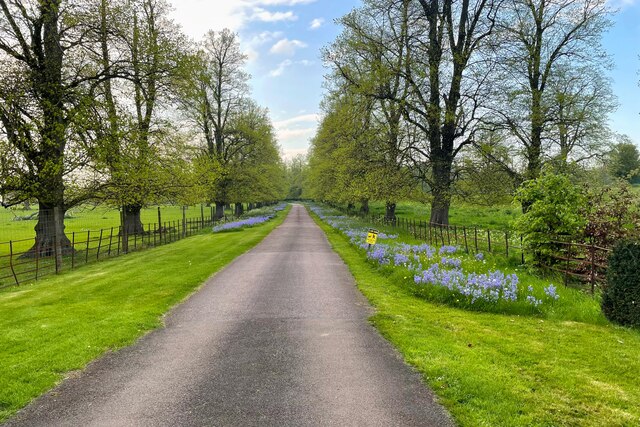
Gayhurst is renowned for its picturesque countryside and historic charm. It is home to a population of around 300 residents, making it a close-knit community. The village is characterized by a collection of traditional stone houses, many of which date back to the 17th and 18th centuries. These buildings contribute to the area's scenic beauty and preservation of its historical heritage.

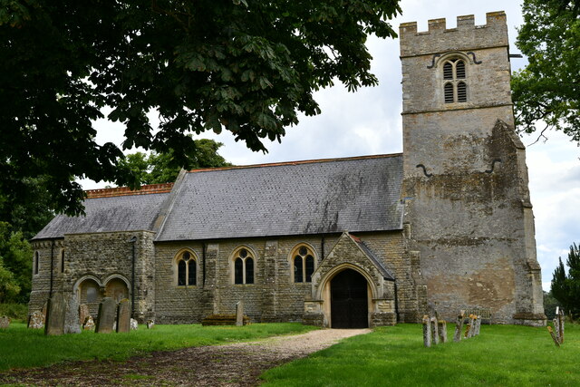
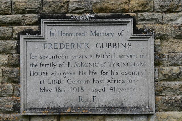
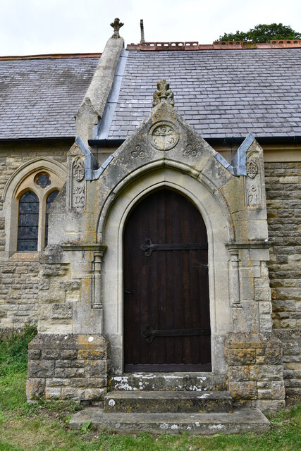
The heart of Gayhurst is centered around its parish church, St Peter and St Paul, which has stood since the 13th century. The church, with its striking architecture and beautiful stained-glass windows, serves as a focal point for both religious and community events.

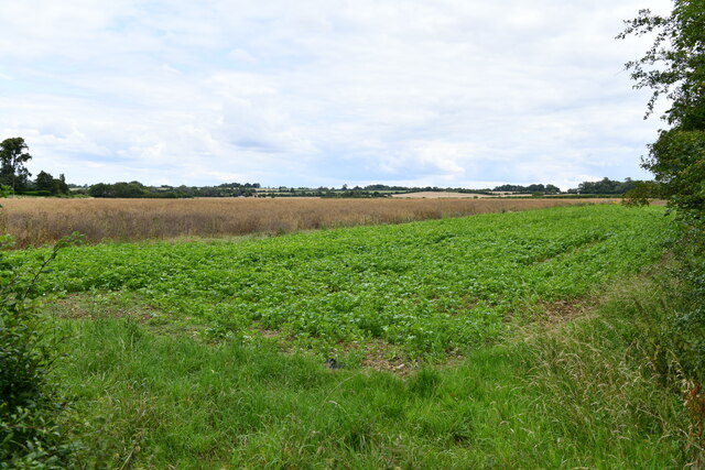
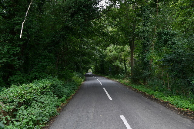
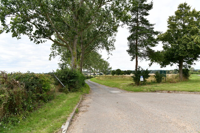
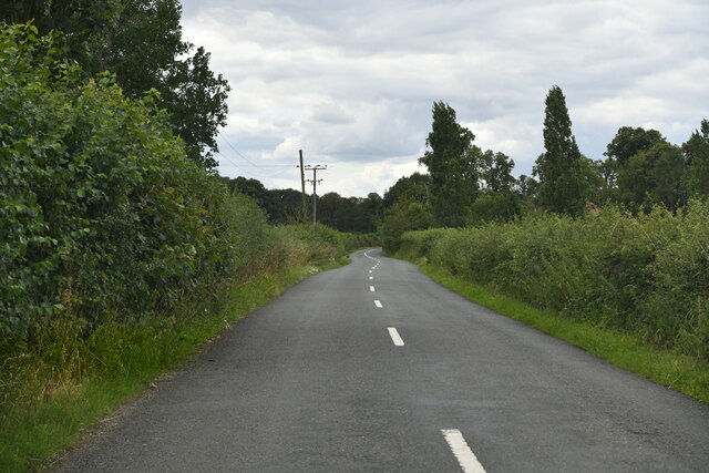
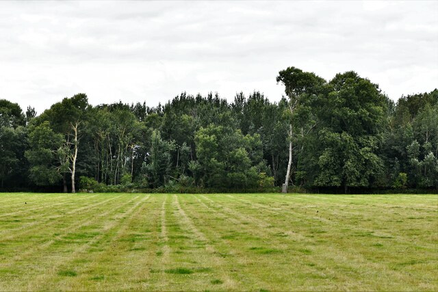
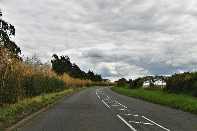
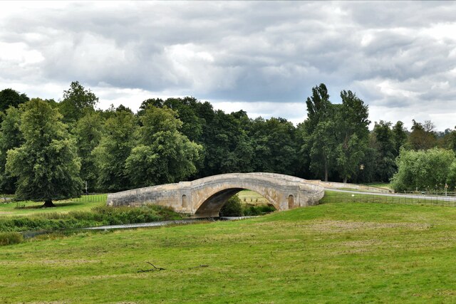
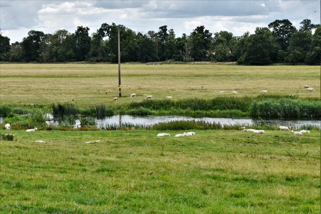
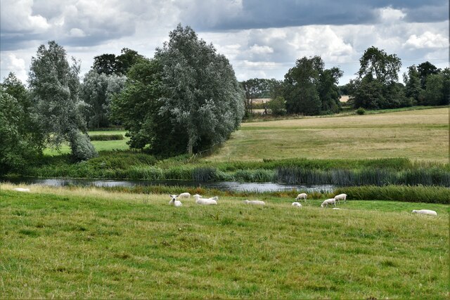
Surrounded by rolling hills and open fields, Gayhurst offers numerous opportunities for outdoor activities and exploration. The village benefits from its proximity to the River Great Ouse, which provides scenic walks and fishing spots for locals and visitors alike.

Although small in size, Gayhurst benefits from its close proximity to larger towns such as Newport Pagnell and Milton Keynes, where residents can find a wider range of amenities and services.

Overall, Gayhurst is a tranquil and idyllic village that appeals to those seeking a peaceful rural setting with a strong sense of community and a rich historical backdrop.

If you have any feedback on the listing, please let us know in the comments section below.

Gayhurst Images

Images are sourced within 2km of 52.111095/-0.758813 or Grid Reference SP8546. Thanks to Geograph Open Source API. All images are credited.

Footbridge over M1 southbound
Smart Motorway works - M1 southbound
Minor road crossing M1 southbound
Drive up to Tyringham Hall
Filgrave: Root crop
Filgrave: Root crop
Filgrave: Tree placed to prevent access to the field
Filgrave: Entering Blackthorn Covert
Tyringham with Filgrave: St. Peter's Church
Lathbury: Road to Quarry Hall Farm
Filgrave: The road to Blackthorn Covert
Filgrave: Broadmore Covert
Lathbury: Northampton Road
Tyringham with Filgrave: Tyringham Bridge
Tyringham with Filgrave: Sheep
Tyringham with Filgrave, St. Peter's Church: Frederick Gubbins memorial Sited on the external south wall.
Tyringham with Filgrave, St. Peter's Church: Frederick Gubbins memorial
Sited on the external south wall.
Tyringham with Filgraven St. Peter's Church: South entrance doorway
Tyringham with Filgrave, St. Peter's Church: Southern aspect
Show me another place!

Gayhurst is located at Grid Ref: SP8546 (Lat: 52.111095, Lng: -0.758813)

Unitary Authority: Milton Keynes

Police Authority: Thames Valley

What 3 Words

///messaging.crouching.method. Near Gayhurst, Buckinghamshire

Nearby Locations

Gayhurst

Related Wikis

Newport Hundred

Newport Hundred was a hundred in the county of Buckinghamshire, England. It encompassed the north of the county, enclosed by the counties of Bedfordshire...

Gayhurst

Gayhurst is a village and civil parish in the unitary authority area of the City of Milton Keynes, Buckinghamshire, England. It is about 2.5 miles (4...

Tyringham Hall

Tyringham Hall (/ˈtiːrɪŋəm/) is a Grade I listed stately home, originally designed by Sir John Soane in 1792. It is located in Tyringham near Newport Pagnell...

Gayhurst House

Gayhurst House (now known as Gayhurst Court) is a late-Elizabethan country house in Buckinghamshire. It is located near the village of Gayhurst, several...

Nearby Amenities

Located within 500m of 52.111095,-0.758813
Gayhurst
Is In: Buckinghamshire
Place: hamlet
Lat/Long: 52.1113828/-0.760807
Bus Stop
The Sir Francis Drake
Bus: yes
Naptan AtcoCode: 049002579291
Naptan Bearing: NW
Naptan BusStopType: CUS
Naptan CommonName: The Sir Francis Drake
Naptan Indicator: o/s
Naptan Landmark: N
Naptan NaptanCode: mltajp
Naptan Street: B526
Naptan Verified: no
Public Transport: platform
Source: naptan_import
Lat/Long: 52.1111151/-0.7588789
Bus Stop
The Sir Francis Drake
Bus: yes
Naptan AtcoCode: 049002579791
Naptan Bearing: SE
Naptan BusStopType: CUS
Naptan CommonName: The Sir Francis Drake
Naptan Indicator: opp
Naptan Landmark: N
Naptan NaptanCode: mltajw
Naptan Street: B526
Naptan Verified: no
Public Transport: platform
Source: naptan_import
Lat/Long: 52.1112314/-0.7588172
Barrier: stile
Lat/Long: 52.1138578/-0.7636973
Post Box
Brand: Royal Mail
Brand Wikidata: Q638098
Brand Wikipedia: en:Royal Mail
Collection Times: Mo-Fr 16:30; Sa 08:30
Operator: Royal Mail
Operator Wikidata: Q638098
Post Box Type: lamp
Ref: MK16 157
Royal Cypher: EIIR
Royal Cypher Wikidata: Q33102113
Source: survey
Survey Date: 2015-10-10
Lat/Long: 52.1111643/-0.7590339
Power: pole
Lat/Long: 52.1074656/-0.7548635
Power: pole
Lat/Long: 52.1081138/-0.7546341
Power: pole
Lat/Long: 52.1087374/-0.7544115
Power: pole
Lat/Long: 52.1088411/-0.7563776
Power: pole
Lat/Long: 52.1087835/-0.7543793
Power: pole
Lat/Long: 52.108744/-0.753234
The data included in this document is from www.openstreetmap.org. The data is made available under ODbL.

Have you been to Gayhurst?

Leave your review of Gayhurst below (or comments, questions and feedback).