Loch na Bèiste
Lake, Pool, Pond, Freshwater Marsh in Inverness-shire
Scotland
Loch na Bèiste
Loch na Bèiste, located in Inverness-shire, Scotland, is a picturesque freshwater loch known for its natural beauty and tranquility. Spread over an area of approximately 20 acres, it is nestled within the stunning Scottish Highlands, surrounded by rolling hills and lush greenery.
The loch, which translates to "Lake of the Beast" in English, holds a certain mystical allure due to its intriguing name. Legend has it that the loch is home to a mythical creature, similar to the Loch Ness Monster, known as the "Bèiste." Although there have been occasional reports of sightings, no concrete evidence has ever been found to support the existence of this creature.
The water in Loch na Bèiste is crystal clear and is fed by several small streams that flow down from the surrounding hills. The loch is relatively shallow, with an average depth of around 10 feet, making it ideal for various water activities such as fishing or boating.
Surrounding the loch, there is a diverse range of vegetation, including reeds and grasses, creating a freshwater marsh ecosystem. This marshland serves as a habitat for various bird species, including ducks, herons, and occasionally ospreys, making it a popular spot for birdwatching enthusiasts.
Loch na Bèiste offers a serene and peaceful environment, perfect for those seeking a retreat from the hustle and bustle of daily life. Its stunning natural surroundings and the possibility of catching a glimpse of the legendary Bèiste make it a popular destination for tourists and nature lovers alike.
If you have any feedback on the listing, please let us know in the comments section below.
Loch na Bèiste Images
Images are sourced within 2km of 57.423656/-7.2224597 or Grid Reference NF8649. Thanks to Geograph Open Source API. All images are credited.


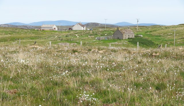
![A popular post box Maybe not so popular when it comes to the amount of mail that passes through it, but certainly popular with [currently] two thirds of geograph contributors who pass this way. The reason is that there is very little else of note in this square except for rough grassland and rather soggy moorland.](https://s1.geograph.org.uk/geophotos/06/20/89/6208981_6d9f61ef.jpg)
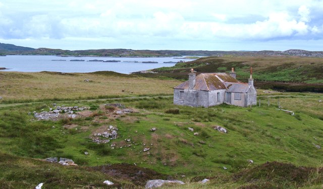
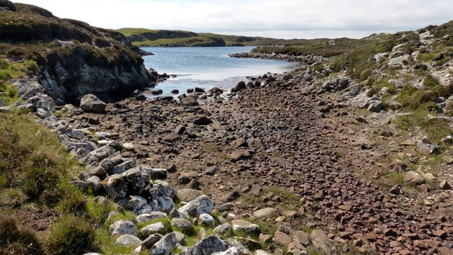
![On the shores of Loch Uiseabhagh Little visited [except by sheep] stretch of coastline in a remote corner of Benbecula.](https://s1.geograph.org.uk/geophotos/03/06/16/3061625_01f513f0.jpg)
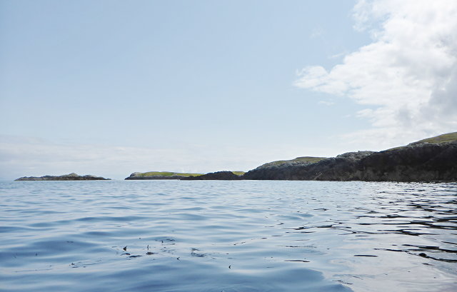
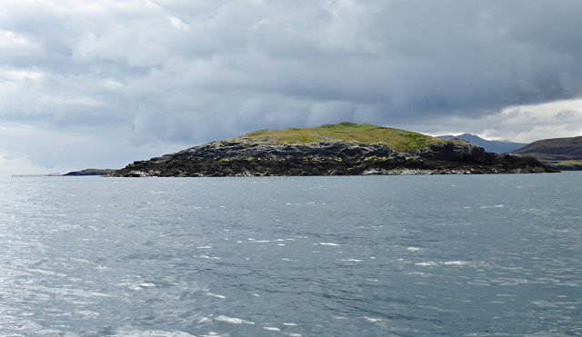
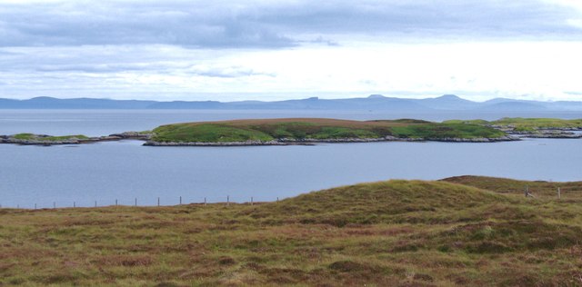
![Offshore skerry near Uiseabhagh The view offshore from a remote stretch of the Benbecula coastline. The skerry is unnamed on the map, whilst the coastline of Skye is visible in the distance [right].](https://s1.geograph.org.uk/geophotos/03/06/16/3061637_f08c3474.jpg)


Loch na Bèiste is located at Grid Ref: NF8649 (Lat: 57.423656, Lng: -7.2224597)
Unitary Authority: Na h-Eileanan an Iar
Police Authority: Highlands and Islands
What 3 Words
///tinny.outlooks.tweeted. Near Balivanich, Na h-Eileanan Siar
Nearby Locations
Related Wikis

Eileanan Chearabhaigh
Eileanan Chearabhaigh is a collection of small uninhabited tidal islands off the south east coast of Benbecula in the Outer Hebrides of Scotland. The English...

Wiay, Outer Hebrides
Wiay (Scottish Gaelic: Bhuia or Fuidheigh) is an uninhabited island in the Outer Hebrides. It lies south-east of Benbecula and measures approximately...

Grimsay (South East Benbecula)
Grimsay, south east of Benbecula is a tidal island of the Outer Hebrides. It is connected to Benbecula by a causeway which carries the B891. In the 2001...

Eilean na Cille
Eilean na Cille, south east of Benbecula is an island of the Outer Hebrides connected to Grimsay (South) by a causeway which carries the B891. The road...
Nearby Amenities
Located within 500m of 57.423656,-7.2224597Have you been to Loch na Bèiste?
Leave your review of Loch na Bèiste below (or comments, questions and feedback).