Loch na Ceithir-Eileana

Lake, Pool, Pond, Freshwater Marsh in Inverness-shire

Scotland

Loch na Ceithir-Eileana

The community of Locheport on the shore of Loch Eport Seen from the circular way-marked path on Beinn Langais as it leaves the summit and descends to the Pobull Fhinn stone circle.
The community of Locheport on the shore of Loch Eport Credit: Julian Paren

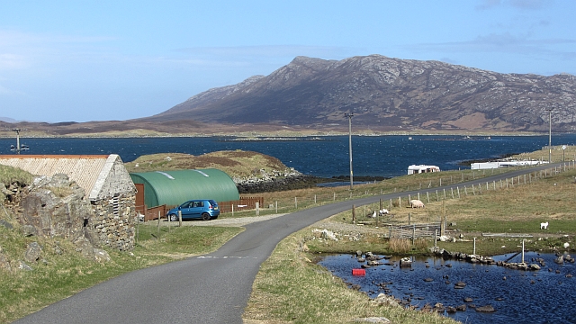
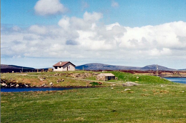
Loch na Ceithir-Eileana is a stunning freshwater body located in Inverness-shire, Scotland. Also known as the Lake of the Four Islands, it is a popular destination for nature enthusiasts and visitors seeking tranquility. The Loch spans approximately 1.5 square kilometers and is situated in a picturesque setting surrounded by rolling hills and lush greenery.

The main feature of Loch na Ceithir-Eileana is its four islands, which give the lake its name. These islands are home to a variety of plant and animal species, including several bird species such as ducks, swans, and herons. The islands also provide a nesting ground for these birds, making it a haven for birdwatchers.

The clear and calm waters of the loch offer excellent opportunities for water activities such as fishing and boating. Anglers can expect to catch a variety of fish species, including brown trout and pike. Boaters can explore the islands and enjoy the serene atmosphere of the surrounding landscape.

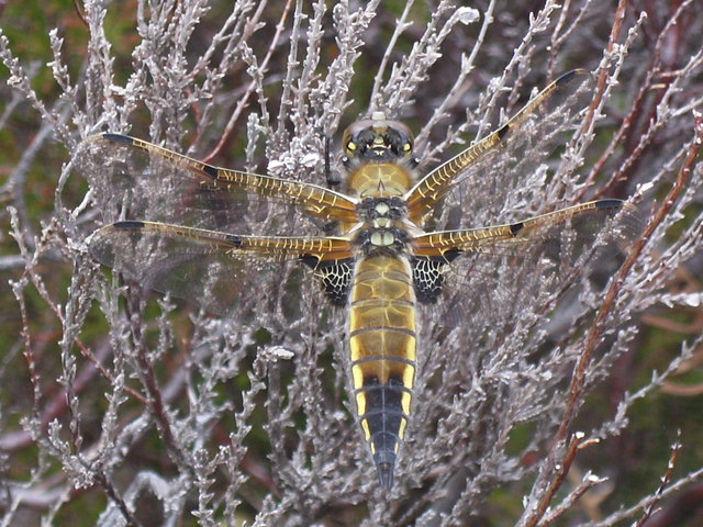
Adjacent to the Loch is a freshwater marsh, which adds to the diverse ecosystem of the area. This marsh is home to a wide range of plant species, including reeds and water lilies. It provides a habitat for various amphibians, insects, and small mammals.

Visitors to Loch na Ceithir-Eileana can enjoy breathtaking views of the surrounding countryside, take leisurely walks along the shoreline, or simply relax and soak in the natural beauty of the area. Whether you are a nature lover, an angler, or someone seeking peace and tranquility, Loch na Ceithir-Eileana is a must-visit destination in Inverness-shire.

If you have any feedback on the listing, please let us know in the comments section below.

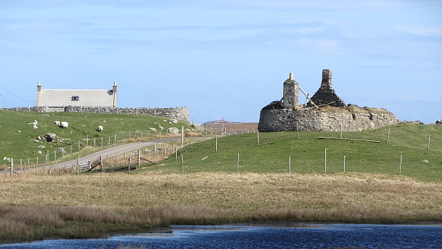
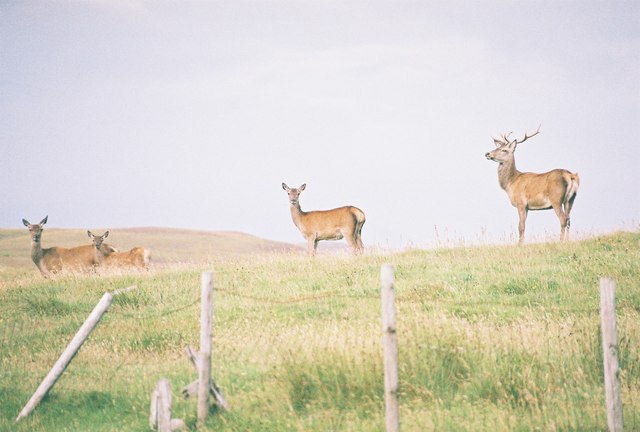
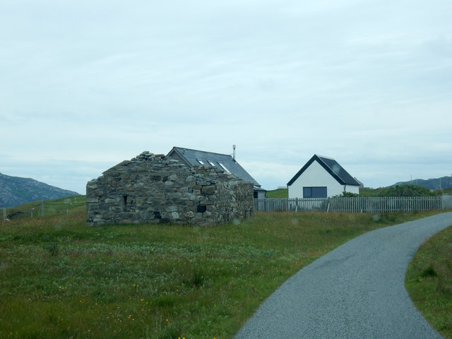
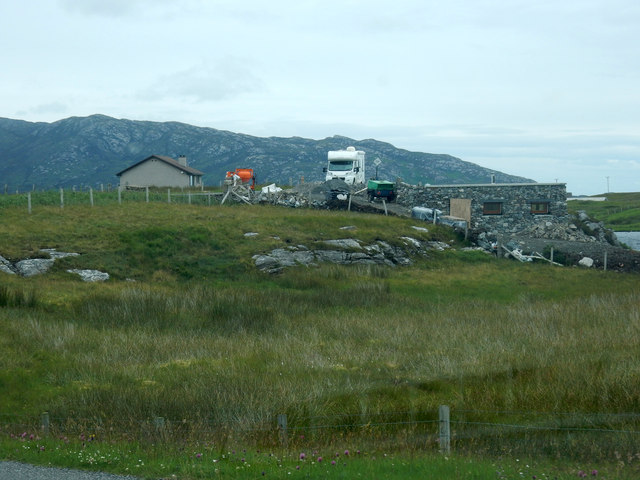
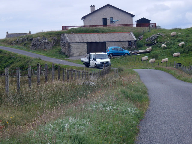
Loch na Ceithir-Eileana Images

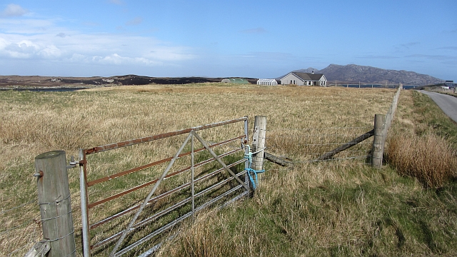
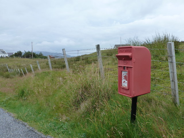
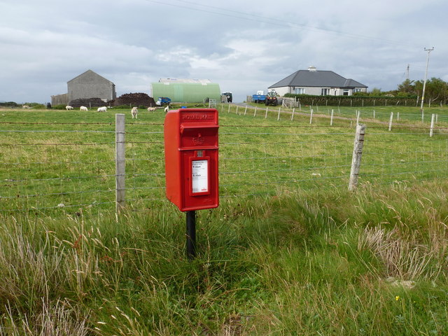
Images are sourced within 2km of 57.544956/-7.2419071 or Grid Reference NF8662. Thanks to Geograph Open Source API. All images are credited.

The community of Locheport on the shore of Loch Eport Seen from the circular way-marked path on Beinn Langais as it leaves the summit and descends to the Pobull Fhinn stone circle.
The community of Locheport on the shore of Loch Eport
Seen from the circular way-marked path on Beinn Langais as it leaves the summit and descends to the Pobull Fhinn stone circle.
Field, Loch Euphort It looks rough, but these fields show up as a green area against the moors when seen from the hills.
Field, Loch Euphort
It looks rough, but these fields show up as a green area against the moors when seen from the hills.
End of the B894 The road continues with a sharp bend to Saighdinis, only now coloured yellow on the maps.
End of the B894
The road continues with a sharp bend to Saighdinis, only now coloured yellow on the maps.
Locheport: postbox № HS6 8 A small postbox serving this small community, it is emptied at 9 o'clock on weekday mornings and half an hour earlier on Saturdays.
Locheport: postbox № HS6 8
A small postbox serving this small community, it is emptied at 9 o'clock on weekday mornings and half an hour earlier on Saturdays.
Sidinish: postbox № HS6 20 and the old post office This postbox stands outside the old post office, which was in the building to the right. See <a href="https://www.geograph.org.uk/photo/854445">NF8763 : Sidinish Post Office</a> for a picture of the post office when it was operational.

The post office had opened in the early part of 1930 but fell victim to the Network Change programme - in which 2,500 branches nationwide were axed - and its last day of business was 21 July 2008.
Sidinish: postbox № HS6 20 and the old post office
This postbox stands outside the old post office, which was in the building to the right. See NF8763 : Sidinish Post Office for a picture of the post office when it was operational. The post office had opened in the early part of 1930 but fell victim to the Network Change programme - in which 2,500 branches nationwide were axed - and its last day of business was 21 July 2008.
Saighdinis A settlement strung out along the southern shore of Loch Euphort.
Saighdinis
A settlement strung out along the southern shore of Loch Euphort.
Saighdinis A ruin beside the road along Loch Euphort.
Saighdinis
A ruin beside the road along Loch Euphort.
Locheport: a deer behind a ruin This rather magnificent creature was as surprised to see me as I was to see him when I stopped the car to take a quick photo looking across the loch. He was with several others.
Locheport: a deer behind a ruin
This rather magnificent creature was as surprised to see me as I was to see him when I stopped the car to take a quick photo looking across the loch. He was with several others.
Locheport: four deer look at me These deer were roused by my stopping the car to take a picture, at which point I had no idea they were there.
Locheport: four deer look at me
These deer were roused by my stopping the car to take a picture, at which point I had no idea they were there.
Locheport: two deer dart across the B894 Having roused a group of deer as I got out of the car to take a photo across the loch, unaware of their presence, after a bit of mutual bluffing these two deer darted across the road, leaping rather noisily over the fences on each side of the road.

I was a little too slow with the camera so the one on the right is not quite fully in shot.
Locheport: two deer dart across the B894
Having roused a group of deer as I got out of the car to take a photo across the loch, unaware of their presence, after a bit of mutual bluffing these two deer darted across the road, leaping rather noisily over the fences on each side of the road. I was a little too slow with the camera so the one on the right is not quite fully in shot.
Minor road, Saighdinis The road along the southern shore of Loch Euphort.
Minor road, Saighdinis
The road along the southern shore of Loch Euphort.
Loch Carabhat - Dragonfly Four-spotted Chaser resting on the heather near Loch Carabhat
Loch Carabhat - Dragonfly
Four-spotted Chaser resting on the heather near Loch Carabhat
Bin and postbox Due to wind, all the postboxes in North Uist have flaps.
Bin and postbox
Due to wind, all the postboxes in North Uist have flaps.
Ruin by the road Most ruins along this road look very robust.
Ruin by the road
Most ruins along this road look very robust.
Building site Looks like that are building a house at the right of the picture
Building site
Looks like that are building a house at the right of the picture
Bungalow on the edge A group of us actually stayed in this bungalow, the first time we visited North Uist. We did not notice the drop until we began looking round. It looks as if the workshop is in a small quarry,
Bungalow on the edge
A group of us actually stayed in this bungalow, the first time we visited North Uist. We did not notice the drop until we began looking round. It looks as if the workshop is in a small quarry,
Artist Studio I think the building behind the power line pole is one of the artist studios on this road
Artist Studio
I think the building behind the power line pole is one of the artist studios on this road
Tigh Alasdair - cottage near Saighdinis On a rise with Loch Euphort (a sea loch) behind and Loch a'Ghoill (fresh water) towards the camera.
Tigh Alasdair - cottage near Saighdinis
On a rise with Loch Euphort (a sea loch) behind and Loch a'Ghoill (fresh water) towards the camera.
Show me another place!

Loch na Ceithir-Eileana is located at Grid Ref: NF8662 (Lat: 57.544956, Lng: -7.2419071)

Unitary Authority: Na h-Eileanan an Iar

Police Authority: Highlands and Islands

What 3 Words

///strange.fabricate.across. Near Lochmaddy, Na h-Eileanan Siar

Related Wikis

Fraoch-Eilean

Fraoch-eilean is a small island with an uncertain population north of Benbecula in the Outer Hebrides of Scotland. It is about 55 hectares (140 acres...

Carinish

Carinish (Scottish Gaelic: Càirinis), is a hamlet on North Uist, in the Outer Hebrides, Scotland. It is in the south of the island, about two miles (three...

Battle of Carinish

The Battle of Carinish was a Scottish clan battle fought in North Uist in 1601. It was part of a year of feuding between Clan MacLeod of Dunvegan and the...

Baile Glas

Baile Glas or Ballaglasa (Scottish Gaelic: Am Baile Glas) is a settlement on Grimsay in the Outer Hebrides, Scotland. Ballaglasa is within the parish of...

Nearby Amenities

Located within 500m of 57.544956,-7.2419071
The data included in this document is from www.openstreetmap.org. The data is made available under ODbL.

Have you been to Loch na Ceithir-Eileana?

Leave your review of Loch na Ceithir-Eileana below (or comments, questions and feedback).