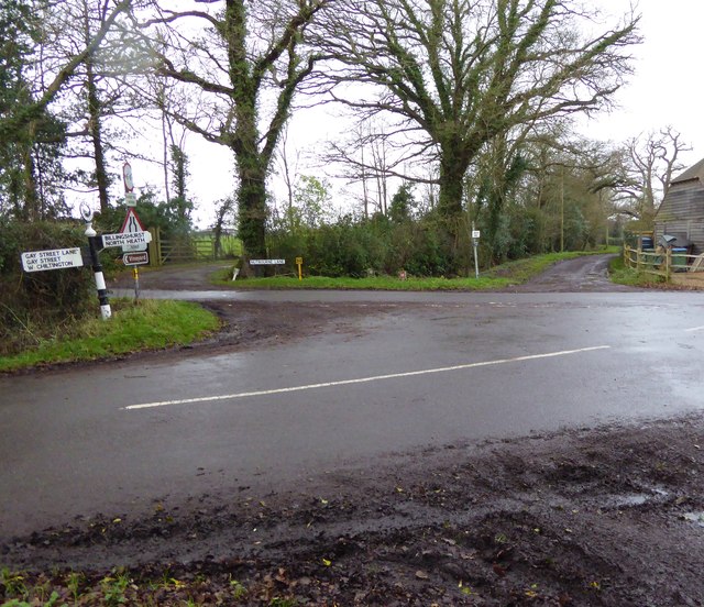
Gay Street

Settlement in Sussex Horsham

England

Gay Street

Gateway with a view Looking westwards from the West Sussex Literary Trail.
Gateway with a view Credit: Chris Thomas-Atkin

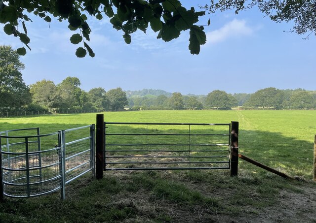
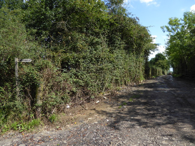
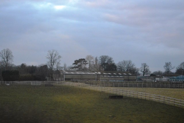
Gay Street is a charming and historic street located in Sussex, England. Situated in a picturesque rural setting, it offers a unique blend of natural beauty and architectural splendor. The street is lined with beautifully preserved 17th-century cottages, each with its own distinctive character and charm.

One of the notable features of Gay Street is its quaint and tranquil atmosphere. The absence of heavy traffic and the abundance of greenery create a peaceful ambiance, making it an ideal place for residents and visitors seeking a quiet retreat from the hustle and bustle of city life.

The street is also home to a range of amenities and services, including a post office, a small grocery store, and a cozy tearoom. These establishments contribute to the sense of community that pervades Gay Street, fostering a friendly and welcoming environment for its residents.

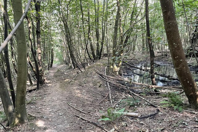
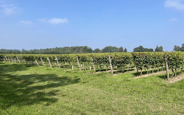
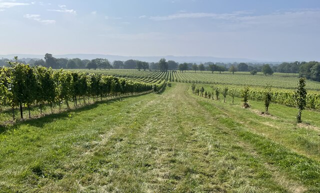
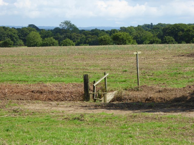
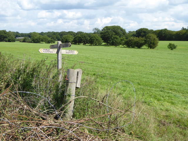
Surrounded by rolling hills and lush countryside, Gay Street offers numerous opportunities for outdoor activities and exploration. The nearby Sussex Downs provide a picturesque backdrop for hiking, cycling, and horseback riding, while the quaint villages in the vicinity offer delightful options for countryside strolls.

Overall, Gay Street, Sussex is a hidden gem that seamlessly combines historical charm with natural beauty. Its idyllic setting and welcoming community make it an enchanting destination for those seeking a peaceful and picturesque retreat in the heart of rural England.

If you have any feedback on the listing, please let us know in the comments section below.

Gay Street Images

Images are sourced within 2km of 50.975054/-0.460928 or Grid Reference TQ0820. Thanks to Geograph Open Source API. All images are credited.

Gateway with a view Looking westwards from the West Sussex Literary Trail.
Gateway with a view
Looking westwards from the West Sussex Literary Trail.
West Sussex Literary Trail Passing through unnamed woodland near Woods Hill.
West Sussex Literary Trail
Passing through unnamed woodland near Woods Hill.
Nyetimber Vines Vines beside the West Sussex Literary Trail at Nyetimber Vineyard.
Nyetimber Vines
Vines beside the West Sussex Literary Trail at Nyetimber Vineyard.
Vines as far as you can see The extensive vines at Nyetimber Vineyard with the distant backdrop of the South Downs.
Vines as far as you can see
The extensive vines at Nyetimber Vineyard with the distant backdrop of the South Downs.
Junction of footpath and bridleway west of Borough Farm
The gates at Borough Farm The footpath is on the extreme left of the image.
The gates at Borough Farm
The footpath is on the extreme left of the image.
Looking across Nutbourne Lane at Beedings drive
Entrance to Redfold Vineyards See also <a title="https://www.geograph.org.uk/photo/2225927" href="https://www.geograph.org.uk/photo/2225927">Link</a> from 2011.
Entrance to Redfold Vineyards
See also Link from 2011.
Track heading east from Broadford Bridge Road This is signed as a public footpath but is not mapped as a public right of way.
Track heading east from Broadford Bridge Road
This is signed as a public footpath but is not mapped as a public right of way.
Footpath bridge over ditch by High Copse Farm
Crossing of footpaths east of Broadford Bridge Road
Todhurst Farm
Todhurst Farm
Junction of Nutbourne and Gay Street Lanes with crossing footpath For a view the other way see <a title="https://www.geograph.org.uk/photo/298829" href="https://www.geograph.org.uk/photo/298829">Link</a>.
Junction of Nutbourne and Gay Street Lanes with crossing footpath
For a view the other way see Link.
Footpath goes west from Nutbourne Lane
Footpath goes east from Gay Street Lane
Dog at crossing paths The animal was very muddy but friendly and we hit it off.
For a view the other way see <a title="https://www.geograph.org.uk/photo/4377803" href="https://www.geograph.org.uk/photo/4377803">Link</a>.
Dog at crossing paths
The animal was very muddy but friendly and we hit it off. For a view the other way see Link.
A bit of a mess at footpath junction The canine guardian of the crossing paths (see <a href="https://www.geograph.org.uk/photo/4771062">TQ0721 : Dog at crossing paths</a>) can be seen on the extreme left beyond the pile of rubble.
A bit of a mess at footpath junction
The canine guardian of the crossing paths (see TQ0721 : Dog at crossing paths) can be seen on the extreme left beyond the pile of rubble.
Footpath crosses stream on plank bridge See also <a title="https://www.geograph.org.uk/photo/4377984" href="https://www.geograph.org.uk/photo/4377984">Link</a> for a picture earlier in the year.
Footpath crosses stream on plank bridge
See also Link for a picture earlier in the year.
Show me another place!

Gay Street is located at Grid Ref: TQ0820 (Lat: 50.975054, Lng: -0.460928)

Administrative County: West Sussex

District: Horsham

Police Authority: Sussex

What 3 Words

///fidgeted.stag.spectacle. Near Pulborough, West Sussex

Related Wikis

Gay Street, West Sussex

Gay Street is a hamlet in the Horsham District of West Sussex, England. It lies on the North Heath to West Chiltington road 1.9 miles (3.1 km) northeast...

Pulborough (electoral division)

Pulborough is an electoral division of West Sussex in the United Kingdom and returns one member to sit on West Sussex County Council. The current County...

North Heath

North Heath is a hamlet in the Horsham District of West Sussex, England. It lies just off the A29 road 1.9 miles (3 km) north of Pulborough. The Brinsbury...
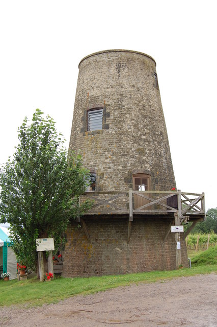
Nutbourne Windmill

Nutbourne Windmill is a tower mill at Nutbourne, Sussex, England which has been converted to retail use. == History == Nutbourne Windmill was built in...

Nutbourne, Horsham

Nutbourne is a hamlet running north–south situated 1.5 miles (2.4 km) east of Pulborough in the Horsham District of West Sussex and is in Pulborough civil...

West Chiltington

West Chiltington is a village and civil parish in the Horsham district of West Sussex, England. It lies on the Storrington to Broadford Bridge road, 2...

Geoffrey Woolley

Geoffrey Harold Woolley, (14 May 1892 – 10 December 1968) was a British Army infantry officer, Church of England priest, and Second World War military...

Henry Bowreman Foote

Major General Henry Robert Bowreman Foote, (5 December 1904 – 11 November 1993) was a British Army officer and a recipient of the Victoria Cross, the...

Nearby Amenities

Located within 500m of 50.975054,-0.460928
Gay Street
Created By: POI Editor
Place: hamlet
Source: npe
Wikidata: Q5528645
Lat/Long: 50.9776393/-0.4588414
Post Box
Ref: RH20 50
Lat/Long: 50.9722296/-0.4617494
Ford: yes
Lat/Long: 50.9711461/-0.4586624
Gaywood Farm
Place: isolated_dwelling
Lat/Long: 50.9744489/-0.4604247
Hayes Farm
Place: farm
Lat/Long: 50.9774952/-0.4593665
The data included in this document is from www.openstreetmap.org. The data is made available under ODbL.

Have you been to Gay Street?

Leave your review of Gay Street below (or comments, questions and feedback).