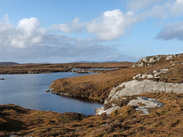
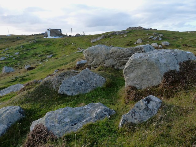
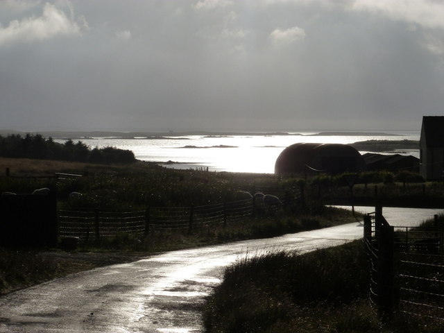
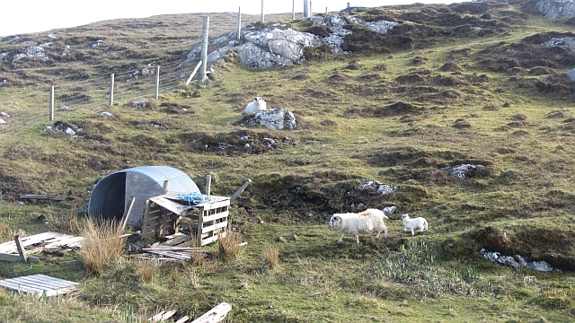
Loch Nighe
Lake, Pool, Pond, Freshwater Marsh in Inverness-shire
Scotland
Loch Nighe

The requested URL returned error: 429 Too Many Requests
If you have any feedback on the listing, please let us know in the comments section below.
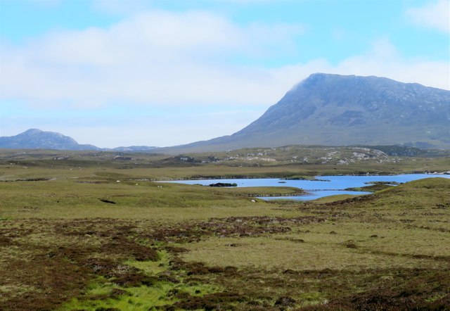
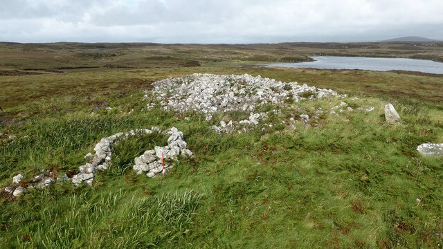
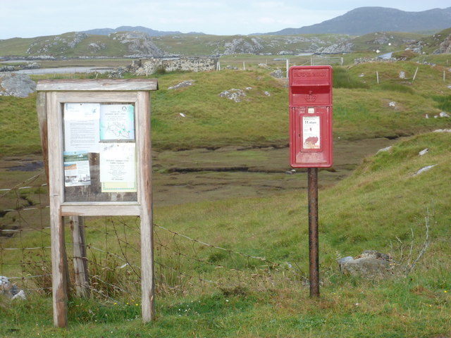
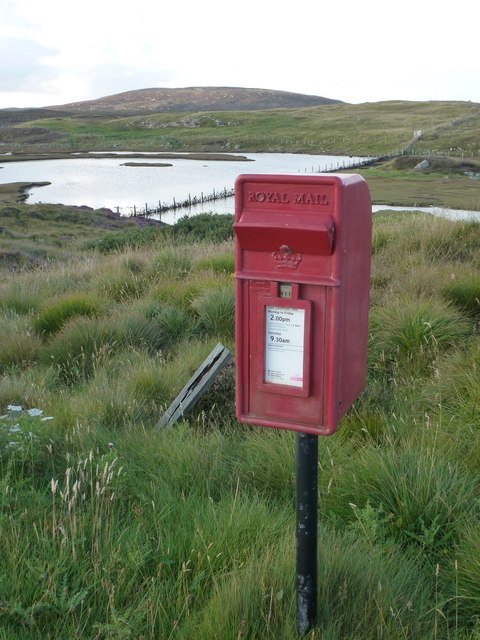
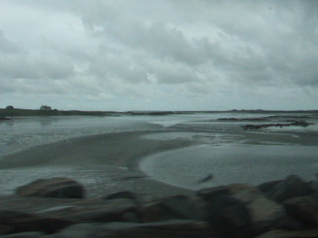
Loch Nighe Images
Images are sourced within 2km of 57.516351/-7.2574246 or Grid Reference NF8559. Thanks to Geograph Open Source API. All images are credited.


Loch Nighe is located at Grid Ref: NF8559 (Lat: 57.516351, Lng: -7.2574246)
Unitary Authority: Na h-Eileanan an Iar
Police Authority: Highlands and Islands
What 3 Words
///define.lavished.chatters. Near Balivanich, Na h-Eileanan Siar
Nearby Locations
Related Wikis

Fraoch-Eilean
Fraoch-eilean is a small island with an uncertain population north of Benbecula in the Outer Hebrides of Scotland. It is about 55 hectares (140 acres...

Baile Glas
Baile Glas or Ballaglasa (Scottish Gaelic: Am Baile Glas) is a settlement on Grimsay in the Outer Hebrides, Scotland. Ballaglasa is within the parish of...

Grimsay
Grimsay (Scottish Gaelic: Griomasaigh) is a tidal island in the Outer Hebrides of Scotland. == Geography == Grimsay is the largest of the low-lying stepping...

Carinish
Carinish (Scottish Gaelic: Càirinis), is a hamlet on North Uist, in the Outer Hebrides, Scotland. It is in the south of the island, about two miles (three...
Nearby Amenities
Located within 500m of 57.516351,-7.2574246Have you been to Loch Nighe?
Leave your review of Loch Nighe below (or comments, questions and feedback).