Loch Beag

Lake, Pool, Pond, Freshwater Marsh in Inverness-shire

Scotland

Loch Beag

Ocean on the west side of the causeway to North Uist
Ocean on the west side of the causeway to North Uist Credit: Gordon Brown

Loch Beag is a small freshwater loch located in Inverness-shire, Scotland. It is situated near the village of Drumnadrochit and is part of the famous Loch Ness region. The loch covers an area of approximately 10 acres and has a maximum depth of around 15 feet.

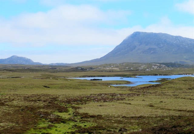
Surrounded by lush greenery and rolling hills, Loch Beag is a picturesque spot that offers tranquility and natural beauty to visitors. The waters of the loch are crystal clear and teeming with various species of fish, making it a popular destination for fishing enthusiasts.

The surrounding area is home to a variety of wildlife, including birds, otters, and deer, making Loch Beag a haven for nature lovers. Visitors can enjoy leisurely walks along the shore, picnics by the water, or simply take in the stunning views of the surrounding landscape.

Overall, Loch Beag is a peaceful and idyllic spot that offers a welcome retreat from the hustle and bustle of everyday life. Whether you're looking to relax and unwind or explore the natural beauty of the Scottish Highlands, Loch Beag is a must-visit destination.

If you have any feedback on the listing, please let us know in the comments section below.
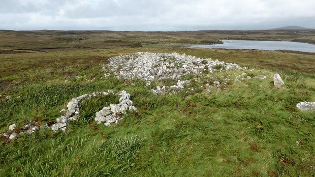
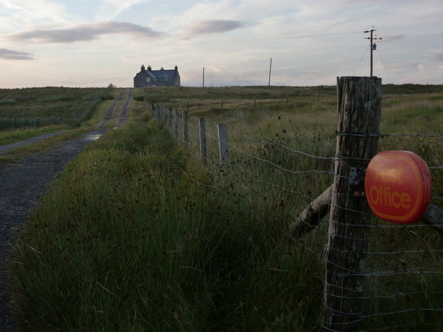
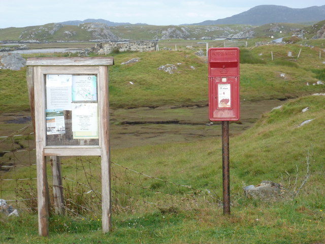
Loch Beag Images

Images are sourced within 2km of 57.513757/-7.260495 or Grid Reference NF8559. Thanks to Geograph Open Source API. All images are credited.
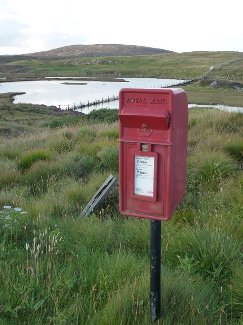
Ocean on the west side of the causeway to North Uist
NCN780 on Grimsay Looking east, Loch an Fhaing on the left and Eaval, North Uist, in the distance.
NCN780 on Grimsay
Looking east, Loch an Fhaing on the left and Eaval, North Uist, in the distance.
Signpost on Grimsay The house beyond the end of Loch an Fhaing is marked as a Post Office on the map, but the may not be up to date information.
Signpost on Grimsay
The house beyond the end of Loch an Fhaing is marked as a Post Office on the map, but the may not be up to date information.
Bus stop and post box on Grimsay At the road-end of a loop that leaves the main road [A865].
Bus stop and post box on Grimsay
At the road-end of a loop that leaves the main road [A865].
Near Gearraidh Dubh
Near Gearraidh Dubh
Gairbh-eilean
Gairbh-eilean
Barp Hacklett Cairn One cannot be absolutely sure if this is the cairn as the OS map doesn't give a detailed site, but as it is the only pile of stones on a green protuberance on an otherwise rather squelchy moor, then one would suggest that this is it.
Barp Hacklett Cairn
One cannot be absolutely sure if this is the cairn as the OS map doesn't give a detailed site, but as it is the only pile of stones on a green protuberance on an otherwise rather squelchy moor, then one would suggest that this is it.
Moorcroft Campsite at low tide
Eilean an t-Seagail Seating located at a parking spot just off the A865 near Baile Glas on Benbecula.
Eilean an t-Seagail
Seating located at a parking spot just off the A865 near Baile Glas on Benbecula.
View towards Loch nan Garbh Chlachan Peat and heather moorland stretch away towards the shores of Loch nan Garbh Chlachan where a line of stepping stones are visible, beyond which in an adjoining square is Dun Ban on an islet. Magnifying the image brings up what looks like some remains of walls at the dun. In the distance is the familiar outline of Eabhal.
View towards Loch nan Garbh Chlachan
Peat and heather moorland stretch away towards the shores of Loch nan Garbh Chlachan where a line of stepping stones are visible, beyond which in an adjoining square is Dun Ban on an islet. Magnifying the image brings up what looks like some remains of walls at the dun. In the distance is the familiar outline of Eabhal.
Caravat Barp chambered cairn and shieling Large Neolithic long cairn and later historic shieling or shelter (Scale 1m). <span class="nowrap"><a title="https://canmore.org.uk/site/10254/north-uist-carinish-caravat-barp" rel="nofollow ugc noopener" href="https://canmore.org.uk/site/10254/north-uist-carinish-caravat-barp">Link</a><img style="margin-left:2px;" alt="External link" title="External link - shift click to open in new window" src="https://s1.geograph.org.uk/img/external.png" width="10" height="10"/></span>
Caravat Barp chambered cairn and shieling
Large Neolithic long cairn and later historic shieling or shelter (Scale 1m). LinkExternal link
Thatch at Cladach Chairinis
Baile Glas, Grimsay Hamlet on the causewayed road between Benbecula and North Uist.
<span class="nowrap"><a title="http://www.isle-of-benbecula.co.uk/" rel="nofollow ugc noopener" href="http://www.isle-of-benbecula.co.uk/">Link</a><img style="margin-left:2px;" alt="External link" title="External link - shift click to open in new window" src="https://s1.geograph.org.uk/img/external.png" width="10" height="10"/></span>
Baile Glas, Grimsay
Hamlet on the causewayed road between Benbecula and North Uist. LinkExternal link
Sand Flats at Grimsay Tidal flats between Grimsay (foreground) and North Uist (background). Eaval / Eabhal is the distinctive mountain.
Sand Flats at Grimsay
Tidal flats between Grimsay (foreground) and North Uist (background). Eaval / Eabhal is the distinctive mountain.
Grimsay: the post office The island has had a post office since 2 May 1880 and its current location is in a room of the subpostmistress's house, visible here at the end of her long track driveway. The familiar oval sign stands at the end of the drive.

The post office is open for business from 9am, until 12 noon on Mondays and Tuesdays and for an hour longer on Wednesdays.
Grimsay: the post office
The island has had a post office since 2 May 1880 and its current location is in a room of the subpostmistress's house, visible here at the end of her long track driveway. The familiar oval sign stands at the end of the drive. The post office is open for business from 9am, until 12 noon on Mondays and Tuesdays and for an hour longer on Wednesdays.
Grimsay: postbox № HS6 32 One of four postboxes on the island of Grimsay, this postbox stands at a road junction on the A865 close to the post office (<a href="https://www.geograph.org.uk/photo/3112850">NF8457 : Grimsay: the post office</a>) which is in the house in the background. It therefore might be considered the 'main' box on the island and that is reflected in its later collection times - 2pm on weekdays and at 9:45am on Saturdays.
Grimsay: postbox № HS6 32
One of four postboxes on the island of Grimsay, this postbox stands at a road junction on the A865 close to the post office (NF8457 : Grimsay: the post office) which is in the house in the background. It therefore might be considered the 'main' box on the island and that is reflected in its later collection times - 2pm on weekdays and at 9:45am on Saturdays.
Gearadu: postbox № HS6 34 One of four postboxes on the island of Grimsay. Apart from the one on the main road close to the post office, they are emptied at 11:45am on weekdays and at 9:30am on Saturdays.
Gearadu: postbox № HS6 34
One of four postboxes on the island of Grimsay. Apart from the one on the main road close to the post office, they are emptied at 11:45am on weekdays and at 9:30am on Saturdays.
Cladach Carinish: postbox № HS6 13 This small postbox is emptied at 2 o'clock on weekday afternoons and at half past nine on Saturday mornings.
Cladach Carinish: postbox № HS6 13
This small postbox is emptied at 2 o'clock on weekday afternoons and at half past nine on Saturday mornings.
Show me another place!

Loch Beag is located at Grid Ref: NF8559 (Lat: 57.513757, Lng: -7.260495)

Unitary Authority: Na h-Eileanan an Iar

Police Authority: Highlands and Islands

What 3 Words

///executive.money.bespoke. Near Balivanich, Na h-Eileanan Siar

Related Wikis

Fraoch-Eilean

Fraoch-eilean is a small island with an uncertain population north of Benbecula in the Outer Hebrides of Scotland. It is about 55 hectares (140 acres...

Baile Glas

Baile Glas or Ballaglasa (Scottish Gaelic: Am Baile Glas) is a settlement on Grimsay in the Outer Hebrides, Scotland. Ballaglasa is within the parish of...

Grimsay

Grimsay (Scottish Gaelic: Griomasaigh) is a tidal island in the Outer Hebrides of Scotland. == Geography == Grimsay is the largest of the low-lying stepping...

Carinish

Carinish (Scottish Gaelic: Càirinis), is a hamlet on North Uist, in the Outer Hebrides, Scotland. It is in the south of the island, about two miles (three...

Nearby Amenities

Located within 500m of 57.513757,-7.260495
Cladach Chàirinis
Name En: Claddach Carinish
Name Gd: Cladach Chàirinis
Place: hamlet
Lat/Long: 57.5115817/-7.2564161
Passing Place
Lat/Long: 57.5161463/-7.2662416
Power: pole
Lat/Long: 57.5143477/-7.2675446
Power: pole
Lat/Long: 57.5144486/-7.2661498
Power: pole
Lat/Long: 57.5154195/-7.2651091
Power: pole
Lat/Long: 57.5149802/-7.2639933
Power: pole
Lat/Long: 57.5145754/-7.2629687
Power: pole
Lat/Long: 57.5142685/-7.262148
Power: pole
Lat/Long: 57.5137974/-7.2609705
Power: pole
Lat/Long: 57.5132125/-7.2595114
Power: pole
Lat/Long: 57.514607/-7.2636473
Power: pole
Lat/Long: 57.5142339/-7.2626442
Power: pole
Lat/Long: 57.5139285/-7.2619629
Power: pole
Lat/Long: 57.5133047/-7.2606808
Power: pole
Lat/Long: 57.5128639/-7.2596025
Power: pole
Lat/Long: 57.5122704/-7.2583178
Power: pole
Lat/Long: 57.5128567/-7.2586155
Power: pole
Lat/Long: 57.5123482/-7.2572932
Power: pole
Lat/Long: 57.5119635/-7.2563356
Power: pole
Lat/Long: 57.511527/-7.2552225
Power: pole
Lat/Long: 57.5110861/-7.2540906
Power: pole
Lat/Long: 57.5116984/-7.2570196
Power: pole
Lat/Long: 57.511138/-7.2557509
Power: pole
Lat/Long: 57.5162109/-7.2660484
Power: pole
Lat/Long: 57.5164738/-7.2654569
Power: pole
Lat/Long: 57.5168872/-7.2644685
Power: pole
Lat/Long: 57.5171998/-7.2637283
Power: pole
Lat/Long: 57.5175844/-7.2629129
Power: pole
Lat/Long: 57.5179517/-7.2619285
Barrier: cattle_grid
Lat/Long: 57.5161377/-7.2657898
Power: pole
Lat/Long: 57.5150977/-7.2659947
Power: pole
Lat/Long: 57.5145192/-7.2650337
Power: pole
Lat/Long: 57.5148269/-7.2673734
Barrier: cattle_grid
Lat/Long: 57.5134554/-7.2638837
Passing Place
Lat/Long: 57.5128309/-7.2635397
Power: pole
Lat/Long: 57.5118153/-7.2582364
Power: pole
Lat/Long: 57.5114436/-7.2587112
Power: pole
Lat/Long: 57.511007/-7.259025
Power: pole
Lat/Long: 57.5122077/-7.2577089
Passing Place
Lat/Long: 57.5111149/-7.2595804
Passing Place
Lat/Long: 57.5134327/-7.2646471
The data included in this document is from www.openstreetmap.org. The data is made available under ODbL.

Have you been to Loch Beag?

Leave your review of Loch Beag below (or comments, questions and feedback).