Loch a' Bharpa
Lake, Pool, Pond, Freshwater Marsh in Inverness-shire
Scotland
Loch a' Bharpa

The requested URL returned error: 429 Too Many Requests
If you have any feedback on the listing, please let us know in the comments section below.
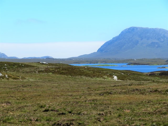
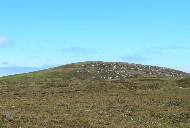
Loch a' Bharpa Images
Images are sourced within 2km of 57.523817/-7.2886261 or Grid Reference NF8360. Thanks to Geograph Open Source API. All images are credited.


Loch a' Bharpa is located at Grid Ref: NF8360 (Lat: 57.523817, Lng: -7.2886261)
Unitary Authority: Na h-Eileanan an Iar
Police Authority: Highlands and Islands
What 3 Words
///massing.hunk.toolkit. Near Balivanich, Na h-Eileanan Siar
Nearby Locations
Related Wikis

Carinish
Carinish (Scottish Gaelic: Càirinis), is a hamlet on North Uist, in the Outer Hebrides, Scotland. It is in the south of the island, about two miles (three...

Battle of Carinish
The Battle of Carinish was a Scottish clan battle fought in North Uist in 1601. It was part of a year of feuding between Clan MacLeod of Dunvegan and the...

Teampull na Trionaid
Teampull na Trionaid ("trinity church") is a ruined 13th-century Augustinian nunnery at Carinish, on North Uist, in the Outer Hebrides of Scotland. �...

Bail' Iochdrach
Bail' Iochdrach or Baliochrach (Scottish Gaelic: Am Baile Ìochdrach) is a village on Benbecula in the Outer Hebrides, Scotland. Baliochrach is within the...
Nearby Amenities
Located within 500m of 57.523817,-7.2886261Have you been to Loch a' Bharpa?
Leave your review of Loch a' Bharpa below (or comments, questions and feedback).