Austenwood
Settlement in Buckinghamshire
England
Austenwood

Austenwood is a small village situated in the county of Buckinghamshire in England. Nestled in the picturesque Chiltern Hills, it is known for its idyllic countryside setting and tranquil atmosphere. The village is located approximately 30 miles northwest of London, making it an attractive option for commuters seeking a peaceful escape from the bustling city.
Austenwood is characterized by its charming, traditional architecture, with many historic buildings dating back to the 18th and 19th centuries. The village is dotted with quaint cottages, elegant manor houses, and beautiful gardens, adding to its undeniable charm.
Despite its small size, Austenwood offers a range of amenities to its residents. The village has a local primary school, providing education for young children within the community. Additionally, there are several local shops, including a convenience store and a few independent retailers, catering to the everyday needs of the residents.
The surrounding countryside is a haven for nature lovers, with numerous walking trails and nature reserves nearby. The Chiltern Hills, designated as an Area of Outstanding Natural Beauty, offer breathtaking views and opportunities for outdoor activities such as hiking and cycling.
Austenwood benefits from its proximity to the larger towns of Beaconsfield and High Wycombe, which provide a wider range of amenities, including shopping centers, restaurants, and entertainment options. The village is also well-connected to transport links, with easy access to major roads and nearby train stations, making it a convenient base for both work and leisure.
In conclusion, Austenwood is a charming village in Buckinghamshire, offering a peaceful and picturesque countryside lifestyle, while still providing access to the amenities of nearby towns.
If you have any feedback on the listing, please let us know in the comments section below.
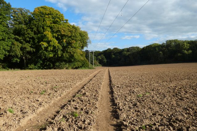
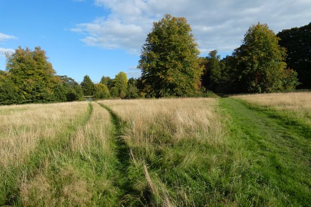
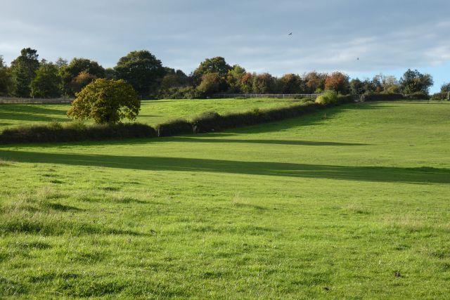
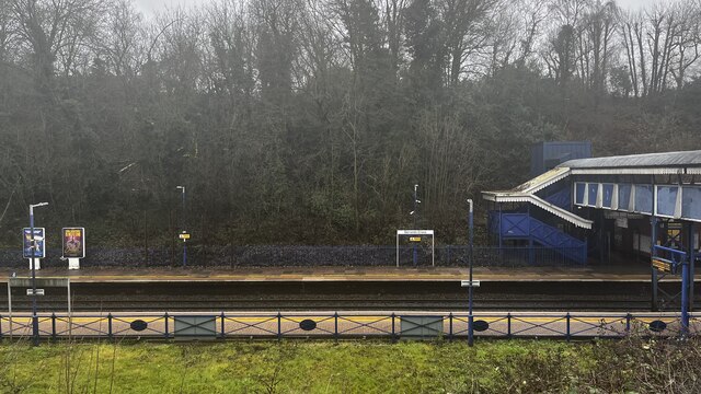
Austenwood Images
Images are sourced within 2km of 51.59951/-0.567838 or Grid Reference SU9989. Thanks to Geograph Open Source API. All images are credited.


Austenwood is located at Grid Ref: SU9989 (Lat: 51.59951, Lng: -0.567838)
Unitary Authority: Buckinghamshire
Police Authority: Thames Valley
What 3 Words
///nets.shout.focus. Near Chalfont St Peter, Buckinghamshire
Nearby Locations
Related Wikis

Chalfonts Community College
Chalfonts Community College is a co-educational secondary school in Chalfont St Peter, Buckinghamshire. It takes children from the age of 11 through to...

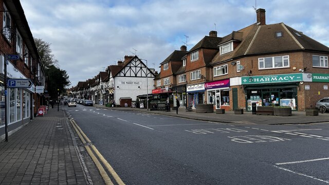
Chalfont St Peter
Chalfont St Peter is a large village and civil parish in southeastern Buckinghamshire, England. It is in a group of villages called The Chalfonts which...
St Mary's School, Gerrards Cross
St Mary’s School, Gerrards Cross is an independent day school for girls aged 3–18 situated in the heart of Gerrards Cross in South Buckinghamshire, England...
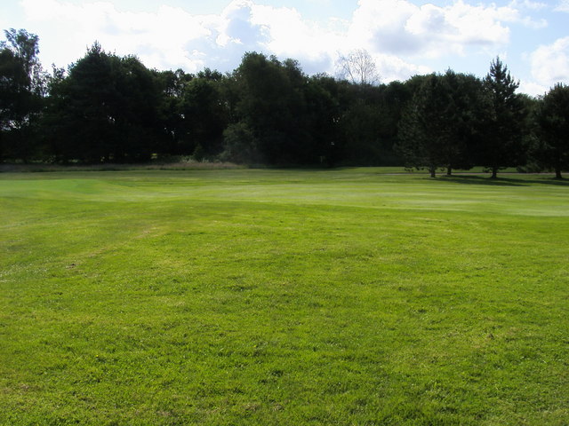
Gerrards Cross Golf Club
Gerrards Cross Golf Club is a golf club, located at Chalfont Park in Chalfont St Peter, Buckinghamshire, England. It was established in 1922. == References ==
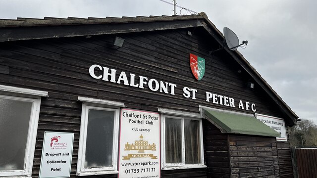
Chalfont St Peter A.F.C.
Chalfont St Peter Association Football Club is a football club based in Chalfont St Peter, Buckinghamshire, England. They are currently members of the...
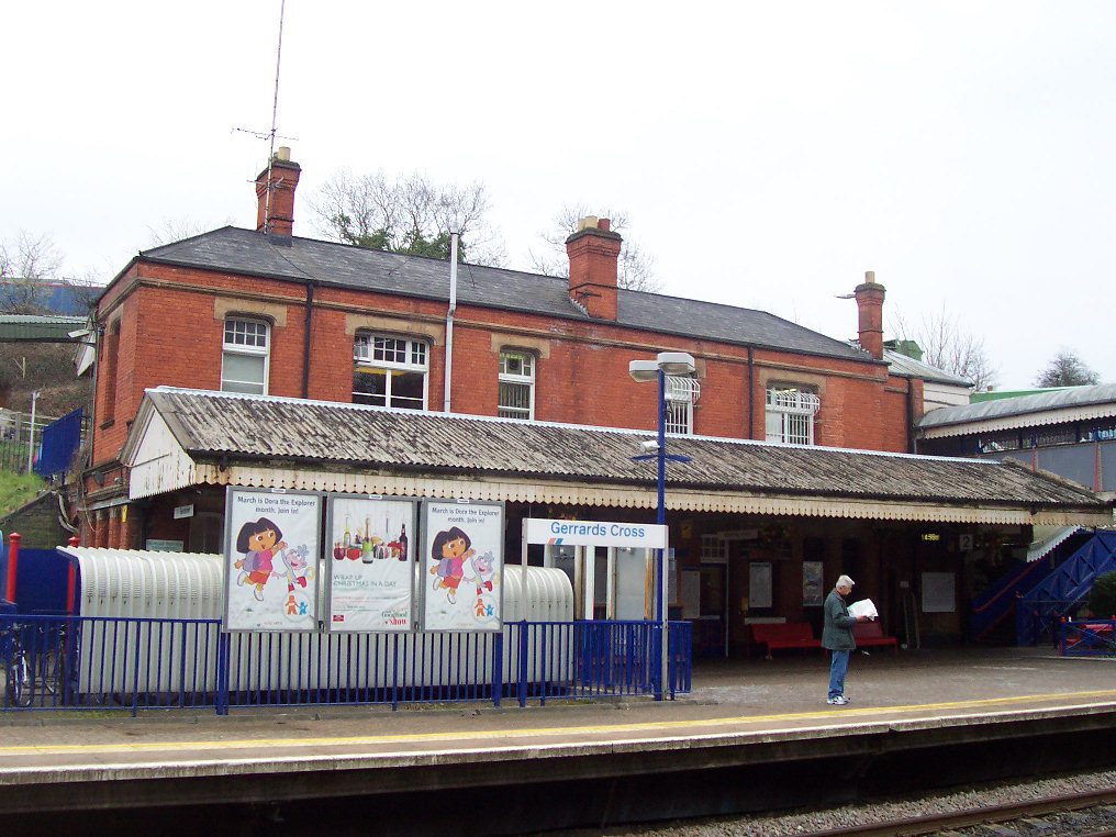
Gerrards Cross railway station
Gerrards Cross railway station is a railway station in the town of Gerrards Cross in Buckinghamshire, England. It is on the Chiltern Main Line between...

Everyman Gerrards Cross
The Everyman Gerrards Cross is a cinema located in Gerrards Cross, Buckinghamshire. Originally known as The Playhouse, it has continually served Gerrards...
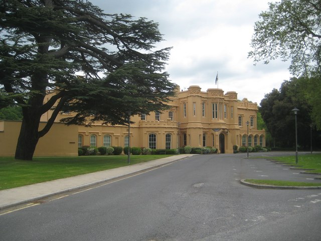
Chalfont Park
Chalfont Park, formerly known as Brudenells and Bulstrodes, is an English country house and estate near the village of Chalfont St Peter in Buckinghamshire...
Nearby Amenities
Located within 500m of 51.59951,-0.567838Have you been to Austenwood?
Leave your review of Austenwood below (or comments, questions and feedback).