Austendike
Settlement in Lincolnshire South Holland
England
Austendike
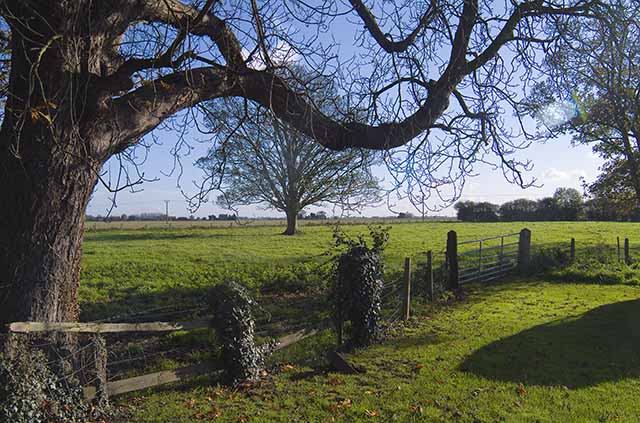
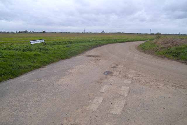
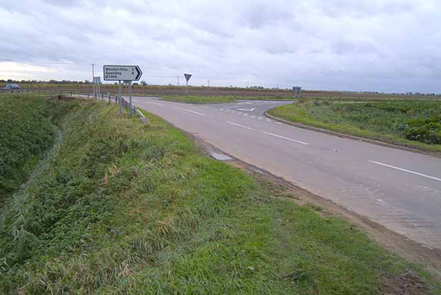
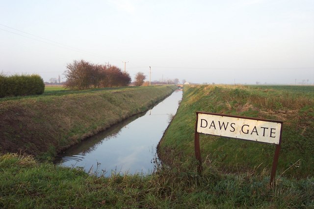
Austendike is a small village located in the county of Lincolnshire, England. Situated approximately 10 miles northwest of the city of Lincoln, it is nestled in the heart of the county's picturesque countryside. The village has a population of around 200 residents, making it a tight-knit and close community.
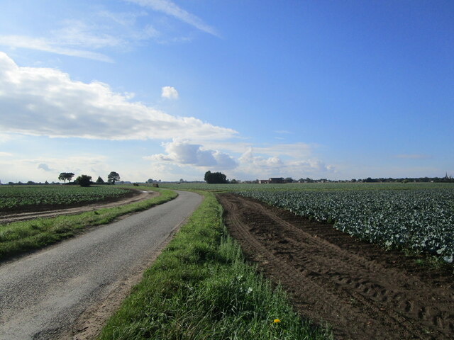
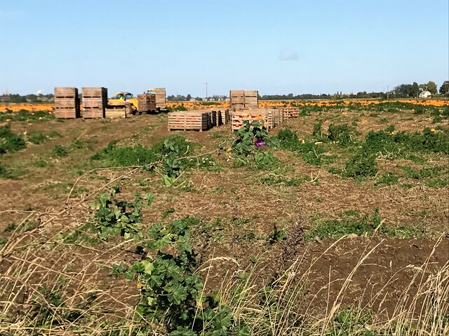
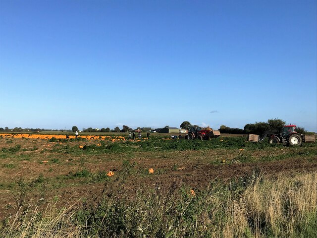
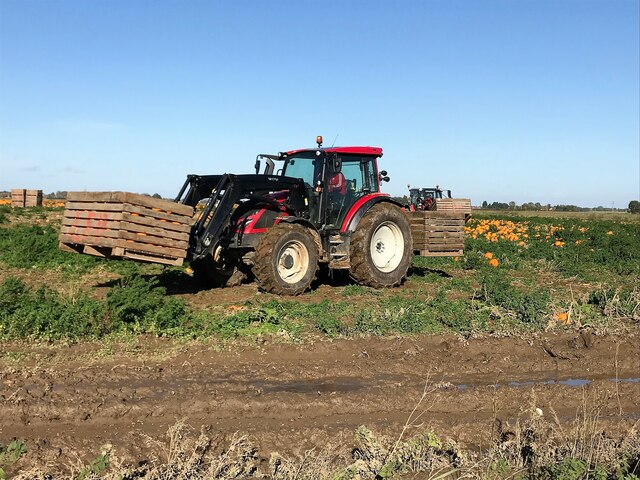
Austendike boasts a rich history that dates back centuries. The village is mentioned in the Domesday Book, a comprehensive survey of England completed in 1086. It was primarily an agricultural settlement, with farming being the main occupation of its inhabitants for many generations. Today, the village still retains its rural charm, with beautiful landscapes and farmland surrounding it.
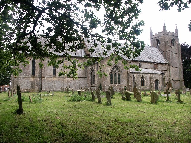
The architecture of Austendike reflects its long history. Many of its buildings are traditional Tudor-style cottages, featuring exposed timber frames and thatched roofs. The village church, St. Peter's, is a notable landmark. This Grade II listed building, dating back to the 13th century, showcases stunning medieval architecture and is an important part of Austendike's heritage.
Despite its small size, Austendike has a strong sense of community. Local events and gatherings are regularly held, fostering a close-knit atmosphere among the residents. The village also benefits from a primary school, a village hall, and a small convenience store for the convenience of its residents.
Austendike's idyllic location and historic charm make it a desirable place to live for those seeking a peaceful countryside lifestyle, while still being within easy reach of larger towns and cities.
If you have any feedback on the listing, please let us know in the comments section below.
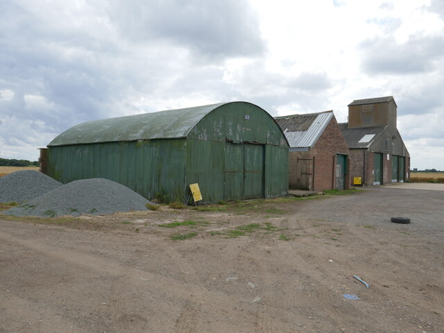
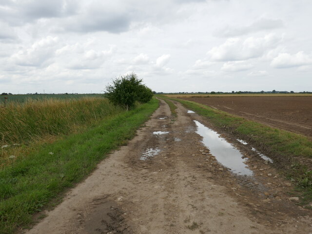
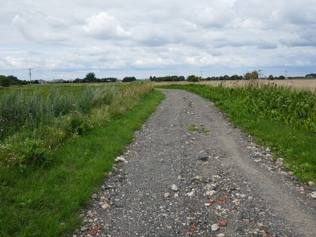
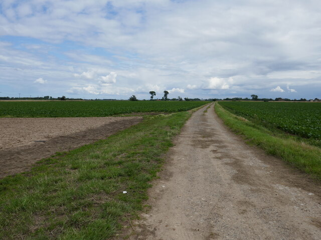
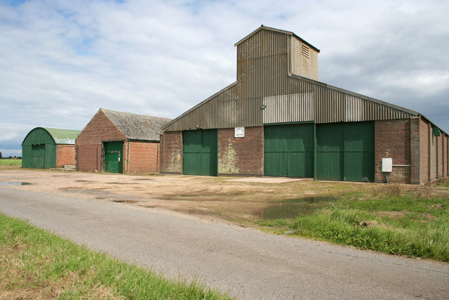
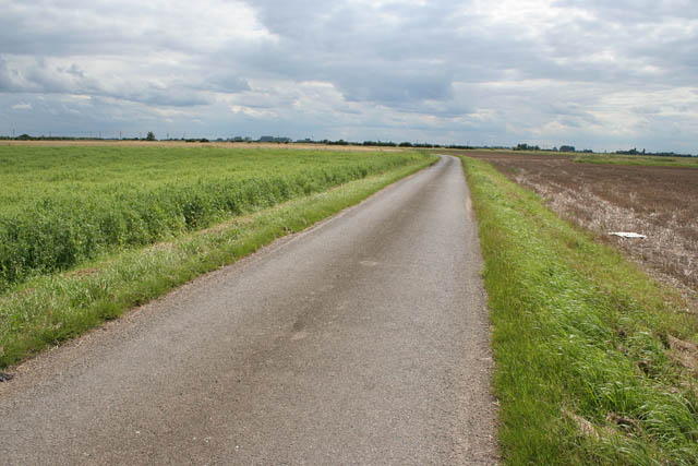
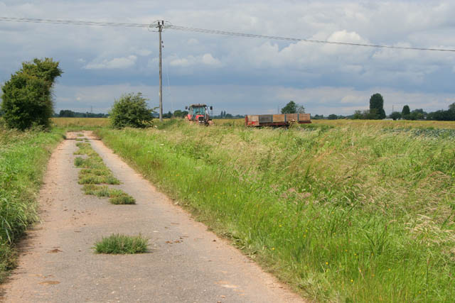
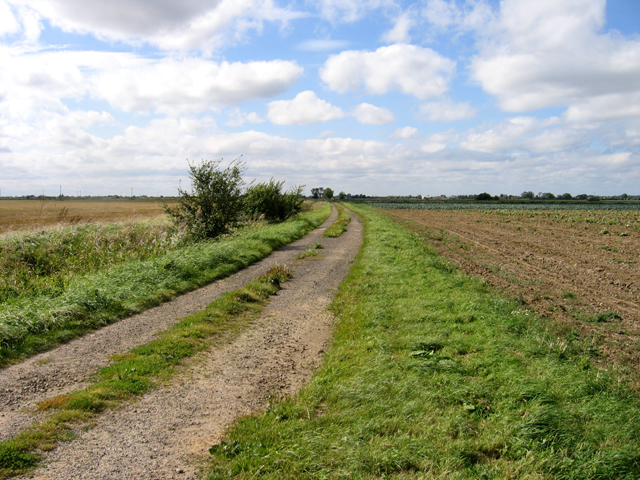
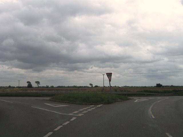
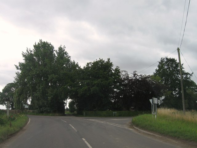
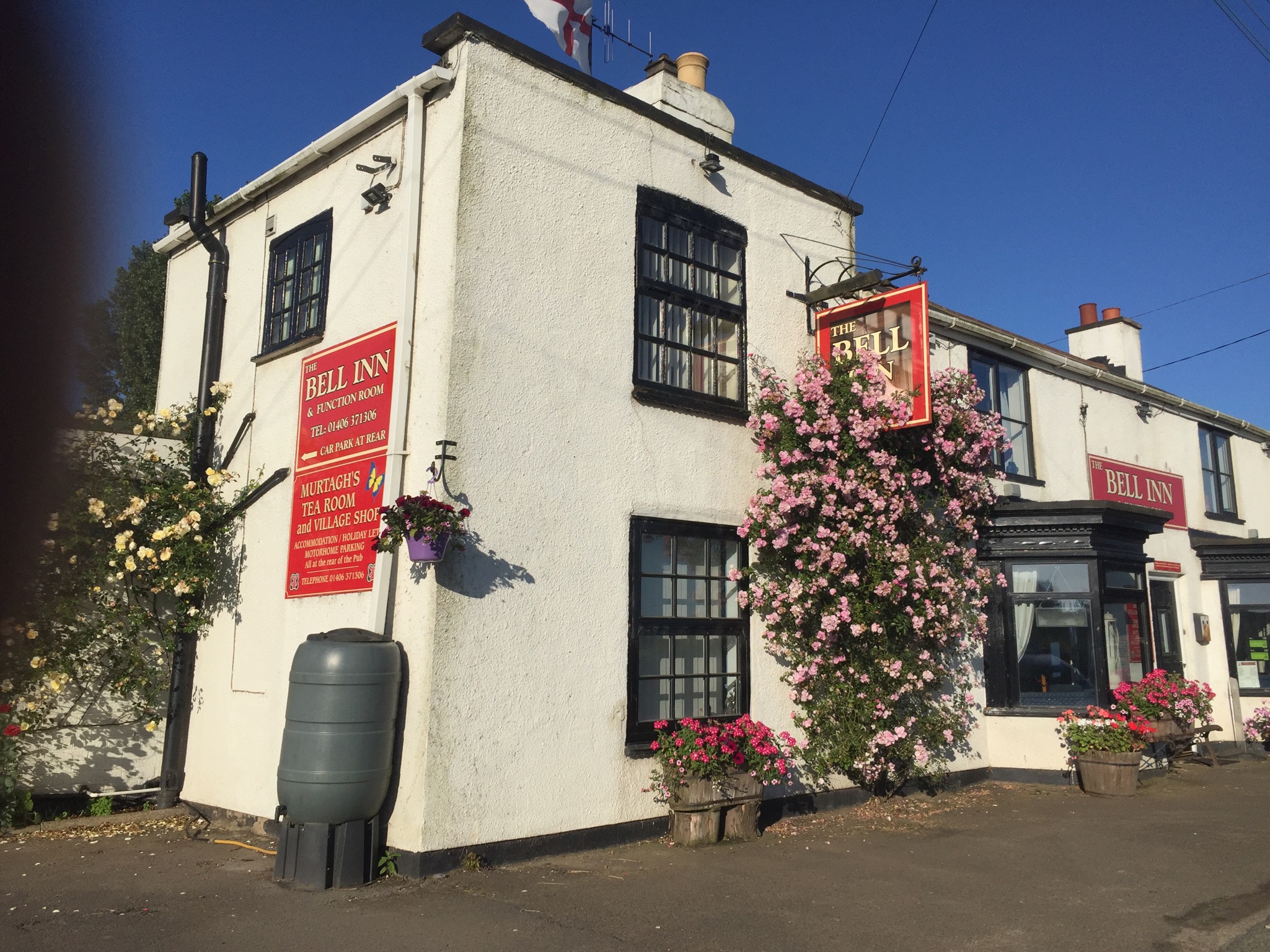
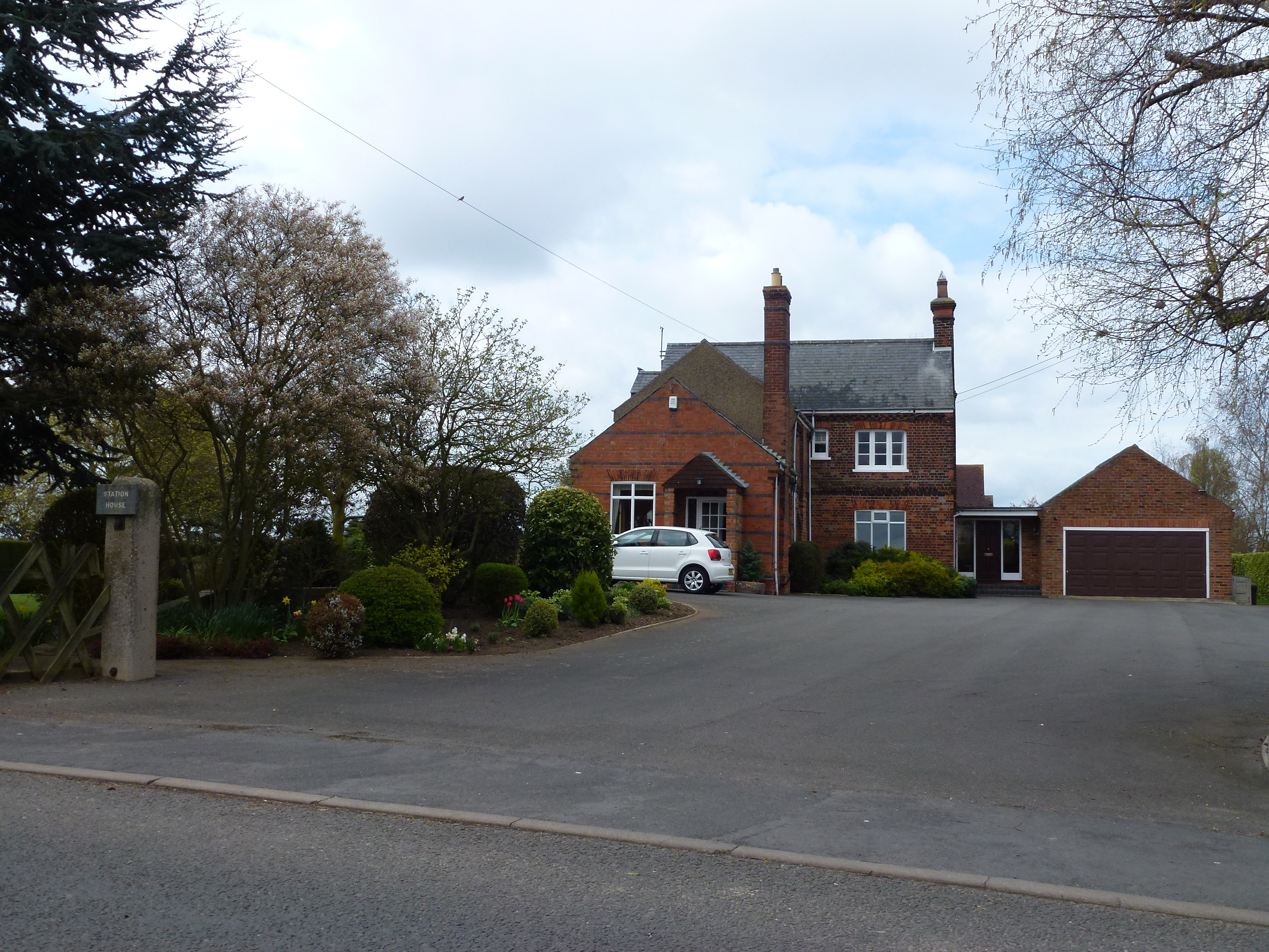
Austendike Images
Images are sourced within 2km of 52.779071/-0.077793 or Grid Reference TF2921. Thanks to Geograph Open Source API. All images are credited.
Austendike is located at Grid Ref: TF2921 (Lat: 52.779071, Lng: -0.077793)
Division: Parts of Holland
Administrative County: Lincolnshire
District: South Holland
Police Authority: Lincolnshire
What 3 Words
///paintings.scout.veto. Near Whaplode, Lincolnshire
Nearby Locations
Related Wikis

Austendike
Austendike is a village in the civil parish of Moulton in Lincolnshire, England. The population is included in the civil parish of Weston
Weston Hills, Lincolnshire
Weston Hills is a hamlet in the civil parish of Weston in the South Holland district of Lincolnshire, England. Weston Hills, a linear village on a north...
Moulton Castle
Moulton Castle, also known as King's Hall Park, is a medieval earthwork and scheduled monument situated 1.5 miles (2.4 km) to the south of Moulton, Lincolnshire...

Weston railway station (Lincolnshire)
Weston railway station was a station in Weston, Lincolnshire on the Midland and Great Northern Joint Railway, Built by the Norwich and Spalding Railway...
Moulton railway station (Lincolnshire)
Moulton (Lincolnshire) railway station was a station in Moulton, Lincolnshire. Built by the Norwich and Spalding Railway, (later Midland and Great Northern...

Moulton, Lincolnshire
Moulton is a village in the civil parish of The Moultons, in the South Holland district of Lincolnshire, England. It is situated on the A151 and B1537...

Moulton Windmill
Moulton Windmill in the Lincolnshire village of Moulton, between Spalding and Holbeach is a restored windmill claimed to be the tallest tower mill in the...
Weston, Lincolnshire
Weston is a village and civil parish in the South Holland district of Lincolnshire, England. It is situated approximately 2 miles (3 km) north-east from...
Nearby Amenities
Located within 500m of 52.779071,-0.077793Have you been to Austendike?
Leave your review of Austendike below (or comments, questions and feedback).