Loch Ceann a' Bhaigh

Lake, Pool, Pond, Freshwater Marsh in Inverness-shire

Scotland

Loch Ceann a' Bhaigh

Bridge for peat track East Loch Olaidh This bridge carries the track to peat workings to the north of Loch Ceann a' Bhaigh. The drain from Loch Olaidh was, like many on South Uist, apparently dug by Dutch engineers two centuries ago along the line of an existing burn.
Bridge for peat track East Loch Olaidh Credit: AlastairG

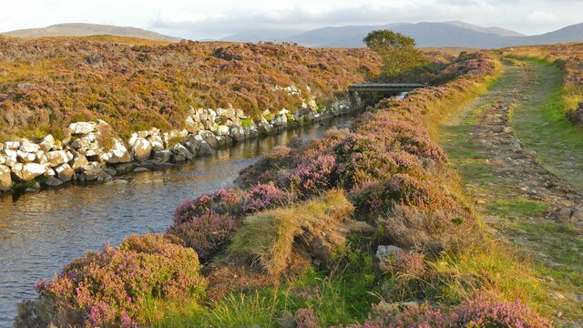
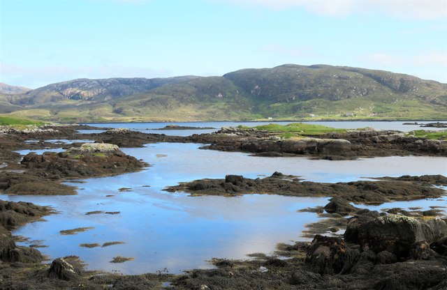
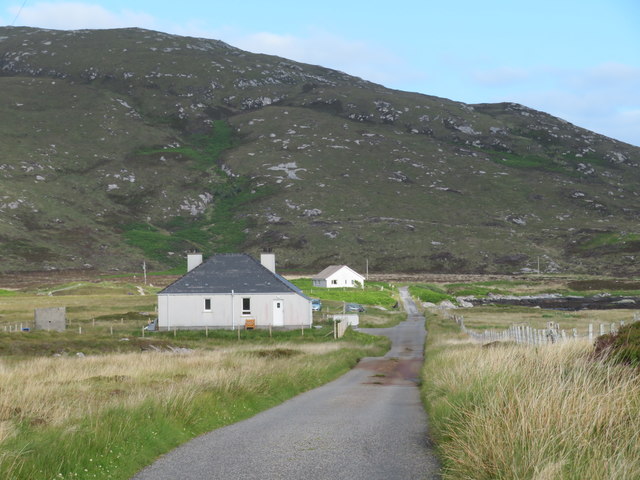
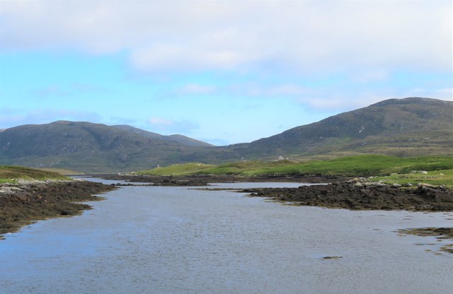
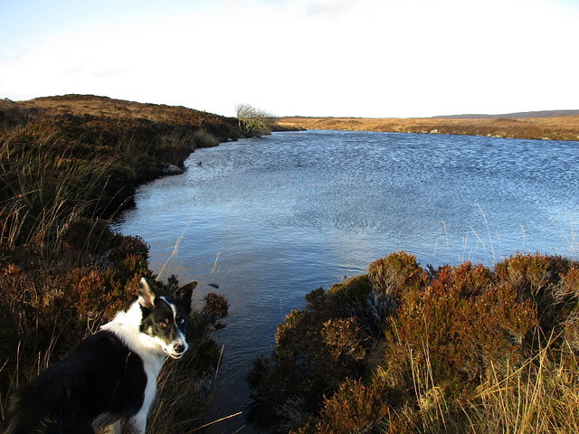
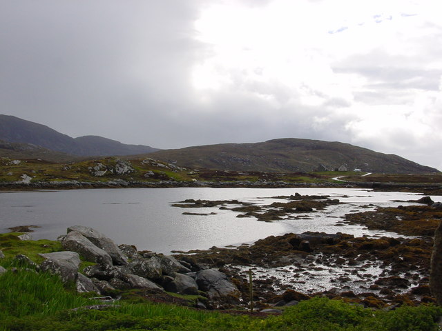
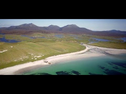
Loch Ceann a' Bhaigh, located in Inverness-shire, Scotland, is a freshwater lake that spans approximately 1.5 square kilometers. The lake is surrounded by lush greenery and rolling hills, creating a picturesque and serene setting for visitors to enjoy.

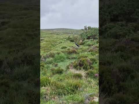
The lake is home to a variety of wildlife, including birds such as herons and ducks, as well as fish such as trout and perch. This makes it a popular spot for birdwatching and fishing enthusiasts.

The water in Loch Ceann a' Bhaigh is clear and clean, making it an ideal location for various water activities such as boating, kayaking, and swimming. The lake is also a popular spot for picnics and leisurely walks along its shoreline.

Overall, Loch Ceann a' Bhaigh is a beautiful natural area that offers visitors a peaceful retreat from the hustle and bustle of everyday life. Its tranquil waters and stunning surroundings make it a must-visit destination for nature lovers and outdoor enthusiasts alike.

If you have any feedback on the listing, please let us know in the comments section below.

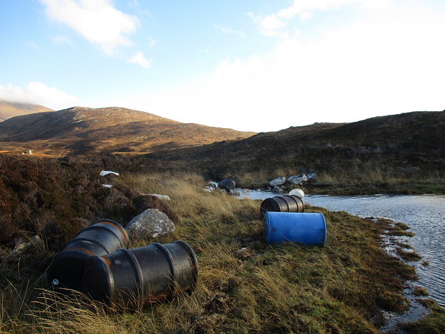
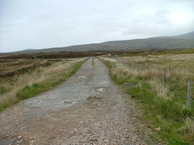
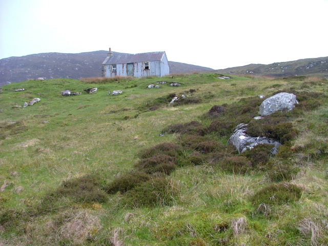
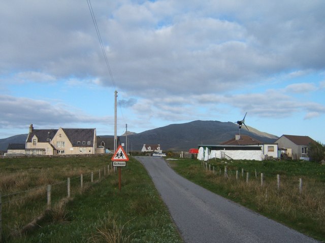
Loch Ceann a' Bhaigh Images

Images are sourced within 2km of 57.249117/-7.357136 or Grid Reference NF7730. Thanks to Geograph Open Source API. All images are credited.

Bridge for peat track East Loch Olaidh This bridge carries the track to peat workings to the north of Loch Ceann a' Bhaigh. The drain from Loch Olaidh was, like many on South Uist, apparently dug by Dutch engineers two centuries ago along the line of an existing burn.
Bridge for peat track East Loch Olaidh
This bridge carries the track to peat workings to the north of Loch Ceann a' Bhaigh. The drain from Loch Olaidh was, like many on South Uist, apparently dug by Dutch engineers two centuries ago along the line of an existing burn.
Footbridge over East Loch Olaidh exit burn This footbridge is upstream from the much more substantial one shown in  <a href="https://www.geograph.org.uk/photo/7320487">NF7630 : Bridge for peat track East Loch Olaidh</a>.  The track on the right bank of the burn continues beyond the vehicle bridge. The masonry work retaining the banks of the burn has survived well over the past 200 years.
Footbridge over East Loch Olaidh exit burn
This footbridge is upstream from the much more substantial one shown in NF7630 : Bridge for peat track East Loch Olaidh. The track on the right bank of the burn continues beyond the vehicle bridge. The masonry work retaining the banks of the burn has survived well over the past 200 years.
Looking out into Loch Aineort The view near the head of the sea loch looking towards where it begins to widen.
Looking out into Loch Aineort
The view near the head of the sea loch looking towards where it begins to widen.
The north Loch Aineort road Heading south east towards the second of two causeways across arms of this complex sea loch.
The north Loch Aineort road
Heading south east towards the second of two causeways across arms of this complex sea loch.
Head of Loch Aineort At this point one is only 4km from the west coast, but this long and convoluted sea loch is one that has its mouth on the east side of the island.
Head of Loch Aineort
At this point one is only 4km from the west coast, but this long and convoluted sea loch is one that has its mouth on the east side of the island.
Lochan A small nameless lochan draining into the nearby Loch Ceann a' Bhaigh (Bayhead).
Lochan
A small nameless lochan draining into the nearby Loch Ceann a' Bhaigh (Bayhead).
Rubbish, Loch Ceann a' Bhaigh The remains of wrecked fish farm pontoons and cages on the shores of Loch Ceann a' Bhaigh. Apparently the remaining fish farm cages are to be removed from the loch, whether all this junk gets cleared up along with them is another matter...
Rubbish, Loch Ceann a' Bhaigh
The remains of wrecked fish farm pontoons and cages on the shores of Loch Ceann a' Bhaigh. Apparently the remaining fish farm cages are to be removed from the loch, whether all this junk gets cleared up along with them is another matter...
An Carra standing stone A substantial standing stone with views of the sea. <span class="nowrap"><a title="https://canmore.org.uk/site/9886/south-uist-loch-an-athain-an-carra" rel="nofollow ugc noopener" href="https://canmore.org.uk/site/9886/south-uist-loch-an-athain-an-carra">Link</a><img style="margin-left:2px;" alt="External link" title="External link - shift click to open in new window" src="https://s1.geograph.org.uk/img/external.png" width="10" height="10"/></span>
An Carra standing stone
A substantial standing stone with views of the sea. LinkExternal link
South Uist scene This view at Taobh a Deas, looking South-east - a former 'black house' which had been modernised, but is now roofless, can be seen in the distance
South Uist scene
This view at Taobh a Deas, looking South-east - a former 'black house' which had been modernised, but is now roofless, can be seen in the distance
Beinn a' Charra Standing Stone looking west
Beinn a' Charra Standing Stone
looking west
Beinn a' Charra Standing Stone This 17 foot (5m) tall stone is probably from the 3rd Century BC
Beinn a' Charra Standing Stone
This 17 foot (5m) tall stone is probably from the 3rd Century BC
Bornish Small lochan with reedbed in foreground - looking NE across A865 (main N-S road in South Uist) towards Beinn Mhor.
Bornish
Small lochan with reedbed in foreground - looking NE across A865 (main N-S road in South Uist) towards Beinn Mhor.
Head of Loch Aineort
Old Road Part of the old A865 that runs alongside the new one.
Old Road
Part of the old A865 that runs alongside the new one.
Building Under Construction This building will house a new Learning and Development Centre.
Building Under Construction
This building will house a new Learning and Development Centre.
Track to Loch Ceann a' Bhaigh The track is used for access to the fish farm.
Track to Loch Ceann a' Bhaigh
The track is used for access to the fish farm.
Deserted Corrugated House In the early 1900's, many houses were constructed using corrugated iron then v-lined inside with wood.
Deserted Corrugated House
In the early 1900's, many houses were constructed using corrugated iron then v-lined inside with wood.
Croft Building At the head of Loch Aineort.
Croft Building
At the head of Loch Aineort.
Show me another place!

Loch Ceann a' Bhaigh is located at Grid Ref: NF7730 (Lat: 57.249117, Lng: -7.357136)

Unitary Authority: Na h-Eileanan an Iar

Police Authority: Highlands and Islands

What 3 Words

///define.pound.stub. Near Lochboisdale, Na h-Eileanan Siar

Related Wikis

Bornish

Bornish (Scottish Gaelic: Bòrnais) is a village and community council area on South Uist in the Outer Hebrides, Scotland. Bornish is also within the civil...

South Uist

South Uist (Scottish Gaelic: Uibhist a Deas, [ˈɯ.ɪʃtʲ ə ˈtʲes̪] ; Scots: Sooth Uist) is the second-largest island of the Outer Hebrides in Scotland. At...

Ormacleit Castle

Ormacleit Castle (Scottish Gaelic: Caisteal Ormacleit) is a ruined mansion house of the early 18th century. It is located on South Uist in the Western...

Stoneybridge

Stoneybridge (Scottish Gaelic: Staoinebrig) is a village on the island of South Uist in Scotland. The Crois Chnoca Breaca standing stone is situated to...

Related Videos

Wheelchair Travel in Scotland - OUTER HEBRIDES - South Uist and Eriskay (plus Benbecula!)

I'm Helen, an ambulatory wheelchair user travelling Scotland with my wife, Kirsty. In our first ever vlog we visit South Uist and ...

How not to hike in the Outer Hebrides

A bit of craziness in South Uist, Outer Hebrides @tonycuckoo4719.

South Uist On Visit To The Outer Hebrides Of Scotland

Tour Scotland travel video clip, with Scottish music, of the Island of South Uist, Scottish Gaelic: Uibhist a Deas, on visit to the Outer ...

Nearby Amenities

Located within 500m of 57.249117,-7.357136
The data included in this document is from www.openstreetmap.org. The data is made available under ODbL.

Have you been to Loch Ceann a' Bhaigh?

Leave your review of Loch Ceann a' Bhaigh below (or comments, questions and feedback).