Loch na h-Airde Faide

Lake, Pool, Pond, Freshwater Marsh in Inverness-shire

Scotland

Loch na h-Airde Faide

Ruin of St Mary's Chapel, Nunton <span class="nowrap"><a title="https://canmore.org.uk/site/9972/benbecula-nunton-ruin-of-st-marys-chapel" rel="nofollow ugc noopener" href="https://canmore.org.uk/site/9972/benbecula-nunton-ruin-of-st-marys-chapel">Link</a><img style="margin-left:2px;" alt="External link" title="External link - shift click to open in new window" src="https://s1.geograph.org.uk/img/external.png" width="10" height="10"/></span>
Ruin of St Mary's Chapel, Nunton Credit: Sandy Gerrard

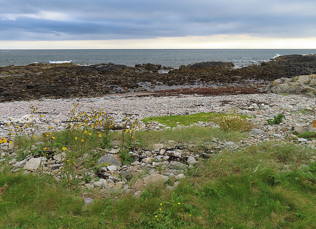
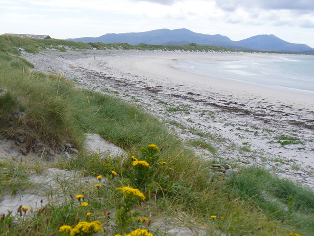
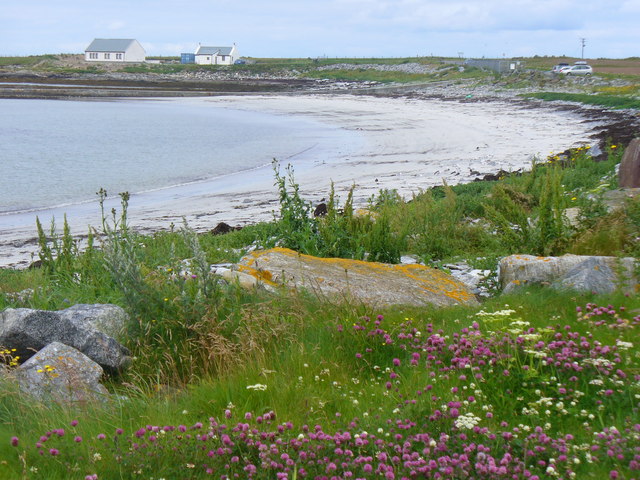
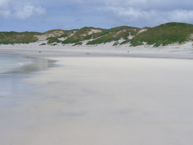
Loch na h-Airde Faide is a freshwater loch located in Inverness-shire, Scotland. It is situated in a remote and picturesque location, surrounded by rolling hills and lush greenery. The loch is relatively small in size, with a surface area of approximately 1.5 hectares.

The water in Loch na h-Airde Faide is clear and clean, making it an ideal habitat for a variety of aquatic plants and wildlife. The loch is home to a diverse range of fish species, including brown trout and perch, making it a popular spot for fishing enthusiasts.

Surrounding the loch is a freshwater marsh, which provides additional habitat for a variety of bird species, including ducks, swans, and herons. The marsh is also home to a number of plant species, including reeds and water lilies.

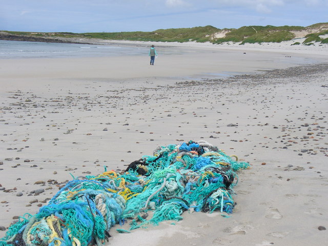
Visitors to Loch na h-Airde Faide can enjoy a peaceful and tranquil setting, perfect for picnicking, bird watching, and nature walks. The surrounding area offers stunning views of the Scottish countryside, making it a popular destination for outdoor enthusiasts and nature lovers alike.

If you have any feedback on the listing, please let us know in the comments section below.

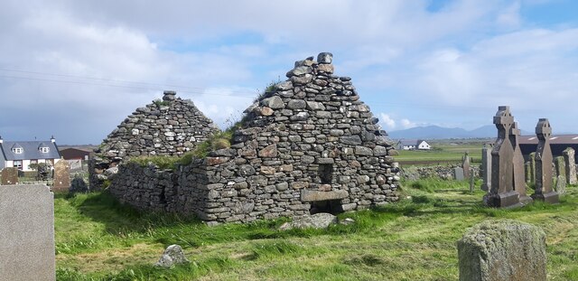
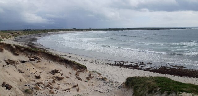
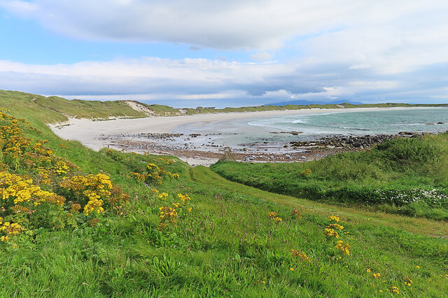
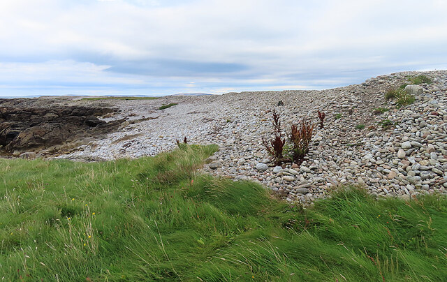
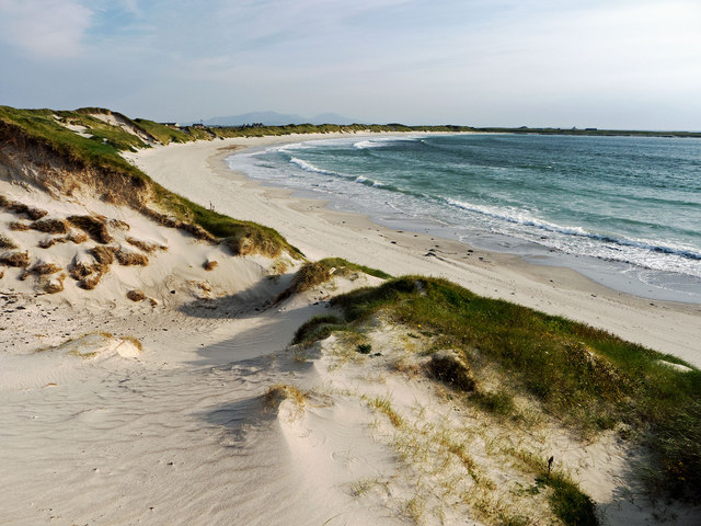
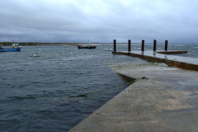
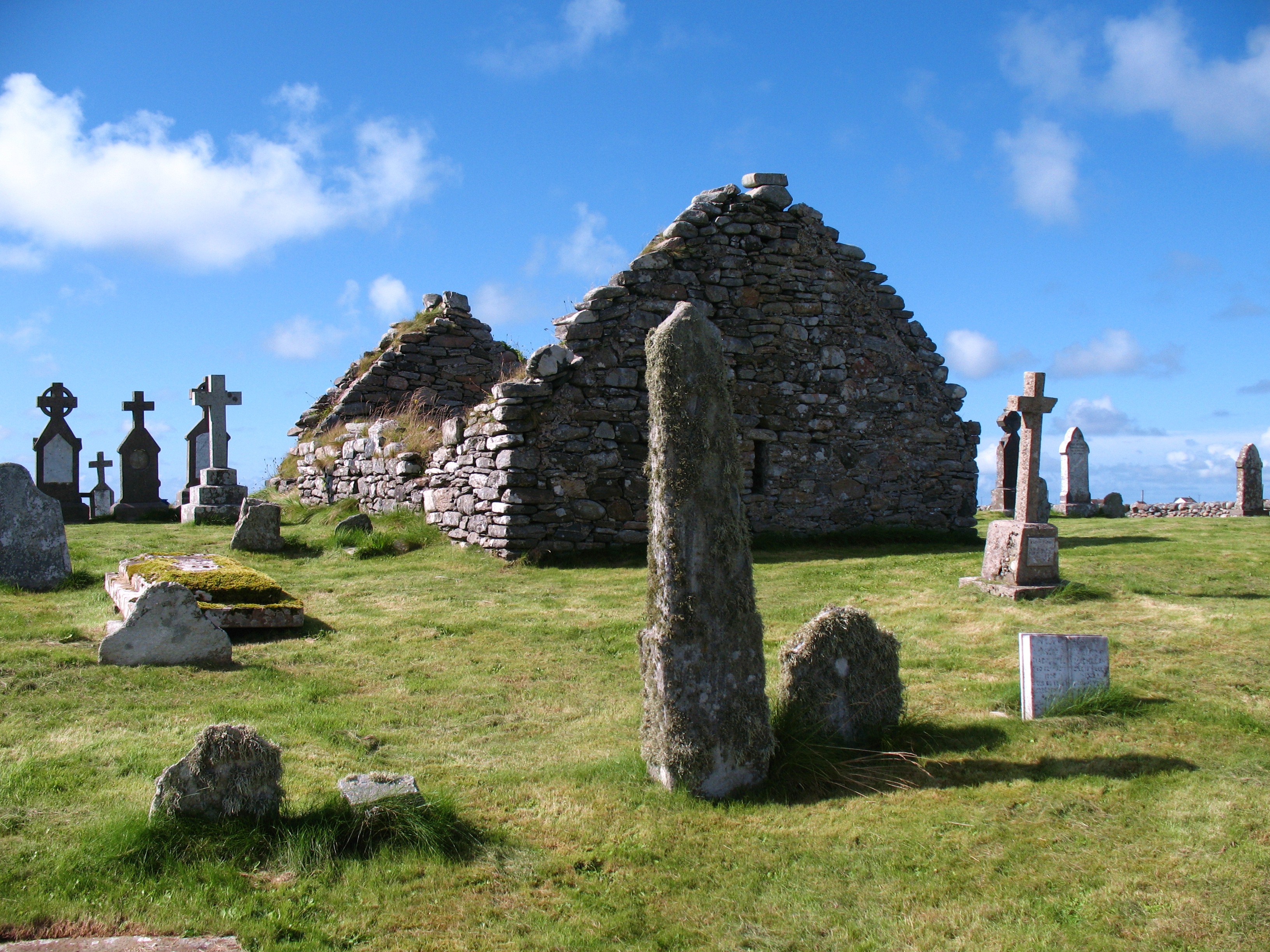
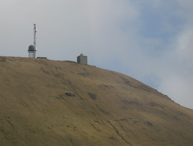
Loch na h-Airde Faide Images

Images are sourced within 2km of 57.451896/-7.3872729 or Grid Reference NF7752. Thanks to Geograph Open Source API. All images are credited.

Ruin of St Mary's Chapel, Nunton <span class="nowrap"><a title="https://canmore.org.uk/site/9972/benbecula-nunton-ruin-of-st-marys-chapel" rel="nofollow ugc noopener" href="https://canmore.org.uk/site/9972/benbecula-nunton-ruin-of-st-marys-chapel">Link</a><img style="margin-left:2px;" alt="External link" title="External link - shift click to open in new window" src="https://s1.geograph.org.uk/img/external.png" width="10" height="10"/></span>
Ruin of St Mary's Chapel, Nunton
Sand Dunes at Culla Bay
Culla Bay One of the many fine sandy beaches on the west side of na h-Eileanan an Iar.
Culla Bay
One of the many fine sandy beaches on the west side of na h-Eileanan an Iar.
Storm Beach The berm of shingle and pebbles is a storm beach thrown up during westerly storms.
Storm Beach
The berm of shingle and pebbles is a storm beach thrown up during westerly storms.
Rocky Shore No storm beach has formed on this stretch of the coast because the rocks of the shore break the power of the sea to throw up a berm of pebbles and cobbles.
Rocky Shore
No storm beach has formed on this stretch of the coast because the rocks of the shore break the power of the sea to throw up a berm of pebbles and cobbles.
Culla Bay Reputedly the best beach on Benbecula and worthy of visit any time of the year.  Spot the difference <a href="https://www.geograph.org.uk/photo/2902289">NF7654 : Dunes at the northern end of Culla Bay</a> an April visit compared to this September visit.
Culla Bay
Reputedly the best beach on Benbecula and worthy of visit any time of the year. Spot the difference NF7654 : Dunes at the northern end of Culla Bay an April visit compared to this September visit.
Nunton Steadings Nunton Steadings as seen from the new cemetery opposite Cladh and Teampull Mhuire at Balivanich.
Nunton Steadings
Nunton Steadings as seen from the new cemetery opposite Cladh and Teampull Mhuire at Balivanich.
Cuinabunag jetty
Cuinabunag jetty
Sìdhean Bhuirgh
Sìdhean Bhuirgh
Beach at Cuinabunag
Beach at Cuinabunag
Fishing boats moored off the jetty The nearer boat had just come in after a trip out for crab and lobster.
Fishing boats moored off the jetty
The nearer boat had just come in after a trip out for crab and lobster.
Beach by Peighinn a' Bhaile White sand beach backed by dunes on the west coast of Benbecula. The mountains of South Uist are on the skyline.
<span class="nowrap"><a title="http://www.visithebrides.com/islands/benbecula/" rel="nofollow ugc noopener" href="http://www.visithebrides.com/islands/benbecula/">Link</a><img style="margin-left:2px;" alt="External link" title="External link - shift click to open in new window" src="https://s1.geograph.org.uk/img/external.png" width="10" height="10"/></span>
Beach by Peighinn a' Bhaile
White sand beach backed by dunes on the west coast of Benbecula. The mountains of South Uist are on the skyline. LinkExternal link
Bay by Cuinabunag Sandy bay backed by dunes on the west coast of Benbecula.
<span class="nowrap"><a title="http://www.isle-of-benbecula.co.uk/" rel="nofollow ugc noopener" href="http://www.isle-of-benbecula.co.uk/">Link</a><img style="margin-left:2px;" alt="External link" title="External link - shift click to open in new window" src="https://s1.geograph.org.uk/img/external.png" width="10" height="10"/></span>
Bay by Cuinabunag
Sandy bay backed by dunes on the west coast of Benbecula. LinkExternal link
Azalea at Moorings Castlebay boat, CY11, in the lee of the small jetty near Cuinabunag, Benbecula. In the middle distance are dunes on the Benbecula coast while in the far distance are the mountains of South Uist.
<span class="nowrap"><a title="http://www.isle-of-benbecula.co.uk/" rel="nofollow ugc noopener" href="http://www.isle-of-benbecula.co.uk/">Link</a><img style="margin-left:2px;" alt="External link" title="External link - shift click to open in new window" src="https://s1.geograph.org.uk/img/external.png" width="10" height="10"/></span>
Azalea at Moorings
Castlebay boat, CY11, in the lee of the small jetty near Cuinabunag, Benbecula. In the middle distance are dunes on the Benbecula coast while in the far distance are the mountains of South Uist. LinkExternal link
Culla Bay, South End Rocks and small, sandy cove on the west coast of Benbecula.
<span class="nowrap"><a title="http://www.isle-of-benbecula.co.uk/" rel="nofollow ugc noopener" href="http://www.isle-of-benbecula.co.uk/">Link</a><img style="margin-left:2px;" alt="External link" title="External link - shift click to open in new window" src="https://s1.geograph.org.uk/img/external.png" width="10" height="10"/></span>
Culla Bay, South End
Rocks and small, sandy cove on the west coast of Benbecula. LinkExternal link
Culla Bay from the South Rocks at the southern end of a nearly deserted beach on the west coast of Benbecula.
<span class="nowrap"><a title="http://www.isle-of-benbecula.co.uk/" rel="nofollow ugc noopener" href="http://www.isle-of-benbecula.co.uk/">Link</a><img style="margin-left:2px;" alt="External link" title="External link - shift click to open in new window" src="https://s1.geograph.org.uk/img/external.png" width="10" height="10"/></span>
Culla Bay from the South
Rocks at the southern end of a nearly deserted beach on the west coast of Benbecula. LinkExternal link
Culla Bay Wonderful stretch of white sand backed by sand dunes on Benbecula's west coast. The bay has a Strathspey dance named after it.
<span class="nowrap"><a title="http://www.isle-of-benbecula.co.uk/" rel="nofollow ugc noopener" href="http://www.isle-of-benbecula.co.uk/">Link</a><img style="margin-left:2px;" alt="External link" title="External link - shift click to open in new window" src="https://s1.geograph.org.uk/img/external.png" width="10" height="10"/></span>
Culla Bay
Wonderful stretch of white sand backed by sand dunes on Benbecula's west coast. The bay has a Strathspey dance named after it. LinkExternal link
Culla Bay, Benbecula White sand beach on Benbecula's Atlantic coast - with a colourful and tangled knot of fishing nets.
<span class="nowrap"><a title="http://www.isle-of-benbecula.co.uk/" rel="nofollow ugc noopener" href="http://www.isle-of-benbecula.co.uk/">Link</a><img style="margin-left:2px;" alt="External link" title="External link - shift click to open in new window" src="https://s1.geograph.org.uk/img/external.png" width="10" height="10"/></span>
Culla Bay, Benbecula
White sand beach on Benbecula's Atlantic coast - with a colourful and tangled knot of fishing nets. LinkExternal link
Show me another place!

Loch na h-Airde Faide is located at Grid Ref: NF7752 (Lat: 57.451896, Lng: -7.3872729)

Unitary Authority: Na h-Eileanan an Iar

Police Authority: Highlands and Islands

What 3 Words

///explored.copes.microfilm. Near Balivanich, Na h-Eileanan Siar

Related Wikis

Nunton, Benbecula

Nunton (Scottish Gaelic: Baile nan Cailleach) is a settlement on Benbecula in the Outer Hebrides, Scotland. Nunton is within the parish of South Uist,...

Deep Sea Range

The Deep Sea Range is an RAF missile range in the Outer Hebrides. It has also been known as the Hebrides Guided Weapon Range and the South Uist Missile...

Balivanich

Balivanich (Scottish Gaelic: Baile a' Mhanaich [palə ˈvanɪç]) is a village on the island of Benbecula in the Outer Hebrides off the west coast of Scotland...

Uist and Barra Hospital

Ospadal Uibhist agus Bharraigh (Uist and Barra Hospital) is a community hospital in Benbecula which provides services on the islands of North Uist, South...

Nearby Amenities

Located within 500m of 57.451896,-7.3872729
Ford: yes
Lat/Long: 57.4537957/-7.3930922
The data included in this document is from www.openstreetmap.org. The data is made available under ODbL.

Have you been to Loch na h-Airde Faide?

Leave your review of Loch na h-Airde Faide below (or comments, questions and feedback).