South Head
Coastal Feature, Headland, Point in Shetland
Scotland
South Head
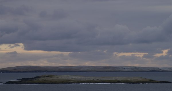
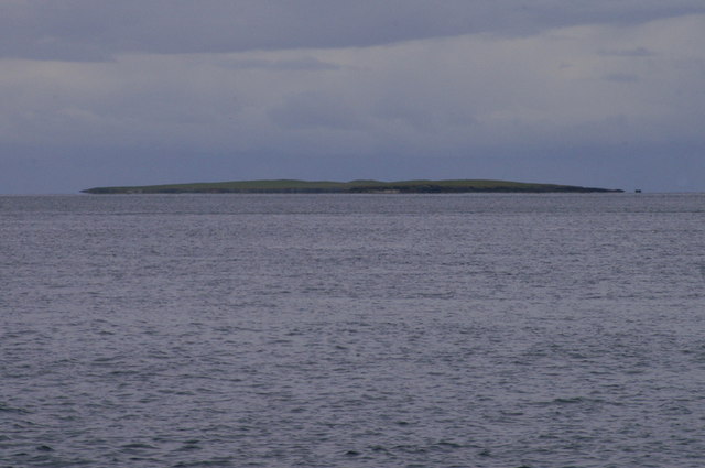
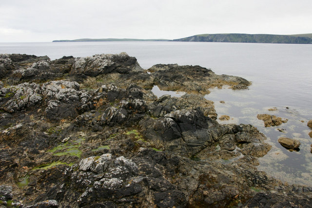
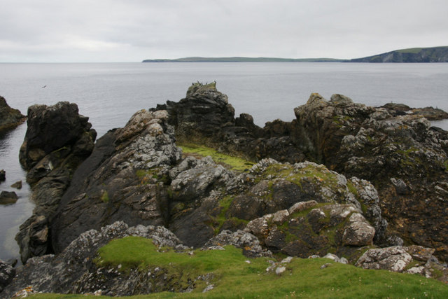
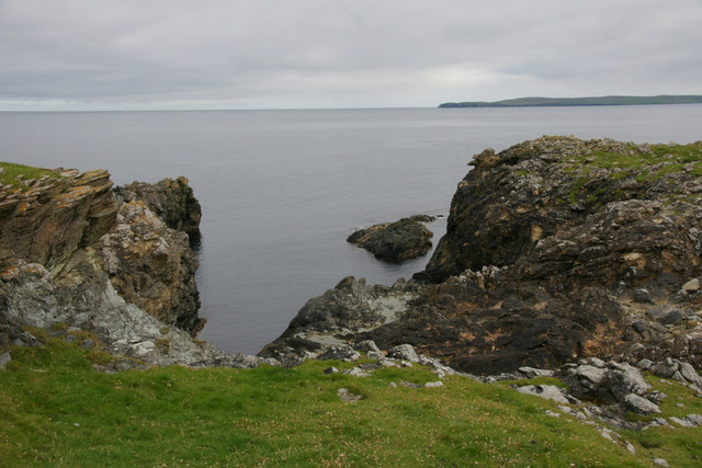
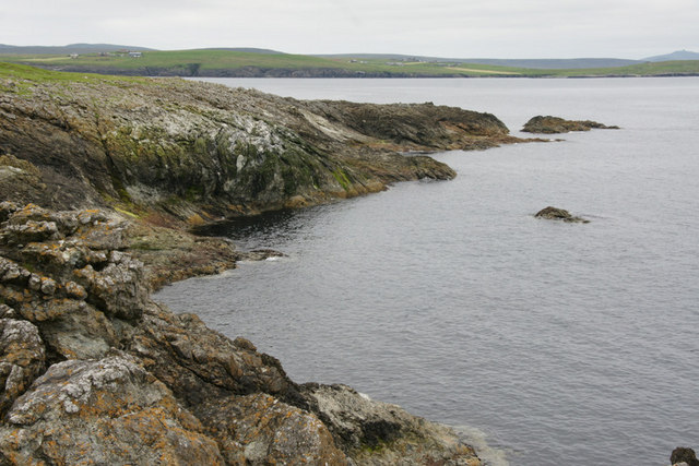
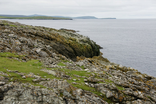
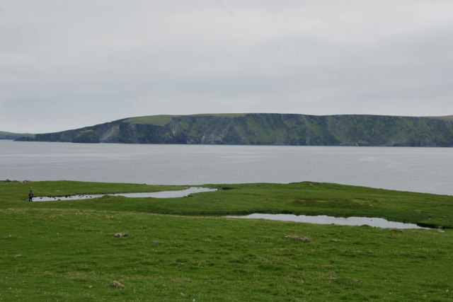
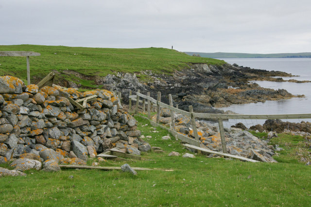
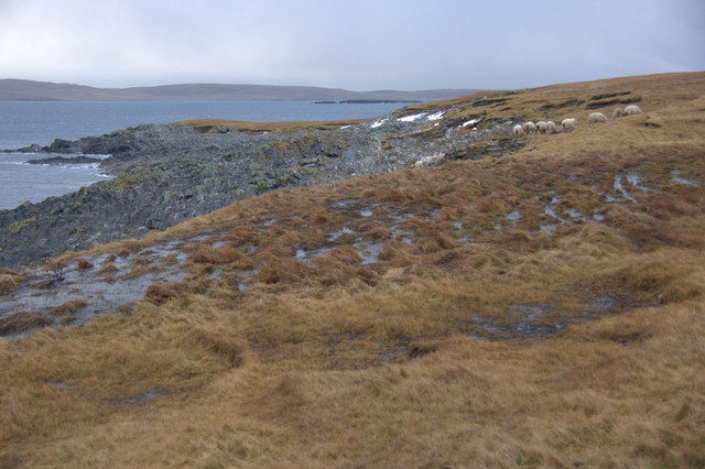
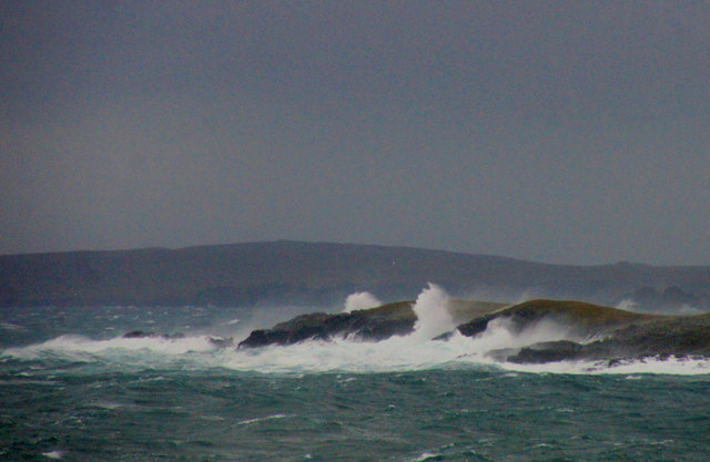
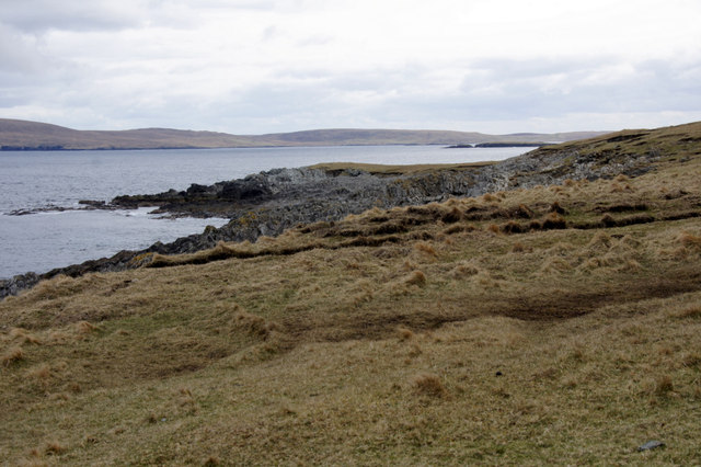
South Head is a prominent coastal feature located in the Shetland Islands, Scotland. Situated on the southernmost tip of the mainland, it is a stunning headland that juts out into the North Sea. The headland is characterized by its rugged cliffs, dramatic coastal formations, and breathtaking views of the surrounding landscape.
Standing at an impressive height, the cliffs of South Head provide a natural barrier between the land and the sea. The exposed rock faces showcase layers of sedimentary rock, reflecting the geological history of the area. These cliffs are often battered by strong winds and crashing waves, making it a spectacular sight for visitors.
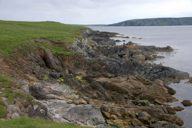
The headland offers a diverse range of flora and fauna, with various seabird colonies nesting on the cliffs. Visitors may spot species such as puffins, guillemots, and razorbills, as well as seals and dolphins in the surrounding waters. The area is also known for its rich marine life, attracting fishing enthusiasts and divers alike.
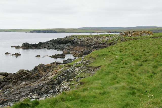
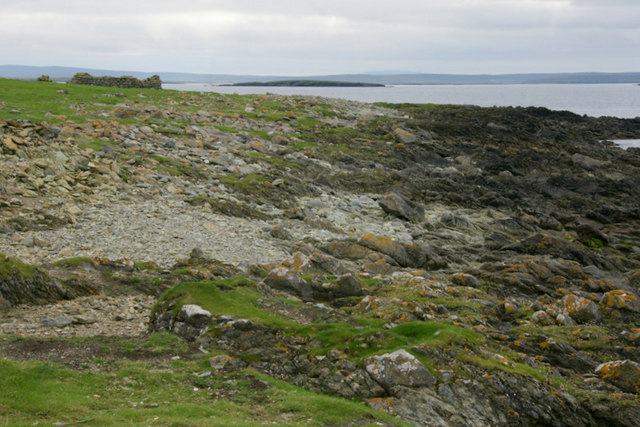
South Head is a popular destination for outdoor enthusiasts, offering opportunities for hiking and exploring the rugged coastline. A well-maintained trail leads visitors along the cliff tops, providing panoramic views and access to hidden coves and beaches. The headland is also home to a lighthouse, which serves as a navigational aid for ships passing through the area.
In addition to its natural beauty, South Head holds historical significance. The headland is dotted with ancient ruins and archaeological sites, providing insights into the lives of previous inhabitants. It is a place where the past and present converge, offering visitors a unique blend of natural wonders and cultural heritage.
If you have any feedback on the listing, please let us know in the comments section below.
South Head Images
Images are sourced within 2km of 60.660961/-0.83866866 or Grid Reference HU6398. Thanks to Geograph Open Source API. All images are credited.


South Head is located at Grid Ref: HU6398 (Lat: 60.660961, Lng: -0.83866866)
Unitary Authority: Shetland Islands
Police Authority: Highlands and Islands
What 3 Words
///volume.overpower.handbags. Near Uyeasound, Shetland Islands
Nearby Locations
Related Wikis

Haaf Gruney
Haaf Gruney is a small island in the north east of the Shetland Islands. == Geography and geology == The island is between Unst and Fetlar which are to...

Muness Castle
Muness Castle is located on Unst, which is one of the Shetland Islands of Scotland. The castle is 3 kilometres (1.9 mi) east of the village of Uyeasound...

Uyea, Unst
Uyea (Scots: Uyea) is an uninhabited island, lying south of Unst in Shetland, Scotland. == History == The island was inhabited as early as the Bronze Age...

Funzie Girt
Funzie Girt (; Scots: Funyie Girt "Finns' dyke") is an ancient dividing wall that was erected from north to south across the island of Fetlar in Shetland...

Clivocast
Clivocast is a settlement on the island of Unst in the Shetland Islands, Scotland at 60.67°N 00.90°W / 60.67; -00.90 or grid reference HP6000 and is situated...
Mailand, Shetland
Mailand is a hamlet in the Shetland Islands. It is on the island of Unst, the northernmost of the inhabited British Isles, near its southern coast. �...

Urie Lingey
For other islands with similar names, see Linga (disambiguation) Urie Lingey is one of the Shetland Islands. It is between Fetlar and Unst, and Yell is...

Sound Gruney
For other islands with similar names, see Gruney (disambiguation) Sound Gruney is one of the Shetland islands. It lies about 1.5 kilometres (0.93 mi)...
Have you been to South Head?
Leave your review of South Head below (or comments, questions and feedback).