Swevers Taing
Coastal Feature, Headland, Point in Shetland
Scotland
Swevers Taing
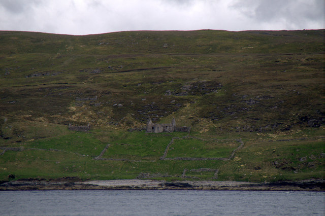
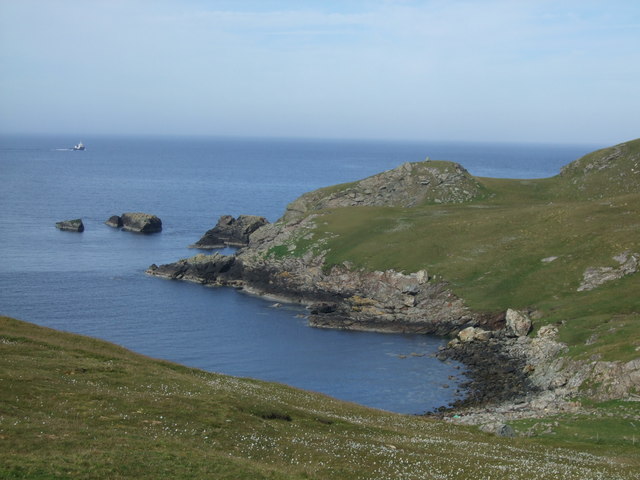
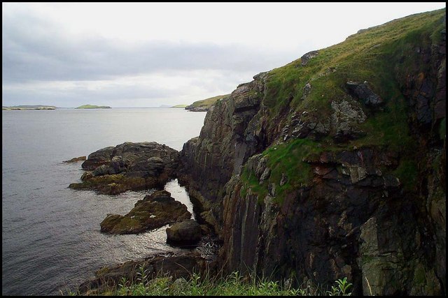
Swevers Taing is a prominent coastal feature located in the Shetland Islands, an archipelago in Scotland. Situated on the mainland, Swevers Taing is a headland that juts out into the North Atlantic Ocean, forming a distinct point along the rugged coastline.
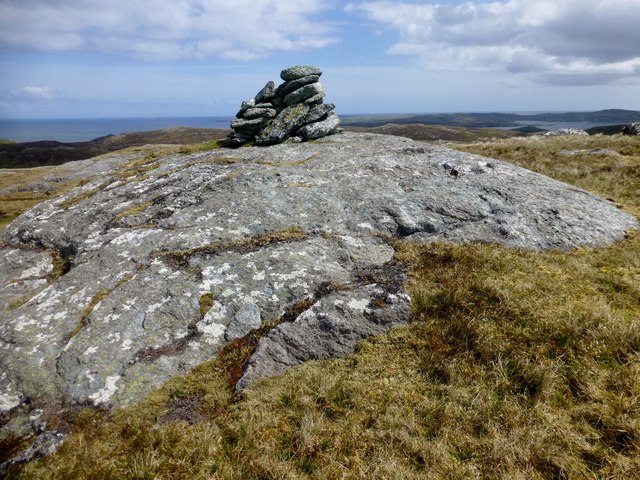
The headland is characterized by its dramatic cliffs, which tower above the crashing waves below. These cliffs are composed of ancient rock formations, showcasing layers of sedimentary deposits that have built up over millions of years. Swevers Taing is known for its geological diversity, with evidence of different rock types, including sandstone, shale, and limestone.
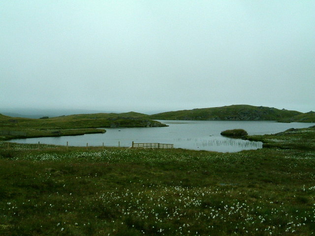
The area surrounding Swevers Taing is rich in wildlife, attracting nature enthusiasts and birdwatchers alike. The cliffs provide nesting sites for various seabirds, including puffins, guillemots, and kittiwakes, which can be observed during the breeding season. The surrounding waters are also home to a diverse range of marine life, such as seals, dolphins, and occasionally, whales.
The headland offers breathtaking views of the surrounding coastline and the vast expanse of the Atlantic Ocean. Swevers Taing is a popular spot for coastal walks, allowing visitors to explore the rugged terrain, observe the wildlife, and appreciate the natural beauty of the Shetland Islands.
Overall, Swevers Taing is a remarkable coastal feature that showcases the geological and ecological diversity of the Shetland Islands. Its rugged cliffs, abundant wildlife, and stunning views make it a must-visit destination for nature lovers and those seeking to experience the untamed beauty of Scotland's coastline.
If you have any feedback on the listing, please let us know in the comments section below.
Swevers Taing Images
Images are sourced within 2km of 60.374546/-1.0768273 or Grid Reference HU5165. Thanks to Geograph Open Source API. All images are credited.


Swevers Taing is located at Grid Ref: HU5165 (Lat: 60.374546, Lng: -1.0768273)
Unitary Authority: Shetland Islands
Police Authority: Highlands and Islands
What 3 Words
///divorcing.conveying.unwraps. Near Vidlin, Shetland Islands
Nearby Locations
Related Wikis

Little Linga
Little Linga is a small island in the Shetland Islands. It is near West Linga and Vidlin on Mainland, Shetland. It is 20 metres (66 ft) at its highest...

West Linga
West Linga is an uninhabited island located between Mainland and Whalsay in Shetland, Scotland. == Geography and geology == West Linga is a long narrow...

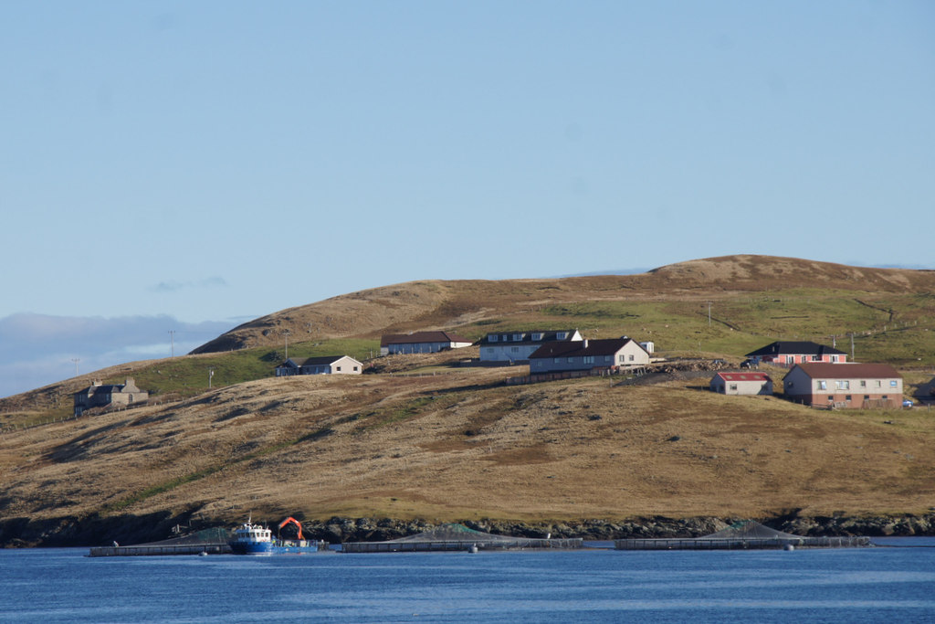
Vidlin
Vidlin (from Old Norse: Vaðill meaning a ford) is a small village located on Mainland, Shetland, Scotland. The settlement is within the parish of Nesting...
Linga Sound, Shetland
Linga Sound is the strait between the islands of Whalsay and West Linga in the Shetland islands of Scotland. The sound has a depth of 11 to 12 fathoms...

Skate of Marrister
The Skate of Marrister is a flat ledge that extends about 300 yards (270 m) from the western shore of Whalsay, in the Shetland islands of Scotland. It...

Marrister
Marrister is a settlement on the west coast of Whalsay in the parish of Nesting in the Shetland islands of Scotland. It looks across Linga Sound to the...

Lunna House
Lunna House is a 17th-century laird's house on Lunna Ness in the Shetland Islands. Lunna House is noted for having "the best historic designed landscape...
North Park, Whalsay
North Park is a hamlet in southwestern Whalsay in the parish of Nesting in the Shetland Islands of Scotland. It lies to the north of Saltness and Symbister...
Have you been to Swevers Taing?
Leave your review of Swevers Taing below (or comments, questions and feedback).