Ness of Westshore
Coastal Feature, Headland, Point in Shetland
Scotland
Ness of Westshore
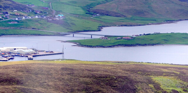
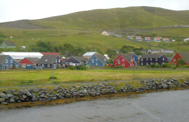
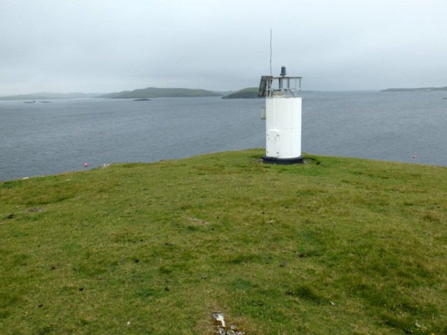
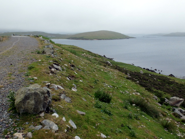
Ness of Westshore is a prominent headland located in the Shetland Islands, an archipelago in Scotland. Situated on the west coast of the main island, it is a well-known coastal feature that juts out into the North Atlantic Ocean.
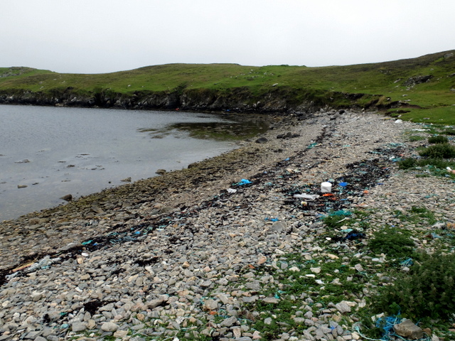
The headland of Ness of Westshore is characterized by its rugged cliffs and rocky terrain, offering breathtaking views of the surrounding coastline. It is composed of sedimentary rocks, primarily sandstone and shale, which exhibit distinct layers and textures. These geological formations provide valuable insights into the region's history and have attracted the attention of geologists and researchers.
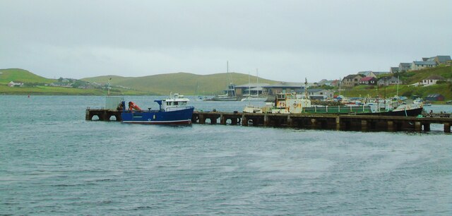
The coastal area surrounding Ness of Westshore is diverse and rich in marine life. Seabirds such as puffins, guillemots, and fulmars can often be spotted nesting on the cliffs, while seals and otters can be seen swimming in the nearby waters. The headland also offers excellent opportunities for fishing, with a variety of fish species found in the surrounding seas.
Ness of Westshore is also of historical significance. The remains of an Iron Age broch, a type of round stone tower, can be found at the headland, dating back over 2,000 years. This ancient structure provides evidence of human habitation and offers a glimpse into the lives of the people who once inhabited the area.
Overall, Ness of Westshore is a striking coastal feature, combining natural beauty, geological importance, and historical significance. It serves as a popular destination for nature enthusiasts, researchers, and history buffs alike, offering a unique and captivating experience on the Shetland Islands.
If you have any feedback on the listing, please let us know in the comments section below.
Ness of Westshore Images
Images are sourced within 2km of 60.135411/-1.2945023 or Grid Reference HU3939. Thanks to Geograph Open Source API. All images are credited.
Ness of Westshore is located at Grid Ref: HU3939 (Lat: 60.135411, Lng: -1.2945023)
Unitary Authority: Shetland Islands
Police Authority: Highlands and Islands
What 3 Words
///flukes.searching.rice. Near Scalloway, Shetland Islands
Nearby Locations
Related Wikis
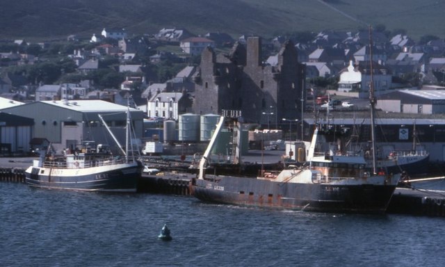
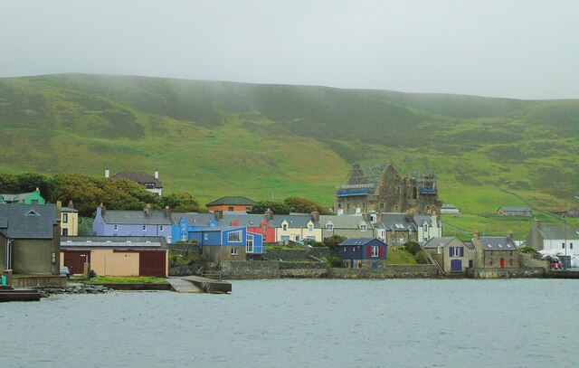
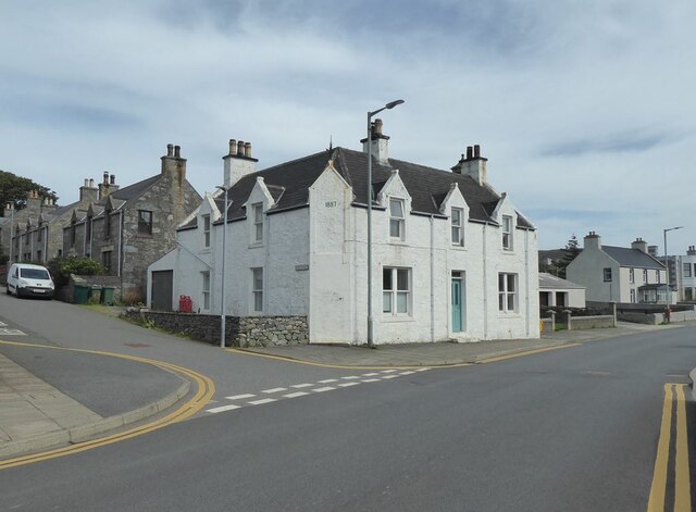
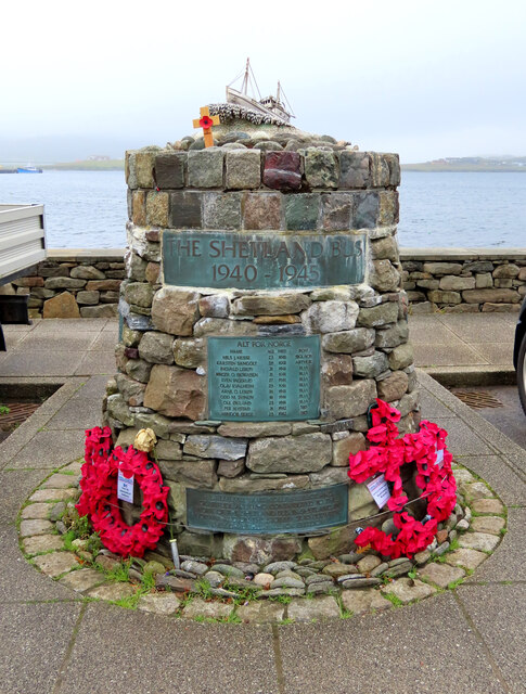
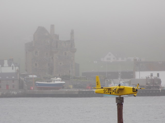
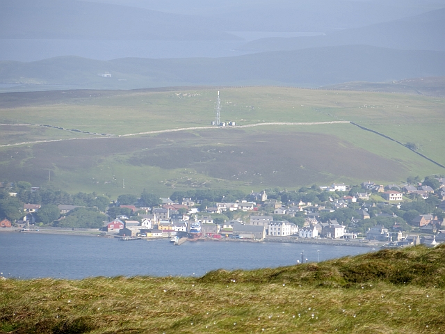
Scalloway
Scalloway (Old Norse: Skálavágr, "bay with the large house(s)") is the largest settlement on the west coast of the Mainland, the largest island of the...
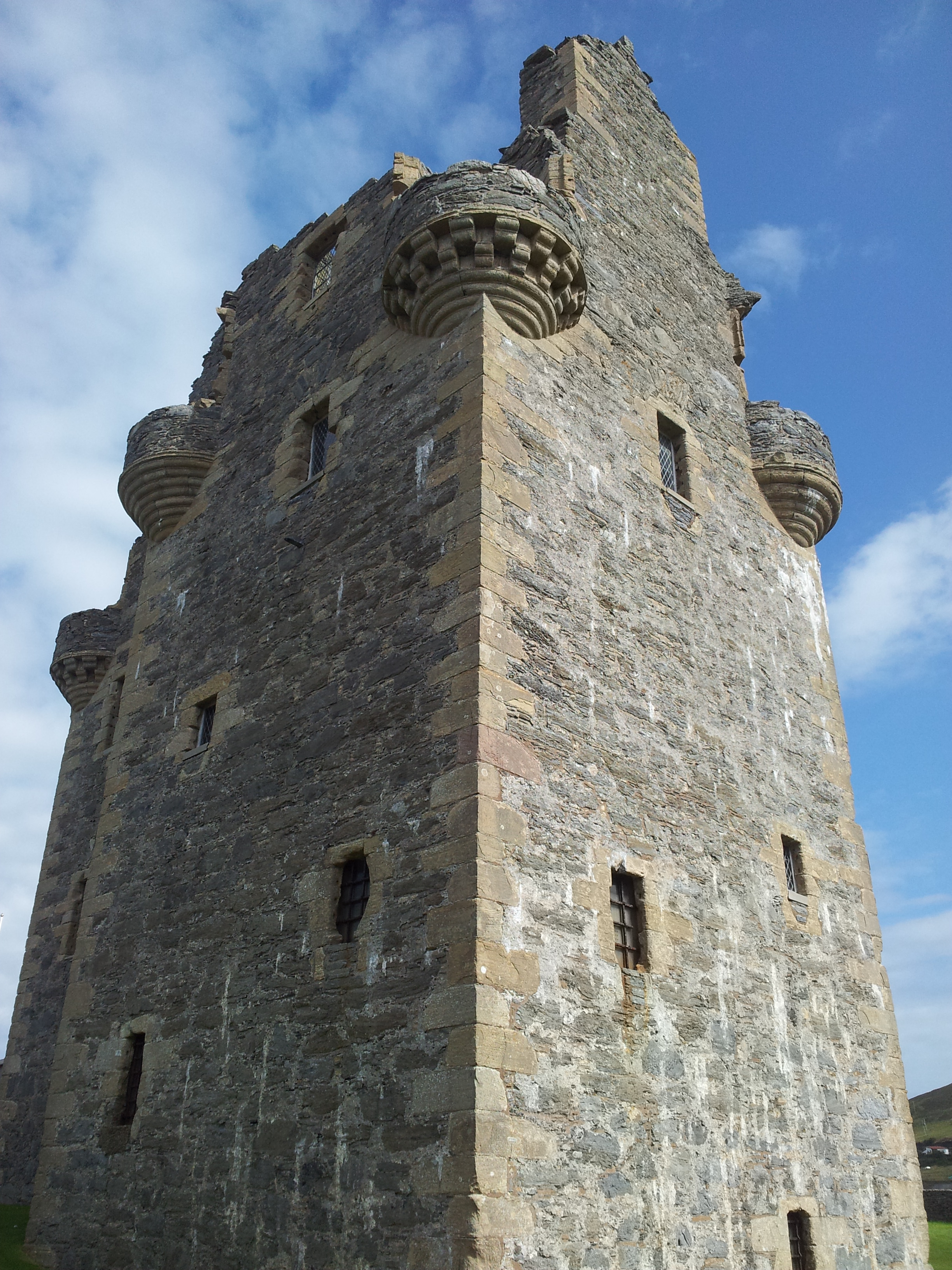
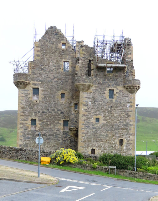
Scalloway Castle
Scalloway Castle is a tower house in Scalloway, on the Shetland Mainland, the largest island in the Shetland Islands of Scotland. The tower was built in...

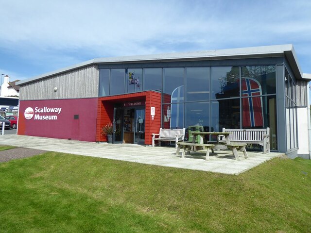
Scalloway Museum
Scalloway Museum is a local museum in Scalloway, Shetland. The museum has collections that cover the history of the Shetland Islands as well as historical...

Cutts, Shetland
Cutts is a settlement in the Shetland Islands, United Kingdom. It is on the island of Trondra off the west coast of Shetland Mainland. The B9074 crosses...

Green Holm
Green Holm, (HU382379), is a small uninhabited island 500 metres north of Burra Ness at the north end of the island of Burra and on the west side of the...
Burwick Holm
Burwick Holm is a small island off the west coast of Mainland, Shetland. It is located in the Bur Wick inlet, and near Scalloway.
Burwick
Burwick is a small peninsula north of Scalloway in the Shetland Islands, Scotland. The Hill of Burwick rises to 107 metres (351 ft), the Ness of Burwick...

Langa, Shetland
Langa (Old Norse: Langey ) is the collective name for two uninhabited islands off Hildasay, in Shetland, Scotland. The islands are connected by a tombolo...
Nearby Amenities
Located within 500m of 60.135411,-1.2945023Have you been to Ness of Westshore?
Leave your review of Ness of Westshore below (or comments, questions and feedback).