Point of the Pund

Coastal Feature, Headland, Point in Shetland

Scotland

Point of the Pund

Trondra bridge from the air
Trondra bridge from the air Credit: Mike Pennington

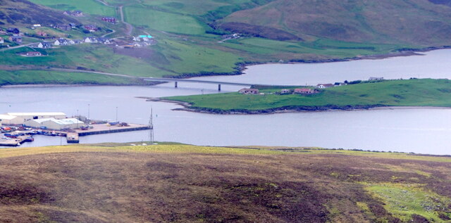
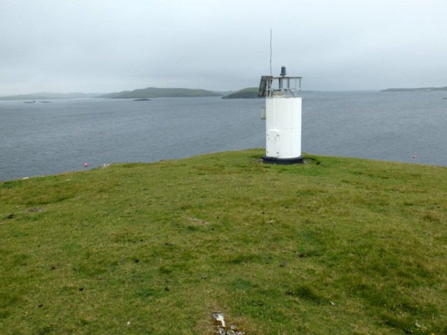
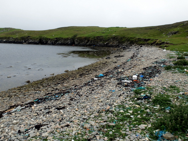
Point of the Pund is a prominent coastal feature located in the Shetland Islands, which are part of Scotland. Specifically, it is situated on the Mainland, the largest island in the Shetland archipelago. It can be categorized as a headland or a point due to its geographical characteristics.

This coastal feature is known for its dramatic cliffs that extend out into the North Sea. The cliffs are composed of rugged rock formations, mainly consisting of sandstone and shale. They rise to a considerable height, providing an impressive sight for visitors.

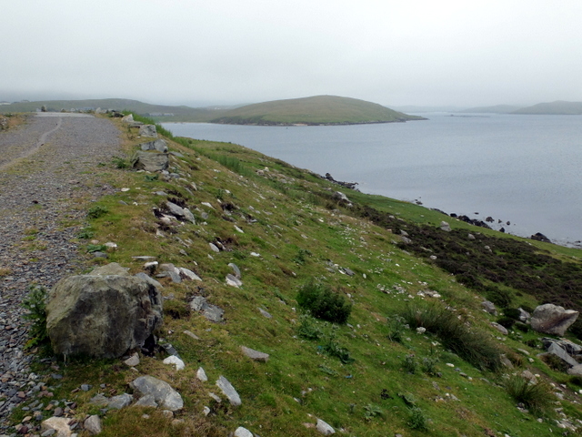
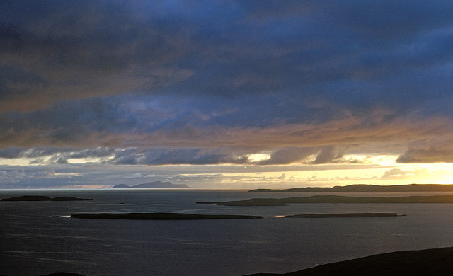
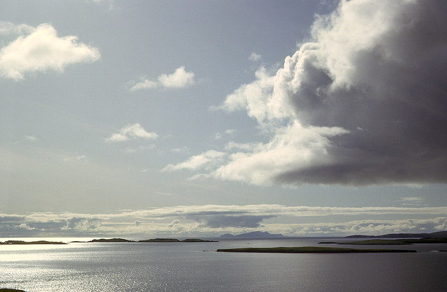
Point of the Pund offers stunning panoramic views of the surrounding area. On clear days, one can see the vast expanse of the North Sea and the distant horizon. The rugged coastline is also dotted with sea stacks and arches, adding to the beauty and intrigue of the landscape.

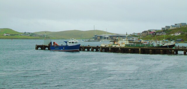
The point is accessible to the public, and there is a walking path that leads to it from the nearby village of Voe. The path provides an opportunity for nature enthusiasts and hikers to explore the coastal scenery and observe the local flora and fauna.

Due to its location, Point of the Pund is also a popular spot for birdwatching. The cliffs serve as nesting sites for various seabirds, including puffins, guillemots, and fulmars. Birdwatchers often visit the area to catch a glimpse of these fascinating creatures in their natural habitat.

In summary, Point of the Pund is a captivating coastal feature on the Mainland of the Shetland Islands. With its towering cliffs, breathtaking views, and abundant wildlife, it is a must-visit destination for nature lovers and those seeking to experience the rugged beauty of the Shetland coastline.

If you have any feedback on the listing, please let us know in the comments section below.

Point of the Pund Images

Images are sourced within 2km of 60.134043/-1.3040723 or Grid Reference HU3839. Thanks to Geograph Open Source API. All images are credited.

Trondra bridge from the air
Scalloway Piers Taken at the viewing area beside the Shetland Bus Memorial, Scalloway, Shetland, I am looking southwest across Scalloway Harbour to the piers and the marina beyond. The islets and settlements of Trondra can be seen on the other side of the Voe.
Scalloway Piers
Taken at the viewing area beside the Shetland Bus Memorial, Scalloway, Shetland, I am looking southwest across Scalloway Harbour to the piers and the marina beyond. The islets and settlements of Trondra can be seen on the other side of the Voe.
Scalloway Castle Taken on the viewing point beside the Shetland Bus Memorial, Scalloway, Shetland, I am looking across the eastern side of the harbour to Scalloway Castle which at the time of my visit was undergoing repairs.
Scalloway Castle
Taken on the viewing point beside the Shetland Bus Memorial, Scalloway, Shetland, I am looking across the eastern side of the harbour to Scalloway Castle which at the time of my visit was undergoing repairs.
Shetland Bus Memorial This is the memorial to what became known as the Shetland Bus, a special operation which ran between Shetland and occupied Norway from 1941 until the surrender of Nazi Germany in 1945. The purpose was to transport arms and other supplies to the Norwegian resistance and fishing boats were used as cover with crossings being made under cover of darkness however stormy the weather. The nearby Scalloway Museum has an excellent exhibit detailing the operations and the people involved.
Shetland Bus Memorial
This is the memorial to what became known as the Shetland Bus, a special operation which ran between Shetland and occupied Norway from 1941 until the surrender of Nazi Germany in 1945. The purpose was to transport arms and other supplies to the Norwegian resistance and fishing boats were used as cover with crossings being made under cover of darkness however stormy the weather. The nearby Scalloway Museum has an excellent exhibit detailing the operations and the people involved.
House on the corner of Kirkpark and Main Street Dated 1887.
House on the corner of Kirkpark and Main Street
Dated 1887.
Road blocks During World War II, these road blocks were kept by the road in to the village, intended to be rolled into position in case of invasion. Now sited outside Scalloway Museum.
Road blocks
During World War II, these road blocks were kept by the road in to the village, intended to be rolled into position in case of invasion. Now sited outside Scalloway Museum.
Scalloway Museum In the window, the flags of Shetland and Norway. Shetland retains a very strong affinity with Norway. The Museum was opened in 2012 by Jens Stoltenberg, then Prime Minister of Norway, now head of NATO.
Scalloway Museum
In the window, the flags of Shetland and Norway. Shetland retains a very strong affinity with Norway. The Museum was opened in 2012 by Jens Stoltenberg, then Prime Minister of Norway, now head of NATO.
Memorial to the Shetland Bus This is the memorial to the bravery of the men who sailed what became known as the Shetland Bus between occupied Norway and Shetland during WW2. The full story can be learned at the nearby Scalloway Museum - <span class="nowrap"><a title="https://www.scallowaymuseum.org/the-shetland-bus.html" rel="nofollow ugc noopener" href="https://www.scallowaymuseum.org/the-shetland-bus.html">Link</a><img style="margin-left:2px;" alt="External link" title="External link - shift click to open in new window" src="https://s1.geograph.org.uk/img/external.png" width="10" height="10"/></span>
Memorial to the Shetland Bus
This is the memorial to the bravery of the men who sailed what became known as the Shetland Bus between occupied Norway and Shetland during WW2. The full story can be learned at the nearby Scalloway Museum - LinkExternal link
Scalloway Castle Scalloway Castle, Scalloway, Shetland, once home to the infamous Earl Patrick Stewart (see <span class="nowrap"><a title="https://www.historicenvironment.scot/visit-a-place/places/scalloway-castle/history/" rel="nofollow ugc noopener" href="https://www.historicenvironment.scot/visit-a-place/places/scalloway-castle/history/">Link</a><img style="margin-left:2px;" alt="External link" title="External link - shift click to open in new window" src="https://s1.geograph.org.uk/img/external.png" width="10" height="10"/></span> )
Scalloway Castle
Scalloway Castle, Scalloway, Shetland, once home to the infamous Earl Patrick Stewart (see LinkExternal link )
Scalloway: postbox № ZE2 16 Looking along the main road just as it has passed through the main part of Scalloway, past this George V-reign postbox which is emptied at 10:15am on weekdays and Saturdays.
Scalloway: postbox № ZE2 16
Looking along the main road just as it has passed through the main part of Scalloway, past this George V-reign postbox which is emptied at 10:15am on weekdays and Saturdays.
Trondra: postbox № ZE2 55 The postbox serving Trondra stands alongside a bus shelter by a road junction towards the northeast of the island. We are looking along the B9074 back towards Scalloway on the Shetland mainland.
Trondra: postbox № ZE2 55
The postbox serving Trondra stands alongside a bus shelter by a road junction towards the northeast of the island. We are looking along the B9074 back towards Scalloway on the Shetland mainland.
Light at Point of Pund A navigational light at the entrance to Scalloway Voe.
Light at Point of Pund
A navigational light at the entrance to Scalloway Voe.
Beach at the head of Pund Voe Plenty of maritime debris is washed up onto the beach.
Beach at the head of Pund Voe
Plenty of maritime debris is washed up onto the beach.
Maa Ness A small promontory on the north side of the entry to Scalloway.
Maa Ness
A small promontory on the north side of the entry to Scalloway.
Evening view west from the Ness of Westshore Once the ridge is climbed to the west of Scalloway the view extends over the nearby islands of Lunga, Linga and Hildasay before the long stretch of sea to Foula on the western horizon.
Evening view west from the Ness of Westshore
Once the ridge is climbed to the west of Scalloway the view extends over the nearby islands of Lunga, Linga and Hildasay before the long stretch of sea to Foula on the western horizon.
Islands west from Point of the Pund, Mainland West to Foula over Langa and the islets south of Hildasay.
Islands west from Point of the Pund, Mainland
West to Foula over Langa and the islets south of Hildasay.
Scalloway: model plane at the harbour A model plane set on top of an otherwise unused post along the western side of the harbour. The castle is visible somewhat mistily in the background.
Scalloway: model plane at the harbour
A model plane set on top of an otherwise unused post along the western side of the harbour. The castle is visible somewhat mistily in the background.
Scalloway View from Scrae Field.
Scalloway
View from Scrae Field.
Show me another place!

Point of the Pund is located at Grid Ref: HU3839 (Lat: 60.134043, Lng: -1.3040723)

Unitary Authority: Shetland Islands

Police Authority: Highlands and Islands

What 3 Words

///notch.winded.staging. Near Scalloway, Shetland Islands

Related Wikis

Green Holm

Green Holm, (HU382379), is a small uninhabited island 500 metres north of Burra Ness at the north end of the island of Burra and on the west side of the...

Langa, Shetland

Langa (Old Norse: Langey ) is the collective name for two uninhabited islands off Hildasay, in Shetland, Scotland. The islands are connected by a tombolo...
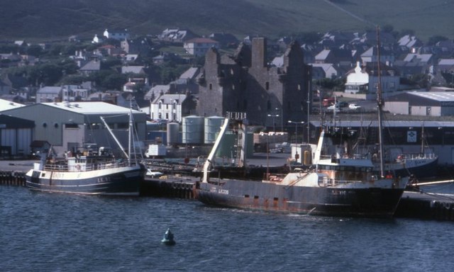
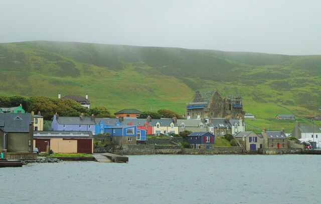
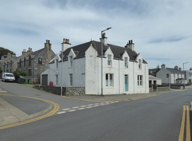
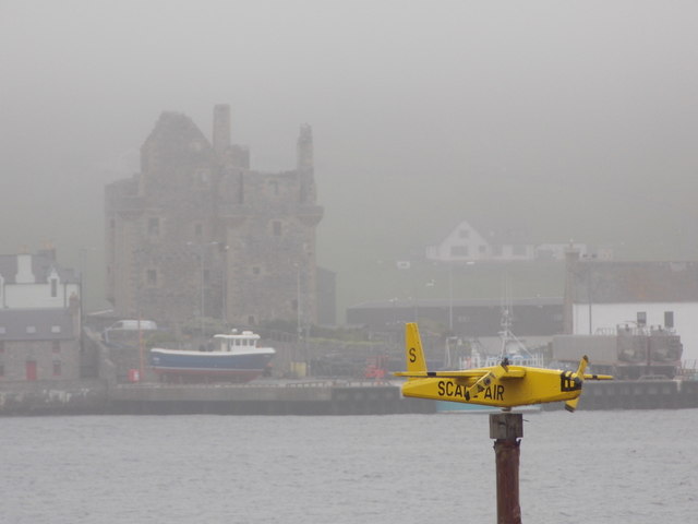
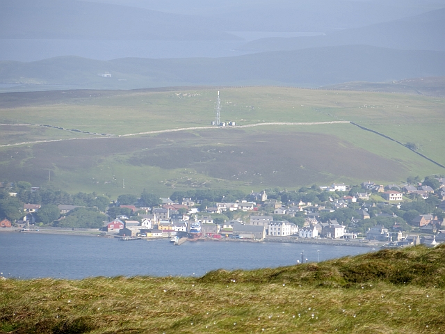
Scalloway

Scalloway (Old Norse: Skálavágr, "bay with the large house(s)") is the largest settlement on the west coast of the Mainland, the largest island of the...
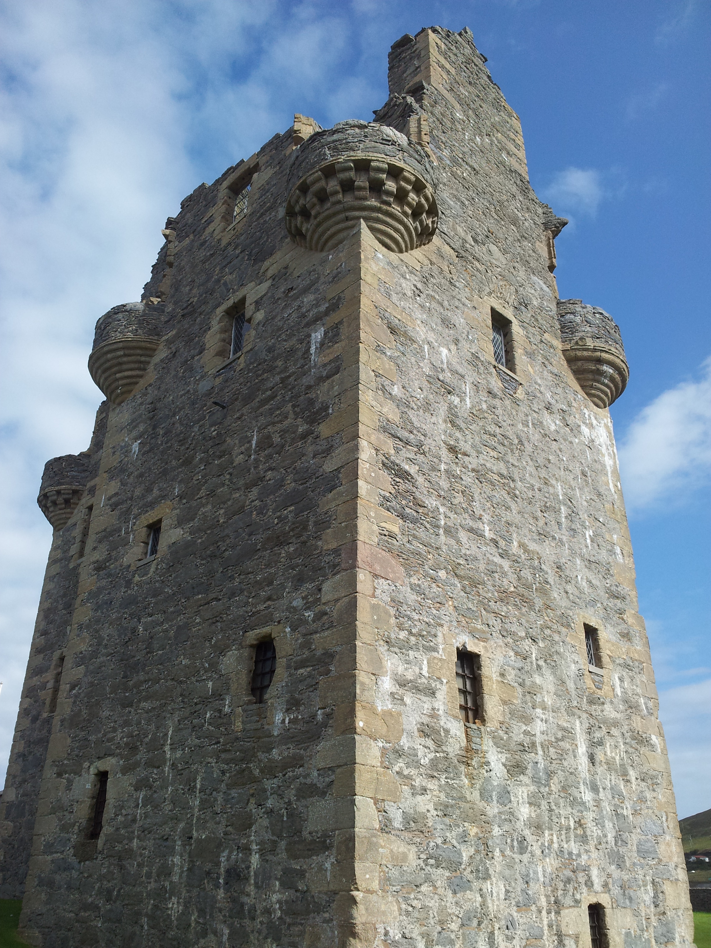
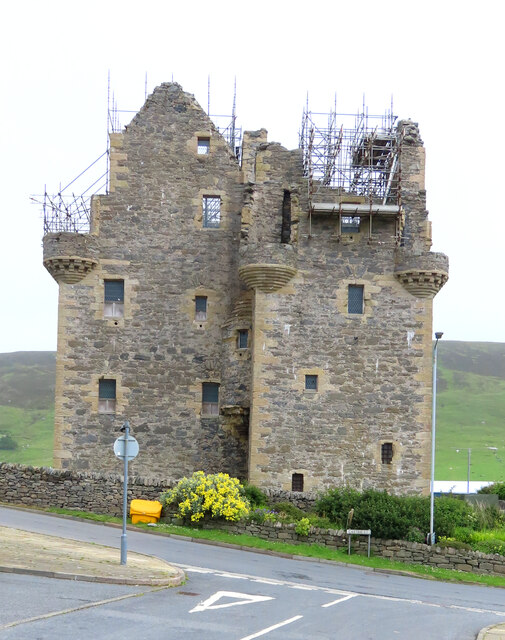
Scalloway Castle

Scalloway Castle is a tower house in Scalloway, on the Shetland Mainland, the largest island in the Shetland Islands of Scotland. The tower was built in...
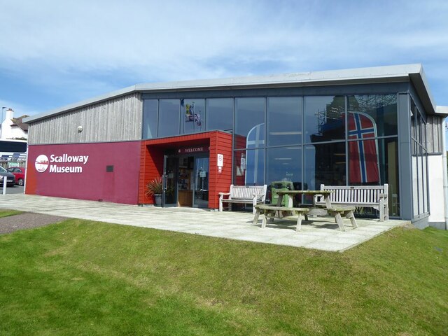
Scalloway Museum

Scalloway Museum is a local museum in Scalloway, Shetland. The museum has collections that cover the history of the Shetland Islands as well as historical...

Cutts, Shetland

Cutts is a settlement in the Shetland Islands, United Kingdom. It is on the island of Trondra off the west coast of Shetland Mainland. The B9074 crosses...

Burwick Holm

Burwick Holm is a small island off the west coast of Mainland, Shetland. It is located in the Bur Wick inlet, and near Scalloway.

Burwick

Burwick is a small peninsula north of Scalloway in the Shetland Islands, Scotland. The Hill of Burwick rises to 107 metres (351 ft), the Ness of Burwick...

Nearby Amenities

Located within 500m of 60.134043,-1.3040723
Point of the Pund
Man Made: lighthouse
Lat/Long: 60.1329332/-1.3052854
Point of Pund
Man Made: survey_point
Lat/Long: 60.1330361/-1.3047794
Power: pole
Lat/Long: 60.1326092/-1.2960495
The data included in this document is from www.openstreetmap.org. The data is made available under ODbL.

Have you been to Point of the Pund?

Leave your review of Point of the Pund below (or comments, questions and feedback).