Usta Ness
Coastal Feature, Headland, Point in Shetland
Scotland
Usta Ness
Usta Ness is a prominent coastal feature located on the island of Shetland, Scotland. Situated on the western coast of the island, it is a headland that juts out into the North Atlantic Ocean. The name "Usta Ness" is derived from the Old Norse language and translates to "the point where the east wind blows."
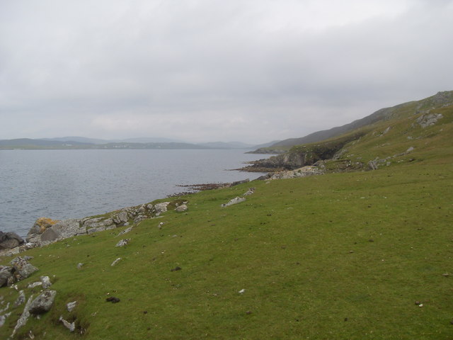
This headland is characterized by its steep cliffs, which reach impressive heights of up to 200 meters (656 feet) above sea level. These cliffs are composed of rugged rock formations, primarily consisting of basalt and sandstone. The constant pounding of the waves against the cliffs has resulted in the formation of sea caves and natural arches, adding to the striking beauty of the area.
Usta Ness is known for its rich biodiversity and serves as a habitat for various seabird species, including puffins, guillemots, and fulmars. These birds nest in the crevices of the cliffs, creating a bustling colony during the breeding season.
The headland offers stunning panoramic views of the surrounding coastline and the vast expanse of the ocean. It is a popular spot for nature enthusiasts, hikers, and photographers who are captivated by the dramatic coastal scenery.
Due to its exposed location, Usta Ness experiences strong winds and rough seas, making it a challenging area for maritime navigation. However, it also makes it an ideal spot for water sports such as surfing and windsurfing.
Overall, Usta Ness is a breathtaking coastal feature that showcases the raw beauty of Shetland's rugged coastline and provides a haven for diverse wildlife.
If you have any feedback on the listing, please let us know in the comments section below.
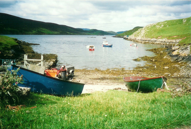
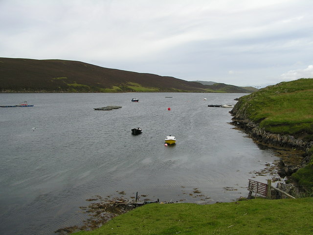
Usta Ness Images
Images are sourced within 2km of 60.161083/-1.3168329 or Grid Reference HU3842. Thanks to Geograph Open Source API. All images are credited.


Usta Ness is located at Grid Ref: HU3842 (Lat: 60.161083, Lng: -1.3168329)
Unitary Authority: Shetland Islands
Police Authority: Highlands and Islands
What 3 Words
///however.eyeful.tweezers. Near Scalloway, Shetland Islands
Nearby Locations
Related Wikis

North Havra
North Havra (Old Norse: Hafrey, ocean island) is a small island off south west Shetland. It is 30 metres at its highest point. Situated 1/3 mile from the...
Burwick
Burwick is a small peninsula north of Scalloway in the Shetland Islands, Scotland. The Hill of Burwick rises to 107 metres (351 ft), the Ness of Burwick...
Burwick Holm
Burwick Holm is a small island off the west coast of Mainland, Shetland. It is located in the Bur Wick inlet, and near Scalloway.

Whiteness, Shetland
Whiteness (Old Norse: Hvitanes, white headland) is a village in Tingwall parish, Shetland Islands, Scotland, on Mainland. It is also an ancient civil parish...
Setter Hill, Tingwall
Setter Hill is a hill in Tingwall, Shetland, Scotland. == References ==

Langa, Shetland
Langa (Old Norse: Langey ) is the collective name for two uninhabited islands off Hildasay, in Shetland, Scotland. The islands are connected by a tombolo...

Hildasay
Hildasay (Scots: Hildasay; Old Norse: Hildisey) (from the Old Norse masculine name Hildir with ey "island"), also known as Hildisay, is an uninhabited...

Linga, Scalloway Islands
Linga is a small island off Hildasay in the Shetland Islands. It is one of the Scalloway Islands. Haswell-Smith compares Hildasay and the adjacent islands...
Nearby Amenities
Located within 500m of 60.161083,-1.3168329Have you been to Usta Ness?
Leave your review of Usta Ness below (or comments, questions and feedback).