Binna Ness
Coastal Feature, Headland, Point in Shetland
Scotland
Binna Ness
Binna Ness is a prominent coastal feature located in the Shetland Islands, Scotland. Situated on the west coast of the mainland, it is known for its striking headland and rugged cliffs that extend into the North Atlantic Ocean.
The headland of Binna Ness is characterized by its steep and jagged cliffs, which rise to heights of around 100 meters (328 feet) above sea level. The cliffs are composed of layers of sedimentary rock, displaying a variety of colors and textures that add to its natural beauty. The exposed rock formations in the area provide a glimpse into the geological history of the region.
The headland is a popular spot for birdwatching, as it serves as a nesting site for numerous seabirds. Visitors can often spot species such as puffins, guillemots, and razorbills, among others. The area is also home to a diverse range of flora and fauna, with heather, mosses, and grasses covering the land.
Access to Binna Ness is relatively easy, with a well-maintained path leading to the headland. From the top, visitors are rewarded with breathtaking panoramic views of the surrounding coastline, the Atlantic Ocean, and the neighboring islands. The ever-changing weather conditions in the Shetland Islands add to the dramatic and awe-inspiring atmosphere of Binna Ness.
Overall, Binna Ness is a significant coastal feature in the Shetland Islands, offering visitors a chance to immerse themselves in the natural beauty and wildlife of the region.
If you have any feedback on the listing, please let us know in the comments section below.
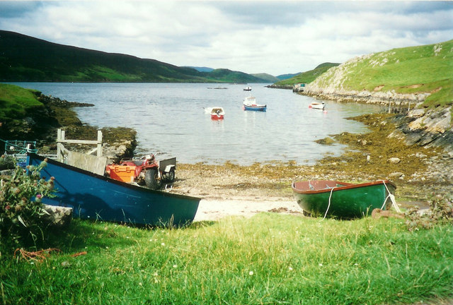
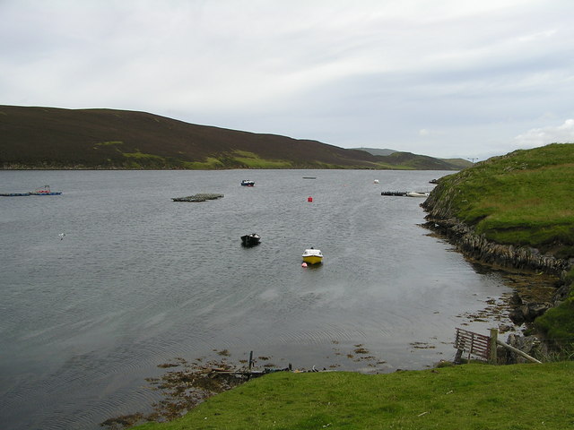
Binna Ness Images
Images are sourced within 2km of 60.168991/-1.3250302 or Grid Reference HU3742. Thanks to Geograph Open Source API. All images are credited.


Binna Ness is located at Grid Ref: HU3742 (Lat: 60.168991, Lng: -1.3250302)
Unitary Authority: Shetland Islands
Police Authority: Highlands and Islands
What 3 Words
///slurping.singers.stoppage. Near Scalloway, Shetland Islands
Nearby Locations
Related Wikis

North Havra
North Havra (Old Norse: Hafrey, ocean island) is a small island off south west Shetland. It is 30 metres at its highest point. Situated 1/3 mile from the...

Whiteness, Shetland
Whiteness (Old Norse: Hvitanes, white headland) is a village in Tingwall parish, Shetland Islands, Scotland, on Mainland. It is also an ancient civil parish...

Hoy, Shetland
Hoy (Háey, Old Norse for 'high island') is a small island in Weisdale Voe, an arm of the sea in the Shetland islands, Scotland. Nearby are the smaller...
Burwick
Burwick is a small peninsula north of Scalloway in the Shetland Islands, Scotland. The Hill of Burwick rises to 107 metres (351 ft), the Ness of Burwick...
Burwick Holm
Burwick Holm is a small island off the west coast of Mainland, Shetland. It is located in the Bur Wick inlet, and near Scalloway.
Setter Hill, Tingwall
Setter Hill is a hill in Tingwall, Shetland, Scotland. == References ==

Hildasay
Hildasay (Scots: Hildasay; Old Norse: Hildisey) (from the Old Norse masculine name Hildir with ey "island"), also known as Hildisay, is an uninhabited...

Flotta, Shetland
Flotta (grid reference HU375462) is an island off the south west of Mainland, Shetland. The name may come from the Old Norse, flatey meaning flat island...
Nearby Amenities
Located within 500m of 60.168991,-1.3250302Have you been to Binna Ness?
Leave your review of Binna Ness below (or comments, questions and feedback).