The Neapack
Coastal Feature, Headland, Point in Shetland
Scotland
The Neapack

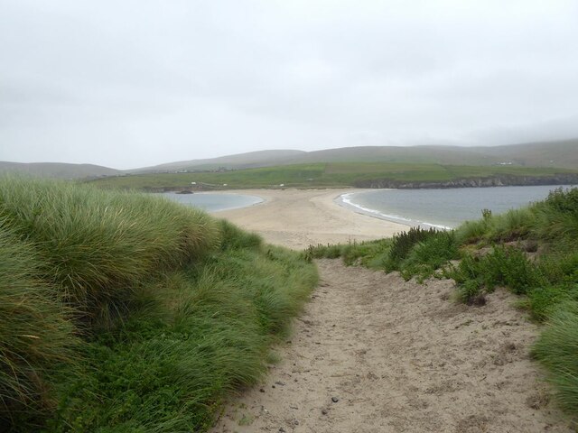
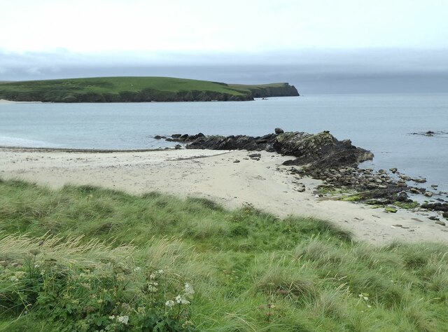
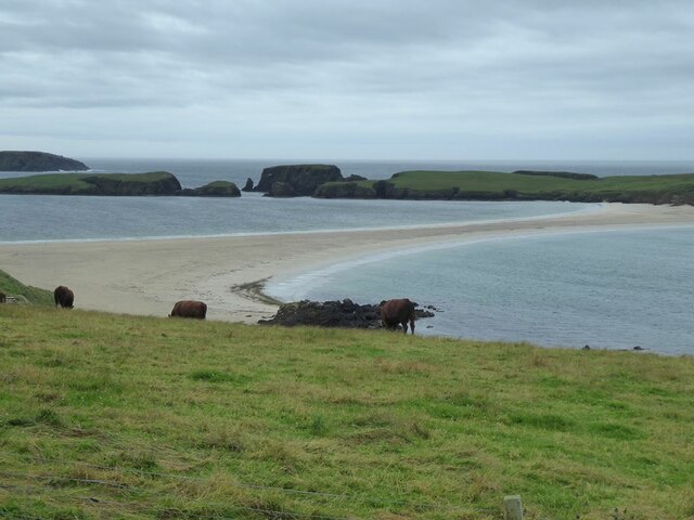
The Neapack is a prominent coastal feature located in the Shetland Islands, an archipelago situated off the northeastern coast of Scotland. It is classified as a headland or point due to its distinctive shape and geographical characteristics.
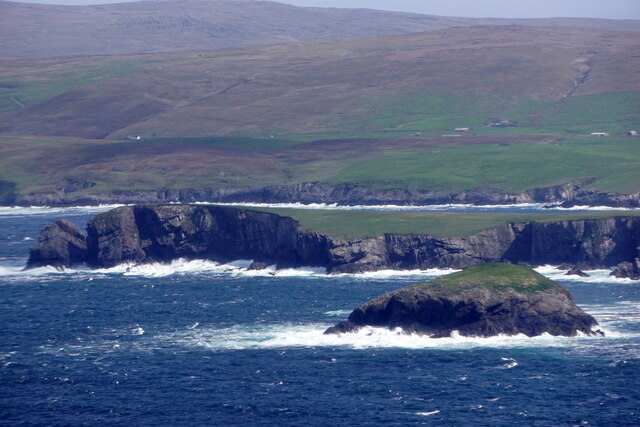
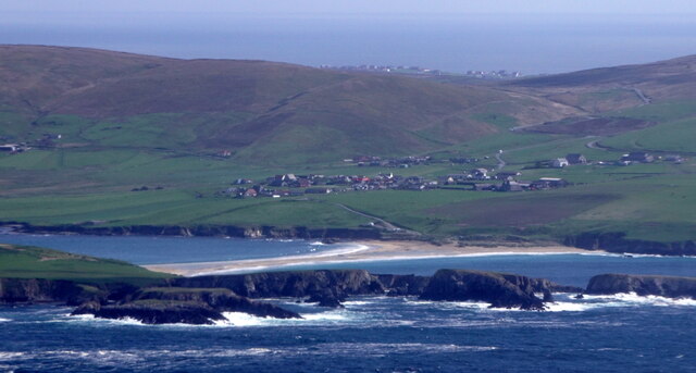
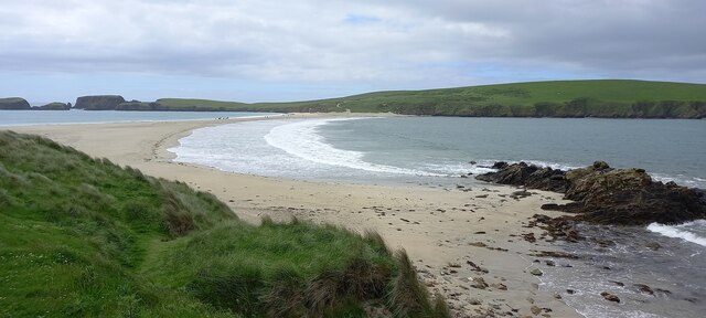
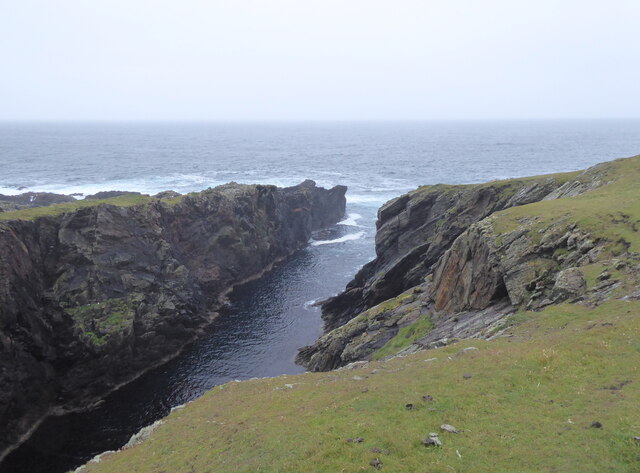
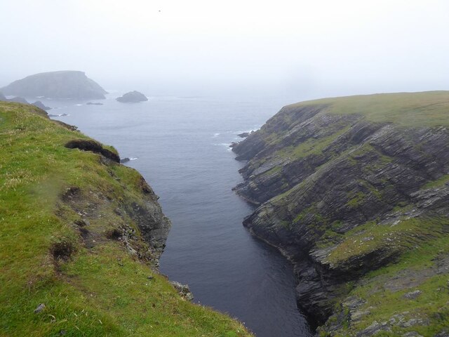
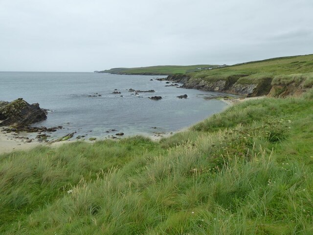
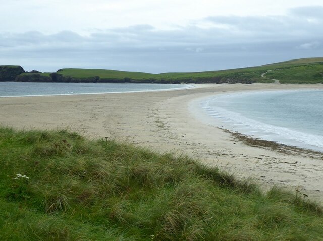
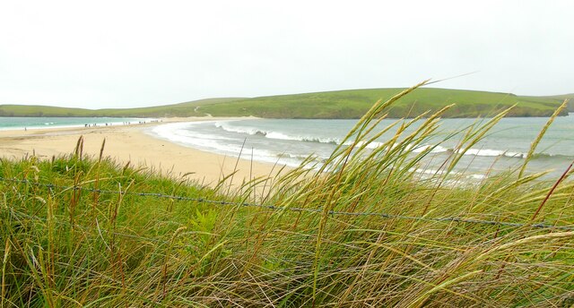
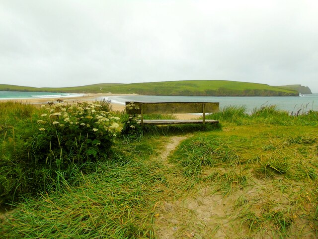
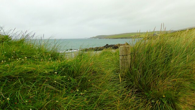
The Neapack is situated on the western coast of the main Shetland Island, known as the Mainland, and is positioned between the settlements of Sumburgh and Grutness. It is nestled within an area of rugged and dramatic coastline, characterized by steep cliffs and rocky outcrops. The headland itself juts out into the North Sea, offering breathtaking views of the surrounding waters and the nearby islands.
Rising to an elevation of approximately 100 meters (328 feet), the Neapack is composed of ancient sedimentary rock formations, which have been shaped over centuries by the relentless force of the sea. Its geology is of great interest to geologists and rock enthusiasts, as it provides valuable insights into the region's geological history.
The Neapack is home to a diverse range of wildlife, including various seabird species such as puffins, fulmars, and guillemots. The surrounding waters are also rich in marine life, with seals frequently seen basking on nearby rocky outcrops. The area is a popular destination for birdwatchers and nature enthusiasts, who visit to observe the abundant wildlife and enjoy the stunning natural scenery.
Overall, the Neapack is a captivating coastal feature in the Shetland Islands, known for its dramatic cliffs, stunning views, and rich biodiversity. Its geological significance and natural beauty make it a must-visit destination for anyone exploring the region.
If you have any feedback on the listing, please let us know in the comments section below.
The Neapack Images
Images are sourced within 2km of 59.979421/-1.3535989 or Grid Reference HU3621. Thanks to Geograph Open Source API. All images are credited.


The Neapack is located at Grid Ref: HU3621 (Lat: 59.979421, Lng: -1.3535989)
Unitary Authority: Shetland Islands
Police Authority: Highlands and Islands
What 3 Words
///rezoning.cries.depending. Near Sandwick, Shetland Islands
Nearby Locations
Related Wikis

St Ninian's Isle
St Ninian's Isle is a small tied island connected by the largest tombolo in the UK to the south-western coast of the Mainland, Shetland, in Scotland. It...

Bigton
Bigton is a small settlement on South Mainland, Shetland, UK. Bigton is within the civil parish of Dunrossness.Bigton lies on the Atlantic coast of the...

Colsay
Colsay is an uninhabited island off the South West coast of Mainland, Shetland. Fora Ness lies to the south, across the Muckle Sound. The highest elevation...

Scousburgh
Scousburgh is a small community in the parish of Dunrossness, in the South Mainland of Shetland, Scotland, overlooking the picturesque Scousburgh Sand...
Little Havra
Little Havra is a small island off the west of South Mainland in Shetland. It is 35 metres (115 ft) at its highest point, upon which there is a cairn....

Levenwick
Levenwick is a small village about 17 miles (27 km) south of Lerwick, on the east side of the South Mainland of Shetland, Scotland. It is part of the parish...

South Havra
South Havra (Scots: Sooth Haevra; Old Norse: Hafrey), formerly Hevera, is an uninhabited island in the Scalloway Islands, Shetland, Scotland. == Geography... ==

Lochs of Spiggie and Brow
The Lochs of Spiggie and Brow are located west of Boddam in the parish of Dunrossness, in the South Mainland of Shetland, Scotland, about 6 km north of...
Have you been to The Neapack?
Leave your review of The Neapack below (or comments, questions and feedback).