Ness of Queyfirth
Coastal Feature, Headland, Point in Shetland
Scotland
Ness of Queyfirth
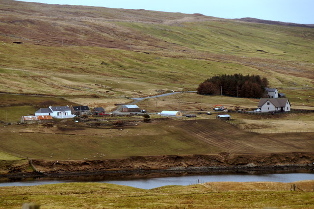
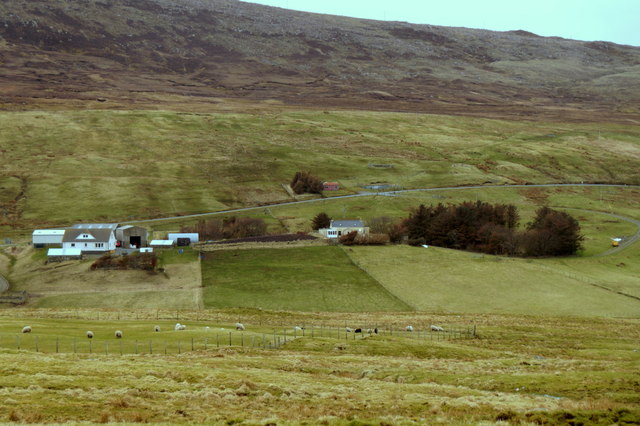
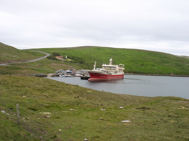
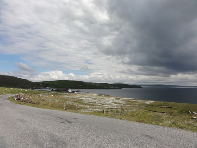
Ness of Queyfirth is a prominent headland situated on the Shetland Islands, an archipelago located off the north coast of mainland Scotland. This coastal feature is located on the western side of the island of Mainland, near the village of Sandness.
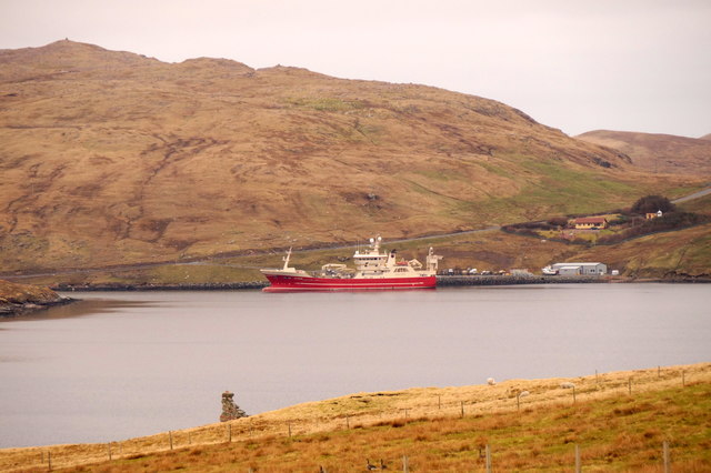
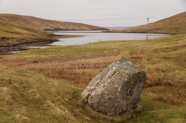
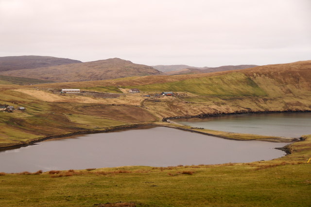
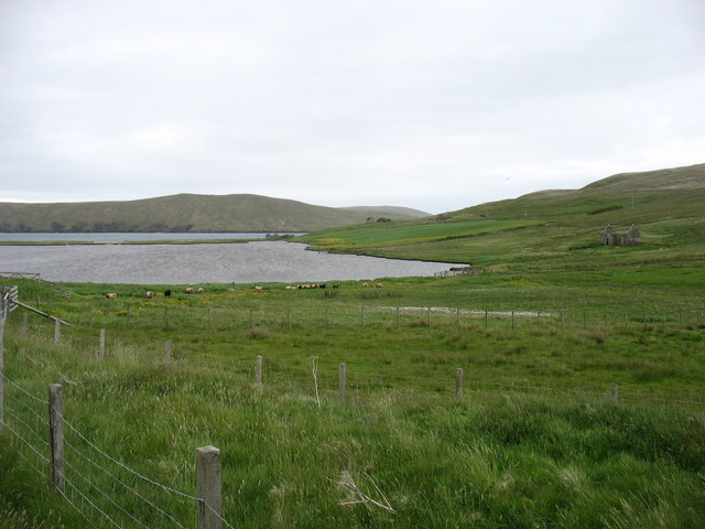
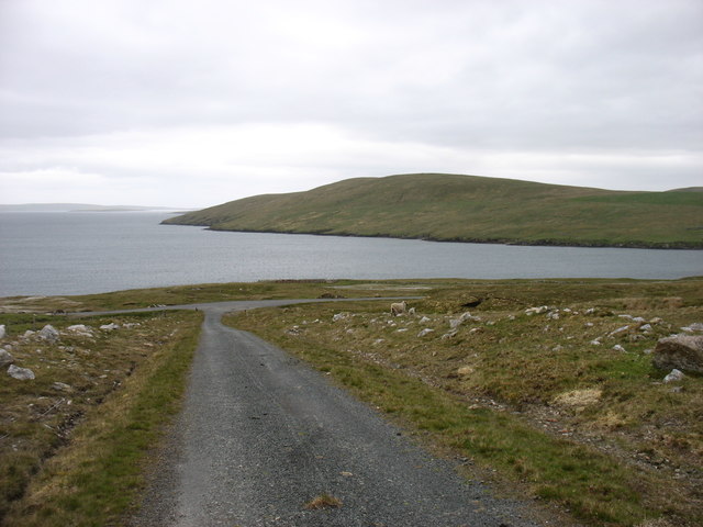
Ness of Queyfirth juts out into the North Atlantic Ocean, creating a striking and picturesque landscape. It is characterized by steep cliffs that rise dramatically from the sea, reaching heights of up to 300 feet (91 meters). These cliffs are composed of rugged rock formations, showcasing layers of sedimentary rocks that have been shaped by the relentless power of the ocean over millions of years.
The headland offers breathtaking views of the surrounding coastline and the vast expanse of the Atlantic Ocean. It is also a haven for a variety of seabirds, including puffins, guillemots, and fulmars, which nest in the crevices of the cliffs. Wildlife enthusiasts and birdwatchers often flock to Ness of Queyfirth to observe these fascinating creatures in their natural habitat.
In addition to its natural beauty, Ness of Queyfirth holds historical significance. The remains of ancient settlements, dating back thousands of years, have been discovered in the area. These archaeological sites provide insights into the lives of the early inhabitants of the Shetland Islands, their way of life, and their connection to the sea.
Overall, Ness of Queyfirth is a captivating coastal feature that combines stunning natural scenery, abundant wildlife, and a rich historical heritage, making it a must-visit destination for nature lovers and history enthusiasts alike.
If you have any feedback on the listing, please let us know in the comments section below.
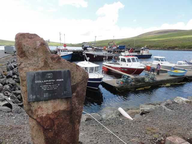
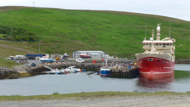
Ness of Queyfirth Images
Images are sourced within 2km of 60.525876/-1.3419043 or Grid Reference HU3682. Thanks to Geograph Open Source API. All images are credited.


Ness of Queyfirth is located at Grid Ref: HU3682 (Lat: 60.525876, Lng: -1.3419043)
Unitary Authority: Shetland Islands
Police Authority: Highlands and Islands
What 3 Words
///swim.scripted.swells. Near Toft, Shetland Islands
Nearby Locations
Related Wikis

Ollaberry
Ollaberry (Old Norse: Olafrsberg, meaning Olaf's Hill) is a village on Mainland, Shetland, Scotland on the west shore of Yell Sound, 10.9 miles (17.5 km...

Lamba, Shetland
Lamba is an uninhabited island in Yell Sound in Shetland. It lies 1.5 km (0.93 mi) north of the entrance to the Sullom Voe inlet and 1.4 kilometres (0...

Voe, Northmavine
Voe is a settlement on the Northmavine peninsula of Mainland, Shetland, Scotland. It is at the head of Ronas Voe and just off the A970 road. == Whaling... ==

Northmavine
Northmavine or Northmaven (Old Norse: Norðan Mæfeið, meaning ‘the land north of the Mavis Grind’) is a peninsula in northwest Mainland Shetland in Scotland...

Eela Water
Eela Water is a freshwater loch (lake) in Northmavine, part of the mainland of Shetland in Scotland. Besides being a freshwater fishing location, the site...

Little Roe
Little Roe is an island in Yell Sound in the Shetland Islands == History == The island's name is Norse in origin, from Rauðey Litla, meaning "small red...

Little Holm, Yell Sound
Little Holm is a small island in Yell Sound, in Shetland, Scotland. It lies between Northmavine and the island of Yell. There is a lighthouse here. In...

Ronas Hill
Ronas Hill (or Rönies Hill) is a hill in Shetland, Scotland. It is classed as a Marilyn, and is the highest point in the Shetland Islands at an elevation...
Nearby Amenities
Located within 500m of 60.525876,-1.3419043Have you been to Ness of Queyfirth?
Leave your review of Ness of Queyfirth below (or comments, questions and feedback).