Ness of Houll
Coastal Feature, Headland, Point in Shetland
Scotland
Ness of Houll

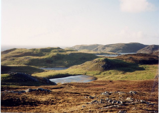
Ness of Houll is a prominent headland located on the eastern coast of Shetland, an archipelago in Scotland. Situated at the southern end of the island of Yell, it is known for its rugged and dramatic coastal cliffs, making it a popular destination for hikers and nature enthusiasts.
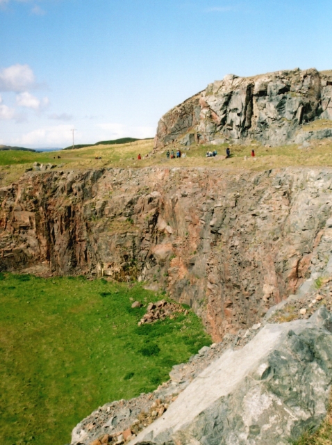
The headland is characterized by steep cliffs that rise up to 100 meters (328 feet) above sea level, providing stunning panoramic views of the surrounding waters and the nearby islands. The cliffs are composed mainly of sedimentary rocks, including sandstone and shale, which have been shaped by years of erosion from the relentless waves of the North Sea.
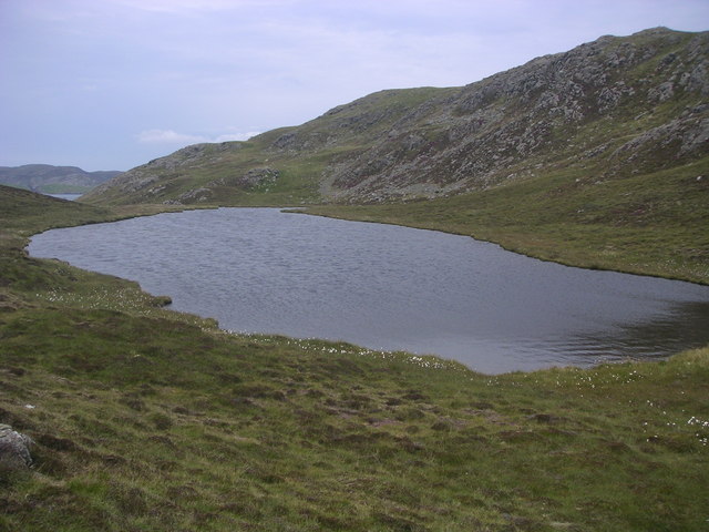
The area surrounding Ness of Houll is rich in wildlife, offering opportunities for birdwatching and marine life observation. Various seabirds, such as puffins, guillemots, and razorbills, nest along the cliffs during the summer months. Grey seals can often be spotted lounging on the rocks, while porpoises and dolphins occasionally make appearances in the waters below.
Aside from its natural beauty, Ness of Houll also holds historical significance. The remains of a broch, an Iron Age fortified structure, can be found on the headland. This ancient structure offers insights into the island's past and provides a glimpse into the lives of its inhabitants thousands of years ago.
Overall, Ness of Houll is a captivating coastal feature that showcases the raw beauty and rich history of Shetland. Its striking cliffs, diverse wildlife, and archaeological remains make it a must-visit destination for those exploring the island.
If you have any feedback on the listing, please let us know in the comments section below.
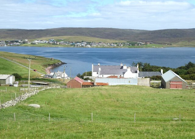
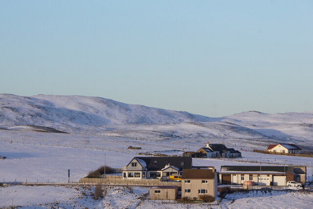
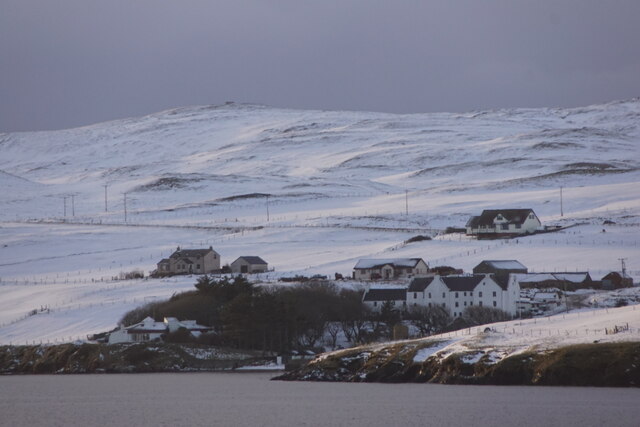
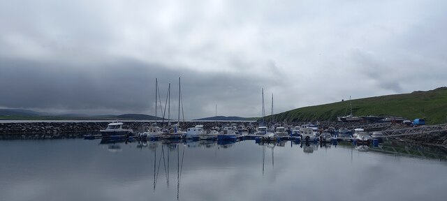
Ness of Houll Images
Images are sourced within 2km of 60.395738/-1.39073 or Grid Reference HU3368. Thanks to Geograph Open Source API. All images are credited.


Ness of Houll is located at Grid Ref: HU3368 (Lat: 60.395738, Lng: -1.39073)
Unitary Authority: Shetland Islands
Police Authority: Highlands and Islands
What 3 Words
///nylon.hammocks.ruins. Near Brae, Shetland Islands
Nearby Locations
Related Wikis

Mavis Grind
Mavis Grind (Old Norse: Mæfeiðs grind or Mæveiðs grind, meaning "gate of the narrow isthmus") is a narrow isthmus joining the Northmavine peninsula to...

Busta Voe
Busta Voe, (HU665350), in the north central Mainland, Shetland, is a sea inlet lying between the village of Brae and the island of Muckle Roe. At the head...

Brae
"Brae" is also the Lowland Scots language word for the slope or brow of a hill.Brae (Old Norse: Breiðeið, meaning "the wide isthmus") is a village on the...

Muckle Roe
Muckle Roe is an island in Shetland, Scotland, in St. Magnus Bay, to the west of Mainland. It has a population of around 130 people, who mainly croft and...
Linga, Busta Voe
Linga is a small, uninhabited island, 1 km (0.62 mi) east of Muckle Roe in the Shetland Islands. The island is roughly circular in shape and its highest...
Sullom
Sullom is a village on the Shetland peninsula of Northmavine, between Haggrister and Bardister. It lies on the northwest side of Sullom Voe, to which it...

Delting
Delting is a civil parish and community council area on Mainland, Shetland, Scotland. It includes the Sullom Voe oil terminal and its main settlements...
Gunnister
Gunnister is a small 'abandoned' village at the North-West Mainland in Shetland, Scotland. It is most commonly known for the Gunnister Man - the remains...
Nearby Amenities
Located within 500m of 60.395738,-1.39073Have you been to Ness of Houll?
Leave your review of Ness of Houll below (or comments, questions and feedback).