Trout's Ness
Coastal Feature, Headland, Point in Shetland
Scotland
Trout's Ness
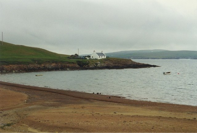
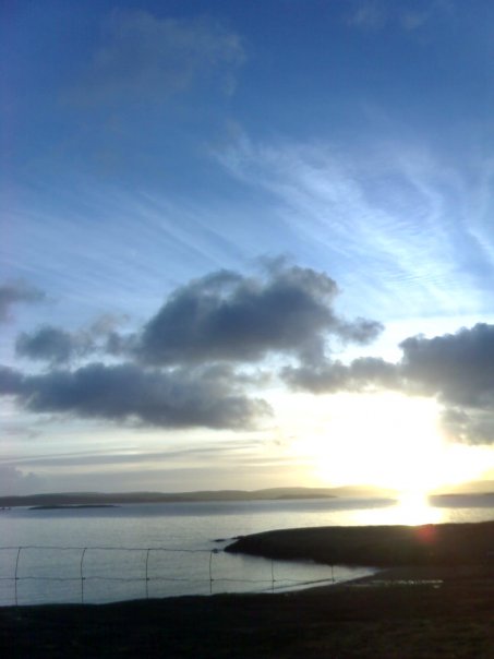
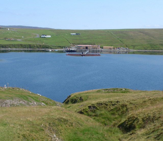
Trout's Ness is a prominent coastal feature located in the Shetland Islands, situated in the northernmost part of Scotland. It is classified as a headland, also known as a point, jutting out into the North Atlantic Ocean. With its stunning cliffs and rugged landscape, Trout's Ness offers breathtaking views and is a popular destination for nature enthusiasts and photographers.
The headland is characterized by its unique geology, consisting of layered sedimentary rocks, primarily sandstone and shale, formed millions of years ago. These formations have been sculpted by the relentless force of the ocean waves, resulting in striking cliffs that reach heights of up to 200 feet in some areas. The cliffs are home to a variety of seabirds, including puffins, guillemots, and razorbills, making it an ideal spot for birdwatching.
Trout's Ness is also known for its rich marine life. The surrounding waters are teeming with diverse species, attracting anglers and divers alike. Common fish found in the area include cod, haddock, and mackerel, while seals and porpoises can often be spotted swimming in the vicinity.
Access to Trout's Ness is relatively easy, with a path leading to the headland from the nearby village. Visitors can enjoy leisurely walks along the cliff edge, taking in the awe-inspiring scenery and the invigorating sea breeze. However, caution is advised as the cliffs can be steep in certain areas, and visitors are urged to stay on designated paths for their safety.
In conclusion, Trout's Ness is a captivating headland in Shetland, offering stunning views, diverse wildlife, and opportunities for outdoor activities. Its geological formations and natural beauty make it a must-visit destination for those exploring the Shetland Islands.
If you have any feedback on the listing, please let us know in the comments section below.
Trout's Ness Images
Images are sourced within 2km of 60.200267/-1.40222 or Grid Reference HU3346. Thanks to Geograph Open Source API. All images are credited.


Trout's Ness is located at Grid Ref: HU3346 (Lat: 60.200267, Lng: -1.40222)
Unitary Authority: Shetland Islands
Police Authority: Highlands and Islands
What 3 Words
///smug.insects.somewhere. Near Aith, Shetland Islands
Nearby Locations
Related Wikis

Sandsting
Sandsting is a parish in the West Mainland of Shetland, Scotland, forming a southern arm of the Walls Peninsula. After the parish of Aithsting was annexed...

Skeld
Skeld (Old Norse: Skjolðr, Shield or shelter) refers to two villages on the south side of the West Mainland of Shetland, Scotland. The main village is...

Flotta, Shetland
Flotta (grid reference HU375462) is an island off the south west of Mainland, Shetland. The name may come from the Old Norse, flatey meaning flat island...

Hoy, Shetland
Hoy (Háey, Old Norse for 'high island') is a small island in Weisdale Voe, an arm of the sea in the Shetland islands, Scotland. Nearby are the smaller...
Greena
Greena is a small island off the west coast of Mainland, Shetland. It is 10m at its highest point, and is north of Flotta, Shetland. It is in Weisdale...

North Havra
North Havra (Old Norse: Hafrey, ocean island) is a small island off south west Shetland. It is 30 metres at its highest point. Situated 1/3 mile from the...

Silwick
Silwick, a once thriving community in the West Mainland, Shetland, Scotland about three miles from Skeld, is now almost deserted. The area has dramatic...

Westerfield, Shetland
Westerfield is a coastal community on Mainland, in Shetland, Scotland. The community is within the parish of Sandsting.It lies to the west of Tresta on...
Nearby Amenities
Located within 500m of 60.200267,-1.40222Have you been to Trout's Ness?
Leave your review of Trout's Ness below (or comments, questions and feedback).