Skeo Head

Coastal Feature, Headland, Point in Shetland

Scotland

Skeo Head

Ronas Voe A long inlet on the north-west of Shetland Mainland. It reminds me a bit of Killary Harbour in Galway, on the west coast of Ireland.
Ronas Voe Credit: David Purchase

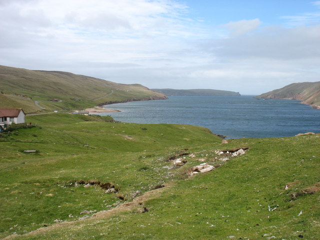
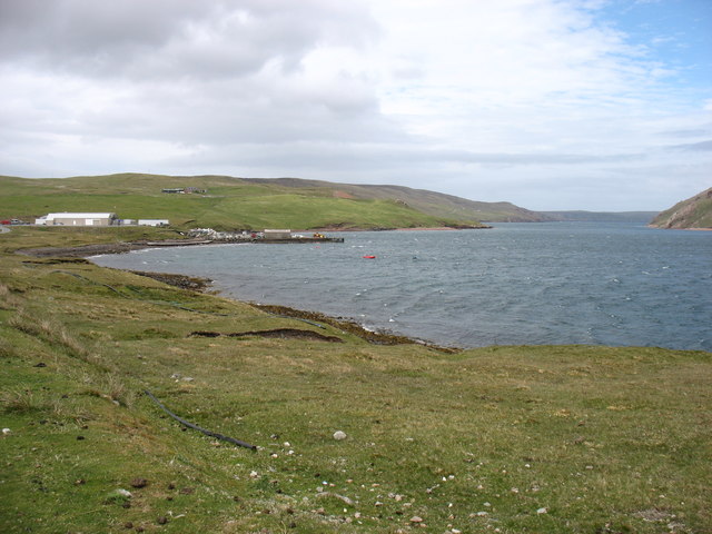
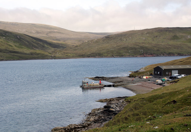
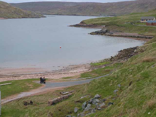
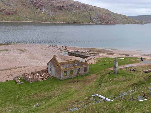
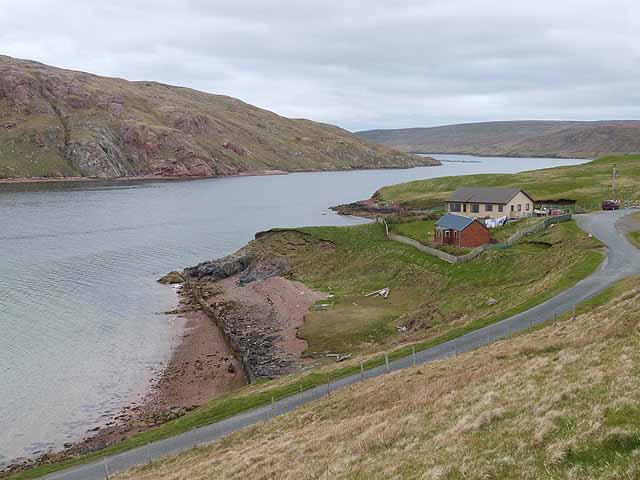
Skea Head is a prominent coastal feature located on the island of Shetland, Scotland. It is a headland that juts out into the North Sea, forming a point that is known for its rugged and scenic beauty.

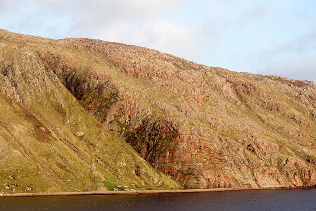
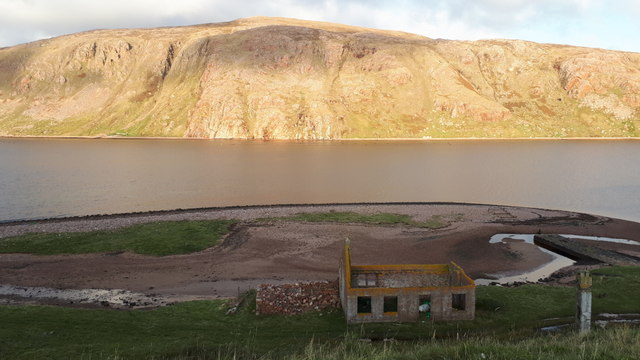
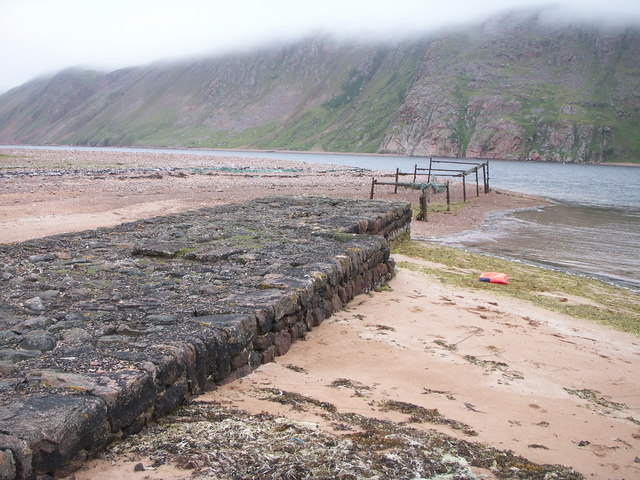
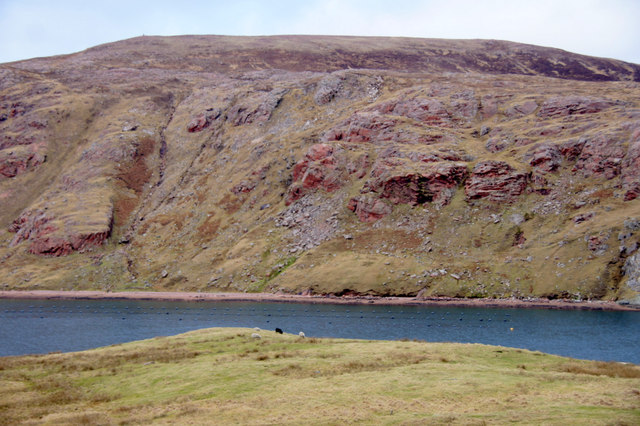
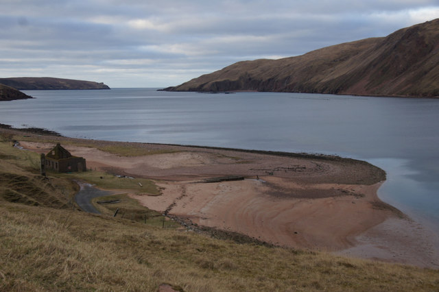
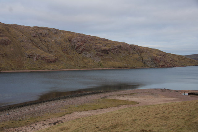
The headland is characterized by its steep cliffs, which rise dramatically from the sea below. These cliffs, made of hard rock formations, reach heights of up to 100 meters in some places, providing breathtaking views of the surrounding coastline. The cliffs are also home to a variety of seabirds, including puffins, fulmars, and kittiwakes, making it a popular spot for birdwatchers.

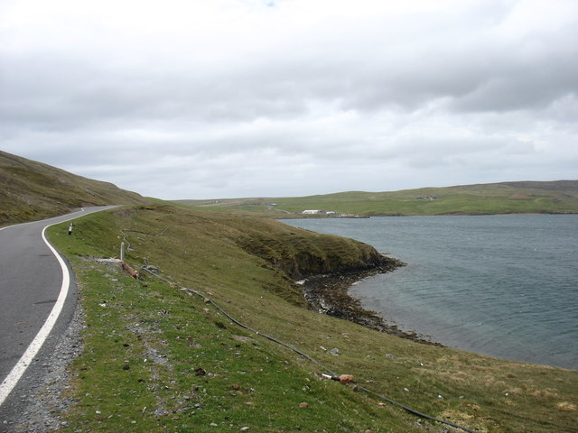
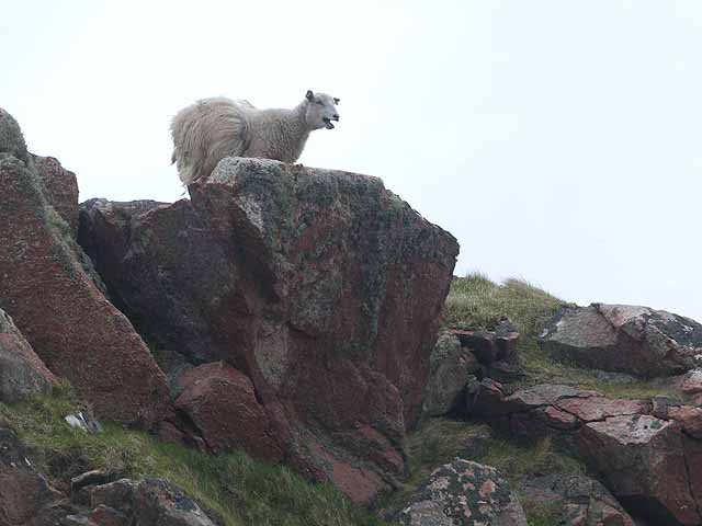
The landscape around Skea Head is dominated by grassy meadows and heathland, providing a habitat for a range of wildflowers and plant species. The headland is also home to a diverse range of wildlife, including seals, otters, and occasionally, dolphins and whales can be spotted offshore.

Due to its exposed location, Skea Head is often subject to strong winds and rough seas, making it a challenging place for sailors and fishermen. However, this also adds to its allure, as the crashing waves against the cliffs create a dramatic and impressive sight.

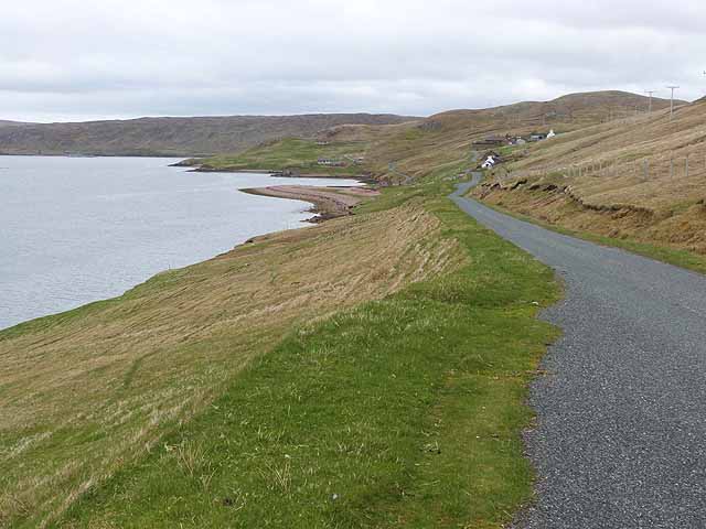
Skea Head is a popular destination for hikers and nature enthusiasts, who come to explore its rugged trails and enjoy its panoramic views. It offers a unique opportunity to experience the wild and untamed beauty of the Shetland coastline, making it a must-visit location for those seeking natural wonders.

If you have any feedback on the listing, please let us know in the comments section below.

Skeo Head Images

Images are sourced within 2km of 60.504215/-1.4478838 or Grid Reference HU3080. Thanks to Geograph Open Source API. All images are credited.

Ronas Voe A long inlet on the north-west of Shetland Mainland. It reminds me a bit of Killary Harbour in Galway, on the west coast of Ireland.
Ronas Voe
A long inlet on the north-west of Shetland Mainland. It reminds me a bit of Killary Harbour in Galway, on the west coast of Ireland.
The Trip, Ronas Voe
The Trip, Ronas Voe
The Blade and Ronas Hill
Ronas Voe
Ronas Voe
Ronas Voe One of the longest sea lochs in Shetland.
Ronas Voe
One of the longest sea lochs in Shetland.
Ronas Voe A view across the water
Ronas Voe
A view across the water
Blueshell Mussels Limited's Ronas Voe fishery Acquired from Aqua Farm Ltd. in 2007.
Blueshell Mussels Limited's Ronas Voe fishery
Acquired from Aqua Farm Ltd. in 2007.
Pier at the Blade, Ronas Voe
Heylor - derelict herring processing station Wooden sheds once stood on either side of the chimney stack on the left of the picture - to accommodate the 'herring girls' who worked in teams of three: two gutting and one packing the herring, paid by the barrel.
Heylor - derelict herring processing station
Wooden sheds once stood on either side of the chimney stack on the left of the picture - to accommodate the 'herring girls' who worked in teams of three: two gutting and one packing the herring, paid by the barrel.
View across Ronas Voe at Heylor The cairn on Abram's Ward is just visible on the skyline.
View across Ronas Voe at Heylor
The cairn on Abram's Ward is just visible on the skyline.
The Blade, Ronas Voe An old fishing station - the pier is engulfed by sand, just about dead centre of the photo.
The Blade, Ronas Voe
An old fishing station - the pier is engulfed by sand, just about dead centre of the photo.
The Blade, Ronas Voe
The Trip, Ronas Voe The cliff in the centre is the Trip. The cairn on Abram's Ward is visible on the horizon.
The Trip, Ronas Voe
The cliff in the centre is the Trip. The cairn on Abram's Ward is visible on the horizon.
Heylor, Ronas Voe Looking east along the single track road above Ronas Voe.
Heylor, Ronas Voe
Looking east along the single track road above Ronas Voe.
Ronas Voe Looking up the Voe from a point above the Blade.
Ronas Voe
Looking up the Voe from a point above the Blade.
Old herring processing plant at the Blade An old chimney stack and disused pier can also be seen at this abandoned fishing station on the south shore of Ronas Voe.
Old herring processing plant at the Blade
An old chimney stack and disused pier can also be seen at this abandoned fishing station on the south shore of Ronas Voe.
Cottages on Ronas Voe Typical of the wooden prefabricated cottages sited above the Voe.
Cottages on Ronas Voe
Typical of the wooden prefabricated cottages sited above the Voe.
Sheep on the lookout Above Ronas Voe
Sheep on the lookout
Above Ronas Voe
Show me another place!

Skeo Head is located at Grid Ref: HU3080 (Lat: 60.504215, Lng: -1.4478838)

Unitary Authority: Shetland Islands

Police Authority: Highlands and Islands

What 3 Words

///airship.fluctuate.publish. Near Brae, Shetland Islands

Nearby Locations

Skeo Head Hollanders' Ayre

Related Wikis

Battle of Ronas Voe

The Battle of Ronas Voe was a naval engagement between the English Royal Navy and the Dutch East India ship Wapen van Rotterdam on 14 March 1674 in Ronas...

Assater

Assater (also spelled Assetter) is a hamlet on Mainland, in Shetland, Scotland. Assater is situated in the parish of Northmaven. It is about 1.3 miles...

Heylor

Heylor is a settlement situated on the south side of Ronas Voe in Northmavine, Shetland, Scotland. It lies directly opposite Ronas Hill, Shetland's tallest...

Ronas Voe

Ronas Voe (pronounced [ˈrø̞nis ˌvo̞:] Shaetlan: Rønies Voe) is a voe in Northmavine, Shetland. It divides the land between Ronas Hill, Shetland's tallest...

Nearby Amenities

Located within 500m of 60.504215,-1.4478838
Passing Place
Lat/Long: 60.5037788/-1.4408316
Passing Place
Lat/Long: 60.5036099/-1.4441622
Barrier: cattle_grid
Lat/Long: 60.5036746/-1.4480272
Barrier: cattle_grid
Lat/Long: 60.5041936/-1.4478283
Passing Place
Lat/Long: 60.5030651/-1.4497125
Power: pole
Lat/Long: 60.5039019/-1.4490294
Power: pole
Lat/Long: 60.5037061/-1.4494967
Power: pole
Lat/Long: 60.5033756/-1.45029
Power: pole
Lat/Long: 60.5030582/-1.4510593
Power: pole
Lat/Long: 60.5024115/-1.4520731
Power: pole
Lat/Long: 60.5018746/-1.4529023
Power: pole
Lat/Long: 60.5013731/-1.4537196
Da Hollanders' Graves
Historic: memorial
Inscription: The Hollanders' Graves
Man Made: cairn
Material: stone
Memorial: war_memorial
Lat/Long: 60.5058042/-1.4521576
The data included in this document is from www.openstreetmap.org. The data is made available under ODbL.

Have you been to Skeo Head?

Leave your review of Skeo Head below (or comments, questions and feedback).