Abram's Taing
Coastal Feature, Headland, Point in Shetland
Scotland
Abram's Taing
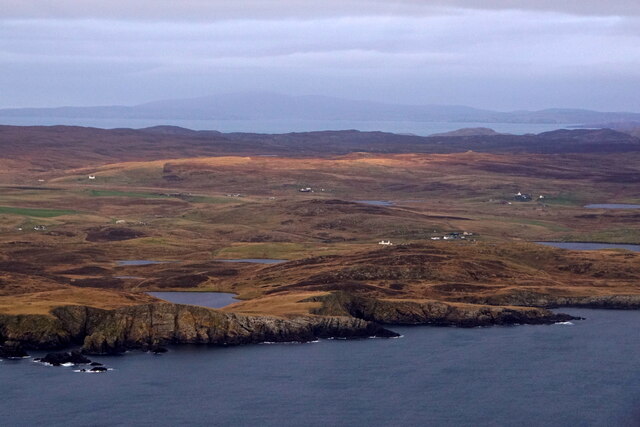
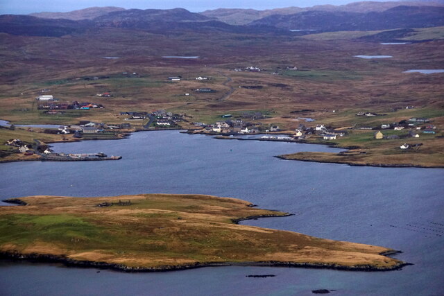
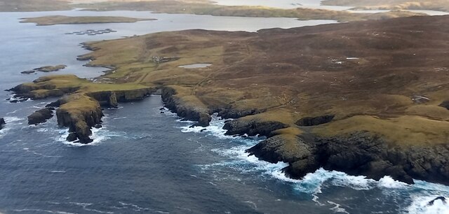
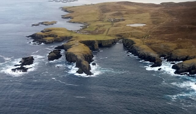
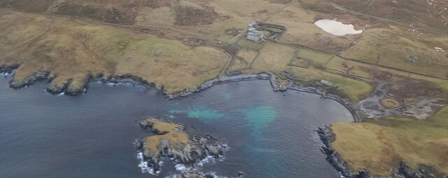
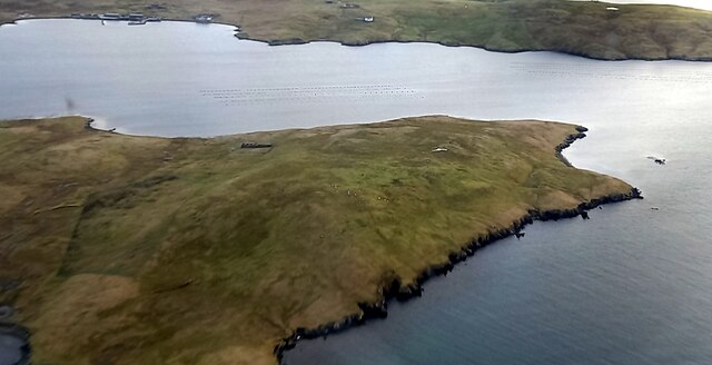
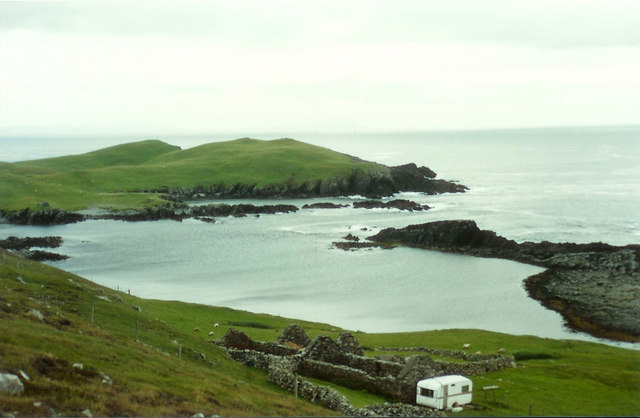
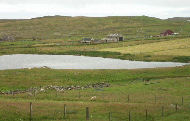
Abram's Taing is a prominent coastal feature located in the Shetland Islands, an archipelago in Scotland, United Kingdom. This headland or point is situated on the western coast of the mainland, near the village of Walls.
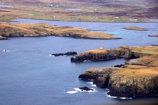
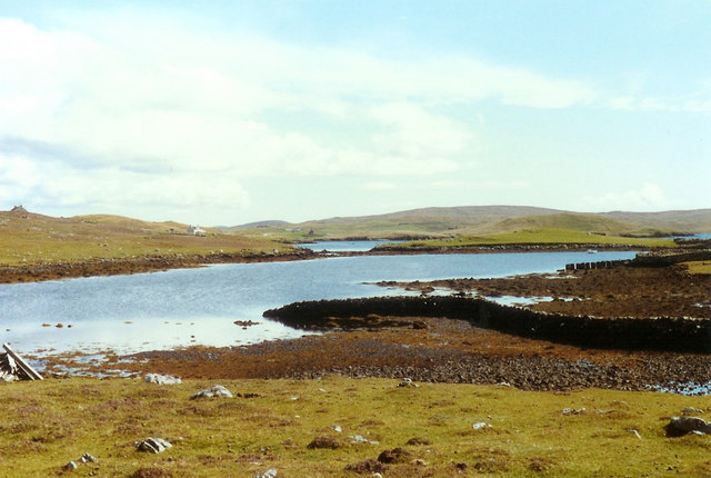
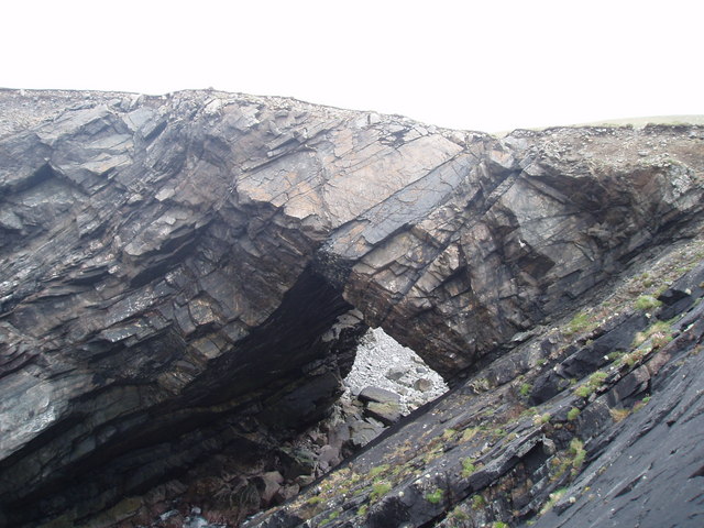
Abram's Taing is characterized by its rugged and rocky terrain, jutting out into the North Atlantic Ocean. The headland offers stunning panoramic views of the surrounding coastal landscape, with its dramatic cliffs and crashing waves.
The name "Taing" originates from the Old Norse word "tangi," meaning a narrow strip of land. This name accurately describes the physical characteristics of Abram's Taing, as it extends out into the sea in a narrow formation.
The headland is a popular destination for nature enthusiasts and outdoor adventurers. Hikers can explore the area and enjoy the diverse flora and fauna that inhabit the cliffs and surrounding areas. Birdwatchers are particularly drawn to Abram's Taing, as it serves as a nesting ground for various seabird species, including puffins, fulmars, and guillemots.
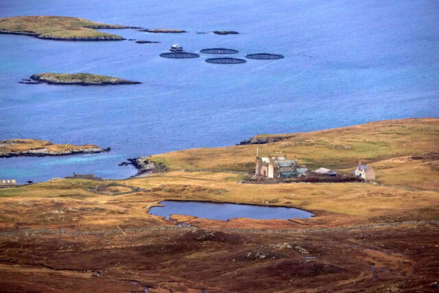
Visitors can also indulge in activities such as fishing, boat tours, and photography, capturing the raw beauty of the coastal scenery. The dynamic nature of the ocean surrounding Abram's Taing makes it an ideal spot for adrenaline-seeking surfers, who brave the challenging waves.
Overall, Abram's Taing is a captivating coastal feature in the Shetland Islands, offering a unique blend of natural beauty, wildlife, and recreational opportunities. Whether one seeks tranquility, adventure, or simply a connection with nature, this headland provides an unforgettable experience for all who visit.
If you have any feedback on the listing, please let us know in the comments section below.
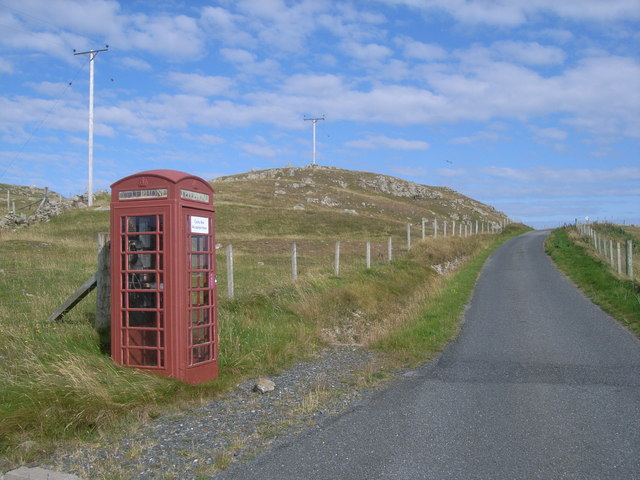
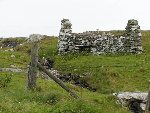
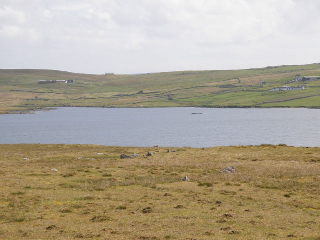
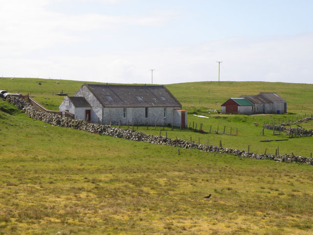
Abram's Taing Images
Images are sourced within 2km of 60.212075/-1.5981047 or Grid Reference HU2247. Thanks to Geograph Open Source API. All images are credited.
Abram's Taing is located at Grid Ref: HU2247 (Lat: 60.212075, Lng: -1.5981047)
Unitary Authority: Shetland Islands
Police Authority: Highlands and Islands
What 3 Words
///playoffs.various.shipwreck. Near Walls, Shetland Islands
Nearby Locations
Related Wikis

Burrastow
Burrastow is a location on the west shore of Vaila Sound near the village of Walls on the Shetland Mainland, Scotland. There are two small piers and the...
Vaila
Vaila (Old Norse: "Valey") is an island in Shetland, Scotland, lying south of the Westland peninsula of the Shetland Mainland. It has an area of 327 hectares...

Linga, Vaila Sound
Linga is one of the Shetland Islands, near Vaila and Walls on Mainland, Shetland. Its highest elevation is 28 metres (91 ft). In 2014 and 2018 it was...

Walls, Shetland
Walls, known locally as Waas (Old Norse: Vagar = "Sheltered Bays" (voes) - the Ordnance Survey added the "ll" as they thought it was a corruption of "walls...

Broch of Culswick
The Broch of Culswick (also Culswick Broch) is an unexcavated coastal broch in the Shetland Islands of Scotland (grid reference HU25384481). It has...

Scord of Brouster
The Scord of Brouster is one of the earliest Neolithic farm sites in Shetland, Scotland. It has been dated to 2220 BC with a time window of 80 years on...
Browland
Browland is a village on Mainland in Shetland, Scotland situated about 1.9 miles (3 km) east north east of Walls. Browland is within the parish of Sandsting...
Gruting
Gruting is a hamlet on the island of Mainland, Shetland in Scotland. It is about 1 kilometre (0.62 mi) southwest of the archaeological site of Stanydale...
Have you been to Abram's Taing?
Leave your review of Abram's Taing below (or comments, questions and feedback).