Gorsendi Geo
Coastal Feature, Headland, Point in Shetland
Scotland
Gorsendi Geo
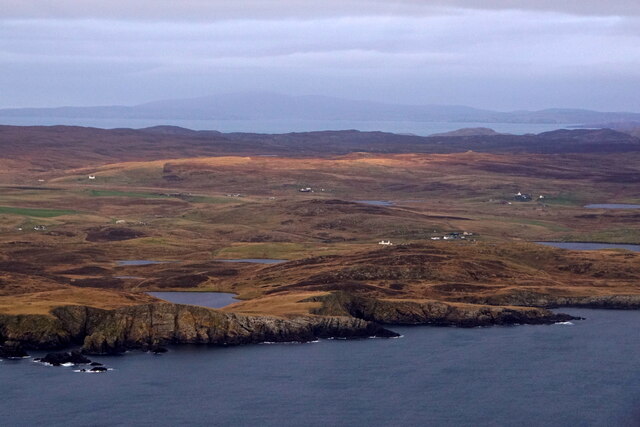
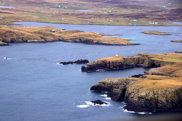
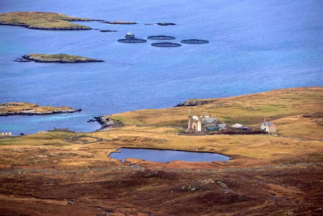
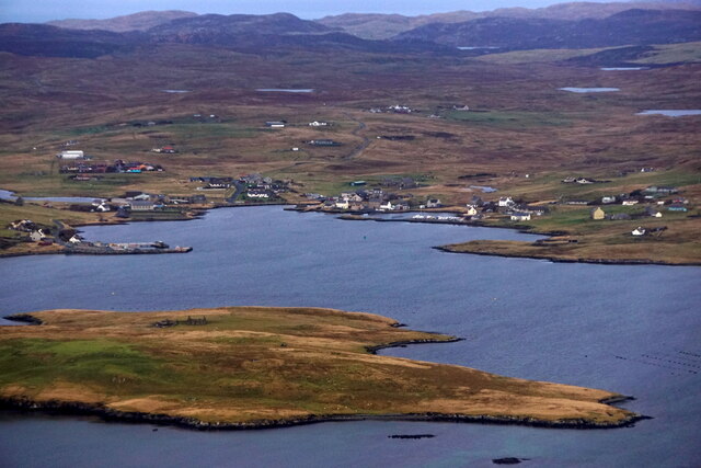
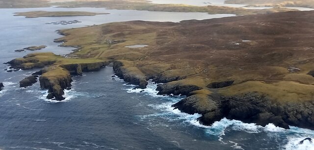
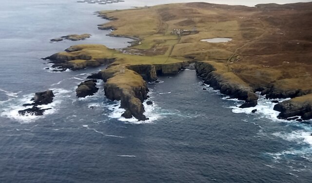
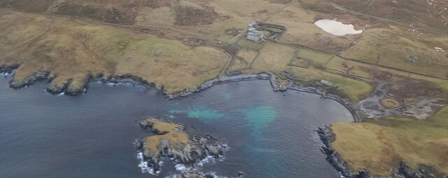
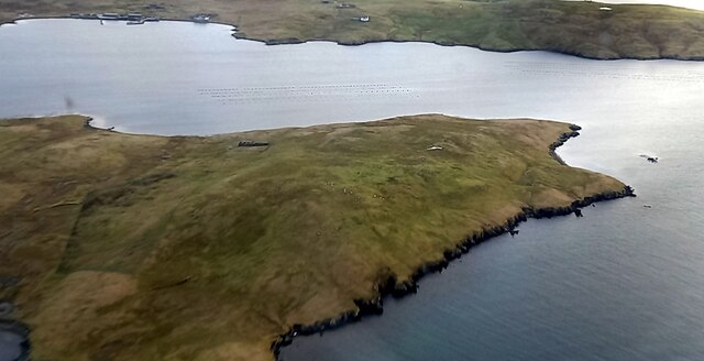
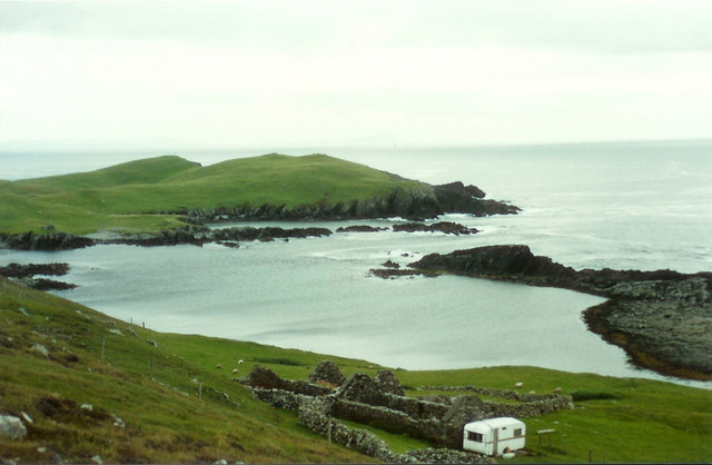
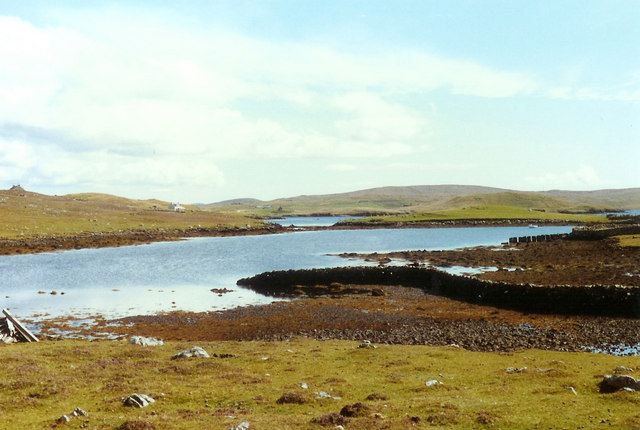
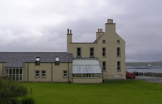
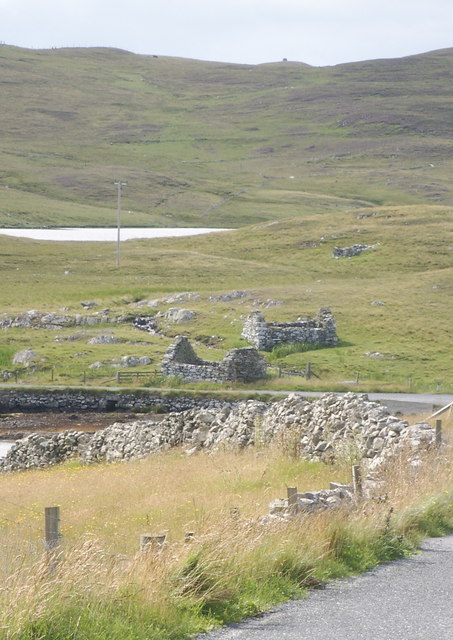
Gorsendi Geo is a prominent coastal feature located in the Shetland Islands, which are part of Scotland. It is a headland or point that juts out into the North Sea. The geo is situated on the east coast of Shetland, specifically on the mainland between the villages of Cunningsburgh and Sandwick.
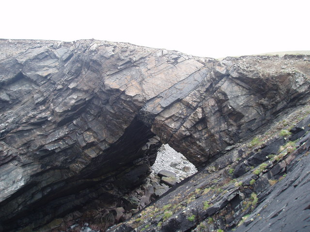
Gorsendi Geo is characterized by its rugged and dramatic cliffs, which rise steeply from the sea. The cliffs are made up of layers of sedimentary rocks, primarily sandstone and shale, which have been shaped and eroded by the constant battering of the waves over time. The height of the cliffs varies, but some sections reach up to 100 meters (330 feet) above sea level, providing breathtaking views of the surrounding coastline.
The geo is also known for its diverse bird populations. Sea birds such as fulmars, kittiwakes, and guillemots can often be spotted nesting on the cliffs, taking advantage of the protected ledges and crevices. In addition to birdlife, Gorsendi Geo is home to a variety of marine life, including seals and otters, which can sometimes be seen swimming in the waters below.
Access to Gorsendi Geo is relatively easy, with a footpath leading down from the nearby road to the cliff edge. However, caution must be exercised due to the steep and potentially unstable nature of the cliffs. Visitors are advised to stay on designated paths and be aware of the risks associated with coastal erosion.
Overall, Gorsendi Geo is a remarkable coastal feature in the Shetland Islands, offering stunning views, important wildlife habitats, and the opportunity to experience the raw power of the North Sea firsthand.
If you have any feedback on the listing, please let us know in the comments section below.
Gorsendi Geo Images
Images are sourced within 2km of 60.21121/-1.6031132 or Grid Reference HU2247. Thanks to Geograph Open Source API. All images are credited.

Gorsendi Geo is located at Grid Ref: HU2247 (Lat: 60.21121, Lng: -1.6031132)
Unitary Authority: Shetland Islands
Police Authority: Highlands and Islands
What 3 Words
///processor.plunge.wove. Near Walls, Shetland Islands
Nearby Locations
Related Wikis

Burrastow
Burrastow is a location on the west shore of Vaila Sound near the village of Walls on the Shetland Mainland, Scotland. There are two small piers and the...
Vaila
Vaila (Old Norse: "Valey") is an island in Shetland, Scotland, lying south of the Westland peninsula of the Shetland Mainland. It has an area of 327 hectares...

Linga, Vaila Sound
Linga is one of the Shetland Islands, near Vaila and Walls on Mainland, Shetland. Its highest elevation is 28 metres (91 ft). In 2014 and 2018 it was...

Walls, Shetland
Walls, known locally as Waas (Old Norse: Vagar = "Sheltered Bays" (voes) - the Ordnance Survey added the "ll" as they thought it was a corruption of "walls...
Nearby Amenities
Located within 500m of 60.21121,-1.6031132Have you been to Gorsendi Geo?
Leave your review of Gorsendi Geo below (or comments, questions and feedback).