Brace Garth

Coastal Feature, Headland, Point in Orkney

Scotland

Brace Garth

Whalehead WWII Chain Home radar station (Reserve site) Isle of Sanday, Orkney
Whalehead WWII Chain Home radar station (Reserve site) Credit: J M Briscoe

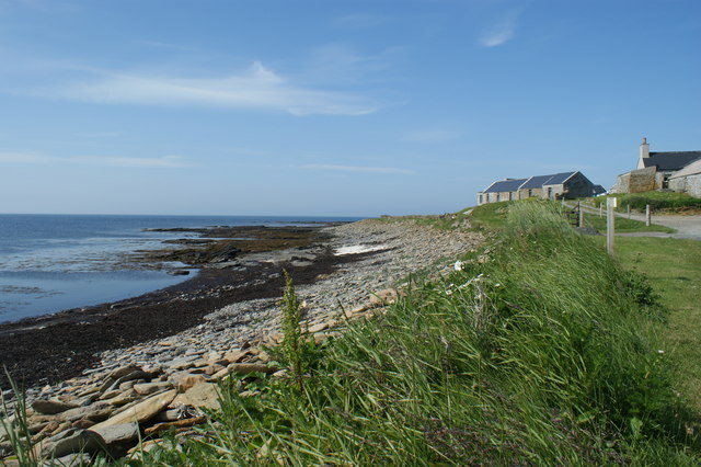
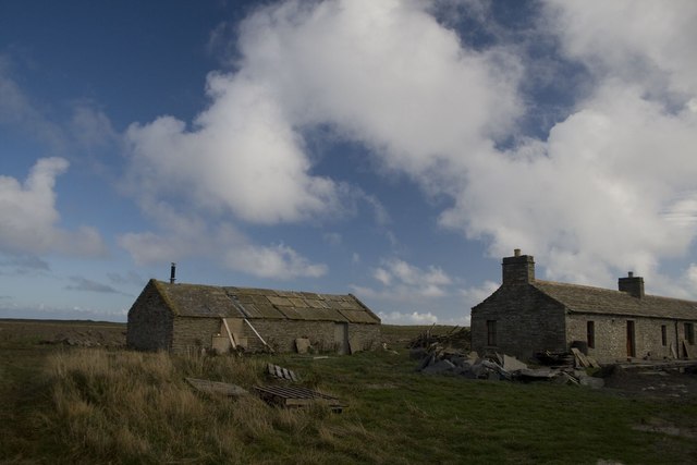
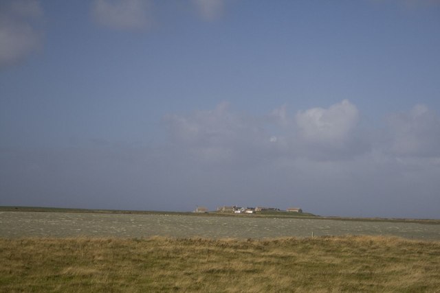
Brace Garth is a prominent headland located on the Orkney Islands, an archipelago off the northeastern coast of Scotland. Situated on the eastern side of the mainland, Brace Garth is known for its striking coastal features and picturesque views of the North Sea.

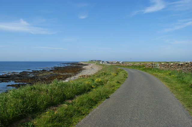
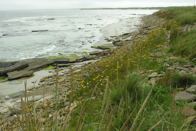
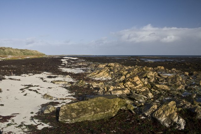
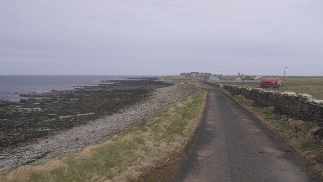
The headland juts out into the ocean, forming a distinct point that is easily recognizable from afar. It is composed of rugged cliffs that rise dramatically from the water, reaching heights of up to 100 feet in some areas. These cliffs are predominantly made up of sandstone, with layers of sedimentary rock visible along the coastline.

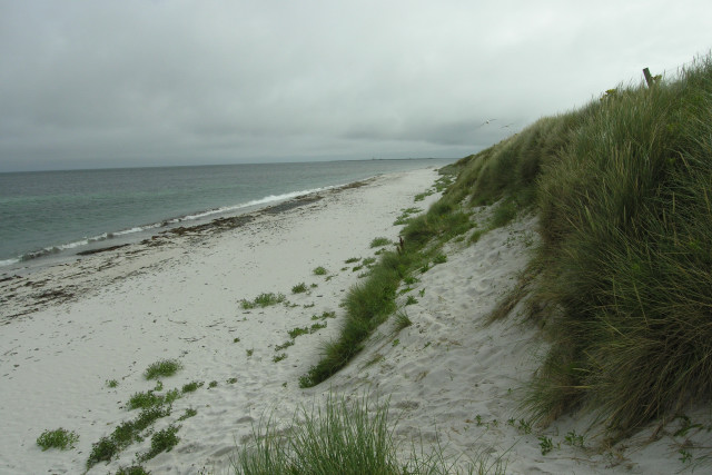
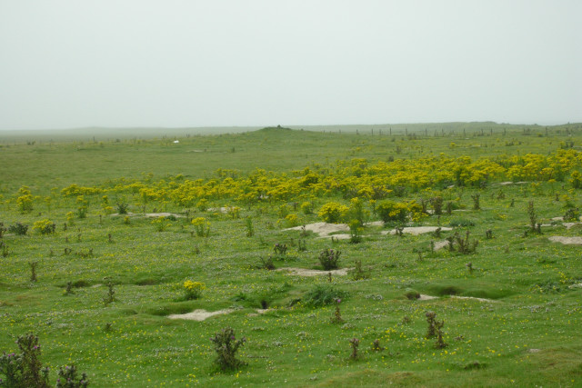
The coastal landscape around Brace Garth is characterized by an abundance of natural beauty. Visitors can witness the powerful waves crashing against the cliffs, sculpting the rocks over time and creating fascinating formations. The headland is also home to a diverse range of marine life, including seabirds, seals, and occasional sightings of dolphins and whales.

Access to Brace Garth is relatively easy, with a path leading to the headland from a nearby car park. From the top of the cliffs, visitors can enjoy breathtaking panoramic views of the surrounding coastline and the vast expanse of the North Sea. The headland also offers a tranquil spot for nature enthusiasts and photographers to capture the stunning scenery and observe the wildlife in its natural habitat.

Overall, Brace Garth is a captivating coastal feature that showcases the raw beauty of the Orkney Islands. Its rugged cliffs, panoramic views, and diverse wildlife make it a must-visit destination for those exploring this picturesque part of Scotland.

If you have any feedback on the listing, please let us know in the comments section below.
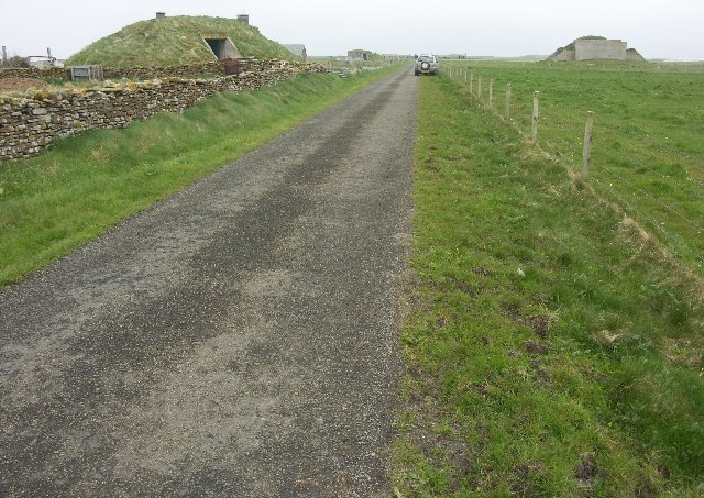
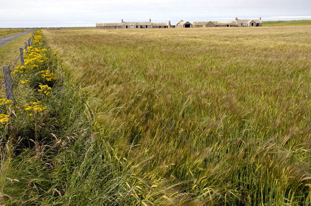
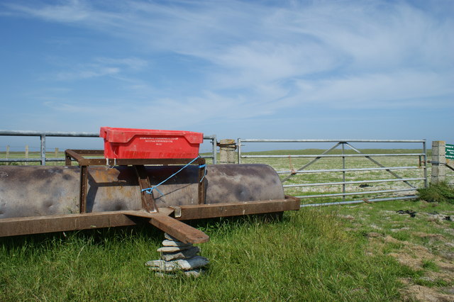
Brace Garth Images

Images are sourced within 2km of 59.303334/-2.4442134 or Grid Reference HY7446. Thanks to Geograph Open Source API. All images are credited.

Whalehead WWII Chain Home radar station (Reserve site) Isle of Sanday, Orkney
Whalehead WWII Chain Home radar station (Reserve site)
Isle of Sanday, Orkney
Galilee Deserted houses in the north-east of Sanday
Galilee
Deserted houses in the north-east of Sanday
Field roller at gateside, in the northwest of Sanday Sandy field in background shows why the Vikings named the island Sanday (= sand island)
Field roller at gateside, in the northwest of Sanday
Sandy field in background shows why the Vikings named the island Sanday (= sand island)
Rocky foreshore and croft on Northwall peninsula Coastal scenery on north eastern peninsula of the island of Sanday
Rocky foreshore and croft on Northwall peninsula
Coastal scenery on north eastern peninsula of the island of Sanday
Road alongside Bay of Sandquoy Road runs alongside the eastern shore of the Bay of Sandquoy , only just above the high tide level on the island of Sanday.
Road alongside Bay of Sandquoy
Road runs alongside the eastern shore of the Bay of Sandquoy , only just above the high tide level on the island of Sanday.
South end of Bay of Sowerdie Looking along a shell sand bay with Start Point lighthouse in the far distance.
South end of Bay of Sowerdie
Looking along a shell sand bay with Start Point lighthouse in the far distance.
Looking South to the Bay of Sowerdie The Bay of Sowerdie is flanked to the North and South by sandstone bedrock outcrops.
Looking South to the Bay of Sowerdie
The Bay of Sowerdie is flanked to the North and South by sandstone bedrock outcrops.
Geo of Toftsness, in the rain The bedrock reef, Geo of Toftsness, is about to disappear in a bank of foggy drizzle. To seaward of the rocks is the North Ronaldsay Firth.
Geo of Toftsness, in the rain
The bedrock reef, Geo of Toftsness, is about to disappear in a bank of foggy drizzle. To seaward of the rocks is the North Ronaldsay Firth.
Cairns on Tofts Ness, Sanday Looking South West, through fine drizzle, towards one of many cairns on this sandy headland of Sanday.
Cairns on Tofts Ness, Sanday
Looking South West, through fine drizzle, towards one of many cairns on this sandy headland of Sanday.
Galilee, Sanday, Orkney This cottage was being reconstructed at the time of our visit, complete with its own wind turbine.
Galilee, Sanday, Orkney
This cottage was being reconstructed at the time of our visit, complete with its own wind turbine.
Pund of Hindgreenie, Sanday, Orkney
North Loch, Sanday, Orkney With Tofts farm in the distance.
North Loch, Sanday, Orkney
With Tofts farm in the distance.
Wetland, Langamay The eastern end of Sanday is very low lying and sandy. Much of the links are poorly drained, but elsewhere there is some good farmland.
Wetland, Langamay
The eastern end of Sanday is very low lying and sandy. Much of the links are poorly drained, but elsewhere there is some good farmland.
Road to Tofts, Northwall The flatlands of eastern Sanday.
Road to Tofts, Northwall
The flatlands of eastern Sanday.
Sandquoy The loop road keeps very close to the shore here.
Sandquoy
The loop road keeps very close to the shore here.
Road to Tofts, Sandquoy This is a rocky coast, a contrast to the sands of the south and east of the peninsula.
Road to Tofts, Sandquoy
This is a rocky coast, a contrast to the sands of the south and east of the peninsula.
Rocky beach, Tofts All that sand at Northwall has to cling to something, and there are rocky areas above sea level. It is possible that in the past coastal deposition connected up a series of holms out here, the connections being the waterlogged links areas around the interior.
Rocky beach, Tofts
All that sand at Northwall has to cling to something, and there are rocky areas above sea level. It is possible that in the past coastal deposition connected up a series of holms out here, the connections being the waterlogged links areas around the interior.
Cattle, Gleat Tofts Ness is a very flat sandy area.
Cattle, Gleat
Tofts Ness is a very flat sandy area.
Show me another place!

Brace Garth is located at Grid Ref: HY7446 (Lat: 59.303334, Lng: -2.4442134)

Unitary Authority: Orkney Islands

Police Authority: Highlands and Islands

What 3 Words

///relegate.letter.commutes. Near Hollandstoun, Orkney Islands

Related Wikis

Broch of Burrian

The Broch of Burrian is an Iron Age broch located on North Ronaldsay in the Orkney Islands, in Scotland (grid reference HY76275138). == Location == The...

East Sanday Coast

The East Sanday Coast is a protected wetland area on and around the island of Sanday, the third-largest of the Orkney islands off the north coast of Scotland...

Bustatoun

Bustatoun is a village on the island of North Ronaldsay, in Orkney, Scotland. The settlement is within the parish of Cross and Burness. == References... ==

Scar boat burial

The Scar boat burial is a Viking boat burial near the village of Scar, on Sanday, in Orkney, Scotland. The burial, which dates to between 875 and 950 AD...

Nearby Amenities

Located within 500m of 59.303334,-2.4442134
Material: wood
Power: pole
Lat/Long: 59.2992999/-2.4451966
Material: wood
Power: pole
Lat/Long: 59.3005173/-2.4452392
Material: wood
Power: pole
Lat/Long: 59.3007698/-2.4438784
Material: wood
Power: pole
Lat/Long: 59.3012078/-2.4415091
Material: wood
Power: pole
Lat/Long: 59.3016627/-2.4395443
Material: wood
Power: pole
Lat/Long: 59.3017842/-2.4388967
Material: wood
Power: pole
Lat/Long: 59.3022778/-2.4379645
Material: wood
Power: pole
Lat/Long: 59.3021092/-2.4365721
Generator Method: wind_turbine
Generator Output Electricity: yes
Generator Source: wind
Generator Type: horizontal_axis
Power: generator
Lat/Long: 59.3018412/-2.4381924
The data included in this document is from www.openstreetmap.org. The data is made available under ODbL.

Have you been to Brace Garth?

Leave your review of Brace Garth below (or comments, questions and feedback).