The Coorsa

Coastal Feature, Headland, Point in Orkney

Scotland

The Coorsa

Straenia Water At the southern end of Rothiesholm on Stronsay, Streania Water is a hven for Herring Gulls, Black Backed Gulls and Great Skuas all of which did not like my presence!
A Greater Black Backed Gull can be seen above the loch.
Straenia Water Credit: Adam Ward

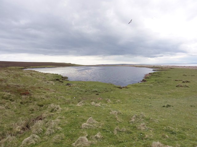
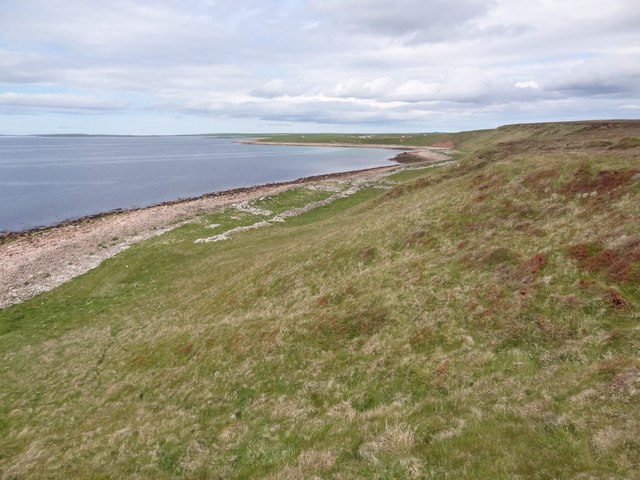
The Coorsa is a prominent coastal feature located in Orkney, a group of islands off the northeastern coast of Scotland. It is primarily characterized as a headland or point that extends into the North Sea. The Coorsa stands out due to its distinctive geological formations and rugged landscape.

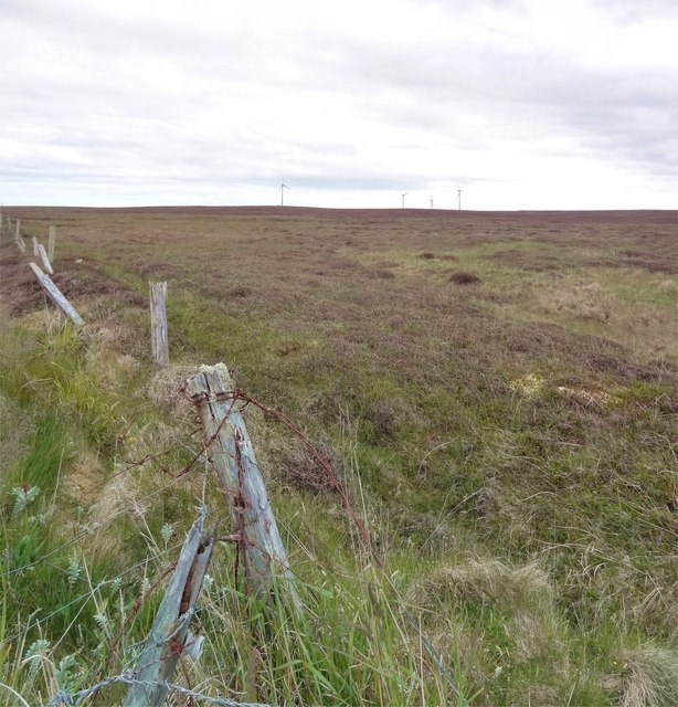
The headland is composed of layers of sandstone and shale, which have been eroded over time by the relentless force of the sea. This erosion has resulted in steep cliffs that rise dramatically from the water, reaching heights of up to 100 feet in some places. The exposed rock formations display unique patterns and colors, adding to the visual appeal of the area.

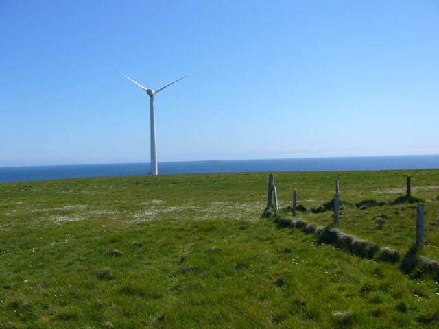
The Coorsa offers breathtaking views of the surrounding coastline, with panoramic vistas stretching as far as the eye can see. On clear days, visitors can even catch a glimpse of neighboring islands and the distant mainland. The headland is a popular spot for nature enthusiasts and photographers, who flock to capture the rugged beauty of the landscape.

The area surrounding the Coorsa is teeming with wildlife, making it an ideal location for birdwatching. Numerous seabirds, such as gannets, fulmars, and kittiwakes, can be spotted nesting and soaring above the cliffs. The coastal waters are also home to a diverse array of marine life, including seals and dolphins.

In conclusion, the Coorsa is a striking coastal feature in Orkney, known for its impressive cliffs, stunning views, and abundant wildlife. It serves as a testament to the powerful forces of nature and attracts visitors from near and far.

If you have any feedback on the listing, please let us know in the comments section below.
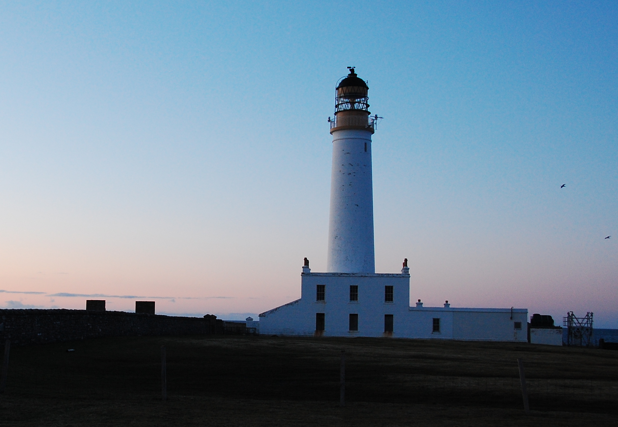
The Coorsa Images

Images are sourced within 2km of 59.074938/-2.6804957 or Grid Reference HY6121. Thanks to Geograph Open Source API. All images are credited.

Straenia Water At the southern end of Rothiesholm on Stronsay, Streania Water is a hven for Herring Gulls, Black Backed Gulls and Great Skuas all of which did not like my presence!
A Greater Black Backed Gull can be seen above the loch.
Straenia Water
At the southern end of Rothiesholm on Stronsay, Streania Water is a hven for Herring Gulls, Black Backed Gulls and Great Skuas all of which did not like my presence! A Greater Black Backed Gull can be seen above the loch.
Millfield Moss Looking across Millfield Moss from beyond the end of the road on Stronsay. The turbines of the Bu windfarm can just be seen.
Millfield Moss
Looking across Millfield Moss from beyond the end of the road on Stronsay. The turbines of the Bu windfarm can just be seen.
Stronsay Coastline Near the south end of Stronsay on the Rothiesholm peninsula looking towards Eday and Sanday.
Stronsay Coastline
Near the south end of Stronsay on the Rothiesholm peninsula looking towards Eday and Sanday.
Cobbie Row's Lade, Stronsay, Orkney Cobbie Row was a giant in Orkney folklore who tried to build stone bridges to link the islands, but always failed.  These two piles of stone were supposedly dropped while he was trying to build a bridge from Stronsay to Shapinsay.  The stones lie on the ayre between the Stronsay Firth and Straenia Water.
Cobbie Row's Lade, Stronsay, Orkney
Cobbie Row was a giant in Orkney folklore who tried to build stone bridges to link the islands, but always failed. These two piles of stone were supposedly dropped while he was trying to build a bridge from Stronsay to Shapinsay. The stones lie on the ayre between the Stronsay Firth and Straenia Water.
The Coorsa, Stronsay, Orkney The Coorsa is the most southerly point on the Rothiesholm peninsula.

Auskerry can be seen on the horizon.
The Coorsa, Stronsay, Orkney
The Coorsa is the most southerly point on the Rothiesholm peninsula. Auskerry can be seen on the horizon.
Kelp drying wall and kiln, Latan, Stronsay, Orkney From <span class="nowrap"><a title="http://canmore.rcahms.gov.uk/en/site/3394/details/stronsay+latan" rel="nofollow ugc noopener" href="http://canmore.rcahms.gov.uk/en/site/3394/details/stronsay+latan">Link</a><img style="margin-left:2px;" alt="External link" title="External link - shift click to open in new window" src="https://s1.geograph.org.uk/img/external.png" width="10" height="10"/></span> : "On the shoreline at Latan there are many conventional burning-pits and the remains of a free-standing kiln, external diameter 2.5m, internal diameter 1.2m, 0.9m in height, with an opening 0.2m square at the base on the S side."
Kelp drying wall and kiln, Latan, Stronsay, Orkney
From LinkExternal link : "On the shoreline at Latan there are many conventional burning-pits and the remains of a free-standing kiln, external diameter 2.5m, internal diameter 1.2m, 0.9m in height, with an opening 0.2m square at the base on the S side."
Wind turbine, Stronsay One of a group of three wind turbines near Rothiesholm in south-west Stronsay. They were constructed in spring 2002.
Wind turbine, Stronsay
One of a group of three wind turbines near Rothiesholm in south-west Stronsay. They were constructed in spring 2002.
This is the area where the Stronsay Monster washed ashore in 1808 The carcass was draped over the back bar - the long area of stone in the sea - and was later washed ashore onto this beach.
This is the area where the Stronsay Monster washed ashore in 1808
The carcass was draped over the back bar - the long area of stone in the sea - and was later washed ashore onto this beach.
Rothisholm trig
Rothisholm trig
A turbine at Bu wind farm
Track up to Bu wind farm
Straenia Water and Rothiesholm Head, Stronsay, from the air
Show me another place!

The Coorsa is located at Grid Ref: HY6121 (Lat: 59.074938, Lng: -2.6804957)

Unitary Authority: Orkney Islands

Police Authority: Highlands and Islands

What 3 Words

///fools.rely.asteroid. Near Whitehall, Orkney Islands

Related Wikis

Linga Holm

Linga Holm, commonly known as Linga, Midgarth and the Holm of Midgarth is an uninhabited Scottish island extending to approximately 57 hectares (0.22...

Stronsay

Stronsay () is an island in Orkney, Scotland. It is known as Orkney's 'Island of Bays', owing to an irregular shape with miles of coastline, with three...

Burroughston Broch

Burroughston Broch is an Iron Age broch located on the island of Shapinsay in the Orkney Islands, in Scotland (grid reference HY54062100). The site overlooks...

Linga Sound, Orkney

Linga Sound is the strait between the islands of Linga Holm and Stronsay in the Orkney islands of Scotland. It leads into St. Catherines Bay from the north...

Auskerry

Auskerry (Scots: Soond; Old Norse: Austrsker, east skerry) is a small island in eastern Orkney, Scotland. It lies in the North Sea south of Stronsay and...

Bay of Linton

The Bay of Linton is a bay on the east coast on the island of Shapinsay in the Orkney Islands, Scotland. To the north of Linton Bay are the headlands...

Linton Chapel

Linton Chapel is a ruined chapel on the east coast of Shapinsay, Orkney (Grid Reference HY5218). The chapel is thought to date as early as the 12th century...

Whitehall, Orkney

Whitehall is the village on the island of Stronsay, in the Orkney Islands of Scotland. It is a small village with about 50 houses. It also has a shop...

Have you been to The Coorsa?

Leave your review of The Coorsa below (or comments, questions and feedback).