Garnsgate
Settlement in Lincolnshire South Holland
England
Garnsgate
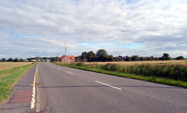
Garnsgate is a small village located in the county of Lincolnshire, England. Situated approximately 3 miles east of the town of Spalding, Garnsgate is known for its picturesque countryside and rural charm.
The village is home to a close-knit community of around 200 residents, who enjoy the tranquility and natural beauty of their surroundings. The landscape is characterized by rolling hills, lush green fields, and meandering streams, making it an ideal destination for nature enthusiasts and walkers.
Garnsgate is primarily an agricultural community, with farming being the main occupation for many residents. The fertile soil in the area allows for the cultivation of crops such as wheat, barley, and potatoes. Livestock farming, particularly sheep and cattle rearing, also plays a significant role in the local economy.
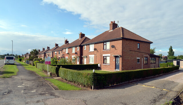
Despite its small size, Garnsgate boasts a few amenities for its residents. The village has a primary school, providing education for the local children. Additionally, there is a village hall that serves as a social hub, hosting various community events and gatherings throughout the year.
For those seeking recreational activities, Garnsgate is surrounded by several beautiful nature reserves and parks. Residents and visitors can explore the nearby Gedney Drove End and Holbeach Marsh, which offer opportunities for birdwatching, hiking, and wildlife spotting.
Overall, Garnsgate offers a peaceful and idyllic setting for those seeking a rural lifestyle, surrounded by stunning natural landscapes and a friendly community spirit.
If you have any feedback on the listing, please let us know in the comments section below.
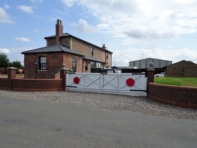
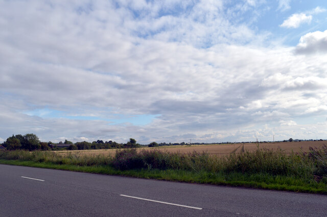
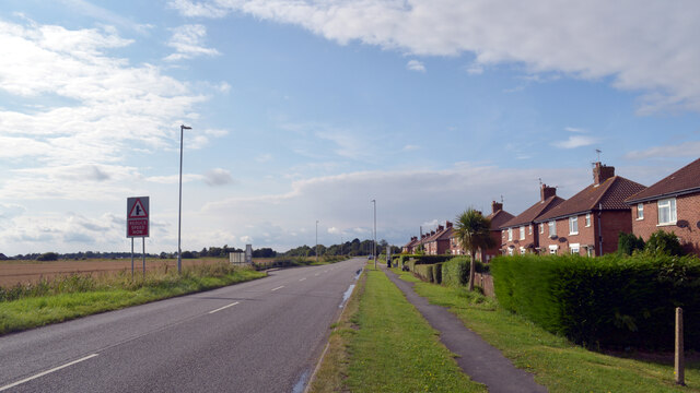
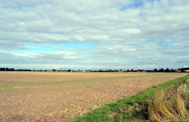
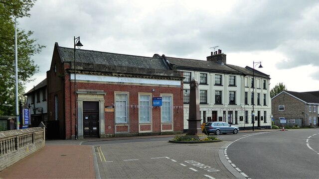
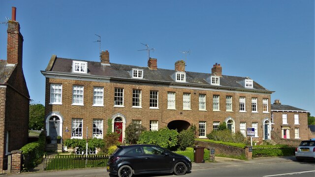
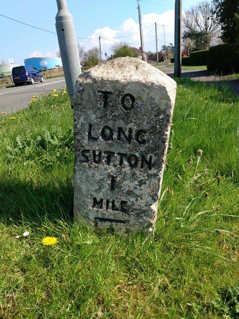
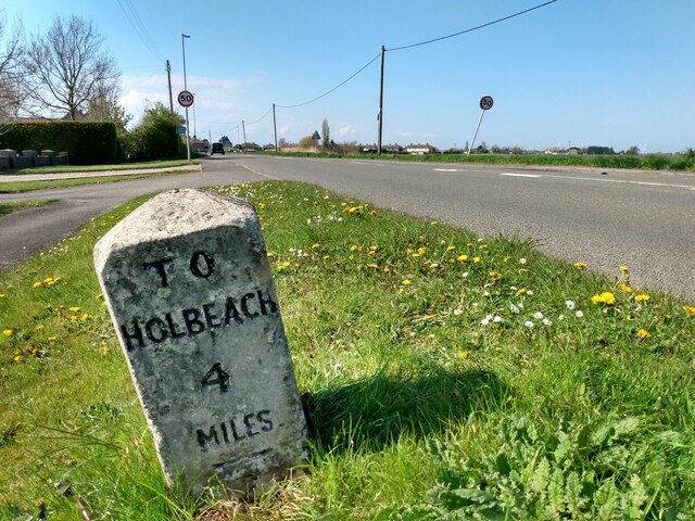
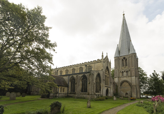
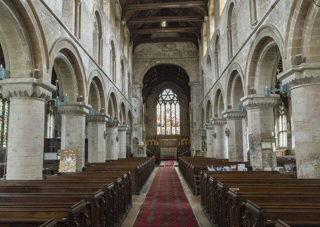
Garnsgate Images
Images are sourced within 2km of 52.780374/0.099904 or Grid Reference TF4122. Thanks to Geograph Open Source API. All images are credited.


Garnsgate is located at Grid Ref: TF4122 (Lat: 52.780374, Lng: 0.099904)
Division: Parts of Holland
Administrative County: Lincolnshire
District: South Holland
Police Authority: Lincolnshire
What 3 Words
///balloons.hourglass.audible. Near Fleet, Lincolnshire
Nearby Locations
Related Wikis

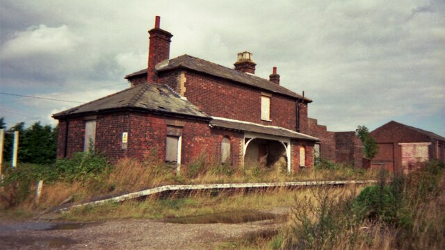
Long Sutton railway station
Long Sutton railway station was a station in Long Sutton, Lincolnshire, England. It was part of the Midland and Great Northern Joint Railway which closed...

Gedney Broadgate
Gedney Broadgate is a hamlet in the civil parish of Gedney and the South Holland district of Lincolnshire, England. It is situated west from the A17 road...

Long Sutton, Lincolnshire
Long Sutton is a market town in the South Holland district of Lincolnshire, England. It lies in The Fens, close to the Wash, 13 miles (21 km) east of Spalding...

Low Fulney
Low Fulney is a hamlet in the South Holland district of Lincolnshire, England. It is in the Spalding St. Paul's ward of the South Holland District Council...
Nearby Amenities
Located within 500m of 52.780374,0.099904Have you been to Garnsgate?
Leave your review of Garnsgate below (or comments, questions and feedback).