Auldyoch
Settlement in Aberdeenshire
Scotland
Auldyoch

Auldyoch is a small village located in the Aberdeenshire region of Scotland. Situated in the northeast of the country, it is nestled amidst picturesque landscapes of rolling hills and lush countryside. The village is approximately 15 miles west of the city of Aberdeen, making it a desirable location for those seeking a peaceful rural lifestyle within close proximity to urban amenities.
Auldyoch is characterized by its charming and traditional Scottish architecture, with many stone-built houses dotting the village streets. The community is tight-knit and friendly, with a population of around 500 residents. The village boasts a strong sense of community spirit, evident through the various events and activities organized by local associations throughout the year.
Despite its small size, Auldyoch offers a range of amenities to its residents. The village is home to a primary school, providing education for local children up to the age of 11. Additionally, there is a village hall that serves as a hub for community events and gatherings. A small convenience store caters to the daily needs of residents, while larger supermarkets and shopping centers can be found in nearby towns.
For outdoor enthusiasts, Auldyoch is a paradise. The surrounding area offers numerous opportunities for hiking, cycling, and exploring the natural beauty of Aberdeenshire. The village is also within easy reach of stunning coastal areas, allowing residents to enjoy the sandy beaches and breathtaking cliffs that line Scotland's coastline.
Overall, Auldyoch offers a tranquil and idyllic lifestyle in the heart of Aberdeenshire, with its welcoming community, charming architecture, and access to both rural and urban amenities.
If you have any feedback on the listing, please let us know in the comments section below.
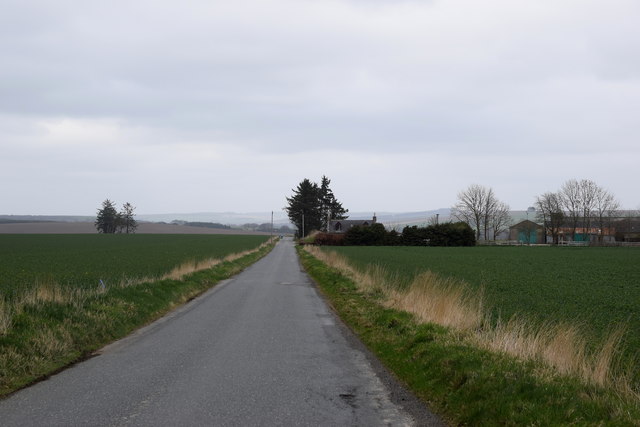
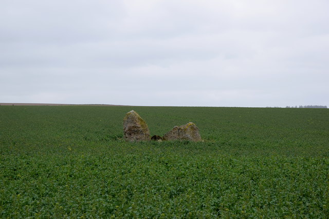
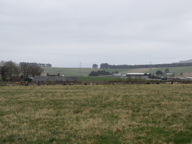
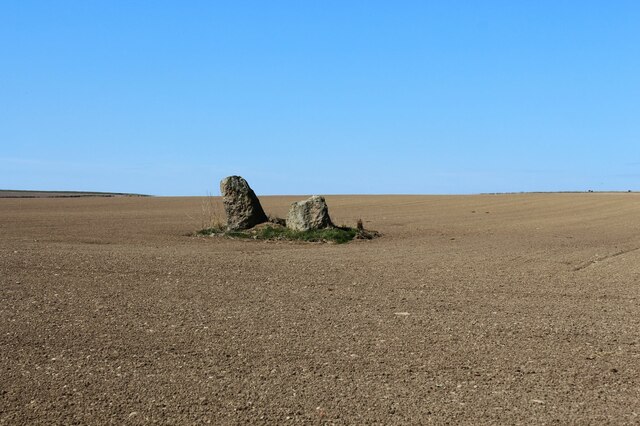
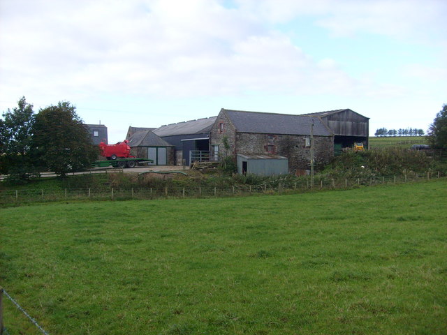
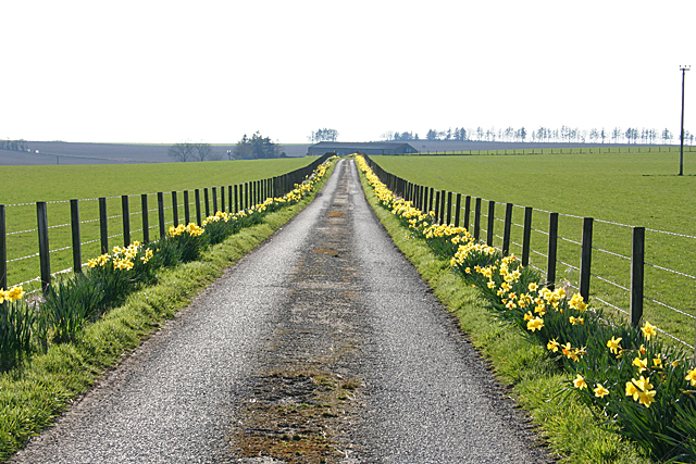
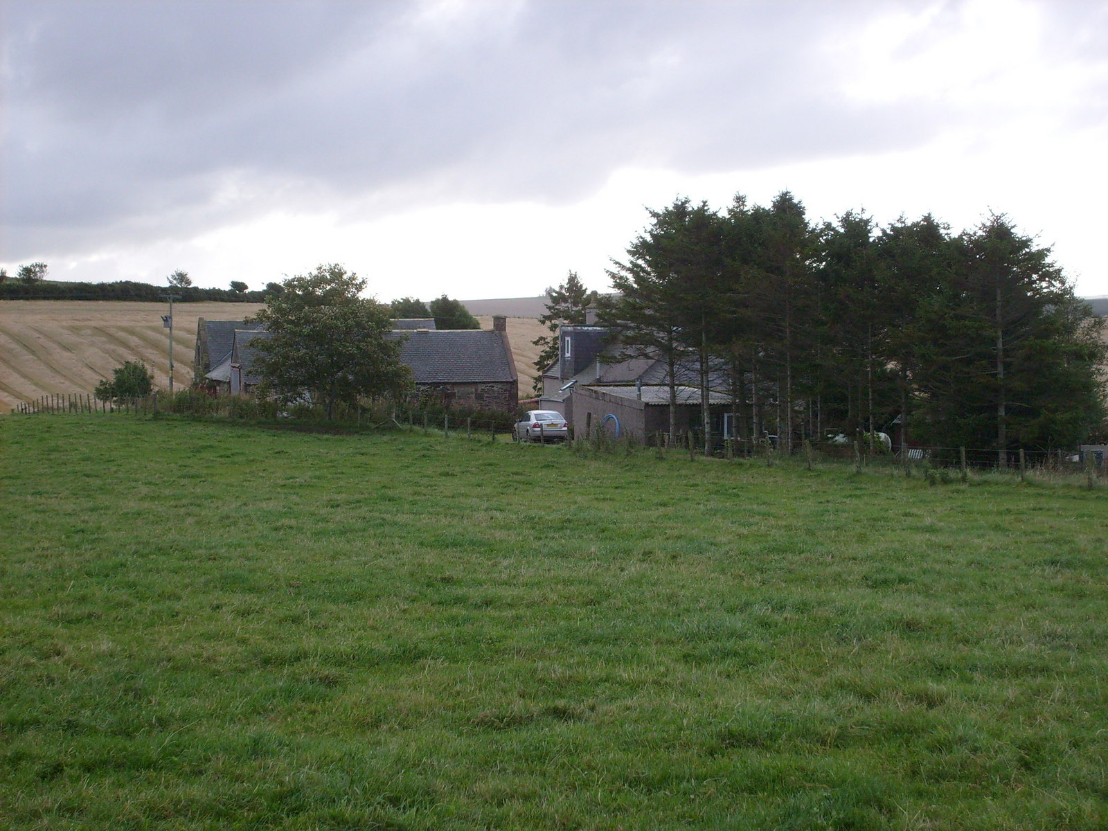
Auldyoch Images
Images are sourced within 2km of 57.458153/-2.5349776 or Grid Reference NJ6841. Thanks to Geograph Open Source API. All images are credited.


Auldyoch is located at Grid Ref: NJ6841 (Lat: 57.458153, Lng: -2.5349776)
Unitary Authority: Aberdeenshire
Police Authority: North East
What 3 Words
///relishes.revolting.excavated. Near Rothienorman, Aberdeenshire
Nearby Locations
Related Wikis
Auldyoch
Auldyoch is a farm in Aberdeenshire, Scotland. == References ==

Auchterless
Auchterless (Scottish Gaelic: Uachdar Leasa, meaning the "Upper Part of Less") is a village in Aberdeenshire, Scotland; grid reference NJ 713 416, postcode...

Badenscoth
Badenscoth (Scottish Gaelic: Bad nan Sgoth) is a rural area near Auchterless in Aberdeenshire, Scotland. == References ==

Ythan Wells
Ythan Wells, also known as Glenmailen, is the site of a Roman military camp, near the farm of Glenmellan, 2.1 kilometres (1.3 mi) east of the village of...

Ythanwells
Ythanwells () is a village in the Marr area of Aberdeenshire, Scotland, lying 10.6 kilometres (6.6 mi) east of Huntly. The village is sometimes known...

Banff and Buchan (UK Parliament constituency)
Banff and Buchan is a constituency of the House of Commons, located in the north-east of Scotland within the Aberdeenshire council area. It elects one...

Frendraught Castle
Frendraught Castle or House is a 17th-century house, about 6 miles (9.7 km) east of Huntly, Aberdeenshire, Scotland, and 1 mile (1.6 km) west of Largue...
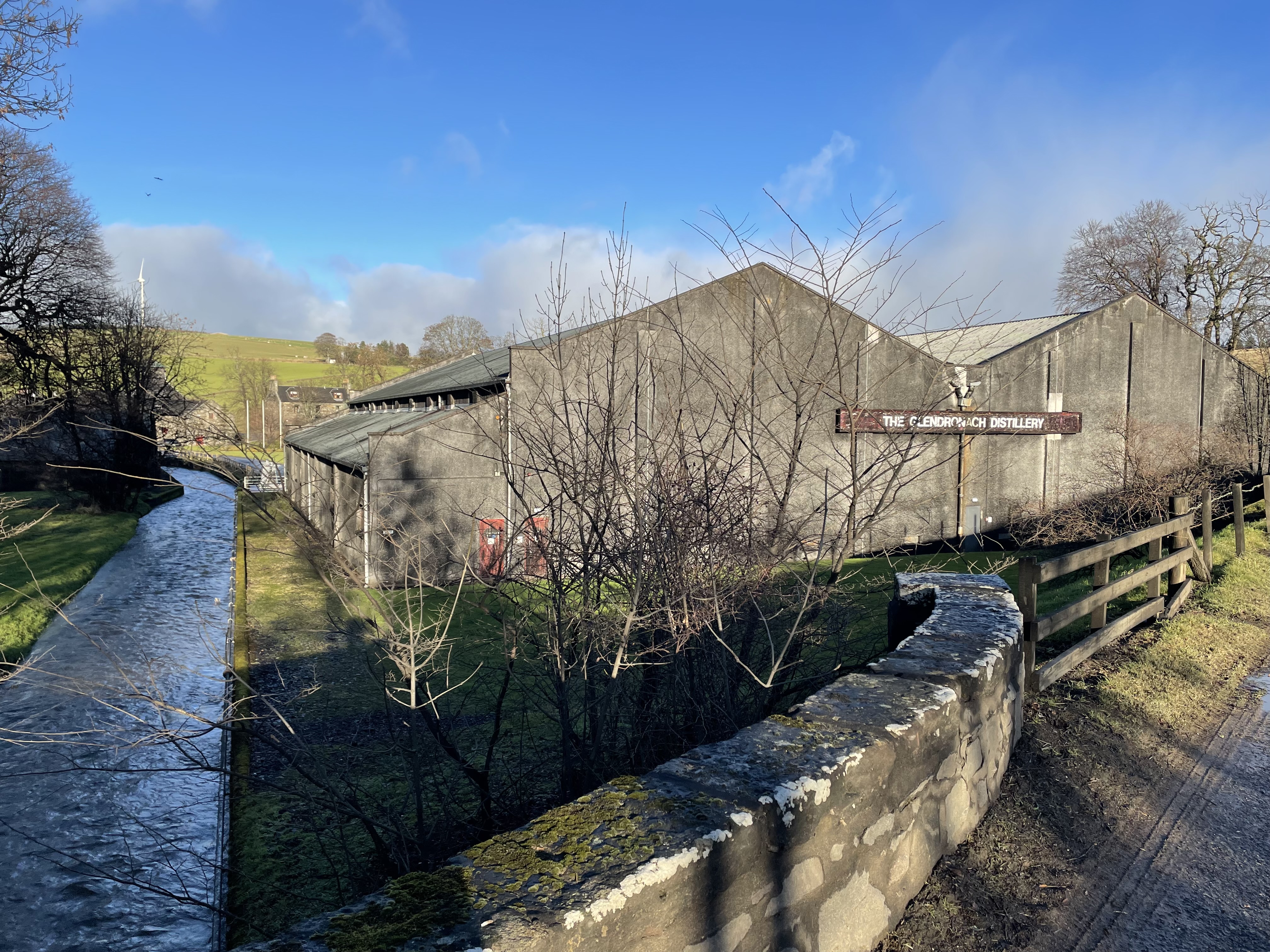
Glendronach distillery
Glendronach distillery is a Scottish whisky distillery located near Forgue, by Huntly, Aberdeenshire, in the Highland whisky district. It was owned by...
Nearby Amenities
Located within 500m of 57.458153,-2.5349776Have you been to Auldyoch?
Leave your review of Auldyoch below (or comments, questions and feedback).