Walney Island
Coastal Feature, Headland, Point in Lancashire Barrow-in-Furness
England
Walney Island
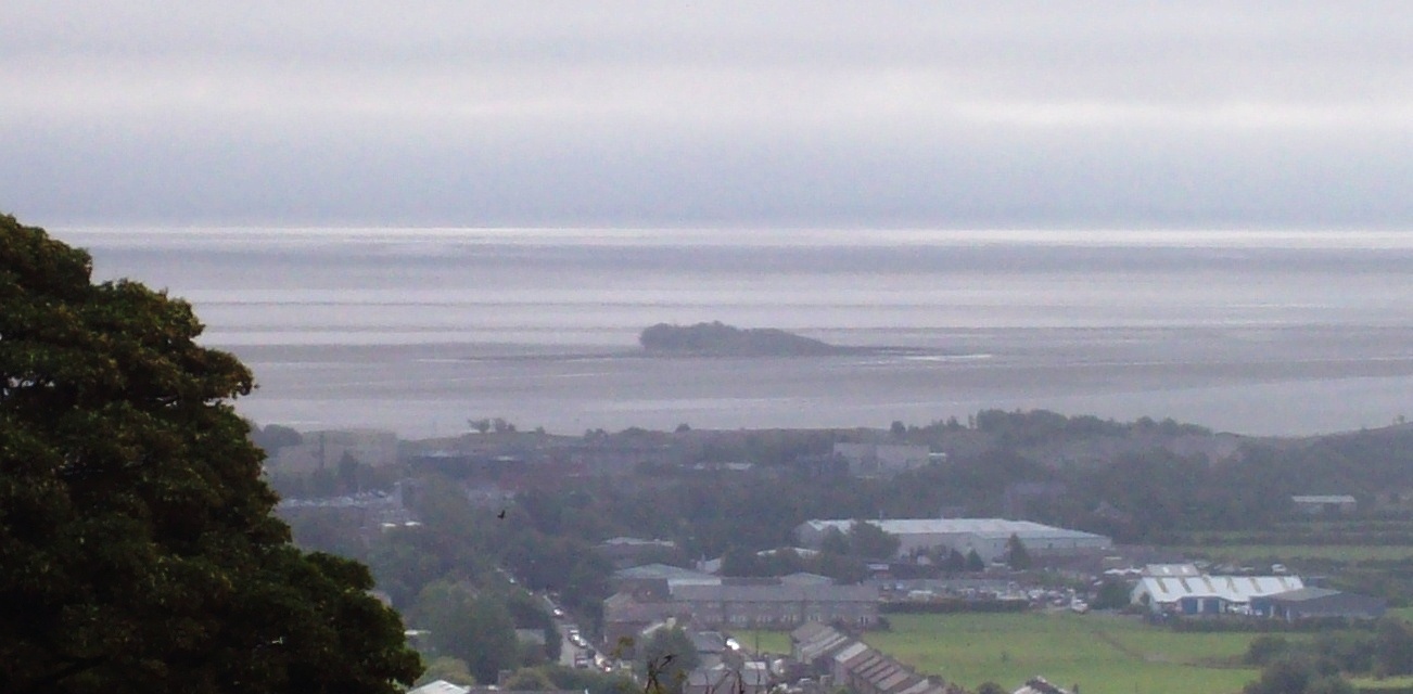
Walney Island is a captivating coastal feature located off the coast of Lancashire in England. It is the largest island in the Irish Sea and forms an essential part of the Morecambe Bay area. This picturesque headland juts out into the sea, creating a stunning point that attracts visitors from near and far.
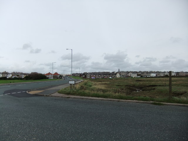
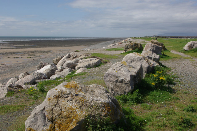
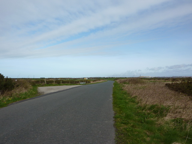
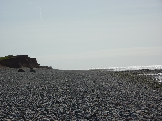
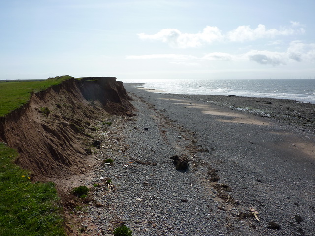
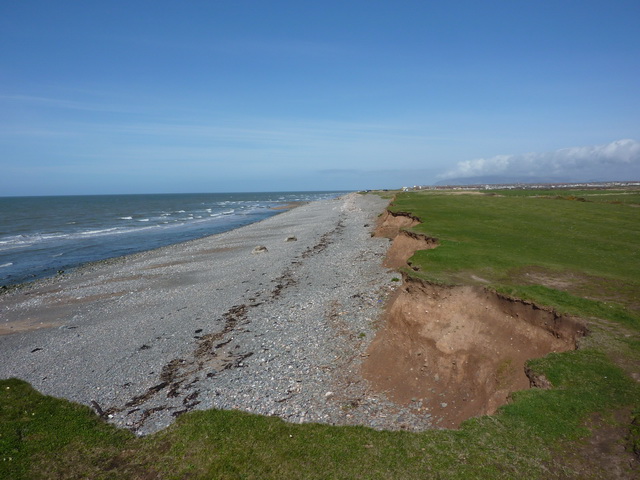
Covering an area of approximately 11 square miles, Walney Island boasts a diverse landscape characterized by sandy beaches, dunes, salt marshes, and grassy areas. The island is home to a variety of wildlife, including seals, birds, and rare plant species, making it a haven for nature enthusiasts.
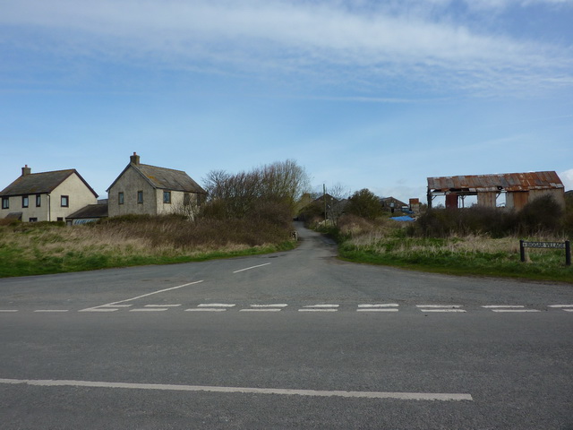
The island's main settlement is the town of Walney, which offers amenities such as shops, restaurants, and accommodations for visitors. It also has a rich history, with evidence of human activity dating back thousands of years. Remnants of ancient settlements and burial mounds can still be found in certain areas.
Walney Island is renowned for its magnificent beaches, particularly West Shore Beach, which stretches for miles and offers stunning views of the surrounding coastline. The island also has a lighthouse, known as Walney Island Lighthouse, which has been guiding ships since the 19th century.
In addition to its natural beauty, Walney Island offers a range of recreational activities. Visitors can indulge in swimming, fishing, sailing, and birdwatching, or simply take a leisurely stroll along the coastline to enjoy the fresh sea breeze and breathtaking scenery.
Overall, Walney Island is a captivating coastal feature that combines natural beauty, rich history, and abundant wildlife. Whether seeking relaxation or adventure, this headland and point in Lancashire offers a memorable experience for all who visit.
If you have any feedback on the listing, please let us know in the comments section below.
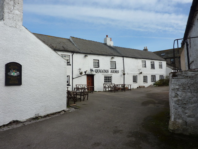
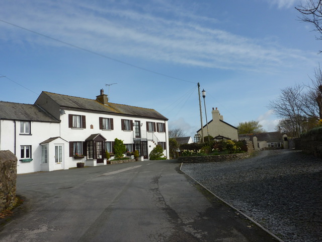
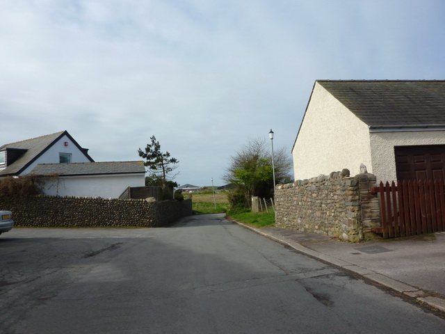
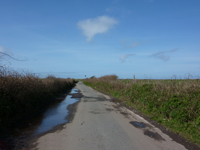
Walney Island Images
Images are sourced within 2km of 54.085219/-3.2421084 or Grid Reference SD1866. Thanks to Geograph Open Source API. All images are credited.


Walney Island is located at Grid Ref: SD1866 (Lat: 54.085219, Lng: -3.2421084)
Administrative County: Cumbria
District: Barrow-in-Furness
Police Authority: Cumbria
What 3 Words
///brand.fills.look. Near Barrow in Furness, Cumbria
Nearby Locations
Related Wikis
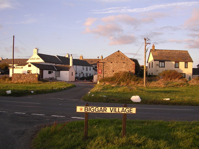
Biggar, Cumbria
Biggar is a village towards the south of Walney Island in Cumbria, England. Along with the village of North Scale, it is the oldest settlement on the island...

Walney South
Walney South is one of two wards on Walney Island in the Borough of Barrow-in-Furness, North West England. The 2001 UK census showed 5,784 people were...

Dova Haw
Dova Haw, also known as Crab Island, is a small islet that is one of the Islands of Furness. It is a small tidal island off the coast of Cumbria, England...
Ramsden Dock railway station
Ramsden Dock railway station (also known as Barrow Island and officially as Barrow Ramsden Dock) was the terminus of the Furness Railway's Ramsden Dock...

Walney Channel
The Walney Channel separates Walney Island from the British mainland. The northern portion of the channel opens into the Duddon Estuary and is both narrower...
Walney Island
Walney Island, also known as the Isle of Walney, is an island off the west coast of England, at the western end of Morecambe Bay in the Irish Sea. Within...

Barrow Island, Barrow-in-Furness
Barrow Island is an area and electoral ward of Barrow-in-Furness, Cumbria, England. Originally separate from the British mainland, land reclamation in...
Islands of Furness
The Islands of Furness are situated to the south-west and east of the Furness Peninsula. Within England, they are the third biggest collection of islands...
Nearby Amenities
Located within 500m of 54.085219,-3.2421084Have you been to Walney Island?
Leave your review of Walney Island below (or comments, questions and feedback).