Sròn Nodha
Coastal Feature, Headland, Point in Argyllshire
Scotland
Sròn Nodha
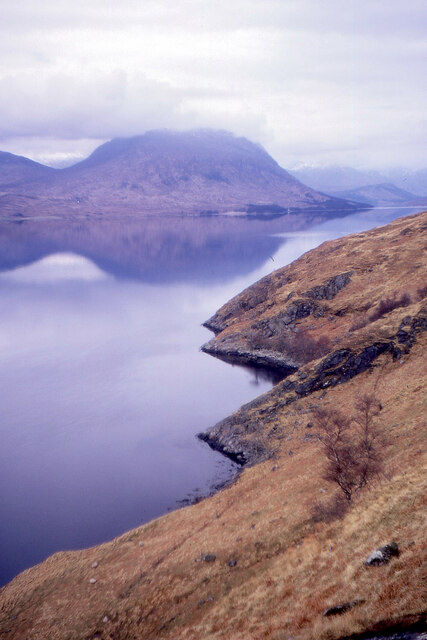
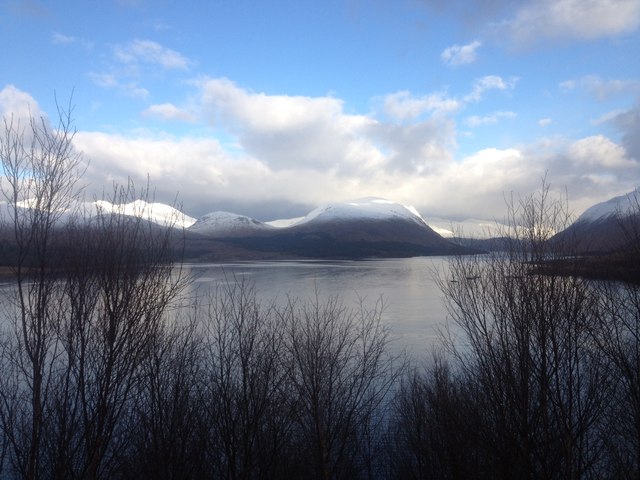
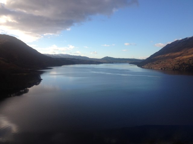
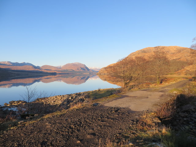
Sròn Nodha is a prominent headland located in Argyllshire, Scotland. Situated along the coast, it juts out into the sea, offering breathtaking views of the surrounding landscape. The name "Sròn Nodha" translates to "new point" in English, which is a fitting description for this striking coastal feature.
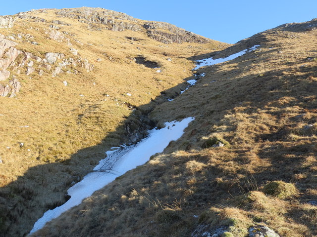
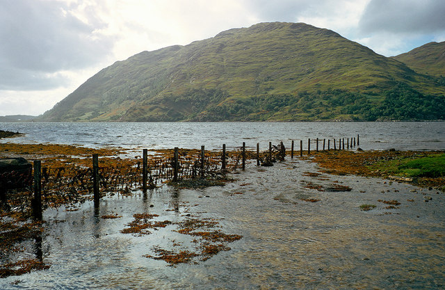
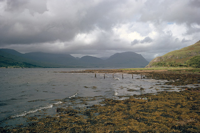
The headland is characterized by its rugged cliffs, which rise dramatically from the water below. These cliffs are composed of various types of rock, including sandstone and slate, adding to the visual appeal of the area. The constant battering of the waves against the cliffs has created unique geological formations, including caves and arches, which are a source of fascination for visitors.
Sròn Nodha is also known for its diverse wildlife. The surrounding waters are home to a variety of marine species, including seals, dolphins, and seabirds. Birdwatchers are particularly drawn to this area, as it provides an excellent vantage point for observing seabird colonies and rare species that nest on the cliffs.
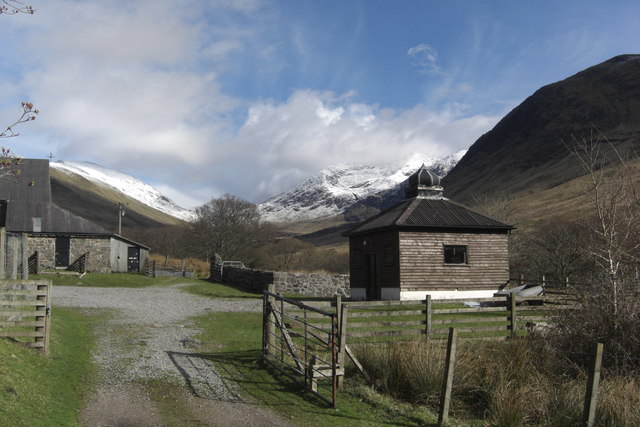
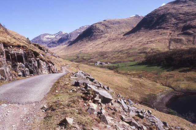
Access to Sròn Nodha is possible via a well-maintained footpath that winds its way along the coastline. The headland is a popular destination for hikers and nature enthusiasts, who are rewarded with panoramic views of the sea and the distant mountains. Additionally, there are numerous vantage points where visitors can stop and take in the beauty of the surroundings.
Overall, Sròn Nodha is a captivating coastal feature that showcases the natural beauty of Argyllshire. Its dramatic cliffs, diverse wildlife, and stunning views make it a must-visit destination for those seeking an immersive experience in Scotland's coastal landscape.
If you have any feedback on the listing, please let us know in the comments section below.
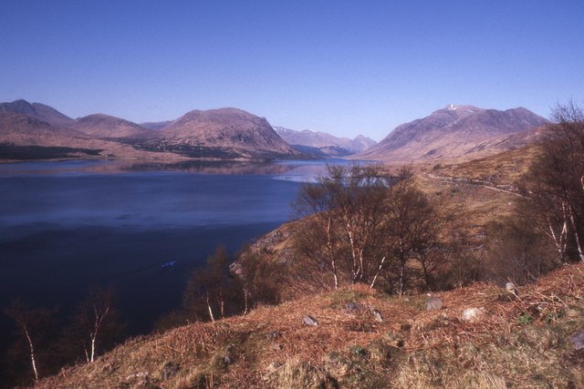
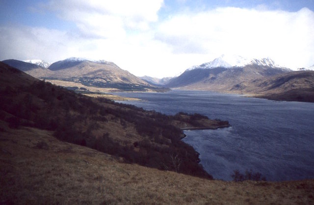
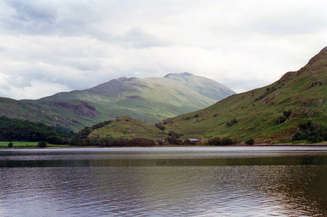
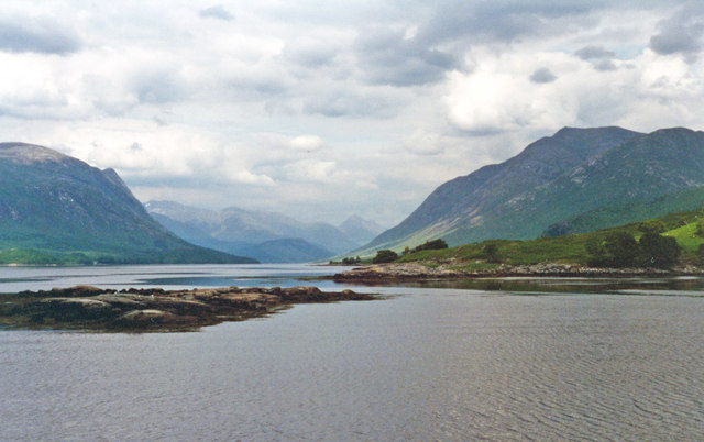
Sròn Nodha Images
Images are sourced within 2km of 56.465042/-5.1642728 or Grid Reference NN0534. Thanks to Geograph Open Source API. All images are credited.


Sròn Nodha is located at Grid Ref: NN0534 (Lat: 56.465042, Lng: -5.1642728)
Unitary Authority: Argyll and Bute
Police Authority: Argyll and West Dunbartonshire
What 3 Words
///cheerily.sentences.prosper. Near Oban, Argyll & Bute
Nearby Locations
Related Wikis

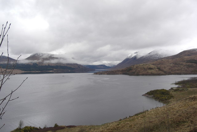
Loch Etive
Loch Etive (Scottish Gaelic, Loch Eite) is a 30 km sea loch in Argyll and Bute, Scotland. It reaches the sea at Connel, 5 km north of Oban. It measures...

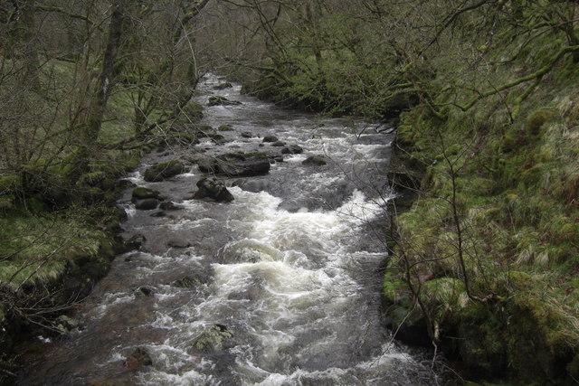
River Awe
The River Awe (Scottish Gaelic: Uisge Abha) is a short river in the Southwest Highlands of Scotland by which the freshwater Loch Awe empties into Loch...

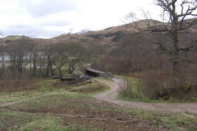
Bonawe
Bonawe (Scots pronunciation: [boˈnɔː]; Scottish Gaelic: Bun Abha [puˈna.ə]) is a village in Ardchattan Parish Argyll and Bute, Scotland opposite Taynuilt...

Ben Cruachan
Ben Cruachan (Scottish Gaelic: Cruachan Beann) is a mountain that rises to 1,126 metres (3,694 ft), the highest in Argyll and Bute, Scotland. It gives...
Nearby Amenities
Located within 500m of 56.465042,-5.1642728Have you been to Sròn Nodha?
Leave your review of Sròn Nodha below (or comments, questions and feedback).