Black Head
Coastal Feature, Headland, Point in Wigtownshire
Scotland
Black Head
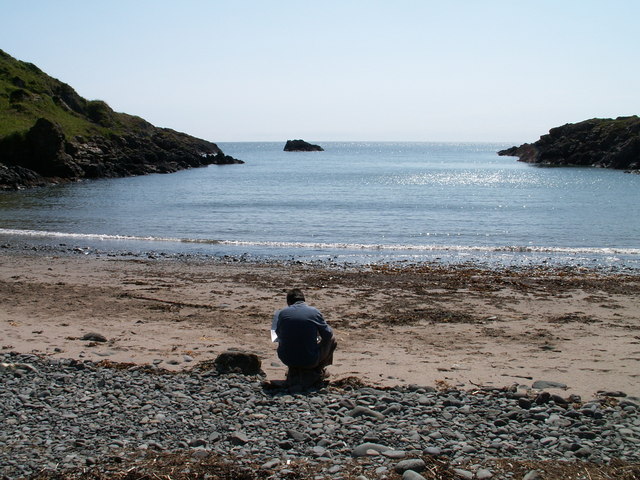
Black Head is a prominent coastal feature located in Wigtownshire, Scotland. It is a headland or point that extends into the Irish Sea, forming a distinctive shape that is easily recognizable. The headland is situated near the village of Port William, about 10 miles from the town of Newton Stewart.
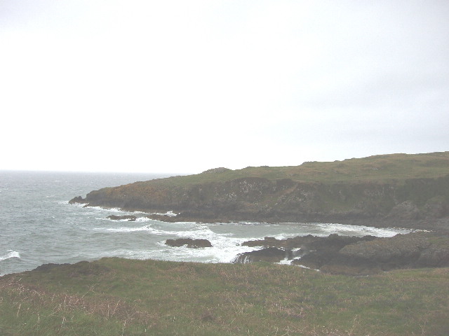
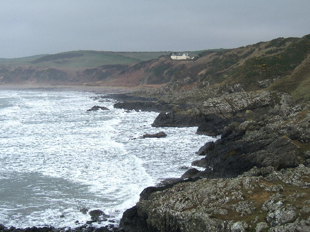
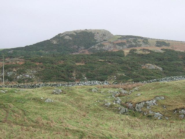
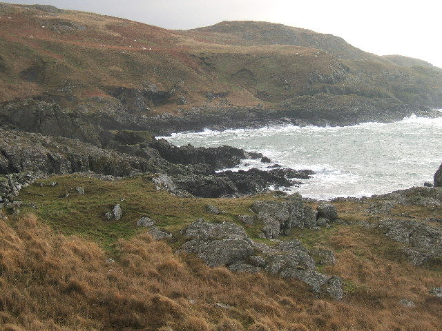
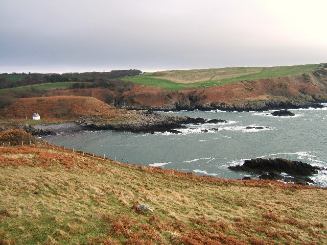
The geography of Black Head is characterized by rugged cliffs that rise steeply from the sea, reaching heights of around 100 feet in some areas. The headland is composed of dark, sedimentary rocks, giving it its name. These rocks are primarily sandstone and shale, dating back millions of years. The cliffs are often weathered by the strong winds and waves that batter the coast, creating dramatic formations and sea caves.
The area around Black Head is known for its rich biodiversity. The cliffs provide nesting grounds for various seabirds, including kittiwakes, fulmars, and guillemots. Seals can often be spotted in the waters around the headland, basking on the rocky outcrops. The surrounding waters are also home to a diverse range of marine life, including fish, crustaceans, and mollusks.
Black Head is a popular destination for hikers and nature enthusiasts. The headland offers breathtaking views of the surrounding coastline and the Irish Sea, making it a perfect spot for photography and enjoying the beauty of the natural landscape. Visitors can explore the cliffs by following well-established coastal paths and take in the sights and sounds of this stunning coastal feature.
If you have any feedback on the listing, please let us know in the comments section below.
Black Head Images
Images are sourced within 2km of 54.863696/-5.1470069 or Grid Reference NW9856. Thanks to Geograph Open Source API. All images are credited.


Black Head is located at Grid Ref: NW9856 (Lat: 54.863696, Lng: -5.1470069)
Unitary Authority: Dumfries and Galloway
Police Authority: Dumfries and Galloway
What 3 Words
///shippers.oblige.poem. Near Stranraer, Dumfries & Galloway
Nearby Locations
Related Wikis

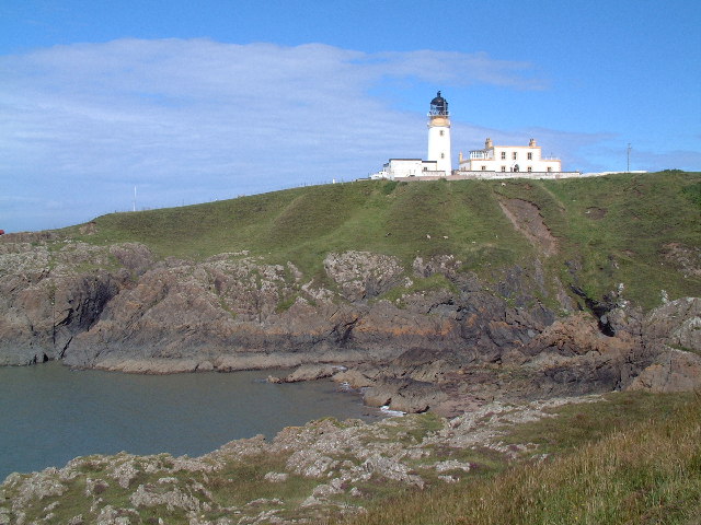
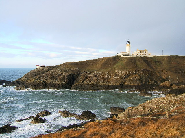
Killantringan Lighthouse
Killantringan Lighthouse is a lighthouse located near Portpatrick in Dumfries and Galloway, south-west Scotland. The light came into operation in 1900...

MV Craigantlet
MV Craigantlet was a German-owned, Cyprus-registered container ship operated on time-charter by Cawoods Containers Ltd of Belfast. She ran aground on 26...

Portpatrick
Portpatrick is a village and civil parish in the historical county of Wigtownshire, Dumfries and Galloway, Scotland. It is located on the west coast of...

Portpatrick railway station
Portpatrick railway station was a railway station serving the village of Portpatrick, Dumfries & Galloway, Scotland. Opened in 1862 the station served...
Nearby Amenities
Located within 500m of 54.863696,-5.1470069Have you been to Black Head?
Leave your review of Black Head below (or comments, questions and feedback).