Slognaglass
Sea, Estuary, Creek in Wigtownshire
Scotland
Slognaglass
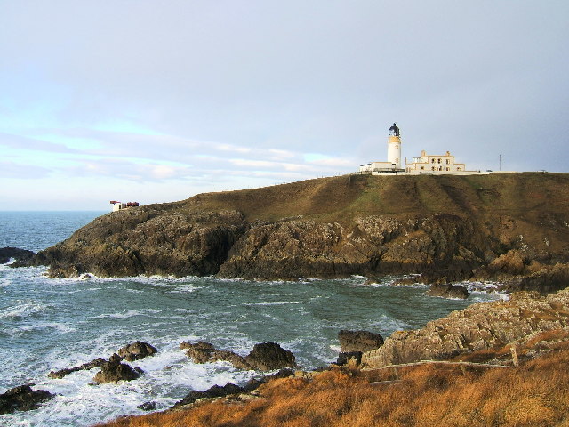
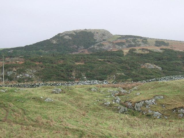
Slognaglass is a picturesque coastal village located in Wigtownshire, Scotland. Situated on the shores of the Irish Sea, it offers stunning views of the sea, estuary, and creek, making it a popular destination for nature enthusiasts and tourists alike.
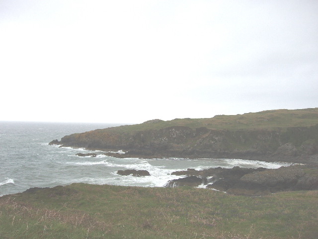
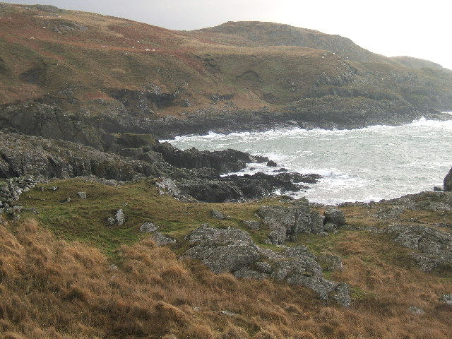
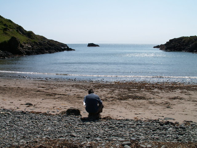
The village is known for its unspoiled beaches, with golden sands stretching for miles along the coastline. The sea in Slognaglass is renowned for its clear blue waters, attracting swimmers, surfers, and kayakers who enjoy the refreshing waves. It is also a haven for wildlife, with seals often seen basking on the rocks and a wide variety of seabirds soaring overhead.
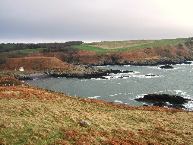
The estuary in Slognaglass is a particularly beautiful spot, where the sea meets the mouth of a river. This creates a unique ecosystem, rich in marine life and offering opportunities for fishing and boating. The estuary is home to a diverse range of plants and animals, providing a habitat for many species of birds, fish, and shellfish.
A charming creek runs through the heart of the village, providing a tranquil setting for leisurely walks and picnics. The creek is tidal, and at low tide, it reveals a mesmerizing landscape of mudflats and salt marshes teeming with marine organisms.
Slognaglass offers a serene and idyllic coastal experience, with its pristine beaches, breathtaking sea views, and diverse ecosystems. Whether you are seeking relaxation, adventure, or an opportunity to immerse yourself in nature, this charming village in Wigtownshire has something to offer every visitor.
If you have any feedback on the listing, please let us know in the comments section below.
Slognaglass Images
Images are sourced within 2km of 54.861065/-5.1486098 or Grid Reference NW9856. Thanks to Geograph Open Source API. All images are credited.


Slognaglass is located at Grid Ref: NW9856 (Lat: 54.861065, Lng: -5.1486098)
Unitary Authority: Dumfries and Galloway
Police Authority: Dumfries and Galloway
What 3 Words
///fatter.kickbacks.afraid. Near Stranraer, Dumfries & Galloway
Nearby Locations
Related Wikis

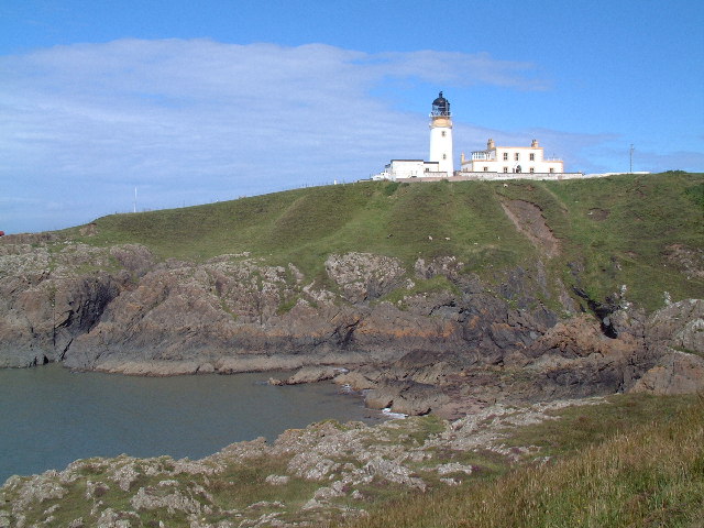
Killantringan Lighthouse
Killantringan Lighthouse is a lighthouse located near Portpatrick in Dumfries and Galloway, south-west Scotland. The light came into operation in 1900...

MV Craigantlet
MV Craigantlet was a German-owned, Cyprus-registered container ship operated on time-charter by Cawoods Containers Ltd of Belfast. She ran aground on 26...

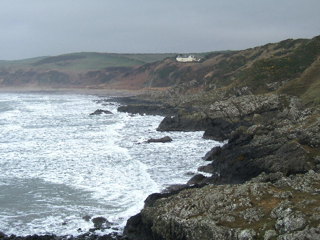
Portpatrick
Portpatrick is a village and civil parish in the historical county of Wigtownshire, Dumfries and Galloway, Scotland. It is located on the west coast of...

Portpatrick railway station
Portpatrick railway station was a railway station serving the village of Portpatrick, Dumfries & Galloway, Scotland. Opened in 1862 the station served...
Nearby Amenities
Located within 500m of 54.861065,-5.1486098Have you been to Slognaglass?
Leave your review of Slognaglass below (or comments, questions and feedback).