Am Fiaclachan
Coastal Feature, Headland, Point in Ross-shire
Scotland
Am Fiaclachan
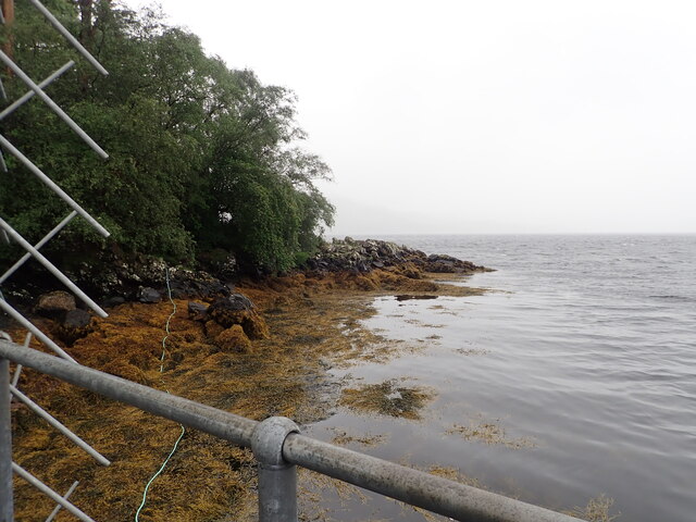
Am Fiaclachan is a prominent headland located on the rugged coast of Ross-shire, Scotland. Situated in the northern part of the country, it is a striking coastal feature that juts out into the North Atlantic Ocean. The name "Am Fiaclachan" translates to "The Tooth-like Promontory" in Gaelic, which accurately describes its distinctive appearance.
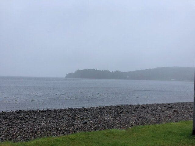
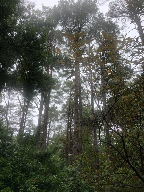
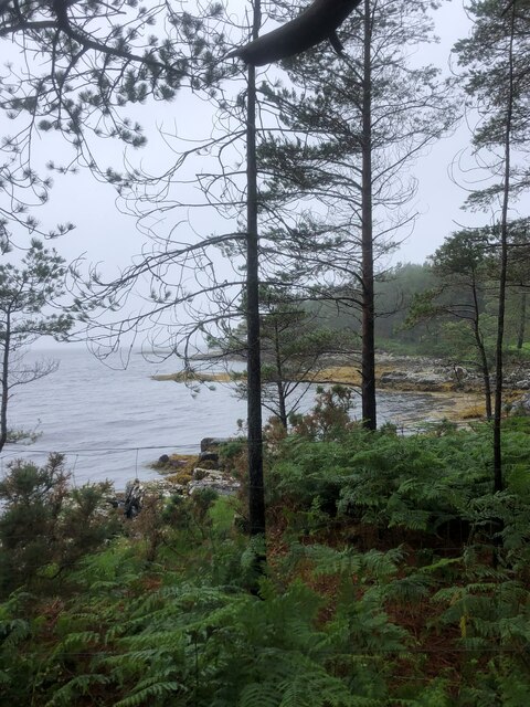
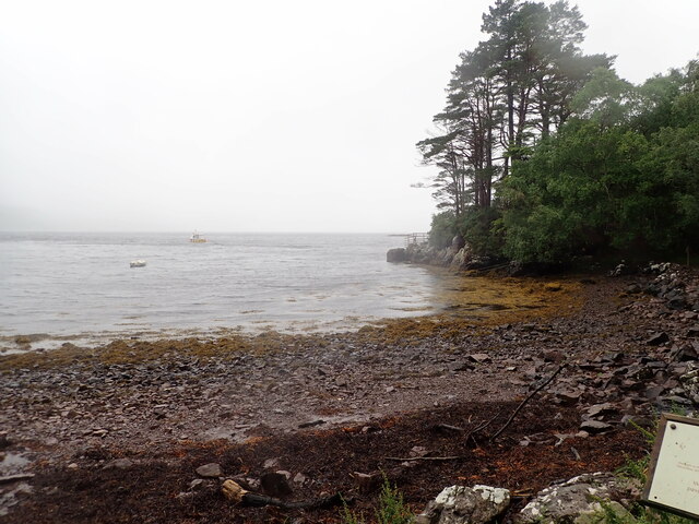
This headland is characterized by its steep cliffs, which rise dramatically from the sea below. The cliffs are composed of rugged rock formations, displaying layers of sedimentary rocks dating back millions of years. The headland is predominantly made up of sandstone and shale, with occasional patches of limestone.
The top of Am Fiaclachan offers breathtaking views of the surrounding coastline. From this vantage point, visitors can witness the raw power of the crashing waves against the cliffs, as well as enjoy panoramic vistas of the ocean and the distant horizon. The headland also provides a perfect location for birdwatching, as it attracts a diverse range of seabirds, including puffins, gannets, and guillemots.
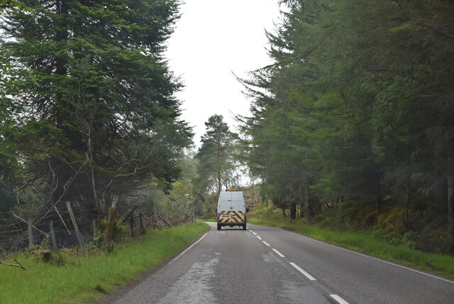
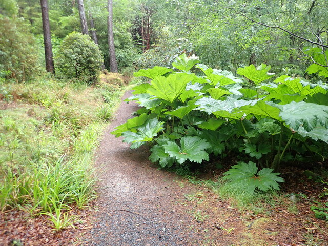
Access to Am Fiaclachan is relatively easy, with a well-maintained footpath leading to the headland. However, caution is advised as the cliff edges can be dangerous, especially during stormy weather or high tides. It is recommended to wear appropriate footwear and be mindful of any warning signs or advice from local authorities.
Am Fiaclachan is a captivating coastal feature that offers a glimpse into Scotland's rugged and untamed beauty. It is a must-visit destination for nature enthusiasts and those seeking a truly immersive experience in the breathtaking Scottish landscape.
If you have any feedback on the listing, please let us know in the comments section below.
Am Fiaclachan Images
Images are sourced within 2km of 57.787029/-5.6195019 or Grid Reference NG8483. Thanks to Geograph Open Source API. All images are credited.


Am Fiaclachan is located at Grid Ref: NG8483 (Lat: 57.787029, Lng: -5.6195019)
Unitary Authority: Highland
Police Authority: Highlands and Islands
What 3 Words
///overlaps.submit.removal. Near Gairloch, Highland
Nearby Locations
Related Wikis

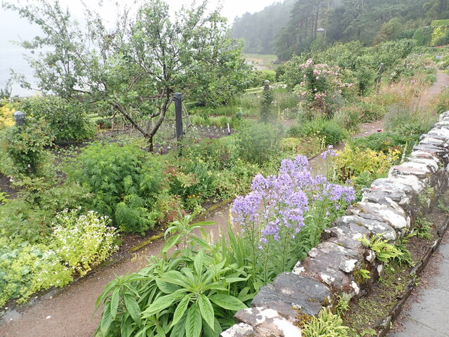
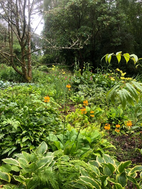
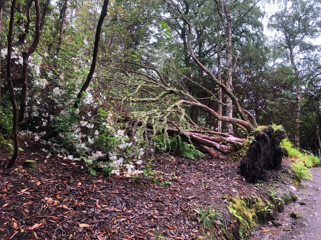
Inverewe Garden
Inverewe Garden (Scottish Gaelic: Gàradh Inbhir Iù) is a botanical garden in Wester Ross in the Scottish Highlands. It is located just to the north of...

Poolewe Stone
The Poolewe Stone is a Class-I Pictish stone discovered in 1992 in the cemetery at Poolewe (Poll Iùbh) in Wester Ross. The stone carries the common Pictish...

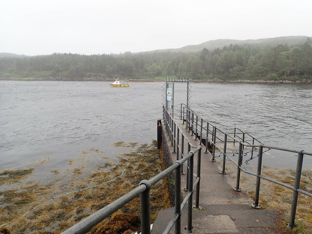
Londubh
Londubh (Scottish Gaelic: An Lòn Dubh) is a village on the south shore of Loch Ewe in Poolewe, Ross-shire, Scottish Highlands and is in the Scottish council...

Poolewe
Poolewe (Scottish Gaelic: Poll Iù) is a small village in Wester Ross in the North West Highlands of Scotland, about 75 miles (120 kilometres) northwest...
Nearby Amenities
Located within 500m of 57.787029,-5.6195019Have you been to Am Fiaclachan?
Leave your review of Am Fiaclachan below (or comments, questions and feedback).