An Sagart
Coastal Feature, Headland, Point in Ross-shire
Scotland
An Sagart
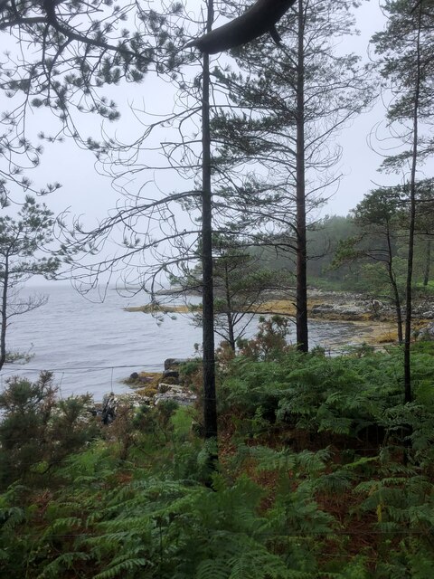
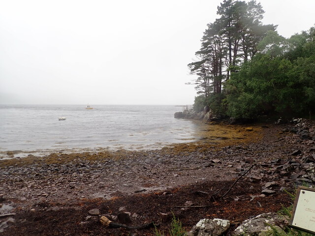
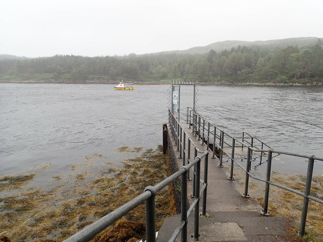
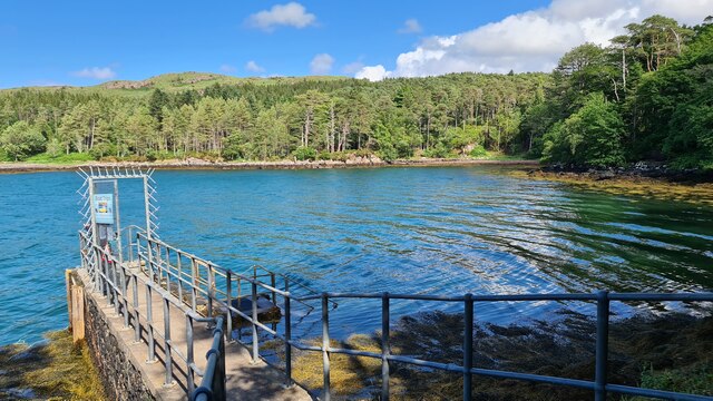
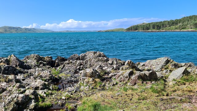
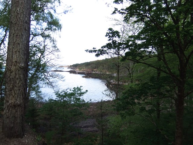
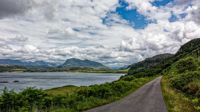
An Sagart is a prominent headland located in Ross-shire, a coastal region in the northwest of Scotland. Situated on the rugged coastline overlooking the North Atlantic Ocean, it is a striking geographical feature that has captivated visitors and locals alike.
The name "An Sagart" translates to "The Priest" in Scottish Gaelic, and it is believed to have been derived from a legend about a priest who once resided in a small chapel on the headland. This historical connection adds an air of mystique to the already picturesque location.
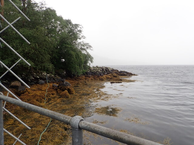
The headland itself is characterized by steep cliffs that plunge dramatically into the sea, providing breathtaking views of the surrounding waters and the distant horizon. The rocky terrain is interspersed with patches of grass and heather, adding a touch of green to the otherwise rugged landscape.
An Sagart is an ideal spot for birdwatching enthusiasts, as it is home to a variety of seabirds including gannets, puffins, and guillemots. The crashing waves and strong winds make it a challenging but exhilarating location for outdoor activities such as hiking and photography.
Access to An Sagart is relatively easy, with a well-marked trail leading to the headland from a nearby car park. Visitors are advised to wear appropriate footwear and exercise caution, as the terrain can be slippery and uneven.
In conclusion, An Sagart is a stunning coastal feature that offers a unique blend of natural beauty, historical significance, and outdoor recreational opportunities. Whether one is seeking solitude, adventure, or simply a chance to immerse themselves in the awe-inspiring scenery, this headland is sure to leave a lasting impression.
If you have any feedback on the listing, please let us know in the comments section below.
An Sagart Images
Images are sourced within 2km of 57.789688/-5.6211319 or Grid Reference NG8483. Thanks to Geograph Open Source API. All images are credited.
An Sagart is located at Grid Ref: NG8483 (Lat: 57.789688, Lng: -5.6211319)
Unitary Authority: Highland
Police Authority: Highlands and Islands
What 3 Words
///pose.dish.golden. Near Gairloch, Highland
Nearby Locations
Related Wikis

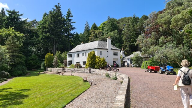
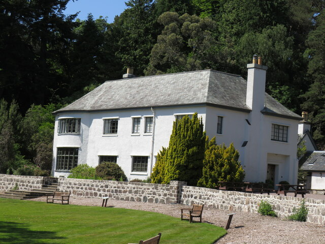
Inverewe Garden
Inverewe Garden (Scottish Gaelic: Gàradh Inbhir Iù) is a botanical garden in Wester Ross in the Scottish Highlands. It is located just to the north of...

Poolewe Stone
The Poolewe Stone is a Class-I Pictish stone discovered in 1992 in the cemetery at Poolewe (Poll Iùbh) in Wester Ross. The stone carries the common Pictish...

Londubh
Londubh (Scottish Gaelic: An Lòn Dubh) is a village on the south shore of Loch Ewe in Poolewe, Ross-shire, Scottish Highlands and is in the Scottish council...

Poolewe
Poolewe (Scottish Gaelic: Poll Iù) is a small village in Wester Ross in the North West Highlands of Scotland, about 75 miles (120 kilometres) northwest...
Nearby Amenities
Located within 500m of 57.789688,-5.6211319Have you been to An Sagart?
Leave your review of An Sagart below (or comments, questions and feedback).